Arrathorne
Settlement in Yorkshire Richmondshire
England
Arrathorne
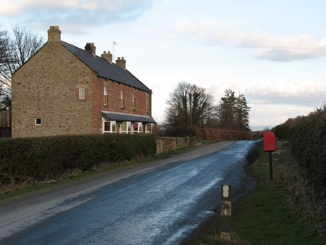
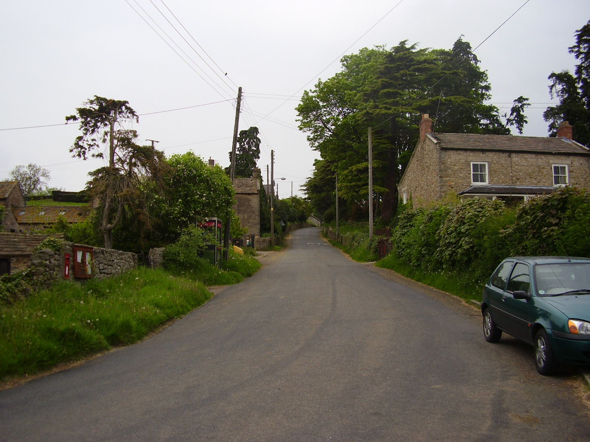
Arrathorne is a small village nestled in the heart of Yorkshire, England. Situated in the Richmondshire district, it is located approximately 4 miles north-west of the market town of Bedale. With a population of just over 100 residents, Arrathorne exudes a charming and peaceful ambiance.
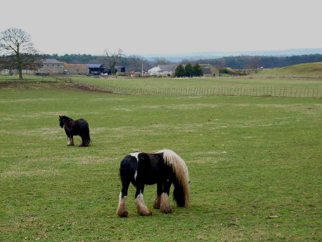
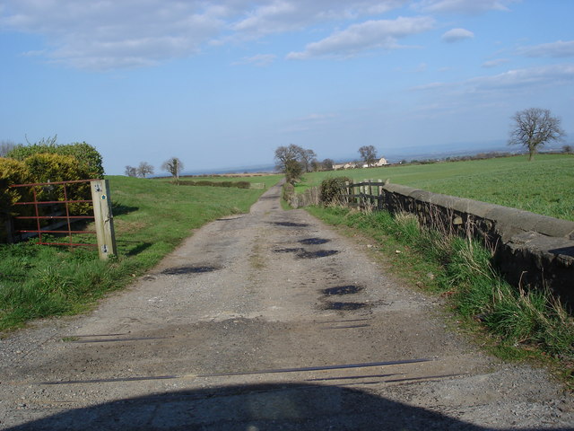
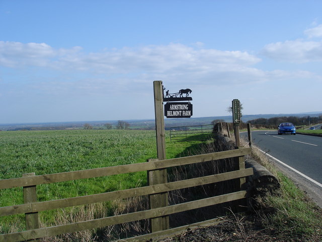
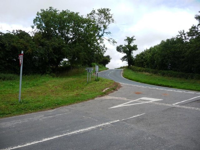
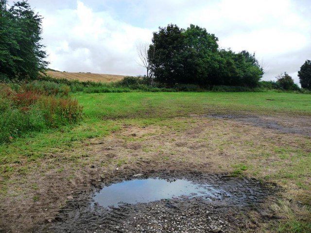
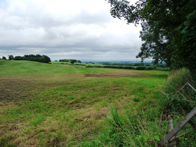
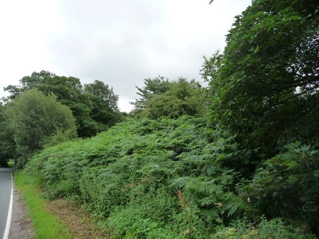
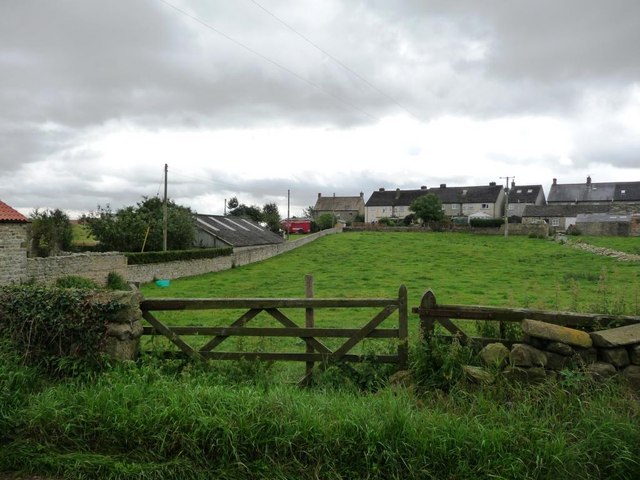
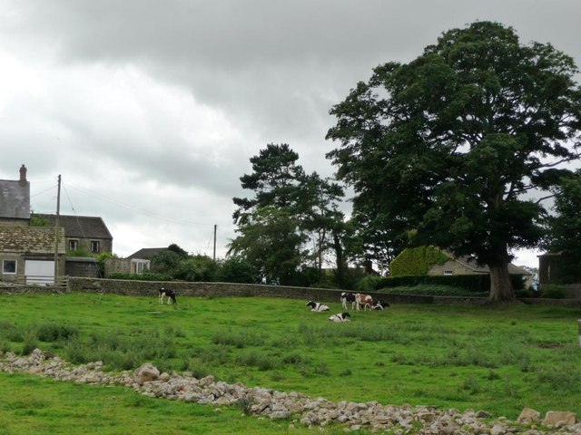
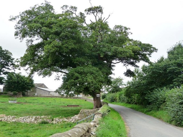
Surrounded by rolling countryside, the village boasts picturesque views and an abundance of natural beauty. The landscape is dotted with lush green fields, grazing livestock, and hedgerows that give a distinct rural character to the area. The nearby River Swale adds to the scenic allure, providing a tranquil setting for walks and picnics.
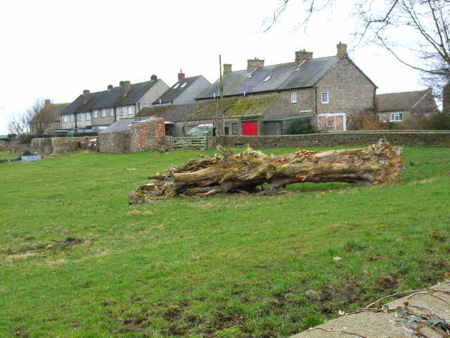
Arrathorne is notable for its historic buildings, which contribute to its timeless appeal. The village church, St. Oswald's, is a Grade II listed structure dating back to the 12th century. Its architectural features, including a Norman doorway and stained glass windows, attract both history enthusiasts and visitors seeking a quiet place of reflection.
Although small in size, Arrathorne offers various amenities for its residents and visitors. The village pub, The Buck Inn, is a popular gathering spot, known for its warm hospitality and traditional British cuisine. Additionally, its proximity to Bedale ensures easy access to a wider range of shops, schools, and healthcare facilities.
For those seeking outdoor activities, Arrathorne is ideally located. The Yorkshire Dales National Park lies a short distance to the west, offering opportunities for hiking, cycling, and exploring the stunning natural landscapes that the region is renowned for.
In summary, Arrathorne is a charming and idyllic village in Yorkshire, combining timeless beauty, rich history, and a close-knit community spirit. It provides a peaceful escape from the hustle and bustle of city life, while offering easy access to nearby amenities and the natural wonders of the Yorkshire Dales.
If you have any feedback on the listing, please let us know in the comments section below.
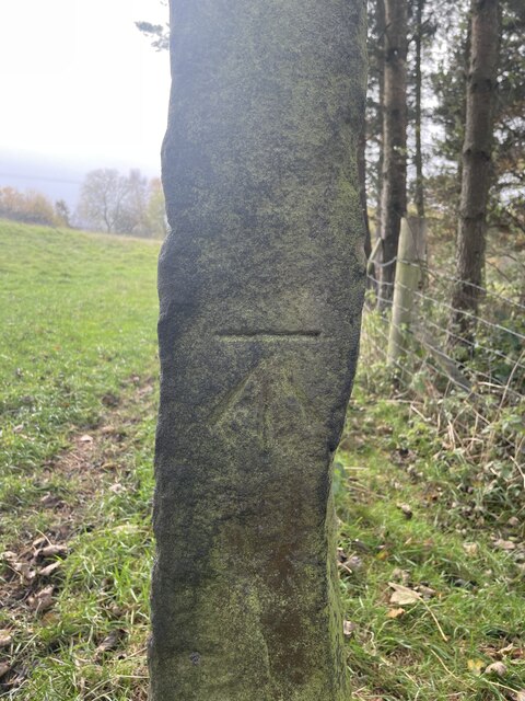
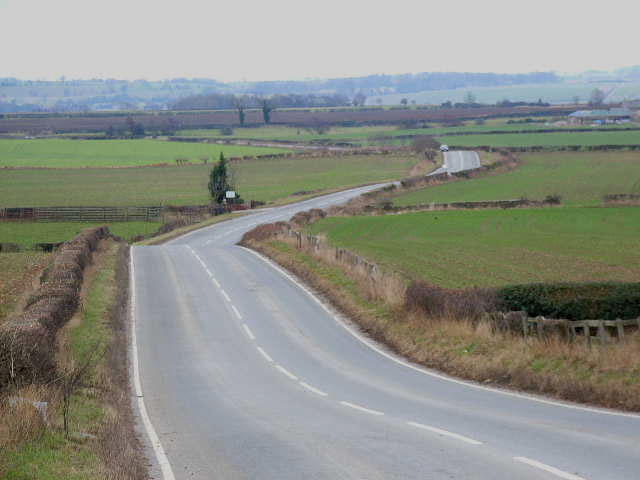
Arrathorne Images
Images are sourced within 2km of 54.334593/-1.693015 or Grid Reference SE2093. Thanks to Geograph Open Source API. All images are credited.


Arrathorne is located at Grid Ref: SE2093 (Lat: 54.334593, Lng: -1.693015)
Division: North Riding
Administrative County: North Yorkshire
District: Richmondshire
Police Authority: North Yorkshire
What 3 Words
///positions.overpower.stunts. Near Catterick Garrison, North Yorkshire
Nearby Locations
Related Wikis

Arrathorne
Arrathorne is a hamlet and civil parish in the former Richmondshire district of North Yorkshire, England. The settlement is 6 miles (9 km) south of Richmond...

Hunton, North Yorkshire
Hunton is a village and civil parish about 3 miles (4.8 km) south of Catterick Garrison and 6 miles (10 km) north west of Bedale, in North Yorkshire, England...

Hornby, Richmondshire
Hornby is a small village and civil parish located about 4 miles (6.4 km) north-west of Bedale. It is part of the non-metropolitan district of Richmondshire...

Church of St Mary the Virgin, Hornby
St Mary's Church Hornby, is the parish church for the village of Hornby, Richmondshire in North Yorkshire, England. The church is one of six in the Benefice...
Scotton, Richmondshire
Scotton is a village, civil parish and electoral ward in the Richmondshire district of North Yorkshire, England. The civil parish includes the centre and...
East Hauxwell
East Hauxwell or Hauxwell is a village and civil parish in North Yorkshire, England. It is located south of Catterick Garrison.To the west of the village...

Hornby Castle, North Yorkshire
Hornby Castle is a grade I listed fortified manor house on the edge of Wensleydale between Bedale and Leyburn, in the county of North Yorkshire, England...

Akebar
Akebar is a township and civil parish in North Yorkshire, England, about eight miles south of Richmond. It consists of a caravan site, as well as several...
Nearby Amenities
Located within 500m of 54.334593,-1.693015Have you been to Arrathorne?
Leave your review of Arrathorne below (or comments, questions and feedback).