Arreton
Settlement in Hampshire
England
Arreton
Arreton is a picturesque village located in the county of Hampshire, England. Situated on the Isle of Wight, it is nestled in the heart of the island's countryside, surrounded by rolling green hills and beautiful landscapes. With a population of around 1,200 residents, it offers a peaceful and idyllic setting for those looking to escape the hustle and bustle of city life.
The village is steeped in history, dating back to Roman times. Arreton Manor, a Grade II listed building, stands as a reminder of its rich heritage. The village also boasts an ancient church, St. George's Church, which dates back to the 12th century, showcasing stunning architecture and a tranquil atmosphere.
Arreton is renowned for its traditional rural charm and agricultural roots. It is home to the annual Isle of Wight County Show, a popular event that attracts visitors from all over the island. The village is also famous for its thatched-roof cottages, which add to its quintessential English village appeal.
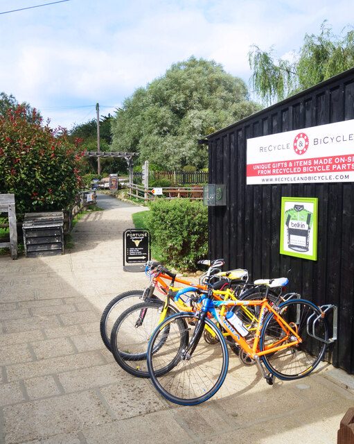
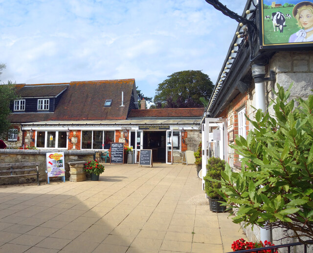
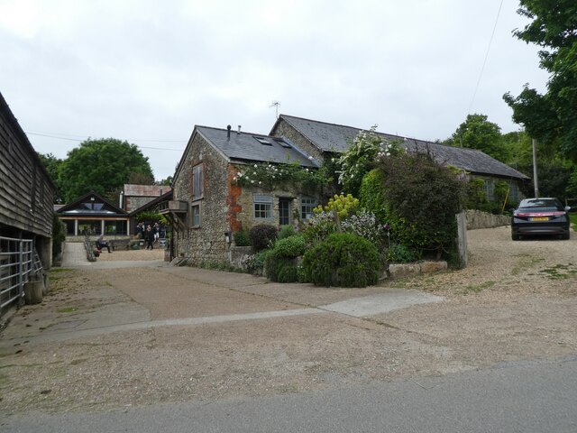
For those interested in local crafts and produce, Arreton Barns is a must-visit. This converted 17th-century barn complex houses a variety of small shops and studios, showcasing the work of talented local artisans. Visitors can browse through unique handcrafted items, sample delicious local food, and even participate in workshops to learn traditional crafts.
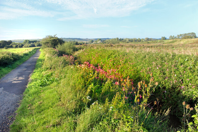
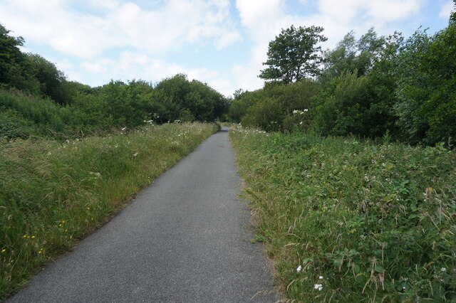
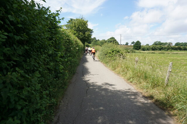
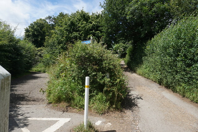
Arreton offers a range of outdoor activities for nature enthusiasts, including scenic walks, cycling routes, and nearby nature reserves. With its charming character and natural beauty, Arreton is a hidden gem in Hampshire, offering a delightful escape for both residents and visitors alike.
If you have any feedback on the listing, please let us know in the comments section below.
Arreton Images
Images are sourced within 2km of 50.673004/-1.236658 or Grid Reference SZ5486. Thanks to Geograph Open Source API. All images are credited.


Arreton is located at Grid Ref: SZ5486 (Lat: 50.673004, Lng: -1.236658)
Unitary Authority: Isle of Wight
Police Authority: Hampshire
What 3 Words
///seaweed.text.couriers. Near Newchurch, Isle of Wight
Nearby Locations
Related Wikis

Arreton
Arreton is a village and civil parish in the central eastern part of the Isle of Wight, England. It is about 3 miles south east of Newport. == Name... ==

St George's Church, Arreton
St George's Church, Arreton, is a parish church in the Church of England located in Arreton, Isle of Wight. == History == The church is medieval and the...

Arreton Manor
Arreton Manor is a manor house in Arreton, Isle of Wight, England. Its history is traced to 872 AD to the time of King Alfred the Great and his parents...

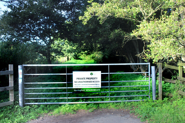
Horringford railway station
Horringford railway station was an intermediate station situated on the edge of Horringford village on the line from Newport to Sandown incorporated by...

Horringford
Horringford is a settlement on the Isle of Wight, off the south coast of England. It is in the civil parish of Arreton. The hamlet lies on the A3056 road...
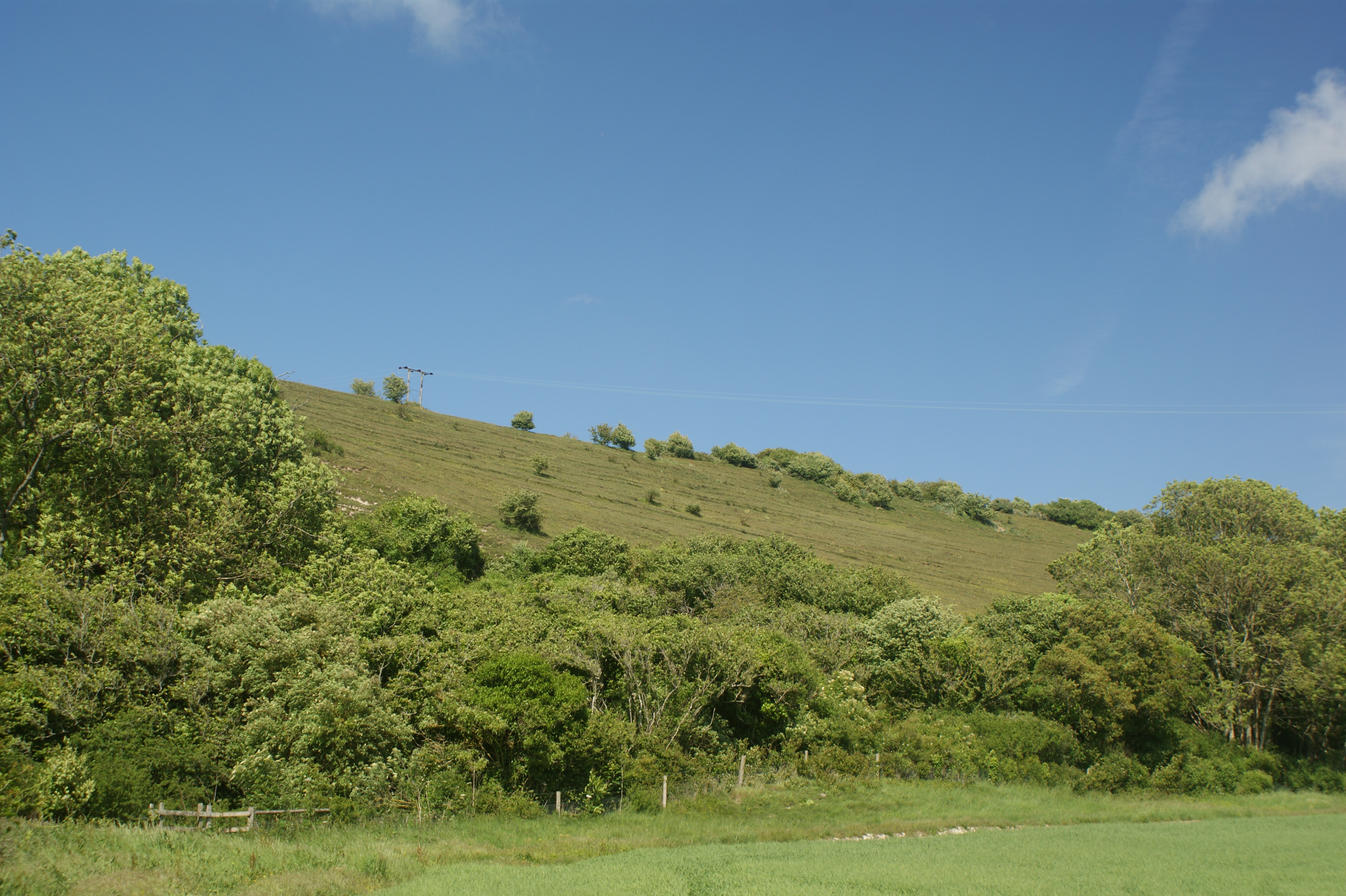
Arreton Down
Arreton Down (grid reference SZ540872) is a 29.77 hectare biological Site of Special Scientific Interest on the Isle of Wight, originally notified in 1979...

Haseley Manor (Isle of Wight)
Haseley Manor is a 14th-century, Grade 2* listed property located in Arreton on the Isle of Wight. The name Haseley is derived from the Saxon Haesel-leah...

Hale Manor
Hale Manor (also Atehalle, la Hale) is a manor house on the Isle of Wight, situated in the parish of Arreton. It forms the south-eastern portion of...
Nearby Amenities
Located within 500m of 50.673004,-1.236658Have you been to Arreton?
Leave your review of Arreton below (or comments, questions and feedback).