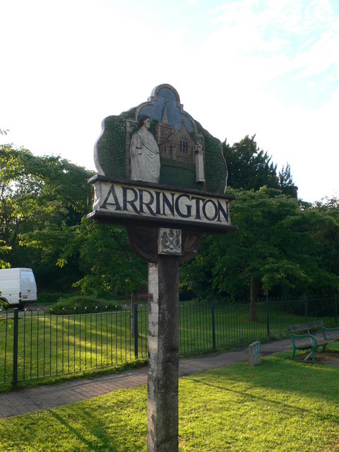
Arrington

Settlement in Cambridgeshire South Cambridgeshire

England

Arrington

Croydon
Croydon Credit: mym

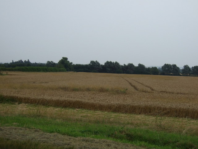
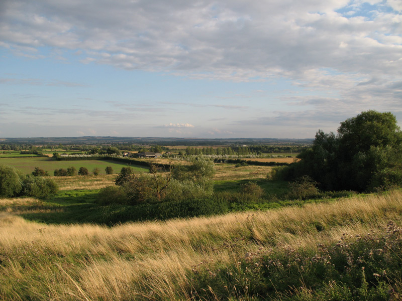
Arrington is a small village located in the South Cambridgeshire district of Cambridgeshire, England. Situated about 8 miles southwest of the city of Cambridge, it is nestled in a rural area surrounded by picturesque countryside. The village is home to around 100 residents, and its tranquil and idyllic setting makes it an attractive place to live.

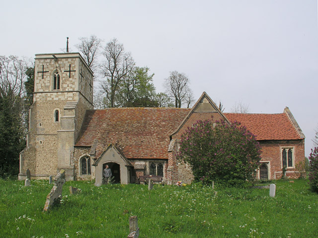
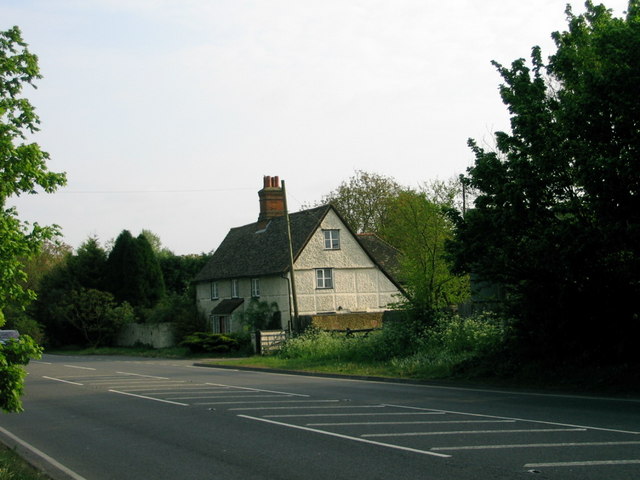
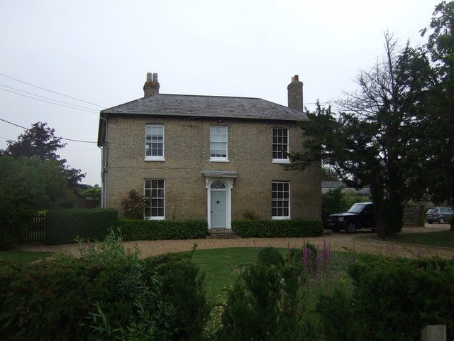
Arrington has a rich history dating back to medieval times, with the Domesday Book of 1086 recording its existence. The village features a mix of architectural styles, including thatched cottages and timber-framed buildings, which add to its charm and character.

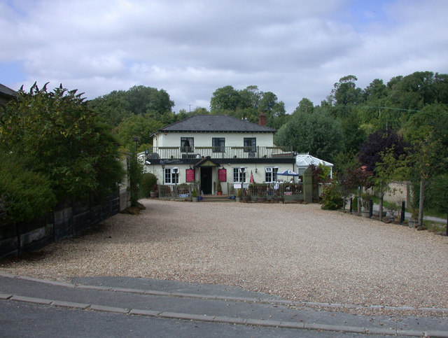
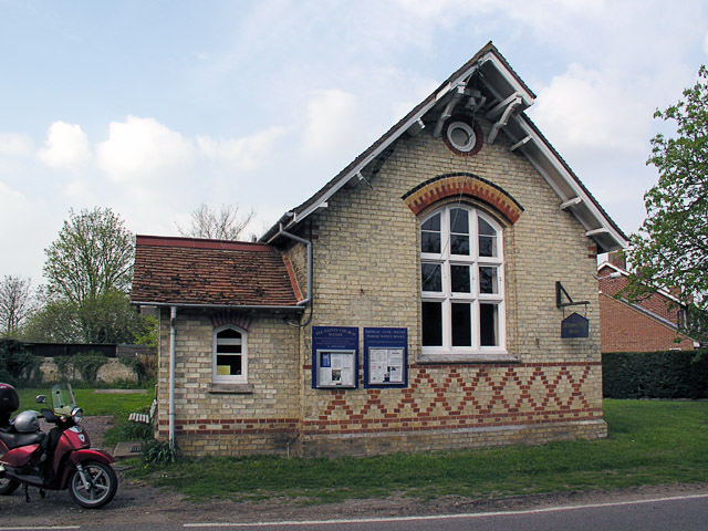
Despite its small size, Arrington offers a range of amenities for its residents. The village boasts a primary school, providing education for local children, and a community hall that hosts various events and activities. Additionally, there is a local pub that serves as a social hub for the community.

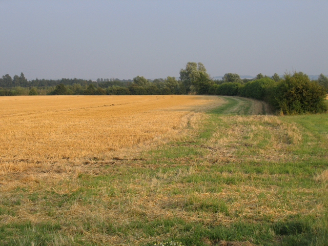
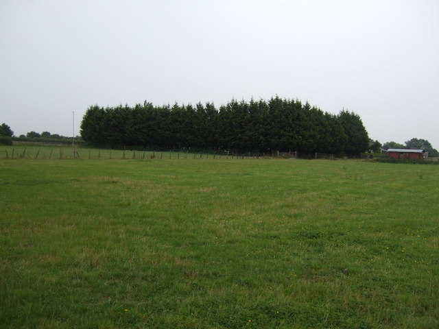
For those seeking outdoor recreation, Arrington offers several opportunities. The village is surrounded by beautiful countryside, offering ample walking and cycling routes for nature enthusiasts. Additionally, the nearby Wimpole Estate provides a vast expanse of parkland, woodlands, and gardens for residents to explore.

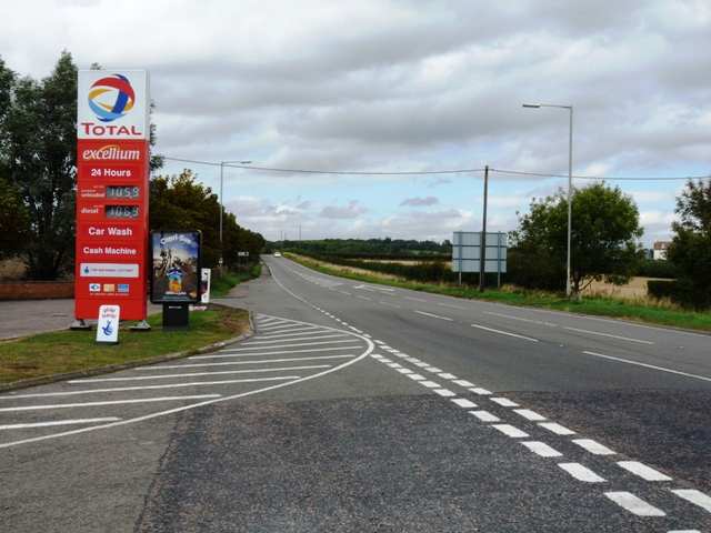
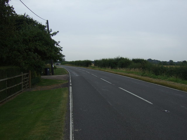
Arrington's location provides convenient access to the city of Cambridge, with its renowned universities, cultural attractions, and shopping facilities. The village is also well-connected to other towns and cities in the region, with good transport links by road and public transport.

Overall, Arrington is a charming and peaceful village, offering a close-knit community and a tranquil rural setting within easy reach of nearby amenities and cultural attractions.

If you have any feedback on the listing, please let us know in the comments section below.
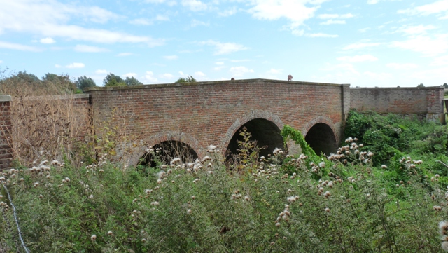
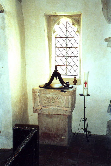
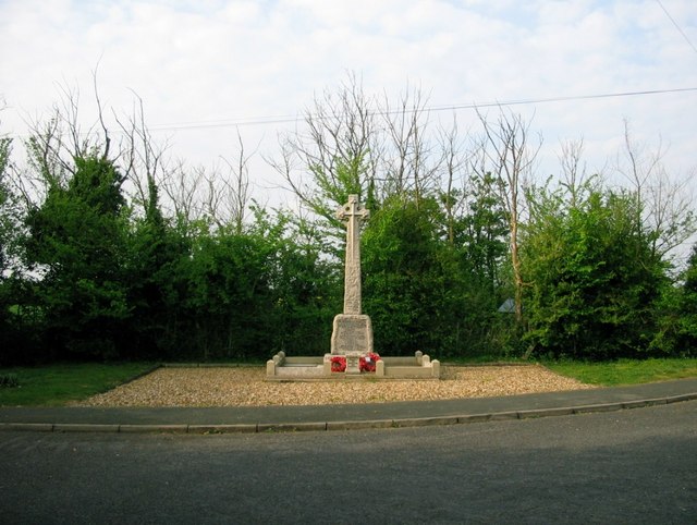
Arrington Images

Images are sourced within 2km of 52.134395/-0.062113 or Grid Reference TL3250. Thanks to Geograph Open Source API. All images are credited.

Croydon
Croydon
South Avenue, Wimpole, Cambs Charles Bridgeman's formal South Avenue, Wimpole, Cambs looking north towards Wimpole Hall from the A603; the original mature elms acquired Dutch Elm Disease and were felled in the 1970s and replaced with limes.
South Avenue, Wimpole, Cambs
Charles Bridgeman's formal South Avenue, Wimpole, Cambs looking north towards Wimpole Hall from the A603; the original mature elms acquired Dutch Elm Disease and were felled in the 1970s and replaced with limes.
Farmland, New Wimpole, Cambs Looking N across flat farmland from Cambridge Road towards Four Acre Covert.
Farmland, New Wimpole, Cambs
Looking N across flat farmland from Cambridge Road towards Four Acre Covert.
The Cam valley after harvest, Arrington, Cambs – view SE from the edge of the boulder clay plateau on Croydon Road, with the Chalk escarpment above Royston in the far distance.
The Cam valley after harvest, Arrington, Cambs
– view SE from the edge of the boulder clay plateau on Croydon Road, with the Chalk escarpment above Royston in the far distance.
Curved hedgerow and golden stubble, Croydon, Cambs – view SE from the B1042 Lower Road, across the valley to the River Cam or Rhee.
Curved hedgerow and golden stubble, Croydon, Cambs
– view SE from the B1042 Lower Road, across the valley to the River Cam or Rhee.
The Queen Adelaide P.H., Croydon
A1198 Ermine Way The view north along Ermine Way from the garage towards the village
A1198 Ermine Way
The view north along Ermine Way from the garage towards the village
Bridge over the River Cam The River Cam is little more than an overgrown stream here where this bridge carries the South Drive of Wimpole Hall over the river.
Bridge over the River Cam
The River Cam is little more than an overgrown stream here where this bridge carries the South Drive of Wimpole Hall over the river.
Old Milepost Old milepost on the A1198 near to Arrington, Cambridgeshire for close up view see <a title="https://www.geograph.org.uk/photo/1536973" href="https://www.geograph.org.uk/photo/1536973">Link</a> and for more info on the stone see <span class="nowrap"><a title="http://milestones.megalithia.com/sites/tl330497.htm" rel="nofollow ugc noopener" href="http://milestones.megalithia.com/sites/tl330497.htm">Link</a><img style="margin-left:2px;" alt="External link" title="External link - shift click to open in new window" src="https://s1.geograph.org.uk/img/external.png" width="10" height="10"/></span> do have a look at their home page.
Old Milepost
Old milepost on the A1198 near to Arrington, Cambridgeshire for close up view see Link and for more info on the stone see LinkExternal link do have a look at their home page.
Old Milepost Old milepost on the A1198 near to Arrington, Cambridgeshire for overall view see <a title="https://www.geograph.org.uk/photo/1536966" href="https://www.geograph.org.uk/photo/1536966">Link</a> and for more info on the stone see <span class="nowrap"><a title="http://milestones.megalithia.com/sites/tl330497.htm" rel="nofollow ugc noopener" href="http://milestones.megalithia.com/sites/tl330497.htm">Link</a><img style="margin-left:2px;" alt="External link" title="External link - shift click to open in new window" src="https://s1.geograph.org.uk/img/external.png" width="10" height="10"/></span> do have a look at their home page.
Old Milepost
Old milepost on the A1198 near to Arrington, Cambridgeshire for overall view see Link and for more info on the stone see LinkExternal link do have a look at their home page.
Font and Paschal Candle, All Saints, Croydon, Cambs. The candle is in its traditional place beside the font. It is usually replaced each year and lit for the first time at Easter. It symbolises the Resurrection, an important aspect of baptism.
Font and Paschal Candle, All Saints, Croydon, Cambs.
The candle is in its traditional place beside the font. It is usually replaced each year and lit for the first time at Easter. It symbolises the Resurrection, an important aspect of baptism.
The Wimpole and Arrington War Memorial, Wimpole Lodge This memorial is now hidden from the main road the A1198,for an earlier photograph see <span class="nowrap"><a title="http://www.arrington.org.uk/memorial.asp" rel="nofollow ugc noopener" href="http://www.arrington.org.uk/memorial.asp">Link</a><img style="margin-left:2px;" alt="External link" title="External link - shift click to open in new window" src="https://s1.geograph.org.uk/img/external.png" width="10" height="10"/></span>
The Wimpole and Arrington War Memorial, Wimpole Lodge
This memorial is now hidden from the main road the A1198,for an earlier photograph see LinkExternal link
Cottage on the A1198, Wimpole Lodge
Valley Farm
Valley Farm
Crop field, Valley Farm
B1042 heading east near Valley Farm
Grazing, Bridge Farm
Show me another place!

Arrington is located at Grid Ref: TL3250 (Lat: 52.134395, Lng: -0.062113)

Administrative County: Cambridgeshire

District: South Cambridgeshire

Police Authority: Cambridgeshire

What 3 Words

///estimate.prank.briskly. Near Orwell, Cambridgeshire

Related Wikis

Arrington, Cambridgeshire

Arrington is a small village and civil parish in the South Cambridgeshire district of Cambridgeshire, England, with a population of 415 at the time of...
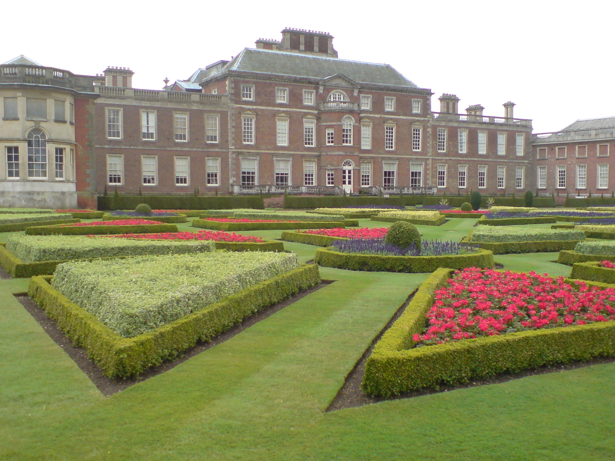
Wimpole Estate

Wimpole Estate is a large estate containing Wimpole Hall, a country house located within the civil parish of Wimpole, Cambridgeshire, England, about 8...

Wimpole

Wimpole is a small village and civil parish in South Cambridgeshire, England, about 8+1⁄2 miles (13.7 km) southwest of Cambridge. Until 1999, the main...

Croydon, Cambridgeshire

Croydon is a small village and civil parish in South Cambridgeshire, England. It is 10 miles (16 km) south-west of Cambridge and immediately west of the...
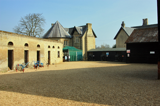
Wimpole Home Farm

Wimpole Home Farm is an 18th-century model farm on the Wimpole Estate, Arrington, Royston, in South Cambridgeshire, England, and operated by the National...
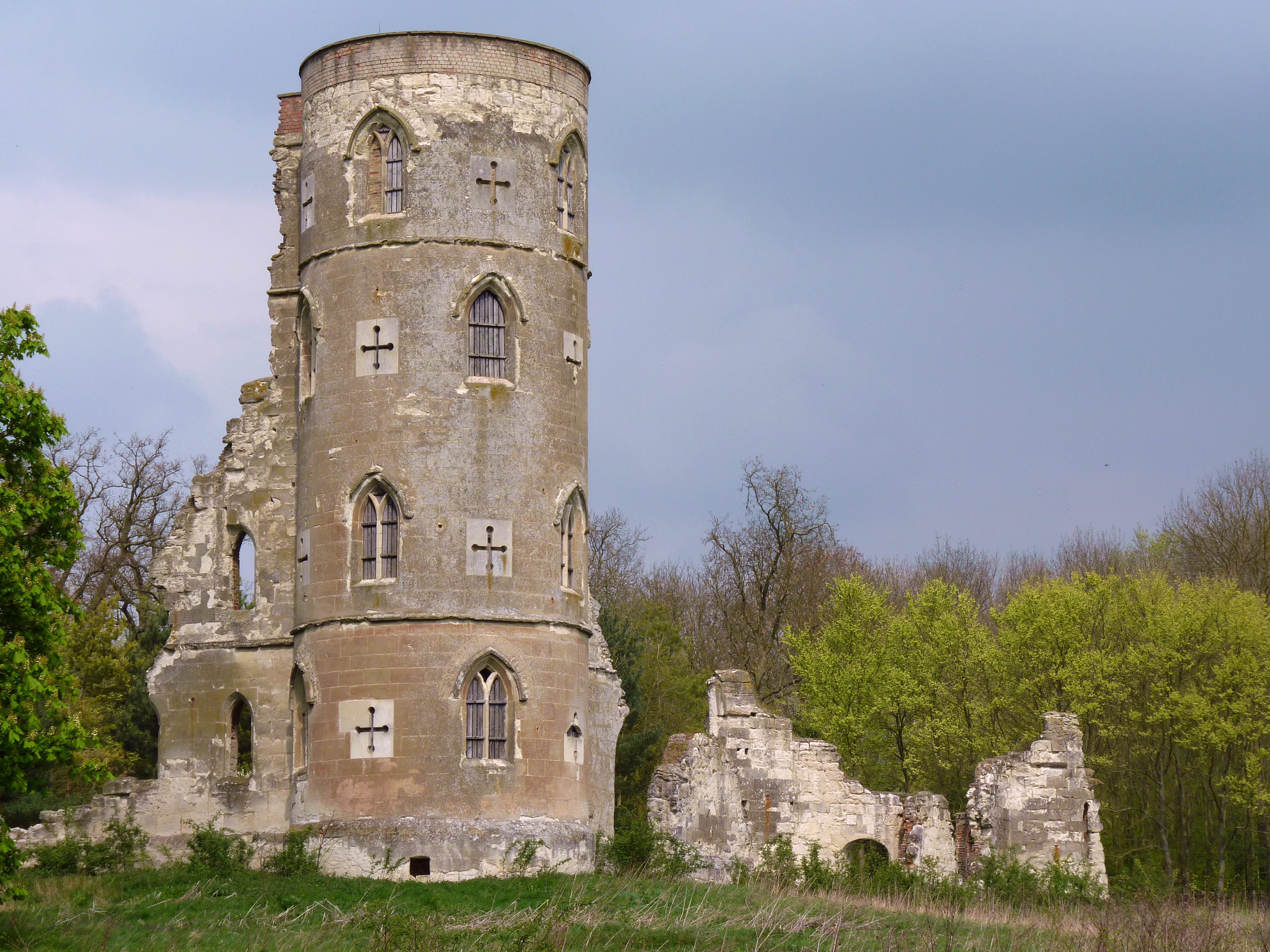
Wimpole's Folly

Wimpole's Folly is a folly ruin located in the grounds of Wimpole Hall, in the parish of Wimpole, in Cambridgeshire, England.The folly is designed to resemble...

Clopton, Cambridgeshire

Clopton is a deserted medieval village (DMV), about 1 mile (1.6 km) south west of the village of Croydon, Cambridgeshire, that once stood on a prominent...

Wendy, Cambridgeshire

Wendy is a hamlet and former civil parish, now in the parish of Shingay cum Wendy, in the South Cambridgeshire district, in the county of Cambridgeshire...

Nearby Amenities

Located within 500m of 52.134395,-0.062113
Barrier: cattle_grid
Source: survey
Lat/Long: 52.1352198/-0.0604261
Post Box
Ref: SG8 529
Lat/Long: 52.1351729/-0.0648111
Post Box
Ref: SG8 284
Lat/Long: 52.1319475/-0.0598548
Bus Stop
Church Lane
Naptan AtcoCode: 0500SARRI001
Naptan Bearing: E
Naptan CommonName: Church Lane
Naptan Indicator: E-bound
Naptan Landmark: Village Garden
Naptan NaptanCode: cmbdtmpm
Naptan ShortCommonName: Church Lane
Naptan Street: Church Lane
Naptan Verified: no
Shelter: yes
Source: naptan_import
Lat/Long: 52.1345995/-0.0613178
Bus Stop
Ermine Way
Naptan AtcoCode: 0500SARRI003
Naptan Bearing: NW
Naptan BusStopType: CUS
Naptan CommonName: Ermine Way
Naptan Indicator: o/s No 75
Naptan Landmark: Ermine Way
Naptan NaptanCode: cmbdtmpw
Naptan ShortCommonName: Ermine Way
Naptan Street: Ermine Way
Naptan Verified: no
Source: naptan_import
Lat/Long: 52.1320044/-0.0598963
Bus Stop
Church Lane
Naptan AtcoCode: 0500SARRI004
Naptan Bearing: W
Naptan BusStopType: CUS
Naptan CommonName: Church Lane
Naptan Crossing: A 1198
Naptan Indicator: W-bound
Naptan Landmark: Village Garden
Naptan NaptanCode: cmbdtmta
Naptan ShortCommonName: Church Lane
Naptan Street: Church Lane
Naptan Verified: no
Source: naptan_import
Lat/Long: 52.134496/-0.0615853
Bus Stop
Ermine Way
Naptan AtcoCode: 0500SWIMP004
Naptan Bearing: SE
Naptan CommonName: Ermine Way
Naptan Indicator: opp No 75
Naptan Landmark: Ermine Way
Naptan NaptanCode: cmbgdgmt
Naptan ShortCommonName: Ermine Way
Naptan Street: Ermine Way
Naptan Verified: no
Source: naptan_import
Lat/Long: 52.1319656/-0.0597226
Power: pole
Lat/Long: 52.1323898/-0.0559588
Power: pole
Lat/Long: 52.1321429/-0.0571631
Power: pole
Lat/Long: 52.131621/-0.0595288
Power: pole
Lat/Long: 52.131891/-0.0583621
Power: pole
Lat/Long: 52.1304321/-0.0645636
Power: pole
Lat/Long: 52.1311731/-0.0614603
Power: pole
Lat/Long: 52.1314034/-0.0605858
Power: pole
Lat/Long: 52.1309688/-0.0622917
Power: pole
Lat/Long: 52.1307038/-0.0634396
Park Bench: yes
Lat/Long: 52.1348312/-0.0617148
Leisure: playground
Lat/Long: 52.1348739/-0.0617254
Park Bench: yes
Lat/Long: 52.1347406/-0.0614707
Information: board
Operator: National Trust
Tourism: information
Lat/Long: 52.1352346/-0.060444
Barrier: kissing_gate
Lat/Long: 52.1379191/-0.0630256
Telephone
Defibrillator
Booth: K6
Covered: booth
Defibrillator Location: inside red phone box at entrance to Arrington Village Gardens, corner of Church Lane and Ermine Way, Arrington
Emergency: defibrillator
Listed Status: Grade II
Man Made: telephone_box
Wikidata: Q26671458
Lat/Long: 52.1346306/-0.0612148
Man Made: village_sign
Lat/Long: 52.1346743/-0.0611034
Bench
Lat/Long: 52.134745/-0.0611303
The data included in this document is from www.openstreetmap.org. The data is made available under ODbL.

Have you been to Arrington?

Leave your review of Arrington below (or comments, questions and feedback).