Limekiln Plantation
Wood, Forest in Cambridgeshire South Cambridgeshire
England
Limekiln Plantation
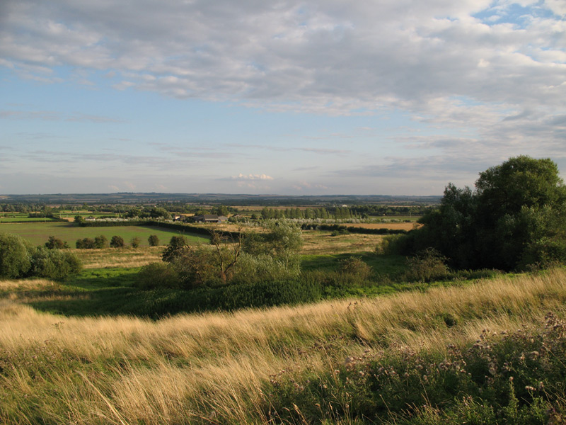
Limekiln Plantation is a picturesque woodland area located in Cambridgeshire, England. Covering an expansive area of approximately 200 acres, this enchanting plantation is known for its dense forests and diverse wildlife.
The woodland consists primarily of native broadleaf trees such as oak, beech, and ash, creating a rich and vibrant ecosystem. The tall, majestic trees provide a canopy that allows sunlight to filter through, illuminating the forest floor and creating a serene and peaceful atmosphere.
Limekiln Plantation is home to a variety of wildlife, making it a popular destination for nature enthusiasts and birdwatchers alike. Visitors may have the opportunity to spot deer, foxes, squirrels, and a wide range of bird species including woodpeckers, owls, and thrushes. The plantation also boasts a diverse range of plant life, with carpets of wildflowers and ferns adding to the natural beauty of the area.
The plantation offers several well-maintained walking trails, allowing visitors to explore the woodland at their own pace. These trails wind through the forest, passing by babbling brooks and small ponds, providing ample opportunities for quiet contemplation and observation of nature.
Limekiln Plantation is a popular destination year-round, with each season offering its own unique charm. In the spring, the woodland comes alive with vibrant blossoms and the sounds of chirping birds. In the summer, the shade provided by the trees offers a cool retreat from the heat. Autumn brings a spectacular display of colorful foliage, while winter paints the plantation in a serene and peaceful white blanket of snow.
Overall, Limekiln Plantation is a natural haven that offers an escape from the hustle and bustle of daily life, providing visitors with a tranquil and beautiful environment to connect with nature.
If you have any feedback on the listing, please let us know in the comments section below.
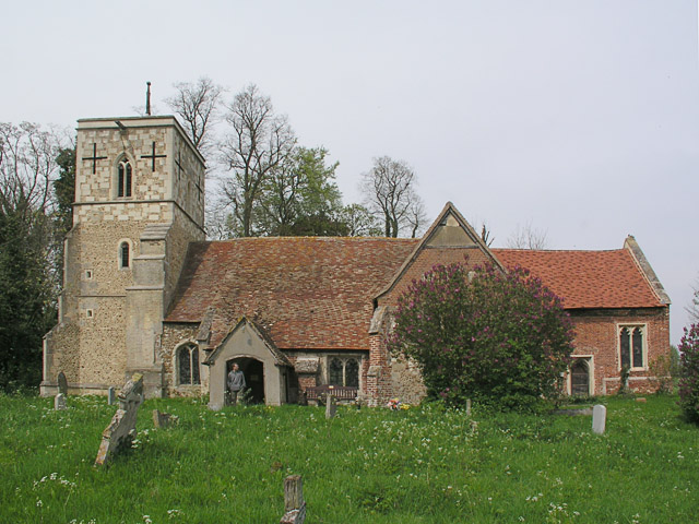
Limekiln Plantation Images
Images are sourced within 2km of 52.140451/-0.063718029 or Grid Reference TL3250. Thanks to Geograph Open Source API. All images are credited.


Limekiln Plantation is located at Grid Ref: TL3250 (Lat: 52.140451, Lng: -0.063718029)
Administrative County: Cambridgeshire
District: South Cambridgeshire
Police Authority: Cambridgeshire
What 3 Words
///relay.billiard.solves. Near Orwell, Cambridgeshire
Nearby Locations
Related Wikis
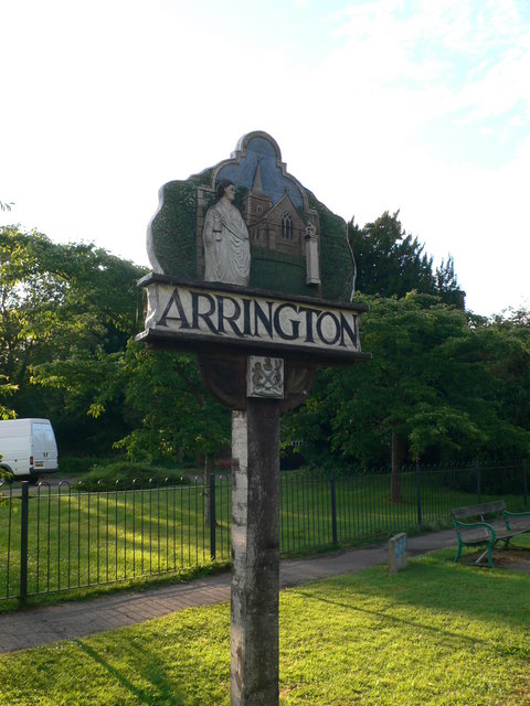
Arrington, Cambridgeshire
Arrington is a small village and civil parish in the South Cambridgeshire district of Cambridgeshire, England, with a population of 415 at the time of...

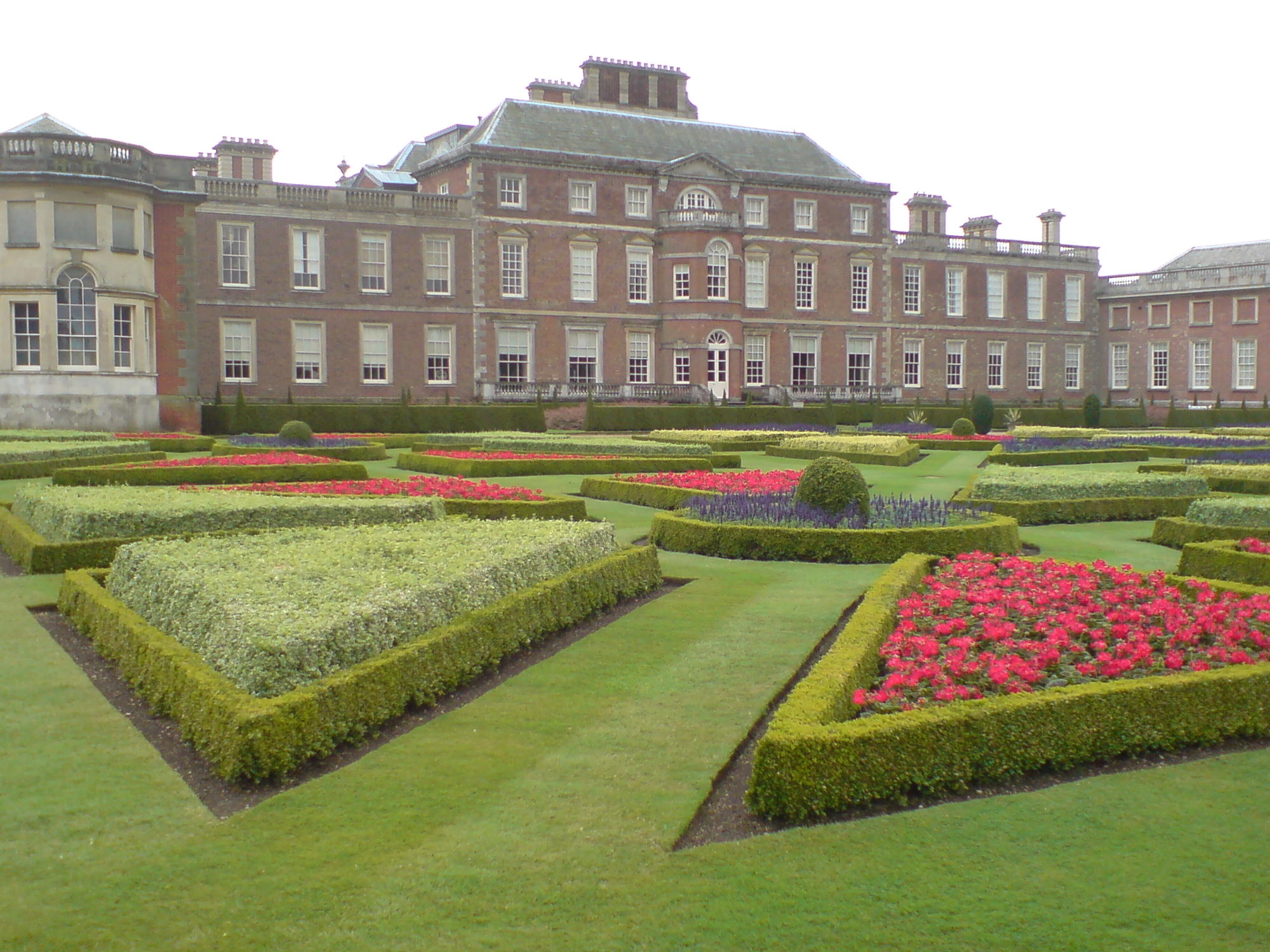
Wimpole Estate
Wimpole Estate is a large estate containing Wimpole Hall, a country house located within the civil parish of Wimpole, Cambridgeshire, England, about 8...
Wimpole
Wimpole is a small village and civil parish in South Cambridgeshire, England, about 8+1⁄2 miles (13.7 km) southwest of Cambridge. Until 1999, the main...
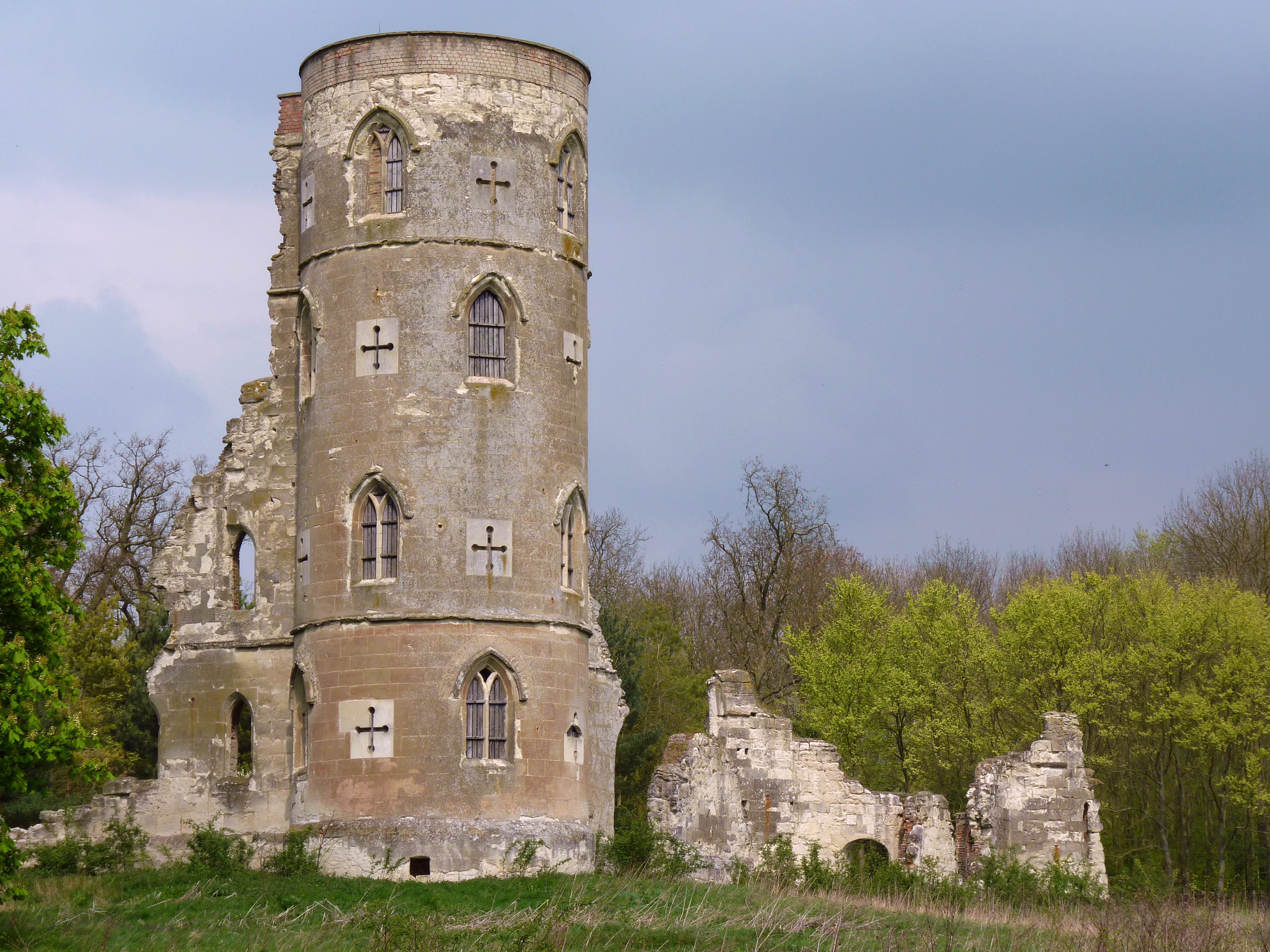
Wimpole's Folly
Wimpole's Folly is a folly ruin located in the grounds of Wimpole Hall, in the parish of Wimpole, in Cambridgeshire, England.The folly is designed to resemble...
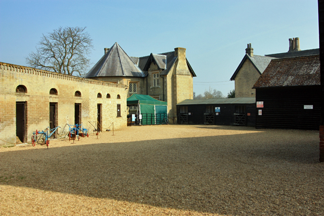
Wimpole Home Farm
Wimpole Home Farm is an 18th-century model farm on the Wimpole Estate, Arrington, Royston, in South Cambridgeshire, England, and operated by the National...

Croydon, Cambridgeshire
Croydon is a small village and civil parish in South Cambridgeshire, England. It is 10 miles (16 km) south-west of Cambridge and immediately west of the...
Clopton, Cambridgeshire
Clopton is a deserted medieval village (DMV), about 1 mile (1.6 km) south west of the village of Croydon, Cambridgeshire, that once stood on a prominent...

Kingston Wood and Outliers
Kingston Wood and Outliers is a 47.4-hectare (117-acre) biological Site of Special Scientific Interest south-west of Kingston in Cambridgeshire. The site...
Nearby Amenities
Located within 500m of 52.140451,-0.063718029Have you been to Limekiln Plantation?
Leave your review of Limekiln Plantation below (or comments, questions and feedback).