Lodge Wood
Wood, Forest in Sussex Mid Sussex
England
Lodge Wood

Lodge Wood is a picturesque forest located in Sussex, England. Spanning over a vast area, it is renowned for its natural beauty and diverse wildlife. The wood is predominantly comprised of oak trees, with their towering trunks and sprawling branches creating a dense canopy overhead. The forest floor is covered with a thick layer of fallen leaves, adding to the enchanting atmosphere.
Lodge Wood is home to a wide range of flora and fauna. It provides a habitat for various bird species, including the great spotted woodpecker, tawny owl, and long-tailed tit. Visitors may also catch glimpses of deer, badgers, and foxes roaming through the undergrowth. The forest is a haven for nature enthusiasts and birdwatchers, who can enjoy observing the wildlife in its natural habitat.
There are several walking trails within Lodge Wood, allowing visitors to explore its beauty at their own pace. The paths wind through the trees, offering stunning views of the surrounding landscape. Along the way, there are informative signboards providing details about the flora and fauna found in the forest.
Lodge Wood is a popular destination for families and individuals seeking tranquility and a connection with nature. It offers a peaceful retreat from the hustle and bustle of everyday life, where visitors can immerse themselves in the serene surroundings. Whether for a leisurely stroll or a more immersive nature experience, Lodge Wood is a true gem in the heart of Sussex.
If you have any feedback on the listing, please let us know in the comments section below.
Lodge Wood Images
Images are sourced within 2km of 51.104773/-0.10711352 or Grid Reference TQ3235. Thanks to Geograph Open Source API. All images are credited.


Lodge Wood is located at Grid Ref: TQ3235 (Lat: 51.104773, Lng: -0.10711352)
Administrative County: West Sussex
District: Mid Sussex
Police Authority: Sussex
What 3 Words
///connector.sung.mess. Near Crawley Down, West Sussex
Nearby Locations
Related Wikis
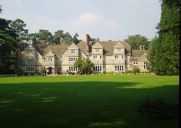
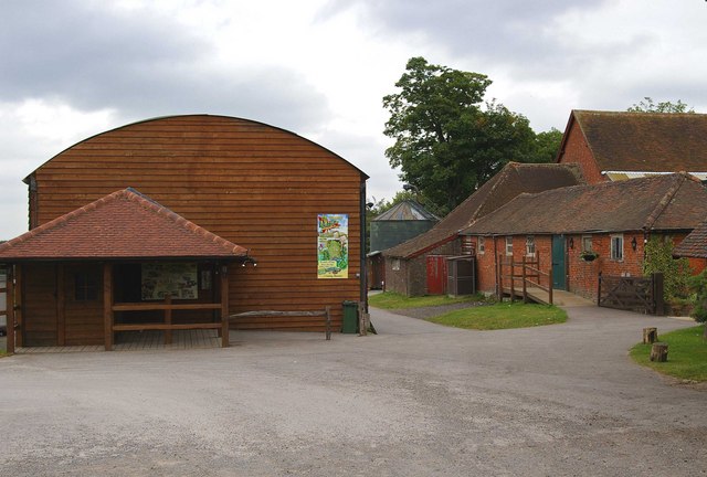
Tulleys Farm
Tulleys Farm is a fourth-generation family farm, located in West Sussex. Originating in 1937, the farming business at Tulleys was founded by Bernard Beare...

Rowfant railway station
Rowfant was a railway station on the Three Bridges to Tunbridge Wells Central Line in the parish of Worth, West Sussex. The line closed in 1967, a casualty...
Turners Hill SSSI
Turners Hill SSSI is a 0.2-hectare (0.49-acre) geological Site of Special Scientific Interest in Turners Hill in West Sussex. It is a Geological Conservation...

Burgess Hill East (electoral division)
Burgess Hill East is an electoral division of West Sussex in the United Kingdom, and returns one member to sit on West Sussex County Council. == Extent... ==

Turners Hill
Turners Hill is a village and civil parish in the Mid Sussex District of West Sussex, England. The civil parish covers an area of 1,390 hectares (3,400...
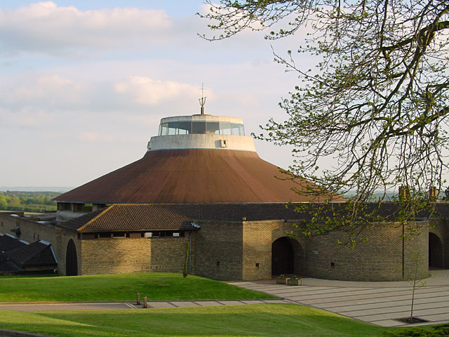
Worth Abbey
The Abbey of Our Lady, Help of Christians, commonly known as Worth Abbey, is a community of Roman Catholic monks who follow the Rule of St Benedict near...

Worth School
Worth School is a private co-educational Roman Catholic boarding and day school for pupils from 11 to 18 years of age near Worth, West Sussex, England...

Worth Way
The Worth Way is a 7-mile (11 km) footpath and bridleway linking the West Sussex towns of Crawley and East Grinstead via the village of Crawley Down. Mostly...
Nearby Amenities
Located within 500m of 51.104773,-0.10711352Have you been to Lodge Wood?
Leave your review of Lodge Wood below (or comments, questions and feedback).