Arram
Settlement in Yorkshire
England
Arram

Arram is a small village located in the East Riding of Yorkshire, England. Situated approximately 9 miles north-east of the market town of Beverley, Arram is known for its peaceful and picturesque setting. The village is surrounded by rolling countryside, offering stunning views and a tranquil atmosphere.
Arram is home to a tight-knit community, with a population of around 400 residents. The village has a rich history, dating back to medieval times. It is mentioned in the Domesday Book and has seen various developments over the centuries.
One of the prominent landmarks in Arram is the St. Mary's Church, a Grade II listed building that dates back to the 14th century. The church features beautiful architecture and serves as a place of worship for the local community.
Although Arram is a small village, it offers several amenities to its residents. These include a primary school, a village hall, and a pub, providing a sense of community and gathering place for locals.
The village is well-connected to nearby towns and cities, with easy access to major transport routes. This allows residents to enjoy the peace and tranquility of village life while still having convenient access to urban amenities.
Overall, Arram is a charming village that offers a serene and idyllic setting, making it an attractive place to live for those seeking a quiet and close-knit community in the heart of Yorkshire.
If you have any feedback on the listing, please let us know in the comments section below.
Arram Images
Images are sourced within 2km of 53.883117/-0.419131 or Grid Reference TA0444. Thanks to Geograph Open Source API. All images are credited.


Arram is located at Grid Ref: TA0444 (Lat: 53.883117, Lng: -0.419131)
Division: East Riding
Unitary Authority: East Riding of Yorkshire
Police Authority: Humberside
What 3 Words
///emulated.shares.kept. Near Leconfield, East Yorkshire
Nearby Locations
Related Wikis

Arram
Arram is a small (population 200) farming village in the East Riding of Yorkshire, England. It is situated approximately 3 miles (5 km) north of the market...
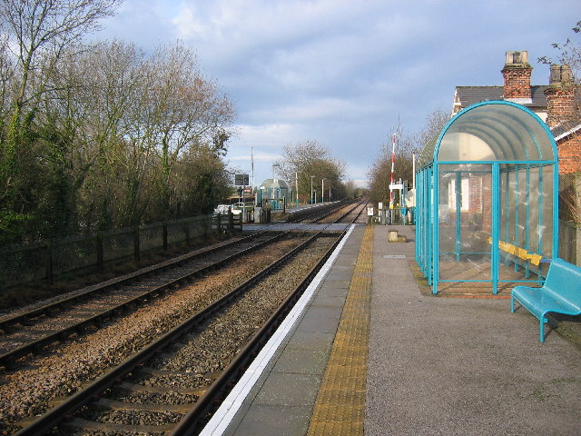
Arram railway station
Arram railway station serves the small village of Arram in the East Riding of Yorkshire, England. It is located on the Yorkshire Coast Line and is operated...
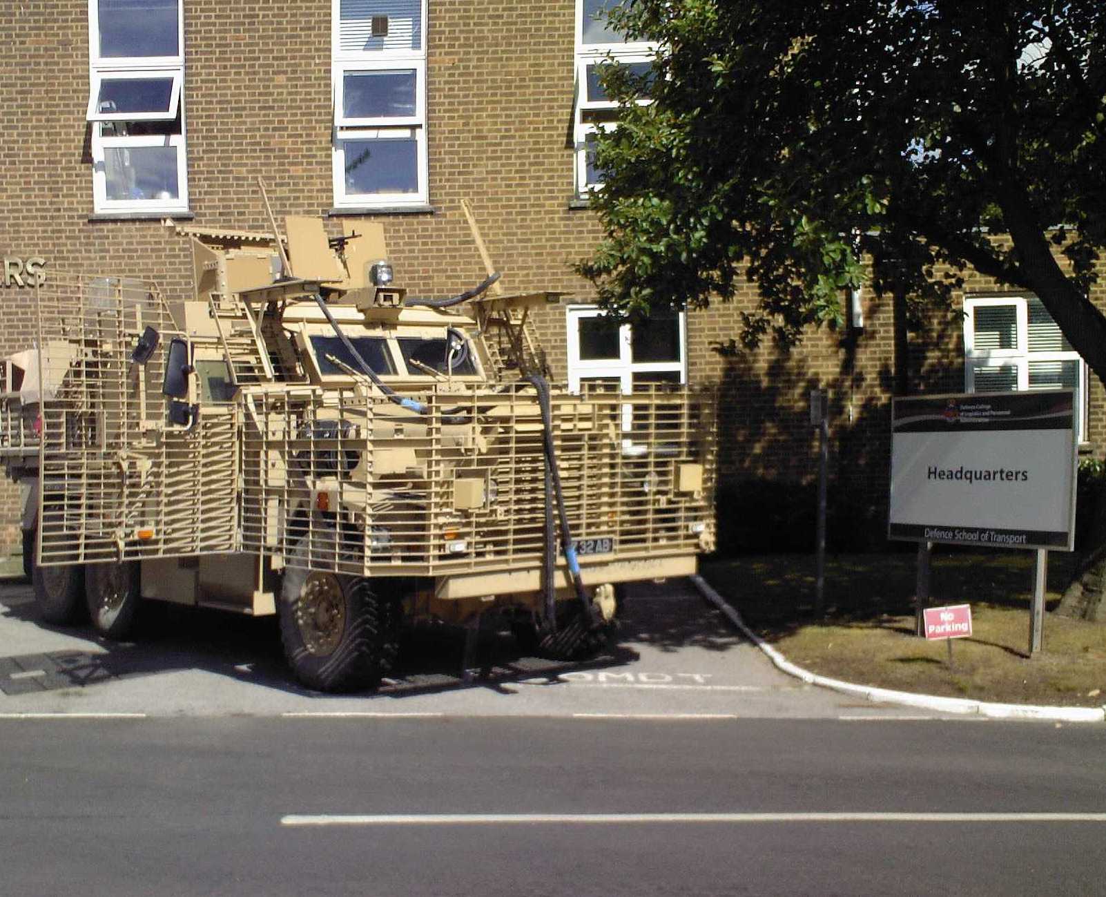
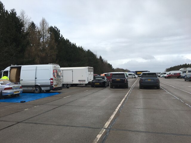
Defence School of Transport
The Defence School of Transport (DST) Leconfield is located at Normandy Barracks, Leconfield near Beverley, East Riding of Yorkshire in England. It is...

RAF Leconfield
Royal Air Force Leconfield or more simply RAF Leconfield is a former Royal Air Force station located in Leconfield (near Beverley), East Riding of Yorkshire...
Nearby Amenities
Located within 500m of 53.883117,-0.419131Have you been to Arram?
Leave your review of Arram below (or comments, questions and feedback).