Arreton

Civil Parish in Hampshire

England

Arreton

Orchard at Merstone Station The former Merstone Station is now a parking area and cycleway access point. The old platform is still intact and beyond it a picnic area has been laid out and some fruit trees have been planted.
Orchard at Merstone Station Credit: Des Blenkinsopp

Arreton is a civil parish located in the county of Hampshire, England. It lies on the Isle of Wight, just a few miles inland from the eastern coast. The parish covers an area of approximately 2.5 square miles and has a population of around 1,000 people.

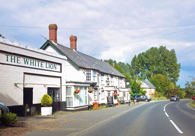
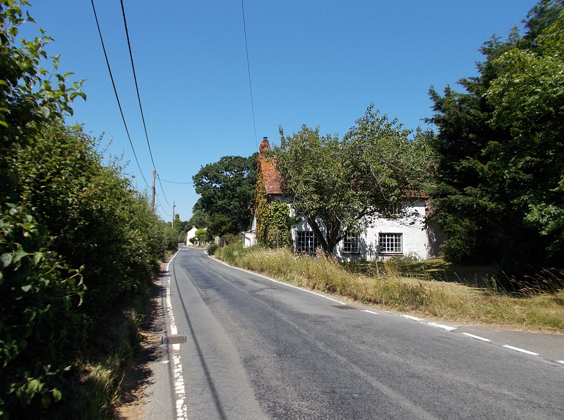
Arreton is a historic village with a rich heritage. It is mentioned in the Domesday Book of 1086, highlighting its long-standing presence in the region. The village is known for its picturesque and traditional appearance, with charming thatched cottages and a quaint village green.

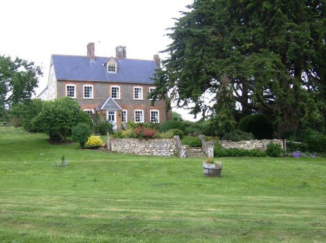
The village is home to several notable landmarks and attractions. The Arreton Manor, a Grade II listed building dating back to the 16th century, is one of the main focal points in the area. It has a fascinating history and is believed to have been a residence of Queen Victoria during her visits to the Isle of Wight.

The village is also famous for its weekly Sunday market, which has been held for over 40 years. The market offers a wide range of local produce, crafts, and antiques, attracting visitors from across the island and beyond.

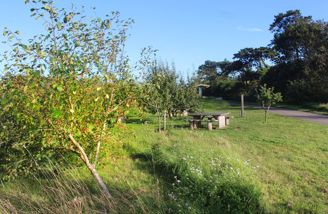
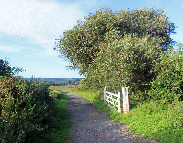
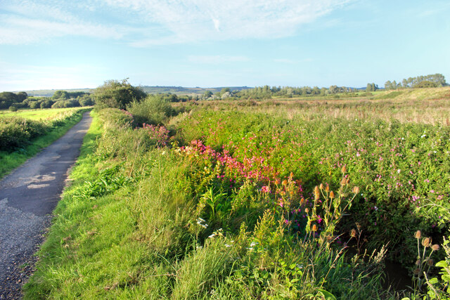
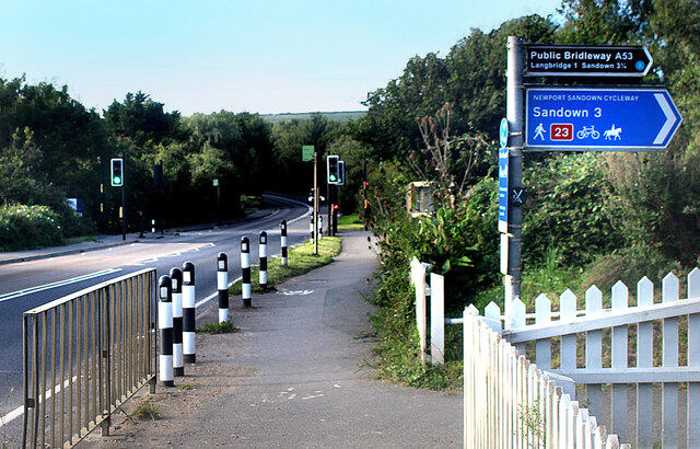
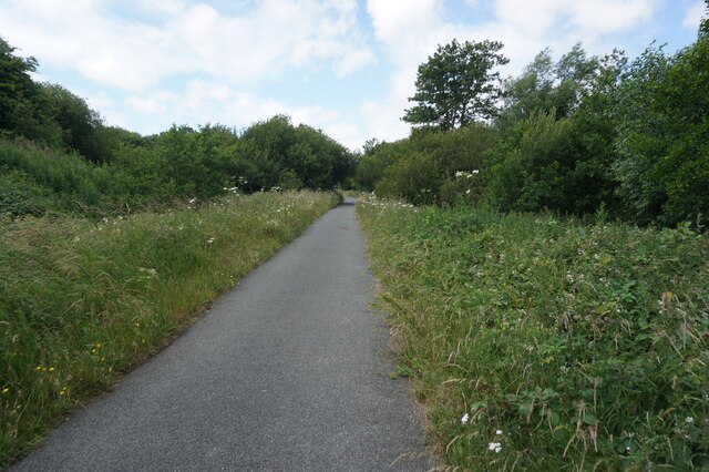
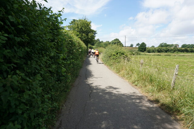
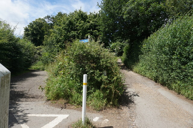
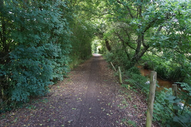
Arreton is surrounded by beautiful countryside, making it a popular destination for outdoor enthusiasts. The area offers plenty of opportunities for walking, cycling, and horse riding, with scenic trails and pathways to explore.

Overall, Arreton is a charming and historic village with a strong community spirit. Its picturesque setting, historic landmarks, and vibrant market make it a popular destination for both residents and visitors alike.

If you have any feedback on the listing, please let us know in the comments section below.

Arreton Images

Images are sourced within 2km of 50.669763/-1.254173 or Grid Reference SZ5285. Thanks to Geograph Open Source API. All images are credited.

Orchard at Merstone Station The former Merstone Station is now a parking area and cycleway access point. The old platform is still intact and beyond it a picnic area has been laid out and some fruit trees have been planted.
Orchard at Merstone Station
The former Merstone Station is now a parking area and cycleway access point. The old platform is still intact and beyond it a picnic area has been laid out and some fruit trees have been planted.
White Gate by the Cycleway A neat white painted wooden gate is beside the cycleway just here.
White Gate by the Cycleway
A neat white painted wooden gate is beside the cycleway just here.
Flowers by the Path A stream flows beside the track along here, down in a deep ditch. Wild flowers grow along the bank beside the old railway line.
Flowers by the Path
A stream flows beside the track along here, down in a deep ditch. Wild flowers grow along the bank beside the old railway line.
Access to the Old Railway An old railway line used to cross the road here. It is now a path and cycleway and a small parking area has been made at the crossing.
Access to the Old Railway
An old railway line used to cross the road here. It is now a path and cycleway and a small parking area has been made at the crossing.
The Rail Track Ends Here For some reason the Environment Agency needs the couple of hundred metres of old railway trackbed between here and the road. The path which has been using it for some time is diverted off to the left.
The Rail Track Ends Here
For some reason the Environment Agency needs the couple of hundred metres of old railway trackbed between here and the road. The path which has been using it for some time is diverted off to the left.
Cycleway Crosses the Road A signal controlled road crossing has been put in where the Newport Sandown Cycleway crosses the A3056.
Cycleway Crosses the Road
A signal controlled road crossing has been put in where the Newport Sandown Cycleway crosses the A3056.
Turf Grown Here Farmland near Merstone.
Turf Grown Here
Farmland near Merstone.
Cycle Rack, Arreton Craft Village Part of a large site where craftspeople make and sell their products in a mixed collection of sheds and barns and new workshops.
Cycle Rack, Arreton Craft Village
Part of a large site where craftspeople make and sell their products in a mixed collection of sheds and barns and new workshops.
The Dairyman's Daughter's Yard Arreton Craft Village incorporates a pub restaurant called The Dairyman's Daughter.
The Dairyman's Daughter's Yard
Arreton Craft Village incorporates a pub restaurant called The Dairyman's Daughter.
The White Lion at Arreton Arreton is a long village with the pub at one end, near the church. The rest of the place straggles along the road for the next kilometre or so, mostly on this side only.
The White Lion at Arreton
Arreton is a long village with the pub at one end, near the church. The rest of the place straggles along the road for the next kilometre or so, mostly on this side only.
Repairs at The Hare & Hounds A bit of work going on at the end.
The pub has lost a lot of foliage since <a href="https://www.geograph.org.uk/photo/5678344">SZ5387 : Hare and Hounds</a> from 12 years ago.
Repairs at The Hare & Hounds
A bit of work going on at the end. The pub has lost a lot of foliage since SZ5387 : Hare and Hounds from 12 years ago.
Stone Farm solar panels, Blackwater
View towards gravel works, St George's Down
Modern Waymarker, Merston, Isle of Wight On the grass verge of Budbridge Lane, outside Little Budbridge Farm. One of 20 designed by sculpture Paul Mason along the path from the source of the Eastern river called Yar and the Sea.

Inscription: logo // 12 // 9

Milestone Society National ID: tbc
Modern Waymarker, Merston, Isle of Wight
On the grass verge of Budbridge Lane, outside Little Budbridge Farm. One of 20 designed by sculpture Paul Mason along the path from the source of the Eastern river called Yar and the Sea. Inscription: logo // 12 // 9 Milestone Society National ID: tbc
Sandown to Newport Cyclepath towards the A3056
Sandown to Newport Cyclepath towards Merstone
Show me another place!

Arreton is located at Grid Ref: SZ5285 (Lat: 50.669763, Lng: -1.254173)

Unitary Authority: Isle of Wight

Police Authority: Hampshire

What 3 Words

///bedroom.argued.decisive. Near Newchurch, Isle of Wight

Nearby Locations

Merstone Arreton

Related Wikis

Merstone Manor

Merston Manor (previously: Merestone) is a manor house in Merstone on the Isle of Wight, England. The manor was first mentioned in the Domesday Book....

Isle of Wight

The Isle of Wight (/waɪt/ WYTE) is an island, English county and unitary authority in the English Channel, 2 to 5 miles (3.2 to 8.0 kilometres) off the...

Arreton

Arreton is a village and civil parish in the central eastern part of the Isle of Wight, England. It is about 3 miles south east of Newport. == Name... ==

Arreton Manor

Arreton Manor is a manor house in Arreton, Isle of Wight, England. Its history is traced to 872 AD to the time of King Alfred the Great and his parents...

Merstone

Merstone is a hamlet on the Isle of Wight. It is home to Merston Manor, built in 1605 in the Jacobean style by Edward Cheeke, and rebuilt in the Victorian...

Great East Standen Manor

Great East Standen Manor is a manor house on the Isle of Wight, England. Its history dates to the Norman Conquest; and it was allegedly once the residence...

St George's Church, Arreton

St George's Church, Arreton, is a parish church in the Church of England located in Arreton, Isle of Wight. == History == The church is medieval and the...
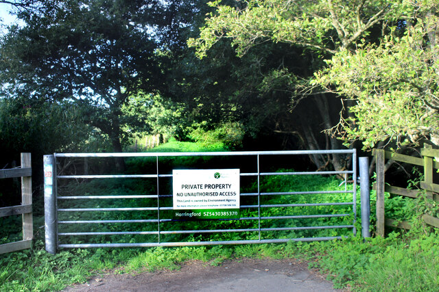
Horringford

Horringford is a settlement on the Isle of Wight, off the south coast of England. It is in the civil parish of Arreton. The hamlet lies on the A3056 road...

Nearby Amenities

Located within 500m of 50.669763,-1.254173
Source: Bing
Lat/Long: 50.6662232/-1.2520261
Bus Stop
Merstone Cross
Bench: no
Bin: no
Bus: yes
Lit: no
Naptan AtcoCode: 230000005760
Naptan Bearing: E
Naptan CommonName: Merstone Cross
Naptan Indicator: towards Robin Hill
Naptan NaptanCode: iowdtgm
Naptan Street: A3056
Public Transport: platform
Shelter: no
Tactile Paving: no
Lat/Long: 50.670883/-1.2545733
Bus Stop
Merstone Cross
Bench: no
Bin: no
Bus: yes
Contact Website: https://www.islandbuses.info/stops/230000005770
Lit: no
Naptan AtcoCode: 230000005770
Naptan Bearing: S
Naptan CommonName: Merstone Cross
Naptan Indicator: towards Ventnor
Naptan NaptanCode: iowdtgp
Naptan Street: Merstone Lane
Public Transport: platform
Shelter: no
Tactile Paving: no
Lat/Long: 50.6704655/-1.2544291
Bus Stop
Merstone North
Bus: yes
Contact Website: https://www.islandbuses.info/stops/230000005780
Naptan AtcoCode: 230000005780
Naptan Bearing: S
Naptan CommonName: Merstone North
Naptan Indicator: towards Ventnor
Naptan NaptanCode: iowdtgt
Naptan Street: Merstone Lane
Naptan Verified: no
Public Transport: platform
Shelter: no
Lat/Long: 50.6660703/-1.2547126
Bus Stop
Merstone North
Bus: yes
Contact Website: https://www.islandbuses.info/stops/230000013730
Naptan AtcoCode: 230000013730
Naptan Bearing: N
Naptan BusStopType: CUS
Naptan CommonName: Merstone North
Naptan Indicator: adj
Naptan NaptanCode: iowmgwj
Naptan Street: Merstone Lane
Naptan Verified: no
Public Transport: platform
Shelter: no
Lat/Long: 50.6660729/-1.2547899
Bus Stop
Merstone Cross
Bench: no
Bin: no
Bus: yes
Contact Website: https://www.islandbuses.info/stops/2300512
Lit: no
Naptan AtcoCode: 2300512
Naptan Bearing: W
Naptan CommonName: Merstone Cross
Naptan Indicator: towards Blackwater
Naptan NaptanCode: iowmjpj
Naptan Street: A3056
Public Transport: platform
Shelter: no
Tactile Paving: no
Lat/Long: 50.6708168/-1.2547787
Barrier: stile
Source: Bing
Lat/Long: 50.6664159/-1.2555878
Power: pole
Source: Bing
Lat/Long: 50.6717751/-1.2571408
Power: pole
Lat/Long: 50.673701/-1.2571944
Power: pole
Source: Bing
Lat/Long: 50.6725927/-1.2571756
Material: wood
Power: pole
Source: Bing
Lat/Long: 50.6707925/-1.2579508
Power: pole
Source: Bing
Lat/Long: 50.6679638/-1.2602655
Power: pole
Source: Bing
Lat/Long: 50.6689192/-1.259485
Power: pole
Source: Bing
Lat/Long: 50.6698253/-1.2587394
Crouchers Cross
Place: locality
Source: OS OpenData StreetView
Lat/Long: 50.6710341/-1.2529989
Barrier: stile
Lat/Long: 50.666344/-1.2548678
Hiking: yes
Information: guidepost
Tourism: information
Lat/Long: 50.6663487/-1.2545872
The data included in this document is from www.openstreetmap.org. The data is made available under ODbL.

Have you been to Arreton?

Leave your review of Arreton below (or comments, questions and feedback).