Arnesby

Civil Parish in Leicestershire Harborough

England

Arnesby

Stream and ridge and furrow near Peatling Magna: aerial 2021 There are some earthworks visible in <a href="https://www.geograph.org.uk/gridref/SP6091">SP6091</a>.

See also <a href="https://www.geograph.org.uk/photo/6948272">SP5992 : Peatling Magna: aerial 2021 (1)</a> and <a href="https://www.geograph.org.uk/photo/6948280">SP5992 : Peatling Magna: aerial 2021 (2)</a>.
Stream and ridge and furrow near Peatling Magna: aerial 2021 Credit: Chris

Arnesby is a civil parish located in the Harborough district of Leicestershire, England. It is a small village situated approximately 7 miles south of the city of Leicester. The parish covers an area of about 4 square miles and has a population of around 400 people.

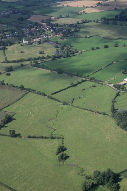
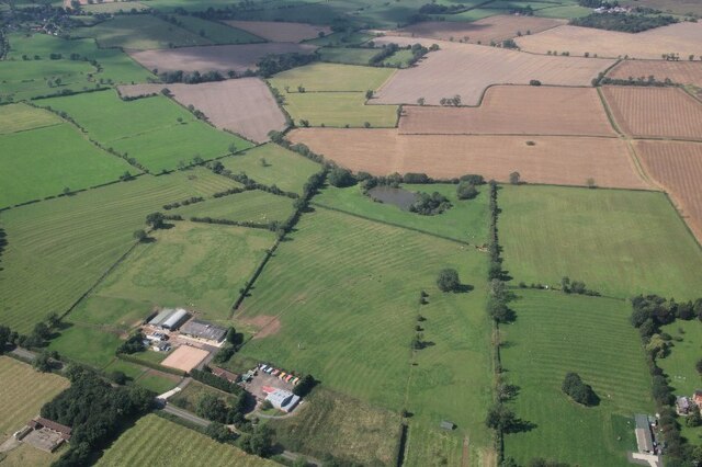
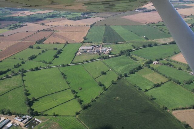
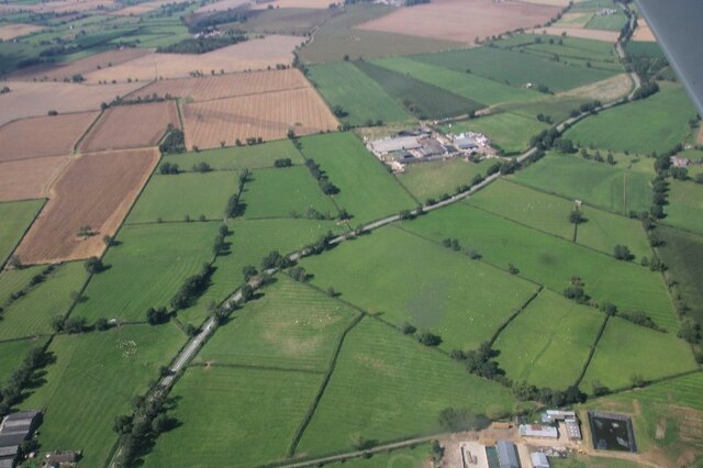
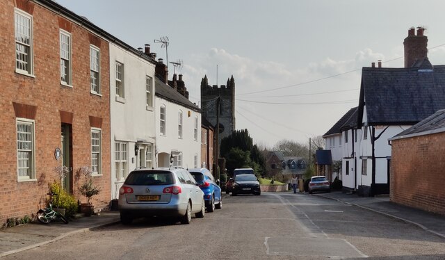
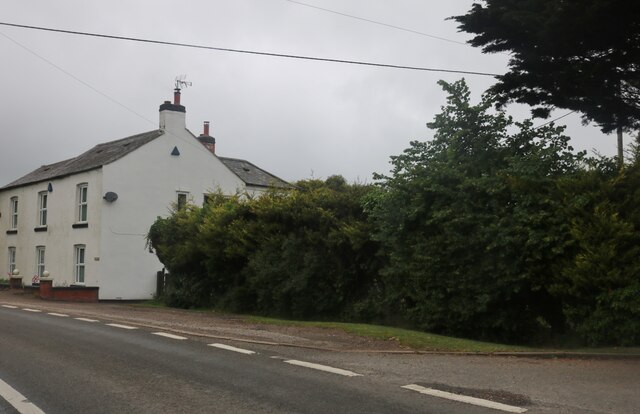
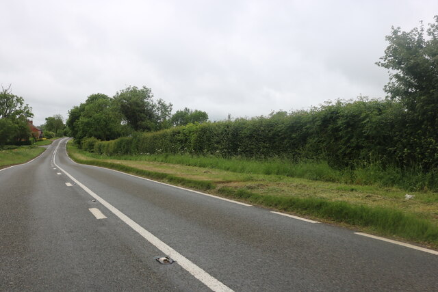
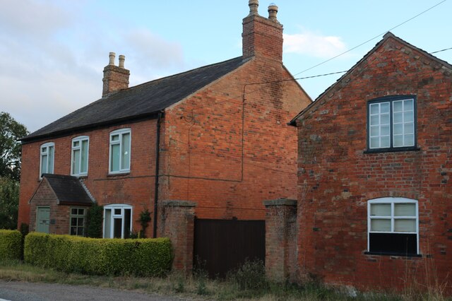
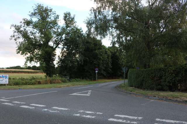
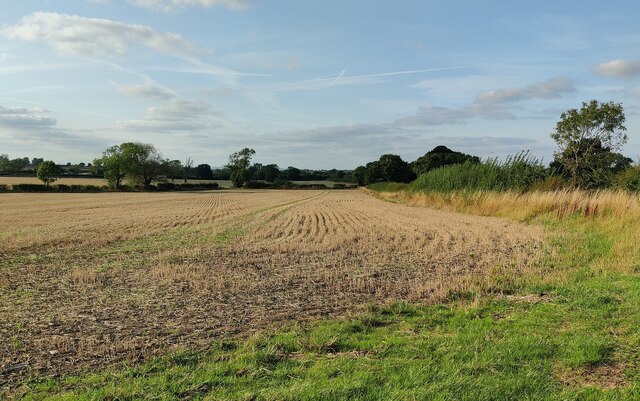
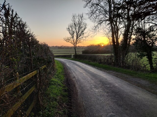
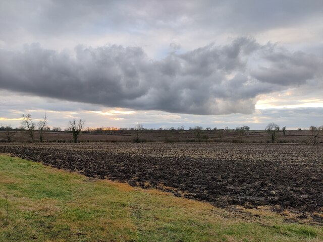
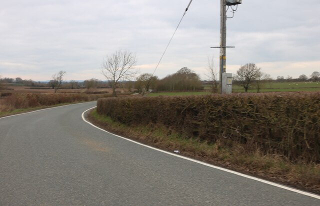
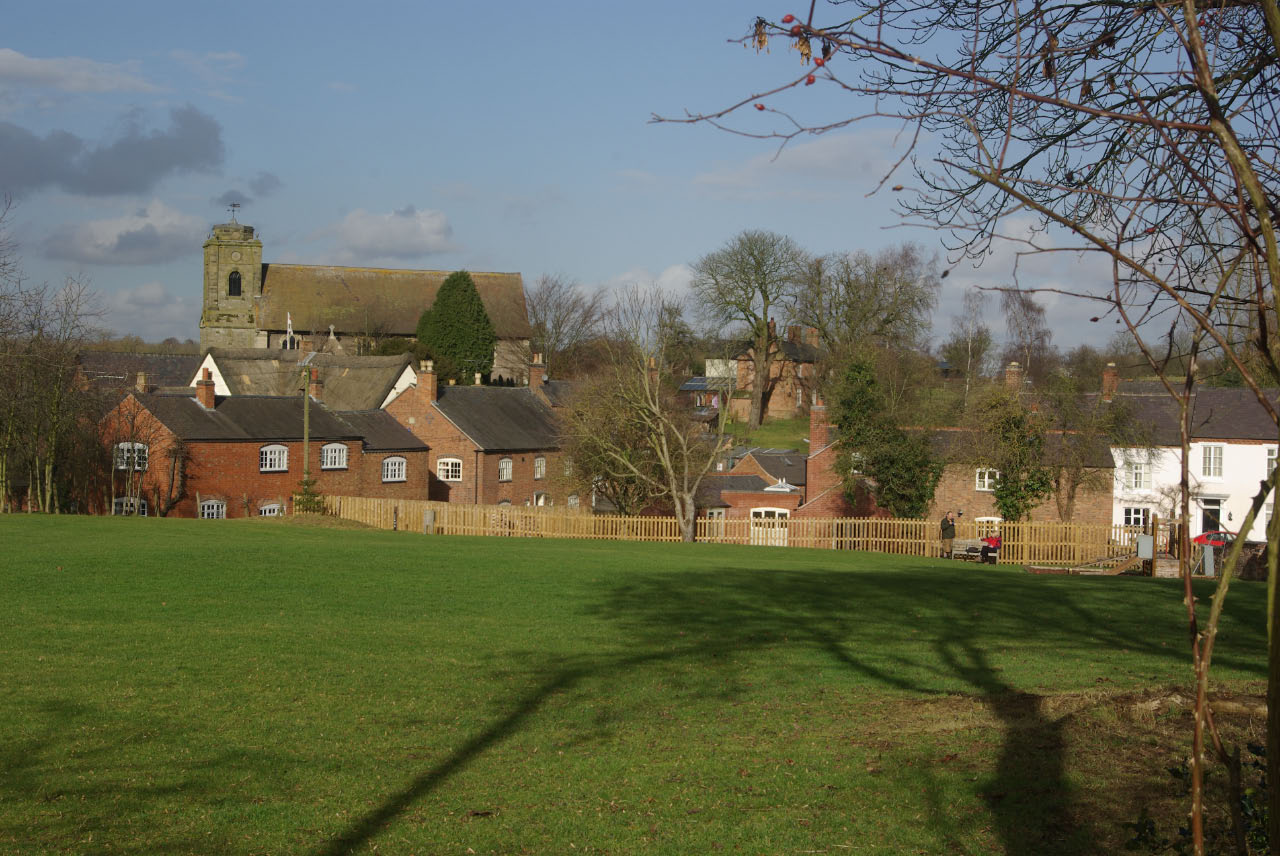
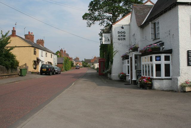
Arnesby is known for its picturesque countryside, with rolling hills, meadows, and farmland surrounding the village. The River Sence flows through the parish, providing a tranquil setting for residents and visitors alike. The village itself is characterized by its charming, traditional English architecture, with many buildings dating back several centuries.

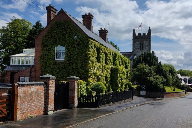
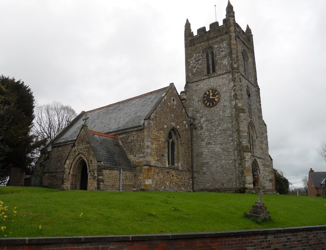
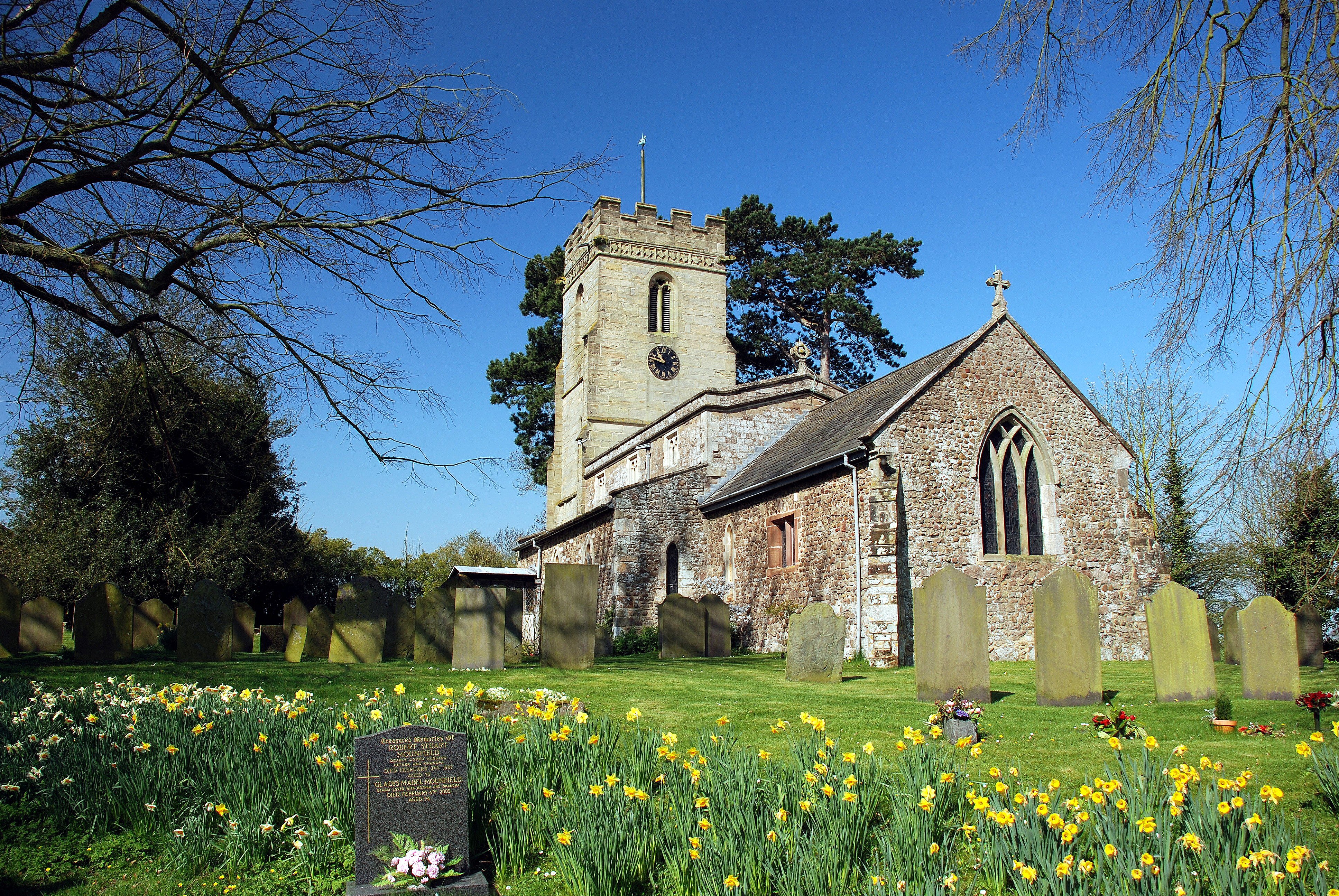
The parish is home to St. Peter's Church, a Grade I listed building that dates back to the 13th century. The church is a significant historical and architectural landmark in the area, attracting visitors interested in its heritage. Arnesby also has a village hall, which serves as a hub for community events and gatherings.

Although small in size, Arnesby has a strong sense of community, with various social and recreational activities taking place throughout the year. The village hosts an annual village fete and other events that bring residents together. There are also several local clubs and organizations, catering to a range of interests, from sports to arts and crafts.

Arnesby benefits from being in close proximity to Leicester, providing residents with easy access to a wider range of amenities and services. The village is well-connected by road, with regular bus services linking it to surrounding towns and villages.

If you have any feedback on the listing, please let us know in the comments section below.
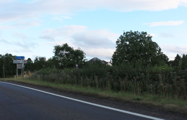
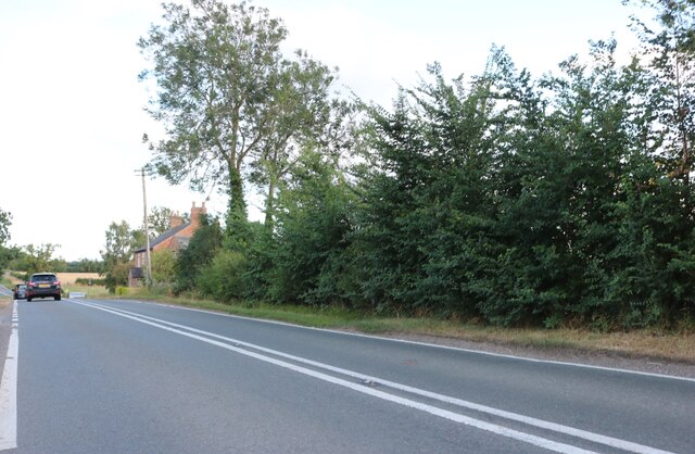
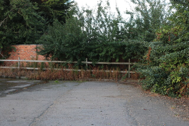
Arnesby Images

Images are sourced within 2km of 52.528027/-1.092049 or Grid Reference SP6192. Thanks to Geograph Open Source API. All images are credited.

Stream and ridge and furrow near Peatling Magna: aerial 2021 There are some earthworks visible in <a href="https://www.geograph.org.uk/gridref/SP6091">SP6091</a>.

See also <a href="https://www.geograph.org.uk/photo/6948272">SP5992 : Peatling Magna: aerial 2021 (1)</a> and <a href="https://www.geograph.org.uk/photo/6948280">SP5992 : Peatling Magna: aerial 2021 (2)</a>.
Stream and ridge and furrow near Peatling Magna: aerial 2021
Fields W of Arnesby: aerial 2021
Fields N of Arnesby: aerial 2021 (2)
Fields N of Arnesby: aerial 2021 (1)
St Peter's Road in Arnesby
The Old Vicarage in Arnesby Along St Peter's Road next to St Peter's Church.
The Old Vicarage in Arnesby
Along St Peter's Road next to St Peter's Church.
Welford Road, Arnesby
Welford Road, Shearsby
Welford Road, Arnesby
Welford Road, Shearsby
The entrance to New Inn Farm, Shearsby Turn left for entry.
The entrance to New Inn Farm, Shearsby
Turn left for entry.
House on Welford Road, Shearsby
Back Lane, Shearsby
Back Lane, Shearsby
Farmland along Fleckney Road
Sunset over Barley Lane
Fleckney Road towards Arnesby
Farmland along Fleckney Road
Fleckney Road, Kilby
Show me another place!

Arnesby is located at Grid Ref: SP6192 (Lat: 52.528027, Lng: -1.092049)

Administrative County: Leicestershire

District: Harborough

Police Authority: Leicestershire

What 3 Words

///massive.ballots.landscape. Near Fleckney, Leicestershire

Nearby Locations

Arnesby Arnesby

Related Wikis

Arnesby

Arnesby is a village and civil parish in the Harborough district of Leicestershire, England. Arnesby contains approximately 142 households with a population...

St Peter's Church, Arnesby

St Peter's Church is a church in Arnesby, Leicestershire. It is a Grade II* listed building. == History == The church consists of a nave, chancel, north...

Shearsby

Shearsby is a rural village in the English county of Leicestershire. Shearsby is in the Harborough district around nine miles due south of Leicester and...

Peatling Magna

Peatling Magna (also once known as “Great Petlyng” and later as “Great Peatling”) is a village in Harborough district, south Leicestershire. The population...

Peatling Parva

Peatling Parva is a village and civil parish in the Harborough district, south Leicestershire, England. It lies 2.6 km west-north-west of Ashby Magna and...

Kilby

Kilby is a village and civil parish in the Blaby district of Leicestershire, England. Kilby is the easternmost village in the district, and is 6.1 miles...

Bruntingthorpe

Bruntingthorpe is a village and civil parish in the Harborough district of Leicestershire, England. According to the census in 2001 the parish had a population...

Knaptoft

Knaptoft is a deserted medieval village and civil parish in the Harborough district of Leicestershire and lies approximately 9.7 miles (15.6 km) south...

Nearby Amenities

Located within 500m of 52.528027,-1.092049
Arnesby
Is In County: Leicestershire
Is In District: Harborough
Place: village
Postal Code: LE8 3
Lat/Long: 52.5252887/-1.0929077
Bus Stop
The Elms
Bus: yes
Naptan AtcoCode: 260017100
Naptan Bearing: N
Naptan CommonName: The Elms
Naptan Indicator: northside of
Naptan Landmark: 'The Elms'
Naptan NaptanCode: leijmamg
Naptan Notes: Non-Hourly - County
Naptan Street: St Peters Road
Naptan Verified: no
Public Transport: platform
Source: naptan_import
Lat/Long: 52.525999/-1.0919834
Gable End
Naptan AtcoCode: 260017101
Naptan Bearing: S
Naptan BusStopType: CUS
Naptan CommonName: Gable End
Naptan Indicator: outside
Naptan Landmark: Gable End
Naptan NaptanCode: leijmamj
Naptan Notes: Non-Hourly - County
Naptan Street: Mill Hill Road
Naptan Verified: no
Source: naptan_import
Lat/Long: 52.5245659/-1.0938554
Bus Stop
Cock Inn PH
Bus: yes
Naptan AtcoCode: 260017102
Naptan Bearing: S
Naptan BusStopType: CUS
Naptan CommonName: Cock Inn PH
Naptan Indicator: outside
Naptan Landmark: Cock Inn Public House
Naptan NaptanCode: leijmamp
Naptan Notes: Non-Hourly - County
Naptan Street: St Peters Road
Naptan Verified: no
Public Transport: platform
Source: naptan_import
Lat/Long: 52.5267762/-1.0913335
Bus Stop
Cock Inn PH
Bus: yes
Naptan AtcoCode: 260017103
Naptan Bearing: N
Naptan BusStopType: CUS
Naptan CommonName: Cock Inn PH
Naptan Indicator: opposite
Naptan Landmark: Cock Inn PH
Naptan NaptanCode: leijmamt
Naptan Notes: Non-Hourly - County
Naptan Street: St Peters Road
Naptan Verified: no
Public Transport: platform
Source: naptan_import
Lat/Long: 52.5268637/-1.0914688
Public Bookcase
The Village Book Exchange
Booth: K6
Disused Amenity: telephone
Man Made: telephone_box
Public Bookcase Type: phone_box
Lat/Long: 52.5267329/-1.0916739
Place: farm
Lat/Long: 52.5292559/-1.0869134
The data included in this document is from www.openstreetmap.org. The data is made available under ODbL.

Have you been to Arnesby?

Leave your review of Arnesby below (or comments, questions and feedback).