Arne
Civil Parish in Dorset Purbeck
England
Arne
![Church of St Martin, Wareham (1) The most complete example of an Anglo-Saxon church in Dorset, a Grade I listed building, and a Scheduled Ancient Monument. [Wikipedia]
<a href="https://www.geograph.org.uk/photo/722210">SY9287 : Church of St Martin, Wareham (2)</a>](https://s2.geograph.org.uk/geophotos/07/07/01/7070154_01acb96f.jpg)
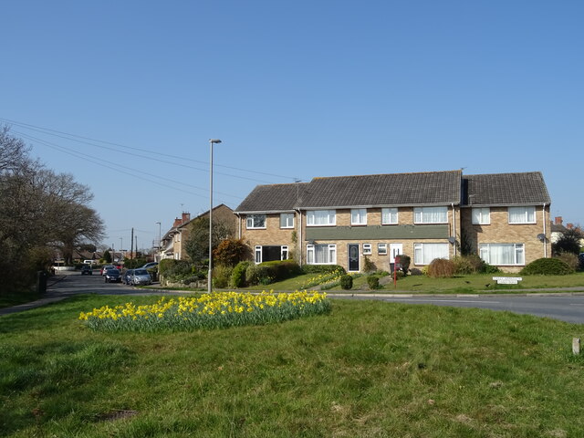
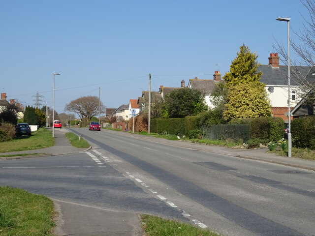
Arne is a civil parish located in the county of Dorset, England. It is situated on the eastern boundary of the Isle of Purbeck, near the town of Wareham. The parish covers an area of approximately 1,800 acres and is home to a small population of around 150 residents.
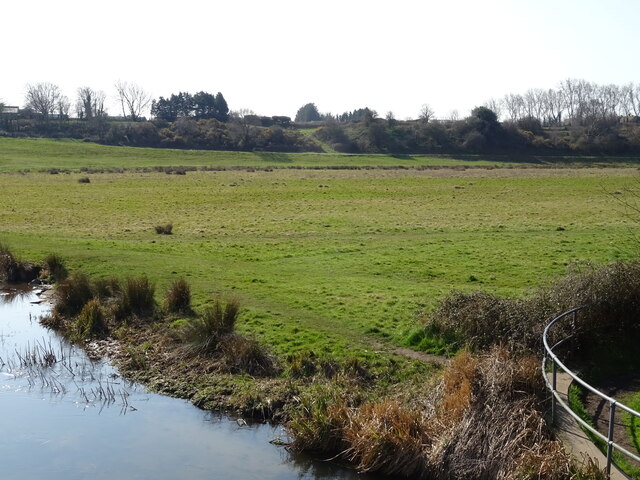
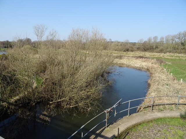
Arne is known for its beautiful natural surroundings, which attract many visitors each year. The area is primarily composed of heathland and woodland, with Arne Heath being a prominent feature. This heathland is a designated Site of Special Scientific Interest (SSSI) and is managed by the Royal Society for the Protection of Birds (RSPB). It is an important habitat for a variety of bird species, including the rare Dartford warbler and nightjar.
In addition to its natural beauty, Arne is also home to a number of historic landmarks. St. Nicholas' Church, dating back to the 12th century, is a notable architectural feature in the parish. The church is built using local Purbeck limestone and features a Norman font and a medieval bell tower.
Despite its small size, Arne has a strong community spirit with various local events and activities taking place throughout the year. The parish also has a primary school, providing education for children in the area.
Overall, Arne offers a peaceful and picturesque setting, making it an ideal place for nature enthusiasts and those seeking a tranquil escape in the heart of Dorset.
If you have any feedback on the listing, please let us know in the comments section below.
Arne Images
Images are sourced within 2km of 50.685448/-2.13875 or Grid Reference SY9087. Thanks to Geograph Open Source API. All images are credited.


Arne is located at Grid Ref: SY9087 (Lat: 50.685448, Lng: -2.13875)
Administrative County: Dorset
District: Purbeck
Police Authority: Dorset
What 3 Words
///glow.rehearsal.blotting. Near Wareham, Dorset
Nearby Locations
Related Wikis

Worgret
Worgret is a hamlet in the English county of Dorset. It is situated immediately to the west of the town of Wareham. Worgret forms part of the civil parish...

Worgret Heath
Worgret Heath SSSI, Dorset (grid reference SY895871) is an 8.4 hectare biological Site of Special Scientific Interest in Dorset, notified in 1987.The site...
The Purbeck School
The Purbeck School is a coeducational secondary school and sixth form located in Wareham in the central southern area of Dorset, England, on the Isle of...
Purbeck miniature railway
Purbeck Miniature Railway was a 7+1⁄4 in (184 mm) gauge miniature railway, located at The Purbeck School near Wareham, Dorset, England. Construction started...
Holme Priory
Holme Priory, also known as East Holne Priory, was a priory in Dorset, England. == 12th century == The priory of Holme, or Holne as it was anciently called...

East Holme
East Holme is a small village and civil parish situated about halfway between Wool and Wareham in Dorset, England. The village is sprawled around a large...

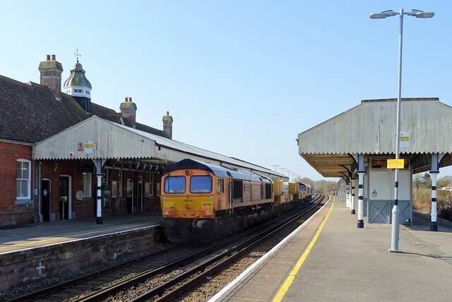
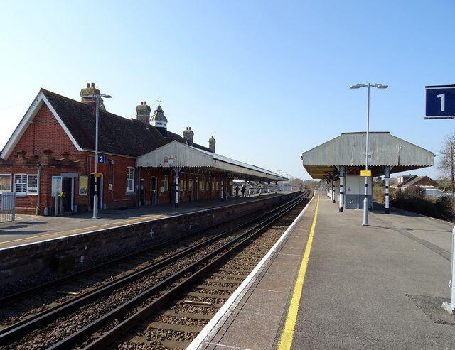
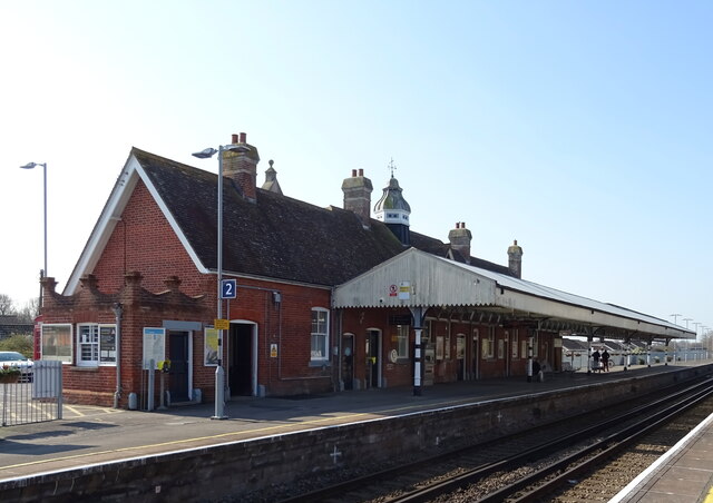
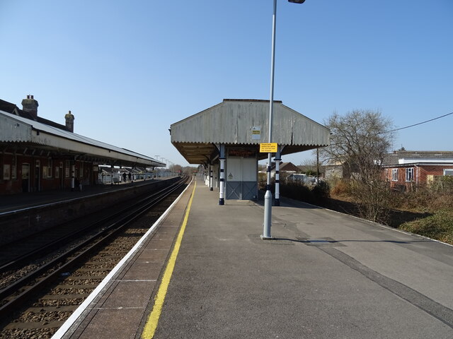
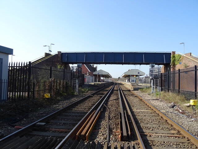
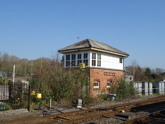
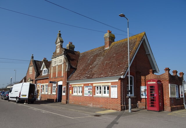
Wareham railway station
Wareham railway station serves the historic market town of Wareham in Dorset, England. It is situated about 0.6 miles (1 km) north of the town centre....

Wareham Castle and town defences
Wareham Castle and the town defences, known locally as the Walls, were fortifications in the town of Wareham in Dorset, England. == 1st-11th century... ==
Nearby Amenities
Located within 500m of 50.685448,-2.13875Have you been to Arne?
Leave your review of Arne below (or comments, questions and feedback).