Arnesby
Settlement in Leicestershire Harborough
England
Arnesby
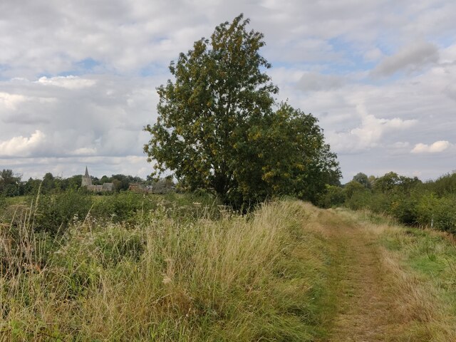
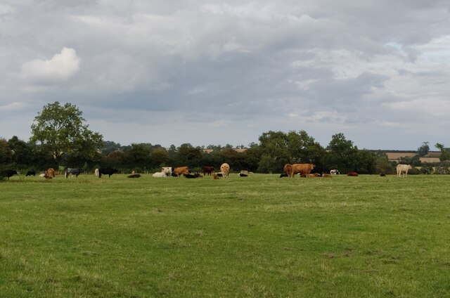
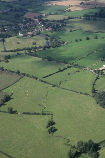
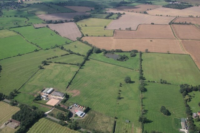
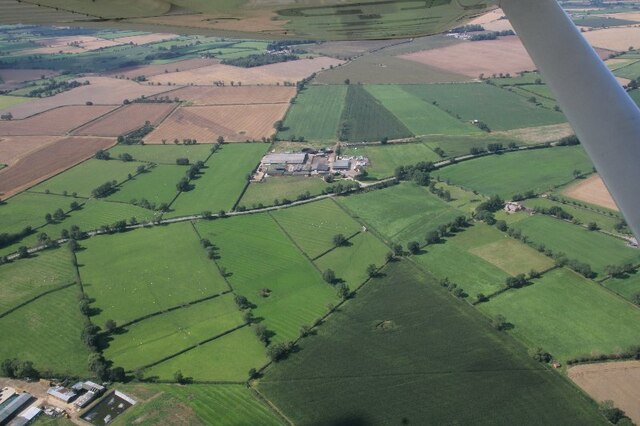
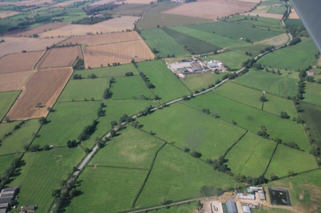
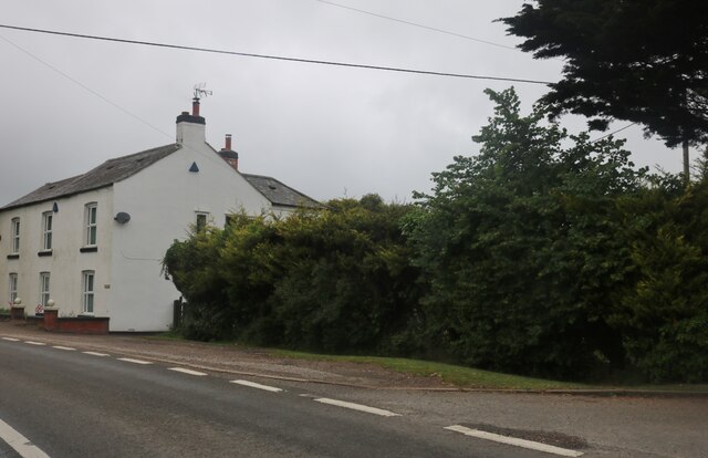
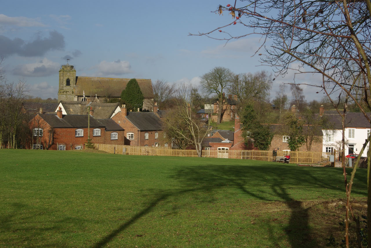
Arnesby is a small village located in the Harborough district of Leicestershire, England. Situated approximately 8 miles southeast of the city of Leicester, it is a quintessential English village surrounded by beautiful countryside and farmland.
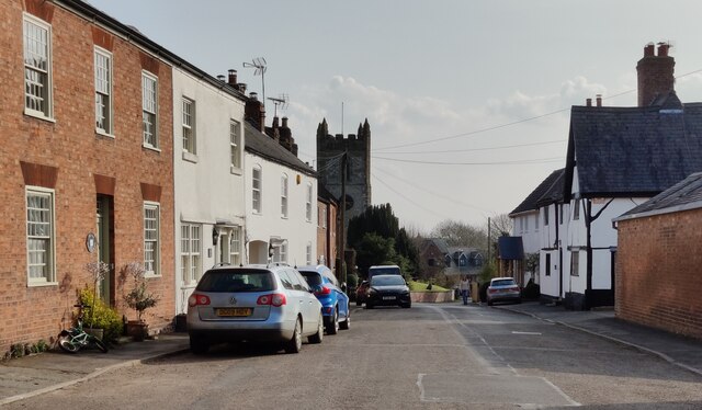
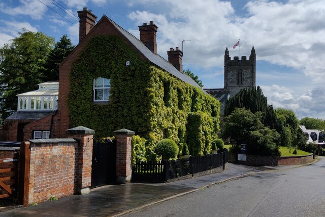
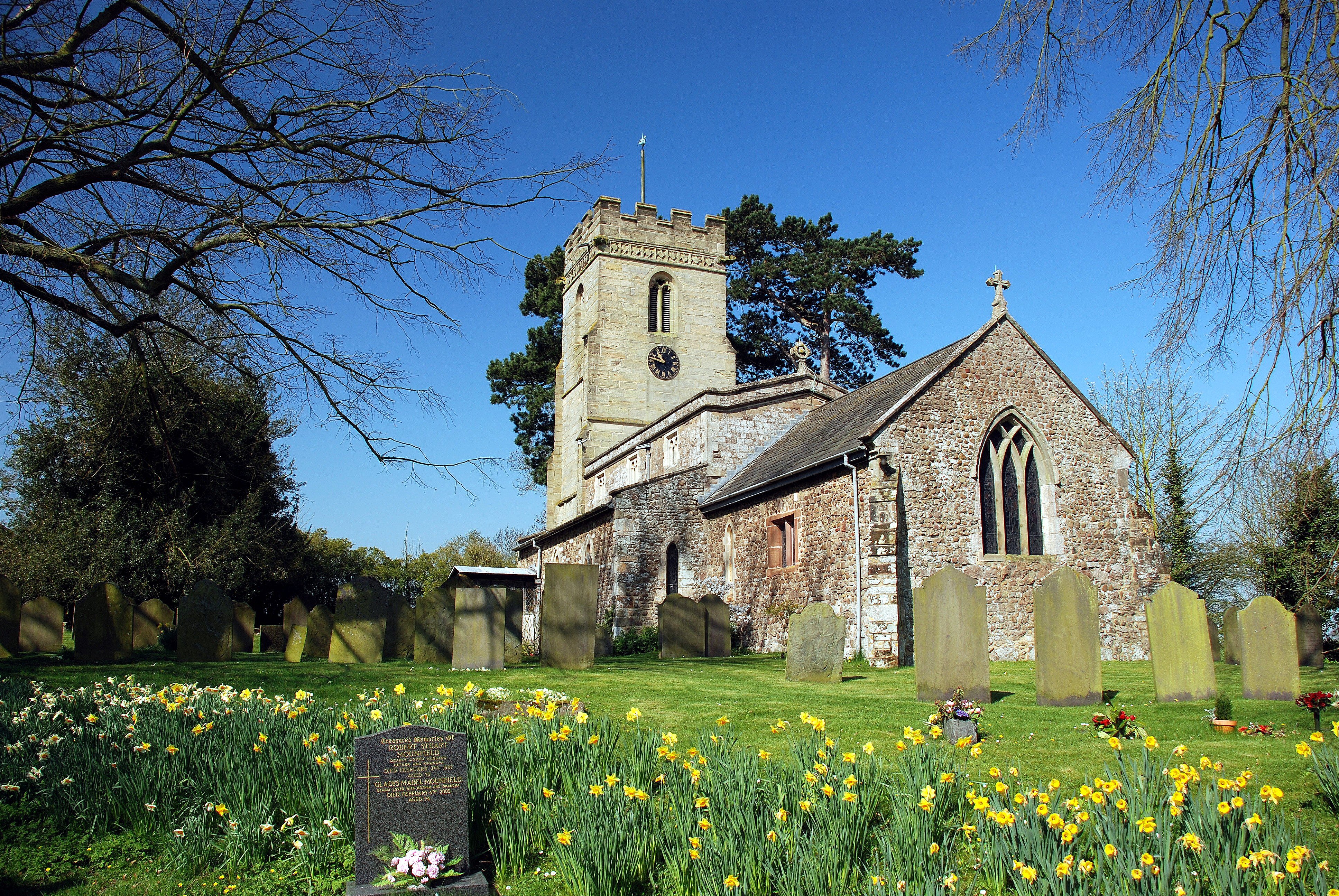
The village itself has a population of around 400 residents. It has a primarily agricultural heritage, with many of its buildings and houses dating back several centuries. Arnesby is home to a 13th-century church, St. Peter's Church, which is a prominent landmark in the area and a testament to its rich history.
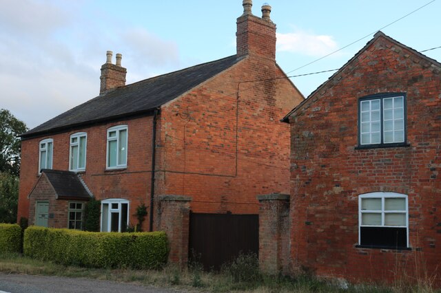
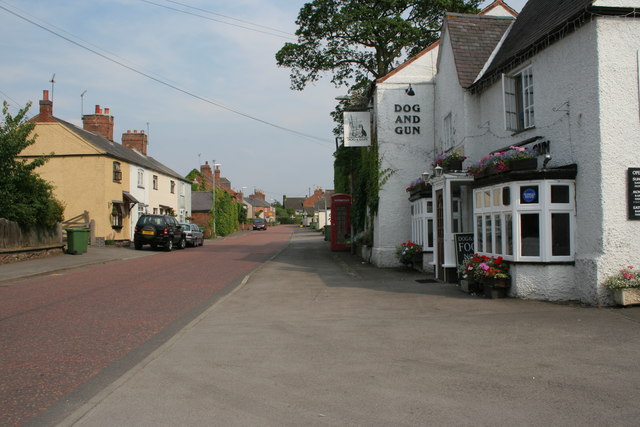
One of the village's notable features is its charming thatched cottages, which add to its traditional and picturesque ambiance. Arnesby also boasts a village pub, The Bull's Head, where locals and visitors can enjoy a drink or a meal.
The community spirit in Arnesby is strong, with several local events and activities taking place throughout the year. The village hall hosts various gatherings, including craft fairs, social events, and community meetings. The Arnesby Horticultural Society organizes an annual flower and produce show, showcasing the talents and skills of the local residents.
Arnesby's location in the heart of the Leicestershire countryside makes it an ideal base for exploring the surrounding area. It offers easy access to nearby attractions such as Foxton Locks, a series of ten canal locks and a popular destination for boating enthusiasts and walkers. The village is also within reach of the beautiful Wistow Rural Centre, which features a maze, garden center, and various independent shops.
In conclusion, Arnesby is a charming and idyllic village in Leicestershire, offering a peaceful and rural lifestyle while providing easy access to nearby amenities and attractions.
If you have any feedback on the listing, please let us know in the comments section below.
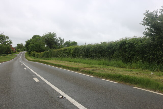
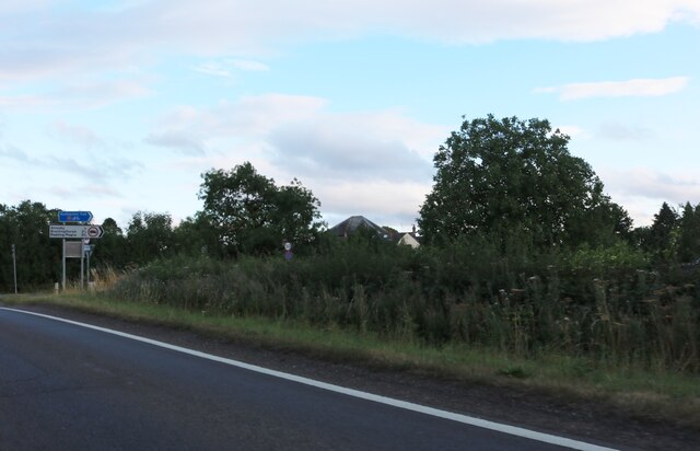
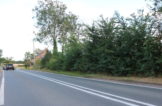
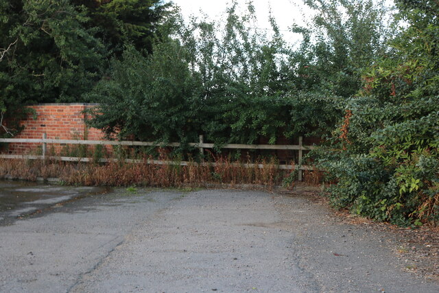
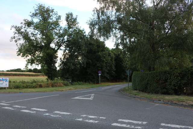
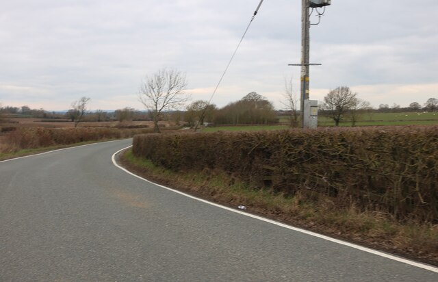
Arnesby Images
Images are sourced within 2km of 52.526383/-1.092201 or Grid Reference SP6192. Thanks to Geograph Open Source API. All images are credited.


Arnesby is located at Grid Ref: SP6192 (Lat: 52.526383, Lng: -1.092201)
Administrative County: Leicestershire
District: Harborough
Police Authority: Leicestershire
What 3 Words
///superhero.fenced.shock. Near Fleckney, Leicestershire
Related Wikis

Arnesby
Arnesby is a village and civil parish in the Harborough district of Leicestershire, England. Arnesby contains approximately 142 households with a population...
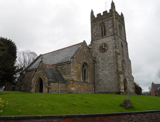
St Peter's Church, Arnesby
St Peter's Church is a church in Arnesby, Leicestershire. It is a Grade II* listed building. == History == The church consists of a nave, chancel, north...
Shearsby
Shearsby is a rural village in the English county of Leicestershire. Shearsby is in the Harborough district around nine miles due south of Leicester and...

Peatling Magna
Peatling Magna (also once known as “Great Petlyng” and later as “Great Peatling”) is a village in Harborough district, south Leicestershire. The population...
Peatling Parva
Peatling Parva is a village and civil parish in the Harborough district, south Leicestershire, England. It lies 2.6 km west-north-west of Ashby Magna and...
Kilby
Kilby is a village and civil parish in the Blaby district of Leicestershire, England. Kilby is the easternmost village in the district, and is 6.1 miles...

Bruntingthorpe
Bruntingthorpe is a village and civil parish in the Harborough district of Leicestershire, England. According to the census in 2001 the parish had a population...

Knaptoft
Knaptoft is a deserted medieval village and civil parish in the Harborough district of Leicestershire and lies approximately 9.7 miles (15.6 km) south...
Nearby Amenities
Located within 500m of 52.526383,-1.092201Have you been to Arnesby?
Leave your review of Arnesby below (or comments, questions and feedback).