Arnisdale
Settlement in Inverness-shire
Scotland
Arnisdale
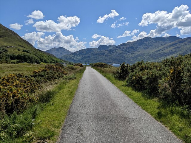
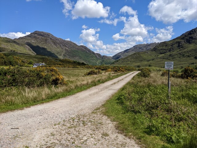
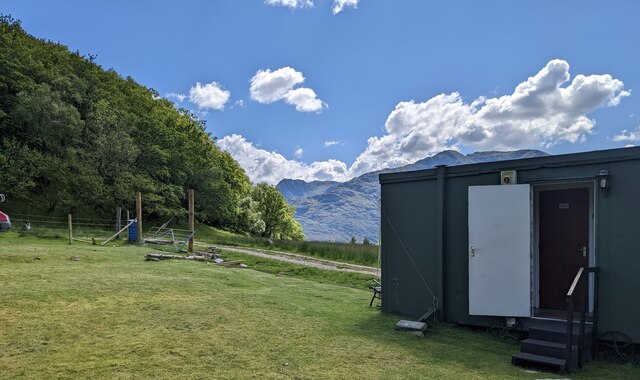
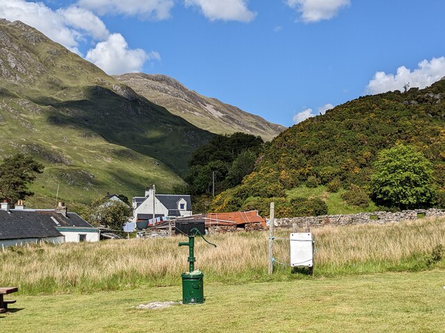
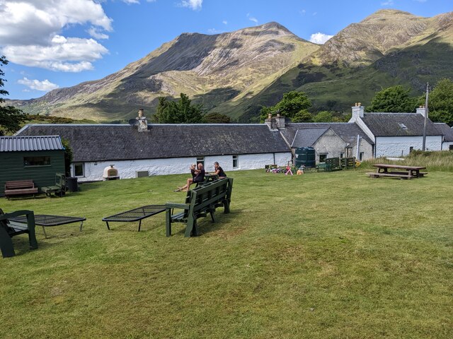
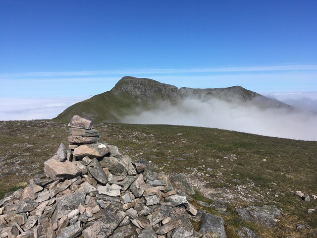
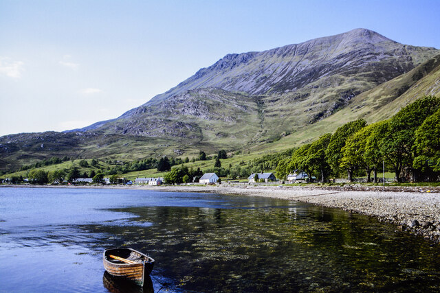
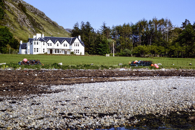
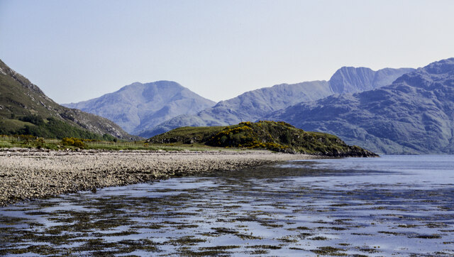
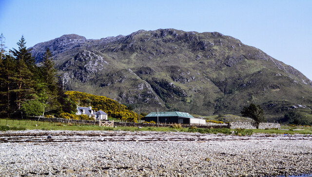
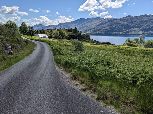
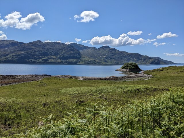
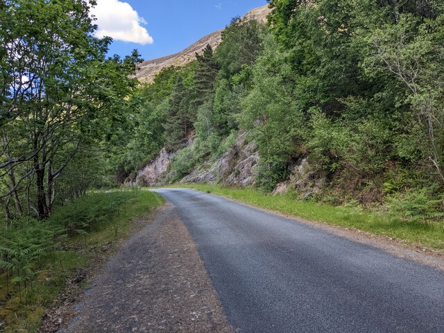
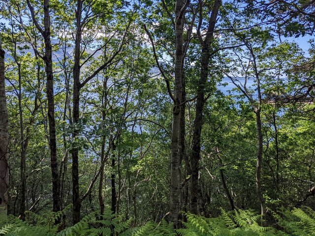
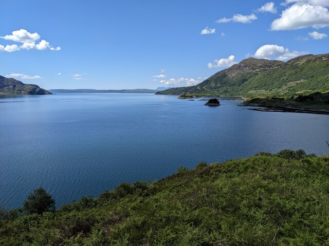
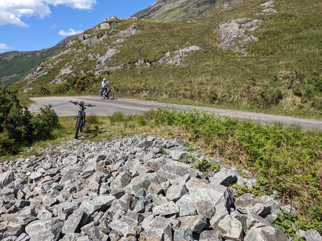
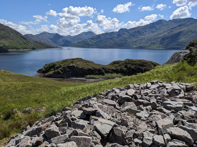
Arnisdale is a small village located in the Scottish Highlands, in the county of Inverness-shire. Situated at the end of a single-track road on the shores of Loch Hourn, Arnisdale is surrounded by stunning natural beauty. The village is part of the Knoydart Peninsula, which is known for its remote and rugged landscape.
Arnisdale is a popular destination for outdoor enthusiasts, with opportunities for hiking, fishing, and wildlife spotting. The village is also home to a small community of residents who value the tranquility and seclusion that Arnisdale offers.
The nearest town to Arnisdale is Inverness, which is approximately a 2-hour drive away. The village can be reached by car or by boat, with a ferry service operating from nearby Mallaig.
Visitors to Arnisdale can enjoy the peaceful atmosphere, picturesque surroundings, and warm hospitality of the local community. The village is a hidden gem in the Scottish Highlands, offering a unique and authentic experience for those looking to escape the hustle and bustle of city life.
If you have any feedback on the listing, please let us know in the comments section below.
Arnisdale Images
Images are sourced within 2km of 57.134542/-5.566075 or Grid Reference NG8410. Thanks to Geograph Open Source API. All images are credited.
Arnisdale is located at Grid Ref: NG8410 (Lat: 57.134542, Lng: -5.566075)
Unitary Authority: Highland
Police Authority: Highlands and Islands
What 3 Words
///whirlpool.clubs.legs. Near Glenelg, Highland
Related Wikis

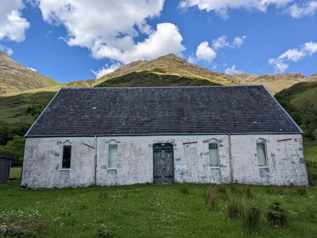
Arnisdale Free Church
Arnisdale Free Church is a church building at one time connected to the Free Church of Scotland. It is sited in Arnisdale, Inverness-shire, Scotland. According...

Arnisdale
Arnisdale (Scottish Gaelic: Àrnasdal) is a hamlet in the historic county of Inverness-shire in the local authority area of Highlands of Scotland. It lies...

Corran, Loch Hourn
Corran (Scottish Gaelic: An Corran) is a hamlet on the northern shore of Loch Hourn, in Lochalsh in Inverness-shire in the Highlands of Scotland. It is...

Loch Hourn
Loch Hourn (Scottish Gaelic: Loch Shubhairne) is a sea loch which separates the peninsulas of Glenelg to the north and Knoydart to the south, on the west...
Nearby Amenities
Located within 500m of 57.134542,-5.566075Have you been to Arnisdale?
Leave your review of Arnisdale below (or comments, questions and feedback).