Anstey

Civil Parish in Hertfordshire East Hertfordshire

England

Anstey

River Quin at Stapleton Bridge Viewed looking downstream the river makes a right-angled turn to the right at the confluence with the two other streams in the distance.
River Quin at Stapleton Bridge Credit: Nigel Cox

Anstey is a small civil parish located in the county of Hertfordshire, England. It is situated within the North Hertfordshire district and is part of the East of England region. The parish covers an area of approximately 3 square miles and has a population of around 200 residents.

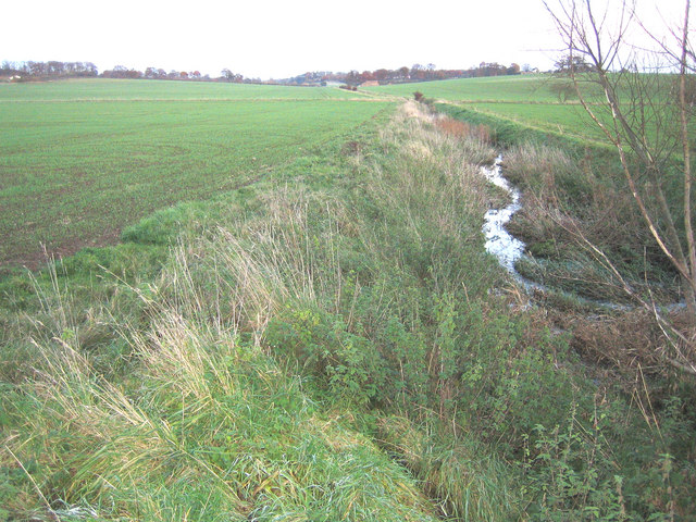
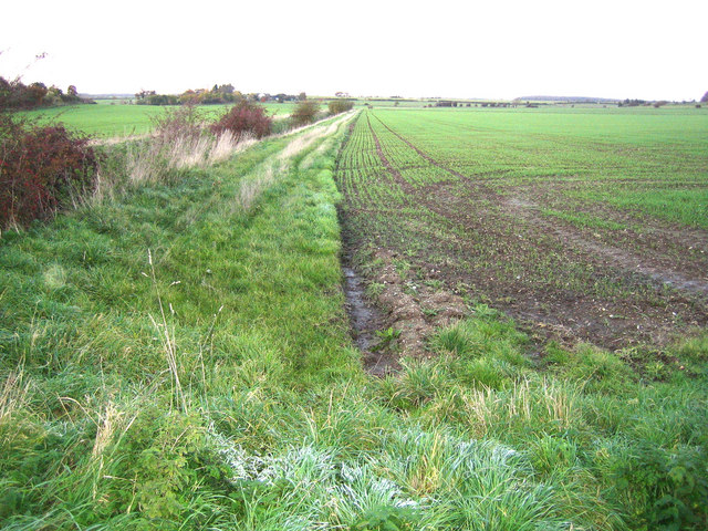
The village of Anstey is surrounded by picturesque countryside, offering stunning views and a tranquil environment. It is characterized by a mix of traditional thatched cottages and more modern housing developments. The parish also includes a number of farms and agricultural land, reflecting its rural nature.

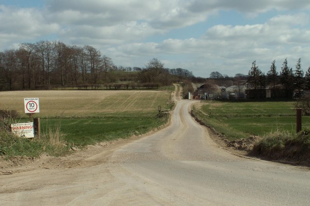
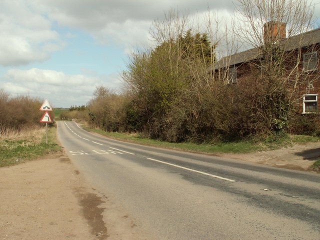
Anstey is well-connected to nearby towns and cities, with the A505 road passing through the parish. This provides easy access to larger urban centers such as Royston and Luton. The village is also served by a local bus service, connecting it to neighboring communities.

In terms of amenities, Anstey has a village hall which serves as a community hub, hosting various events and activities throughout the year. There is also a primary school within the parish, providing education for local children.

The area surrounding Anstey offers numerous opportunities for outdoor activities and exploration. The parish is close to the Chiltern Hills, an Area of Outstanding Natural Beauty, which is perfect for hiking, cycling, and enjoying the countryside. Additionally, nearby attractions include historic sites, such as Knebworth House, and the city of Cambridge is within a short driving distance.

Overall, Anstey is a charming and idyllic village, offering a peaceful and rural lifestyle while still providing easy access to nearby amenities and attractions.

If you have any feedback on the listing, please let us know in the comments section below.
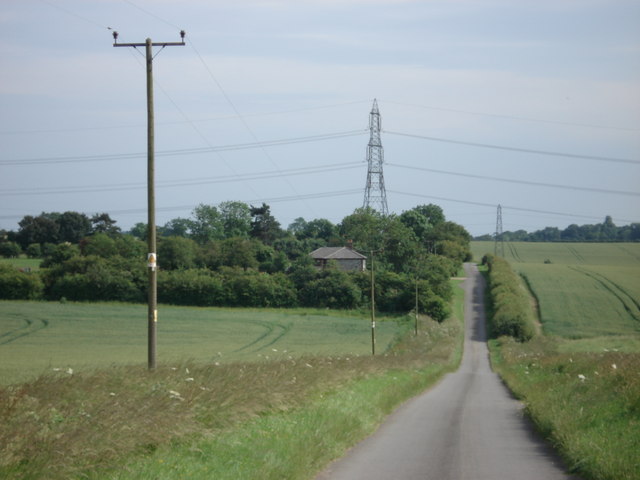
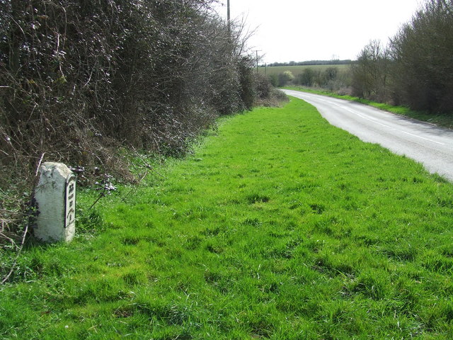
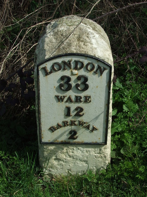
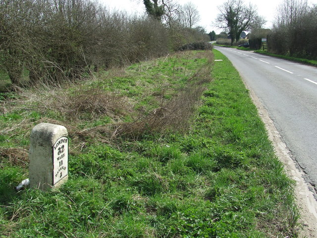
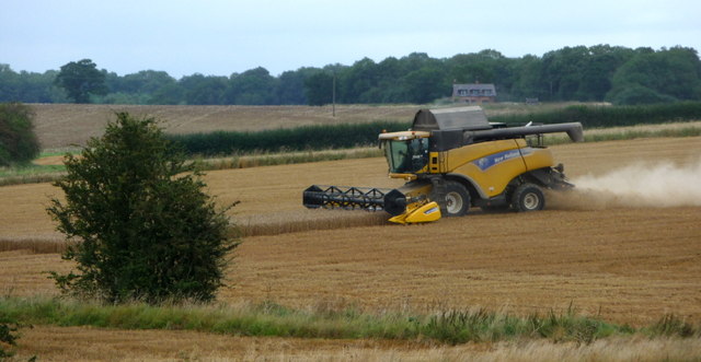
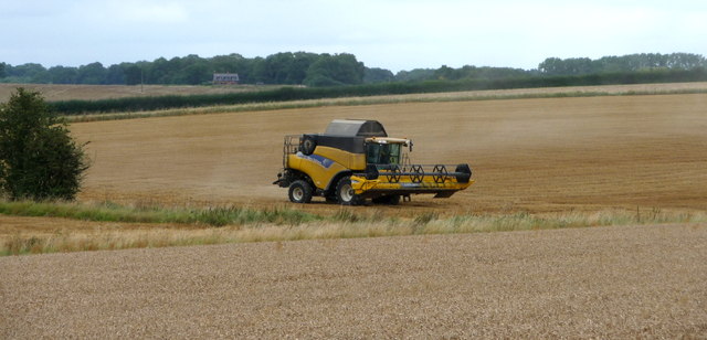
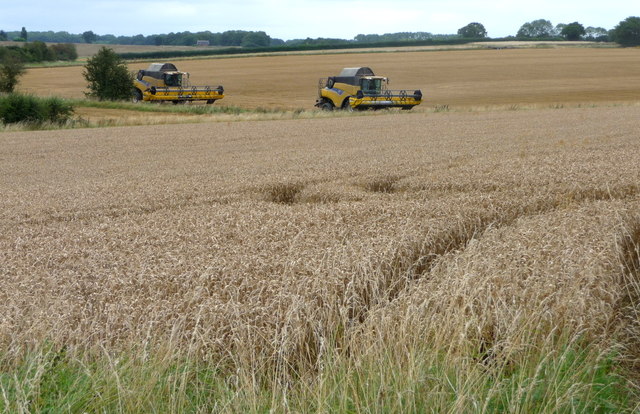
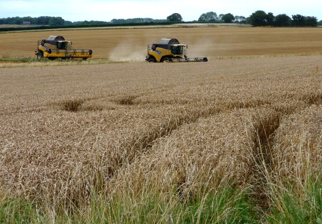
Anstey Images

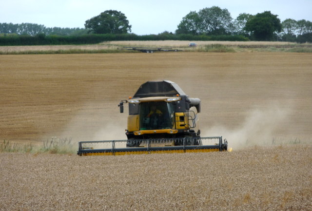
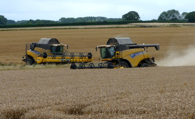
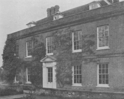
Images are sourced within 2km of 51.973569/0.041332 or Grid Reference TL4032. Thanks to Geograph Open Source API. All images are credited.

River Quin at Stapleton Bridge Viewed looking downstream the river makes a right-angled turn to the right at the confluence with the two other streams in the distance.
River Quin at Stapleton Bridge
Viewed looking downstream the river makes a right-angled turn to the right at the confluence with the two other streams in the distance.
River Quin near Anstey The flat valley of the River Quin as it runs parallel to the B1368 road west of Anstey.
River Quin near Anstey
The flat valley of the River Quin as it runs parallel to the B1368 road west of Anstey.
Footpath and track, leading to a chalk pit
The B.1368 at Biggin Hill
Flint Cottage from Fox Hill
Old Milestone Old milestone on the B1368 near to Anstey, Hertfordshire. For close up view see <a title="https://www.geograph.org.uk/photo/1792660" href="https://www.geograph.org.uk/photo/1792660">Link</a> and for more info see <span class="nowrap"><a title="http://milestones.megalithia.com/sites/tl389326.htm" rel="nofollow ugc noopener" href="http://milestones.megalithia.com/sites/tl389326.htm">Link</a><img style="margin-left:2px;" alt="External link" title="External link - shift click to open in new window" src="https://s1.geograph.org.uk/img/external.png" width="10" height="10"/></span> do look at their home page.
Old Milestone
Old milestone on the B1368 near to Anstey, Hertfordshire. For close up view see Link and for more info see LinkExternal link do look at their home page.
Old Milestone Old milestone on the B1368 near to Anstey, Hertfordshire. For overall view see <a title="https://www.geograph.org.uk/photo/1792654" href="https://www.geograph.org.uk/photo/1792654">Link</a> and for more info see <span class="nowrap"><a title="http://milestones.megalithia.com/sites/tl389326.htm" rel="nofollow ugc noopener" href="http://milestones.megalithia.com/sites/tl389326.htm">Link</a><img style="margin-left:2px;" alt="External link" title="External link - shift click to open in new window" src="https://s1.geograph.org.uk/img/external.png" width="10" height="10"/></span> do look at their home page.
Old Milestone
Old milestone on the B1368 near to Anstey, Hertfordshire. For overall view see Link and for more info see LinkExternal link do look at their home page.
Old Milestone Old milestone on the B1368 near to Great Hormead, Hertfordshire. For close up view see <a title="https://www.geograph.org.uk/photo/1792679" href="https://www.geograph.org.uk/photo/1792679">Link</a> and for more info see <span class="nowrap"><a title="http://milestones.megalithia.com/sites/tl392311.htm" rel="nofollow ugc noopener" href="http://milestones.megalithia.com/sites/tl392311.htm">Link</a><img style="margin-left:2px;" alt="External link" title="External link - shift click to open in new window" src="https://s1.geograph.org.uk/img/external.png" width="10" height="10"/></span> do look at their home page.
Old Milestone
Old milestone on the B1368 near to Great Hormead, Hertfordshire. For close up view see Link and for more info see LinkExternal link do look at their home page.
Old Milestone Old milestone on the B1368 near to Great Hormead, Hertfordshire. For overall view see <a title="https://www.geograph.org.uk/photo/1792677" href="https://www.geograph.org.uk/photo/1792677">Link</a> and for more info see <span class="nowrap"><a title="http://milestones.megalithia.com/sites/tl392311.htm" rel="nofollow ugc noopener" href="http://milestones.megalithia.com/sites/tl392311.htm">Link</a><img style="margin-left:2px;" alt="External link" title="External link - shift click to open in new window" src="https://s1.geograph.org.uk/img/external.png" width="10" height="10"/></span> do look at their home page.
Old Milestone
Old milestone on the B1368 near to Great Hormead, Hertfordshire. For overall view see Link and for more info see LinkExternal link do look at their home page.
Combine Harvester near Anstey, Hertfordshire
Combine Harvesters near Anstey, Hertfordshire
Combine Harvester near Anstey, Hertfordshire
Combine Harvesters near Anstey, Hertfordshire
Combine Harvester near Anstey, Hertfordshire
Combine Harvesters near Anstey, Hertfordshire
Show me another place!

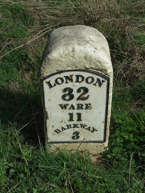
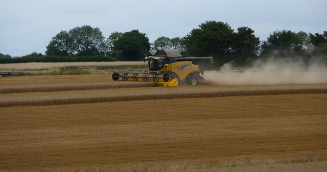
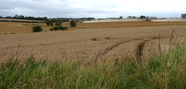
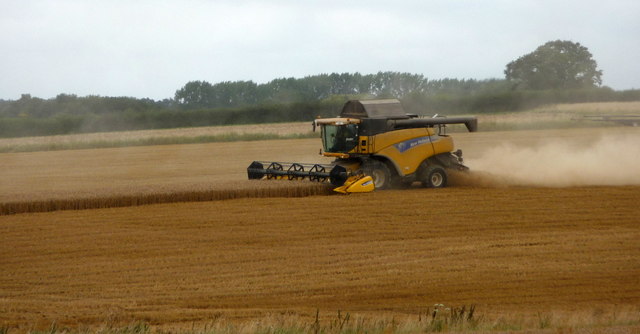
Anstey is located at Grid Ref: TL4032 (Lat: 51.973569, Lng: 0.041332)

Administrative County: Hertfordshire

District: East Hertfordshire

Police Authority: Hertfordshire

What 3 Words

///slimming.depravity.projects. Near Buntingford, Hertfordshire

Related Wikis

Anstey, Hertfordshire

Anstey is a village and civil parish in the East Hertfordshire district of Hertfordshire, England, about 15 miles (24 km) northeast of Stevenage. According...

Anstey Castle

Anstey Castle was in the village of Anstey, Hertfordshire. It was a 12th-century stone motte and bailey fortress that, according to tradition, was founded...

Nuthampstead

Nuthampstead is a small village and civil parish in North East Hertfordshire located a few miles south of the town of Royston. In the 2001 census the parish...

Hormead

Hormead is a civil parish in Hertfordshire, England. It comprises the villages of Great Hormead and Little Hormead and the hamlet of Hare Street and lies...

Hare Street House

Hare Street House is a Grade II* listed building in the hamlet of Hare Street that lies between Buntingford and Great Hormead in the East Hertfordshire...

Brent Pelham Windmill

Brent Pelham Windmill is a Grade II listed smock mill at Brent Pelham, Hertfordshire, England which is derelict. == History == Brent Pelham Mill was built...

Barkway

Barkway is a long-established village and civil parish in the North Hertfordshire district of Hertfordshire, England, about five miles south-east of...

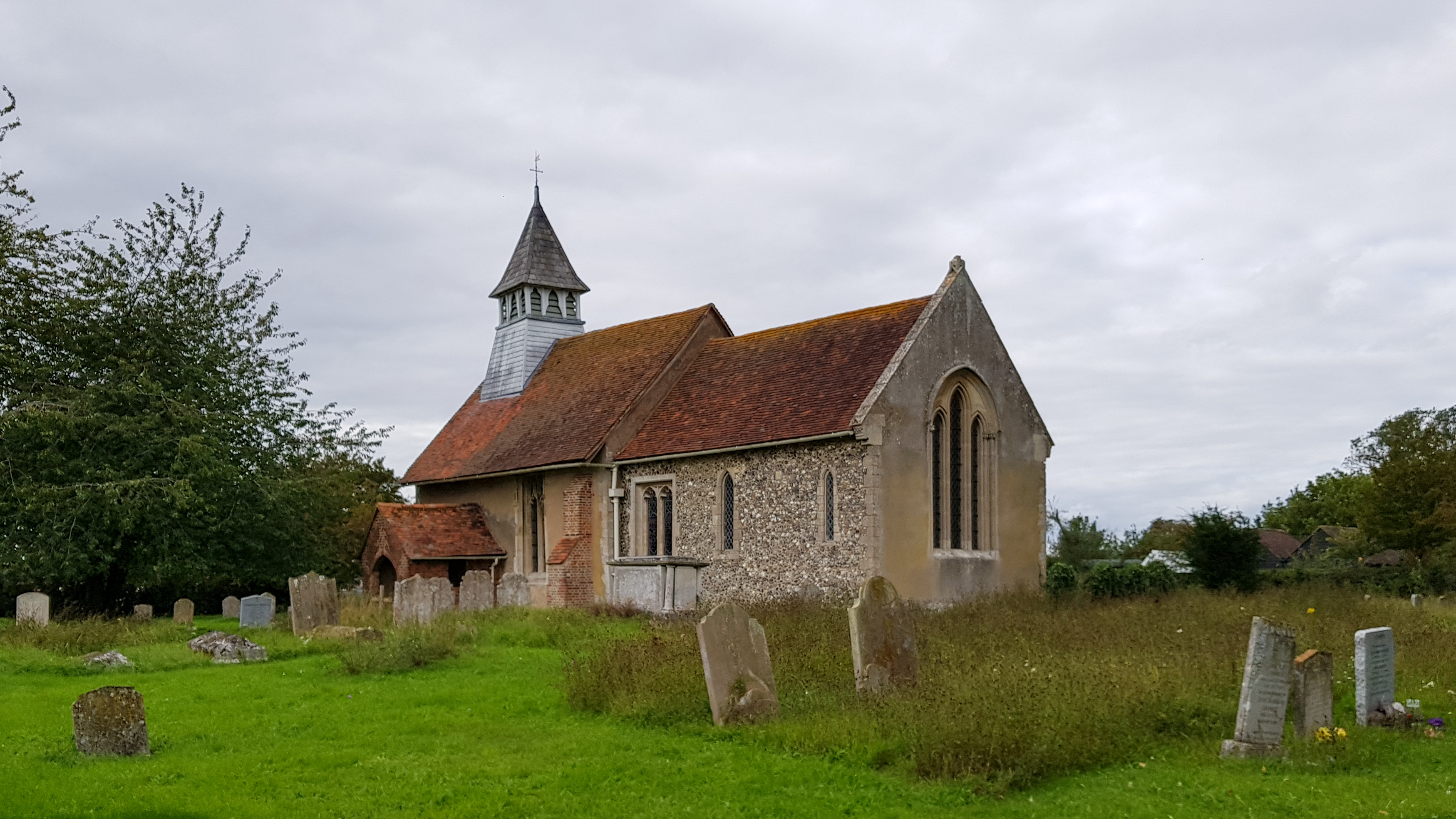
St Mary's Church, Little Hormead

St Mary's Church is a redundant Anglican church in the village of Little Hormead, Hertfordshire, England. It is recorded in the National Heritage List...

Nearby Amenities

Located within 500m of 51.973569,0.041332
Anstey
Created By: POI Editor
Place: village
Source: npe
Lat/Long: 51.9751909/0.0428101
New Barns Turn
Naptan AtcoCode: 210021310116
Naptan Bearing: SW
Naptan BusStopType: CUS
Naptan CommonName: New Barns Turn
Naptan Crossing: New Barns Turn
Naptan Indicator: adj
Naptan Landmark: New Barns Turn
Naptan NaptanCode: hrtdpgam
Naptan ShortCommonName: NA
Naptan Street: Lincoln Hill
Naptan Verified: no
Public Transport: platform
Source: naptan_import
Lat/Long: 51.9717311/0.0347822
Barrier: kissing_gate
Foot: yes
Source: GPS
Lat/Long: 51.9777805/0.0423927
Bench
Backrest: no
Lat/Long: 51.9747155/0.0431846
Bench
Backrest: yes
Lat/Long: 51.9763626/0.0433574
Bench
Backrest: yes
Lat/Long: 51.9770455/0.0446262
Barrier: entrance
Lat/Long: 51.9721036/0.0466694
Barrier: kissing_gate
Lat/Long: 51.9745828/0.0424754
Playground: swing
Lat/Long: 51.9748107/0.0432127
Playground: climbingframe
Lat/Long: 51.9748561/0.0433294
Leisure: picnic_table
Lat/Long: 51.9747545/0.0432007
Leisure: picnic_table
Lat/Long: 51.9747421/0.0431578
Advertising: board
Direction: 75
Lat/Long: 51.9759053/0.043422
Snow End
Place: locality
Lat/Long: 51.9735034/0.0414222
Daw's End
Place: locality
Lat/Long: 51.9709687/0.0462985
Lincoln Hill
Place: locality
Lat/Long: 51.9715475/0.035829
The data included in this document is from www.openstreetmap.org. The data is made available under ODbL.

Have you been to Anstey?

Leave your review of Anstey below (or comments, questions and feedback).