Snow End

Settlement in Hertfordshire East Hertfordshire

England

Snow End

River Quin at Stapleton Bridge Viewed looking downstream the river makes a right-angled turn to the right at the confluence with the two other streams in the distance.
River Quin at Stapleton Bridge Credit: Nigel Cox

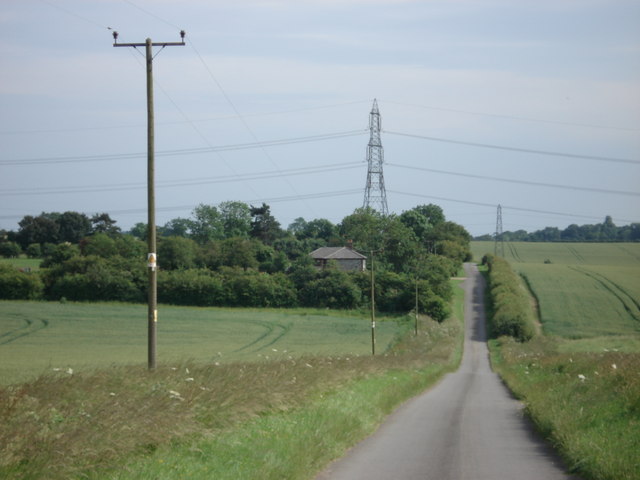
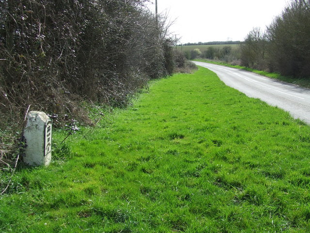
Snow End is a small village located in the county of Hertfordshire, England. Situated in the eastern part of the county, Snow End is nestled in the picturesque countryside, surrounded by lush green fields and rolling hills. The village is known for its tranquil and idyllic setting, making it a popular destination for those seeking a peaceful retreat from the bustling city life.

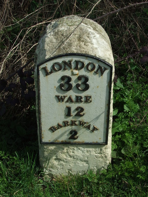
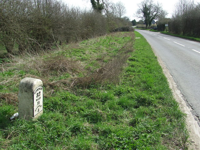
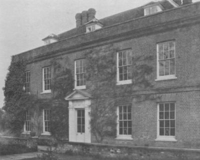
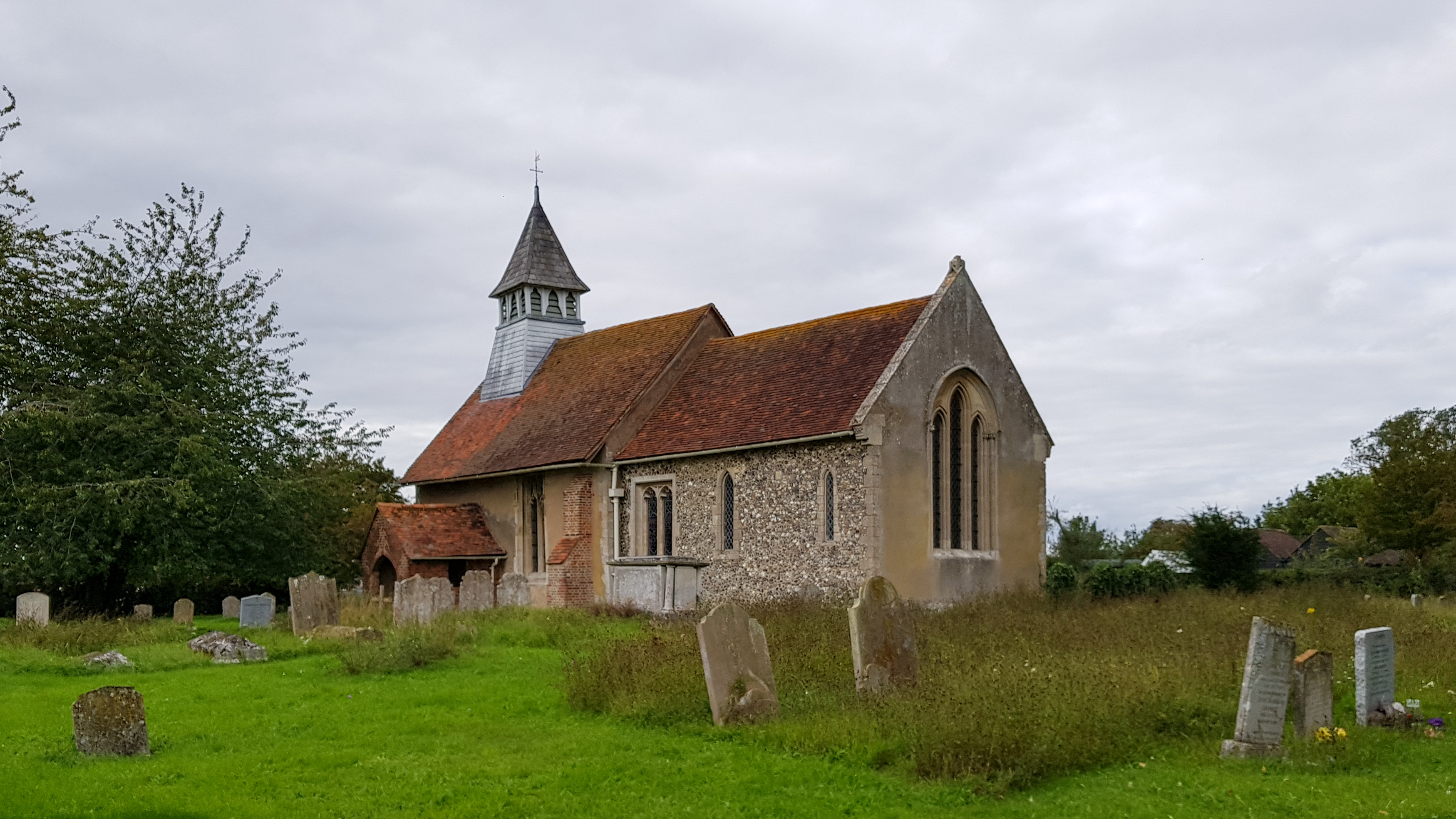
Snow End boasts a rich history, with evidence of human habitation dating back to ancient times. The village is home to several historic buildings, including a charming medieval church that stands as a testament to its past. The church's beautiful architecture and stained glass windows attract visitors from far and wide.

Despite its small size, Snow End offers a range of amenities to its residents. The village has a local pub, a primary school, and a village hall that serves as a hub for community events and activities. The surrounding countryside provides ample opportunities for outdoor pursuits such as hiking, cycling, and horseback riding.

The community in Snow End is tight-knit and friendly, with residents often organizing social gatherings and events. These include summer fairs, Christmas markets, and various sports tournaments. The village also has a strong sense of community spirit, with locals often coming together to support local causes and charities.

Access to Snow End is convenient, with good transport links to nearby towns and cities. The village is well-connected by road, making it easily accessible by car. Additionally, there are regular bus services that connect Snow End to the surrounding areas.

Overall, Snow End, Hertfordshire, offers a peaceful and picturesque setting, rich history, and a close-knit community, making it an attractive place to live or visit for those seeking a rural retreat.

If you have any feedback on the listing, please let us know in the comments section below.
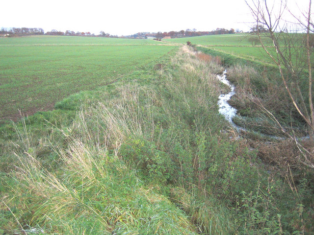
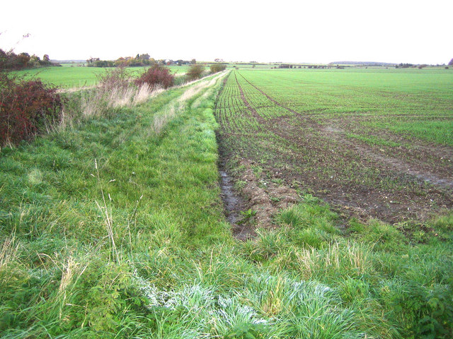
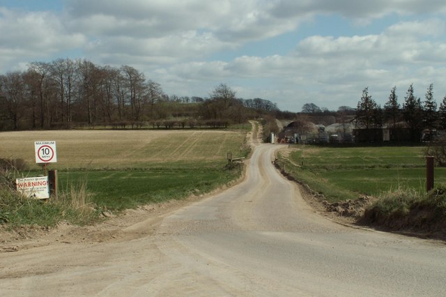
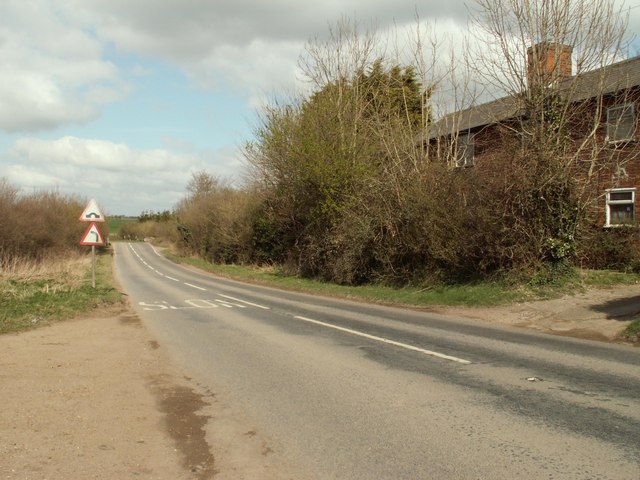
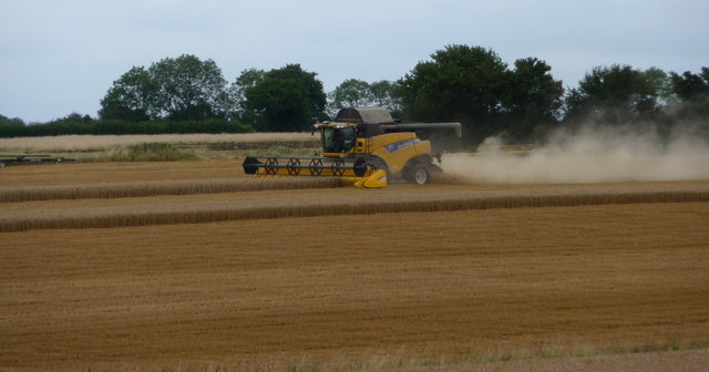
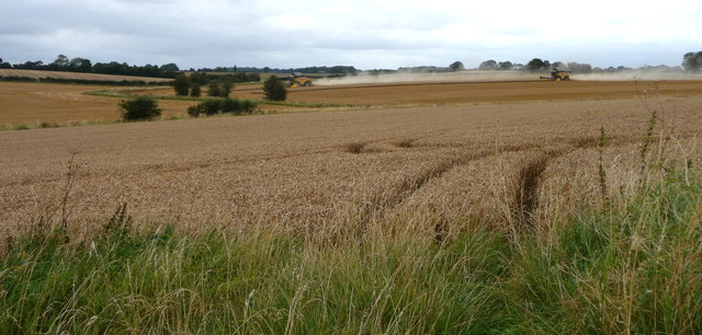
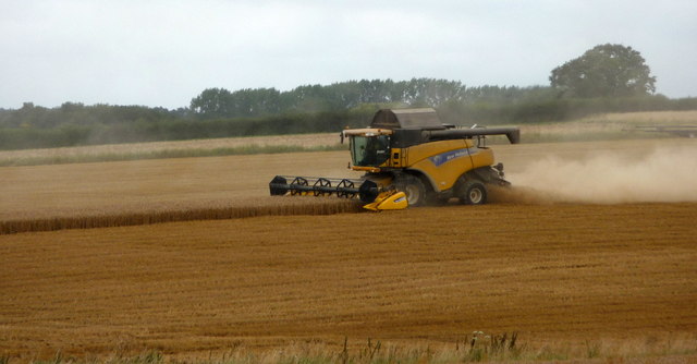
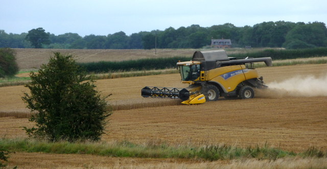
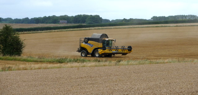
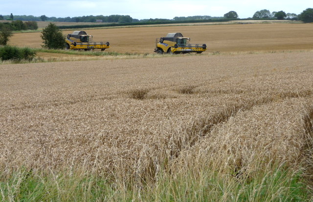
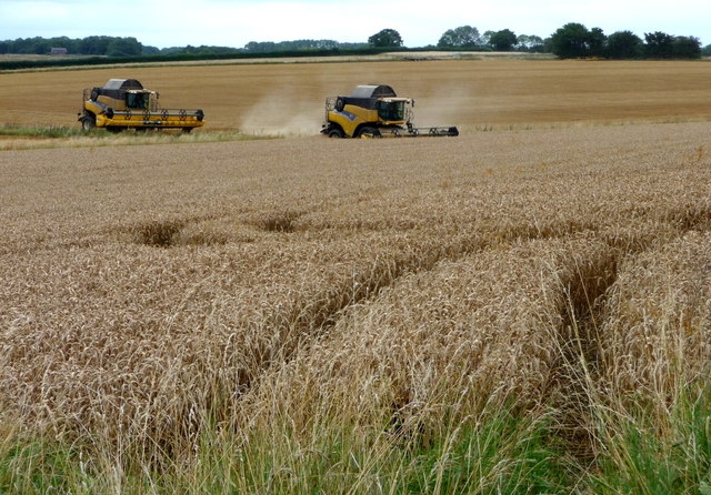
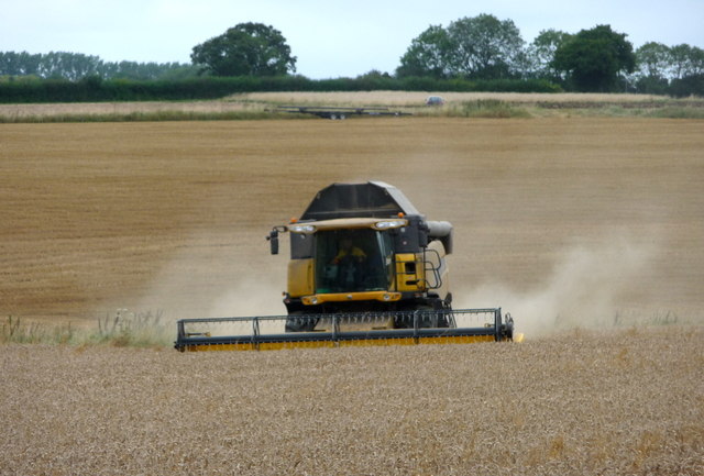
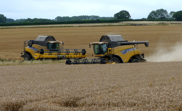
Snow End Images

Images are sourced within 2km of 51.973556/0.042598 or Grid Reference TL4032. Thanks to Geograph Open Source API. All images are credited.

River Quin at Stapleton Bridge Viewed looking downstream the river makes a right-angled turn to the right at the confluence with the two other streams in the distance.
River Quin at Stapleton Bridge
Viewed looking downstream the river makes a right-angled turn to the right at the confluence with the two other streams in the distance.
River Quin near Anstey The flat valley of the River Quin as it runs parallel to the B1368 road west of Anstey.
River Quin near Anstey
The flat valley of the River Quin as it runs parallel to the B1368 road west of Anstey.
Footpath and track, leading to a chalk pit
The B.1368 at Biggin Hill
Flint Cottage from Fox Hill
Old Milestone Old milestone on the B1368 near to Anstey, Hertfordshire. For close up view see <a title="https://www.geograph.org.uk/photo/1792660" href="https://www.geograph.org.uk/photo/1792660">Link</a> and for more info see <span class="nowrap"><a title="http://milestones.megalithia.com/sites/tl389326.htm" rel="nofollow ugc noopener" href="http://milestones.megalithia.com/sites/tl389326.htm">Link</a><img style="margin-left:2px;" alt="External link" title="External link - shift click to open in new window" src="https://s1.geograph.org.uk/img/external.png" width="10" height="10"/></span> do look at their home page.
Old Milestone
Old milestone on the B1368 near to Anstey, Hertfordshire. For close up view see Link and for more info see LinkExternal link do look at their home page.
Old Milestone Old milestone on the B1368 near to Anstey, Hertfordshire. For overall view see <a title="https://www.geograph.org.uk/photo/1792654" href="https://www.geograph.org.uk/photo/1792654">Link</a> and for more info see <span class="nowrap"><a title="http://milestones.megalithia.com/sites/tl389326.htm" rel="nofollow ugc noopener" href="http://milestones.megalithia.com/sites/tl389326.htm">Link</a><img style="margin-left:2px;" alt="External link" title="External link - shift click to open in new window" src="https://s1.geograph.org.uk/img/external.png" width="10" height="10"/></span> do look at their home page.
Old Milestone
Old milestone on the B1368 near to Anstey, Hertfordshire. For overall view see Link and for more info see LinkExternal link do look at their home page.
Old Milestone Old milestone on the B1368 near to Great Hormead, Hertfordshire. For close up view see <a title="https://www.geograph.org.uk/photo/1792679" href="https://www.geograph.org.uk/photo/1792679">Link</a> and for more info see <span class="nowrap"><a title="http://milestones.megalithia.com/sites/tl392311.htm" rel="nofollow ugc noopener" href="http://milestones.megalithia.com/sites/tl392311.htm">Link</a><img style="margin-left:2px;" alt="External link" title="External link - shift click to open in new window" src="https://s1.geograph.org.uk/img/external.png" width="10" height="10"/></span> do look at their home page.
Old Milestone
Old milestone on the B1368 near to Great Hormead, Hertfordshire. For close up view see Link and for more info see LinkExternal link do look at their home page.
Old Milestone Old milestone on the B1368 near to Great Hormead, Hertfordshire. For overall view see <a title="https://www.geograph.org.uk/photo/1792677" href="https://www.geograph.org.uk/photo/1792677">Link</a> and for more info see <span class="nowrap"><a title="http://milestones.megalithia.com/sites/tl392311.htm" rel="nofollow ugc noopener" href="http://milestones.megalithia.com/sites/tl392311.htm">Link</a><img style="margin-left:2px;" alt="External link" title="External link - shift click to open in new window" src="https://s1.geograph.org.uk/img/external.png" width="10" height="10"/></span> do look at their home page.
Old Milestone
Old milestone on the B1368 near to Great Hormead, Hertfordshire. For overall view see Link and for more info see LinkExternal link do look at their home page.
Combine Harvester near Anstey, Hertfordshire
Combine Harvesters near Anstey, Hertfordshire
Combine Harvester near Anstey, Hertfordshire
Combine Harvesters near Anstey, Hertfordshire
Combine Harvester near Anstey, Hertfordshire
Combine Harvesters near Anstey, Hertfordshire
Show me another place!

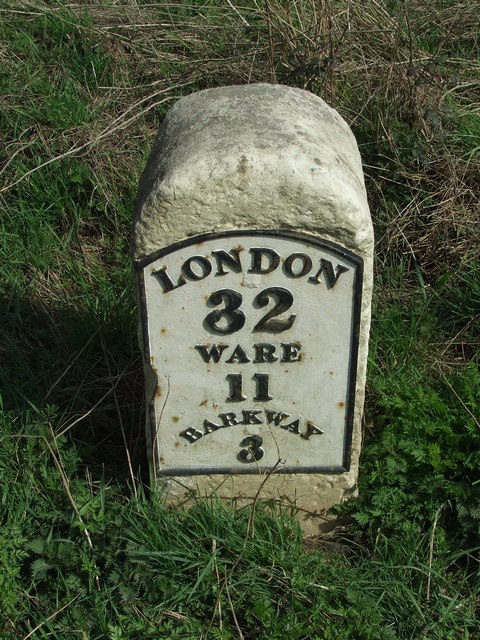
Snow End is located at Grid Ref: TL4032 (Lat: 51.973556, Lng: 0.042598)

Administrative County: Hertfordshire

District: East Hertfordshire

Police Authority: Hertfordshire

What 3 Words

///woodstove.majority.husky. Near Buntingford, Hertfordshire

Related Wikis

Anstey, Hertfordshire

Anstey is a village and civil parish in the East Hertfordshire district of Hertfordshire, England, about 15 miles (24 km) northeast of Stevenage. According...

Anstey Castle

Anstey Castle was in the village of Anstey, Hertfordshire. It was a 12th-century stone motte and bailey fortress that, according to tradition, was founded...

Nuthampstead

Nuthampstead is a small village and civil parish in North East Hertfordshire located a few miles south of the town of Royston. In the 2001 census the parish...

Hormead

Hormead is a civil parish in Hertfordshire, England. It comprises the villages of Great Hormead and Little Hormead and the hamlet of Hare Street and lies...

Hare Street House

Hare Street House is a Grade II* listed building in the hamlet of Hare Street that lies between Buntingford and Great Hormead in the East Hertfordshire...

Brent Pelham Windmill

Brent Pelham Windmill is a Grade II listed smock mill at Brent Pelham, Hertfordshire, England which is derelict. == History == Brent Pelham Mill was built...

St Mary's Church, Little Hormead

St Mary's Church is a redundant Anglican church in the village of Little Hormead, Hertfordshire, England. It is recorded in the National Heritage List...

Barkway

Barkway is a long-established village and civil parish in the North Hertfordshire district of Hertfordshire, England, about five miles south-east of...

Nearby Amenities

Located within 500m of 51.973556,0.042598
Anstey
Created By: POI Editor
Place: village
Source: npe
Lat/Long: 51.9751909/0.0428101
Barrier: kissing_gate
Foot: yes
Source: GPS
Lat/Long: 51.9777805/0.0423927
Bench
Backrest: no
Lat/Long: 51.9747155/0.0431846
Bench
Backrest: yes
Lat/Long: 51.9763626/0.0433574
Bench
Backrest: yes
Lat/Long: 51.9770455/0.0446262
Barrier: entrance
Lat/Long: 51.9721036/0.0466694
Barrier: kissing_gate
Lat/Long: 51.9745828/0.0424754
Playground: swing
Lat/Long: 51.9748107/0.0432127
Playground: climbingframe
Lat/Long: 51.9748561/0.0433294
Leisure: picnic_table
Lat/Long: 51.9747545/0.0432007
Leisure: picnic_table
Lat/Long: 51.9747421/0.0431578
Advertising: board
Direction: 75
Lat/Long: 51.9759053/0.043422
Snow End
Place: locality
Lat/Long: 51.9735034/0.0414222
Daw's End
Place: locality
Lat/Long: 51.9709687/0.0462985
The data included in this document is from www.openstreetmap.org. The data is made available under ODbL.

Have you been to Snow End?

Leave your review of Snow End below (or comments, questions and feedback).