Snods Edge
Settlement in Northumberland
England
Snods Edge

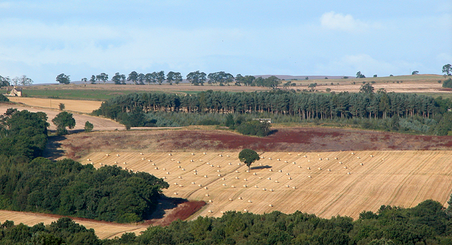
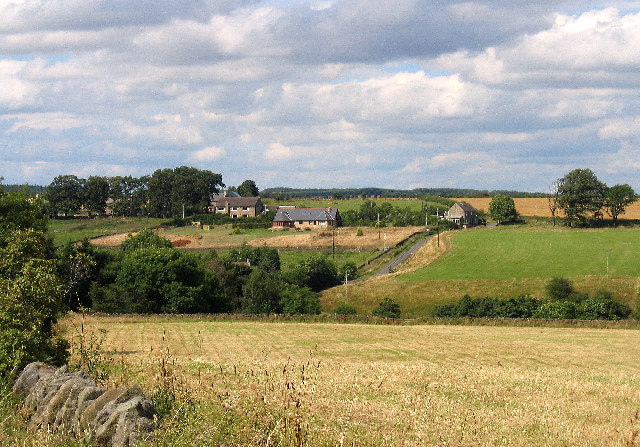
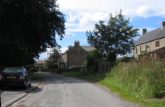
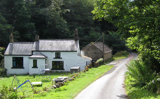
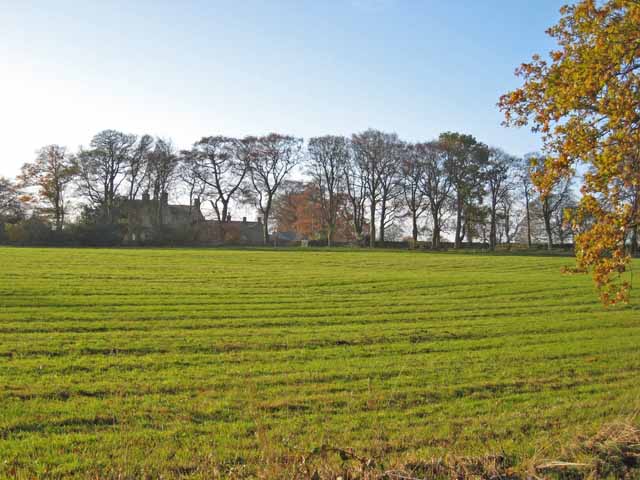
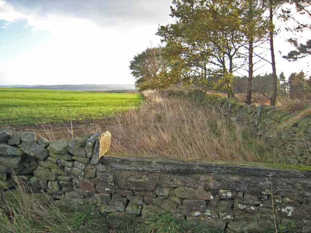
Snods Edge is a small village located in the county of Northumberland, in the northeast of England. Situated on the B6306 road, it lies approximately 11 miles southwest of the historic city of Newcastle upon Tyne. This charming rural community is nestled in the beautiful Derwent Valley, offering picturesque views of the surrounding countryside.
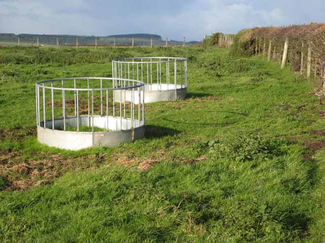
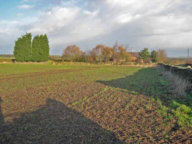
With a population of around 200 residents, Snods Edge is a close-knit community known for its peaceful and idyllic setting. The village is characterized by its traditional stone-built houses and a quaint village pub, which serves as a social hub for locals and visitors alike. The area's rich agricultural heritage is evident in the nearby fields and farms.
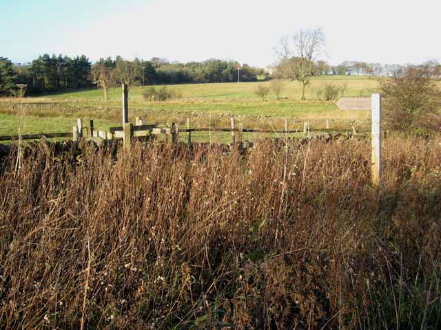
Snods Edge provides a range of amenities to cater to its residents' needs. These include a primary school, a village hall, and a post office. Additionally, there are several walking and cycling paths that allow residents to explore the stunning Northumberland landscape.
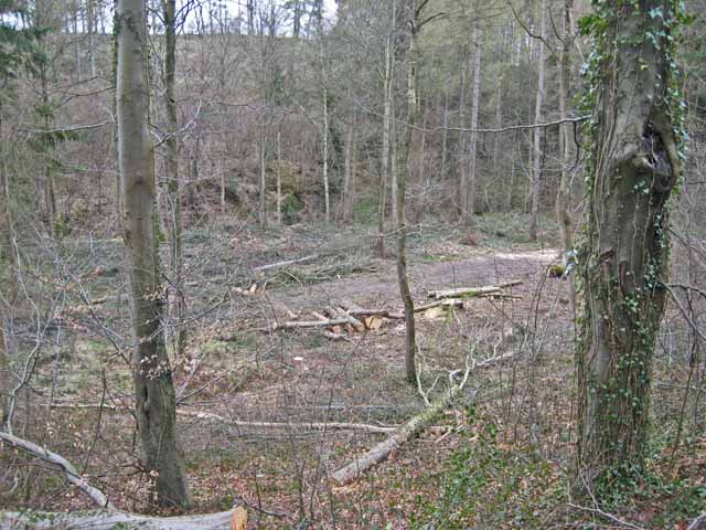
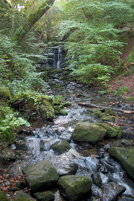
The village's location makes it an ideal base for outdoor enthusiasts, with numerous opportunities for hiking, cycling, and birdwatching in the surrounding countryside. The nearby Derwent Reservoir offers water sports activities, including sailing and fishing.
Snods Edge is also within easy reach of larger towns such as Consett and Hexham, which provide a wider range of services and amenities. Overall, Snods Edge offers a peaceful and picturesque retreat for those seeking a rural lifestyle while still being within easy reach of urban conveniences.
If you have any feedback on the listing, please let us know in the comments section below.
Snods Edge Images
Images are sourced within 2km of 54.868247/-1.903049 or Grid Reference NZ0652. Thanks to Geograph Open Source API. All images are credited.


![Sheep near Shotleyfield Shotleyfell Plantation in the distance [<a href="https://www.geograph.org.uk/gridref/NZ0452">NZ0452</a>] (and adjoining squares).](https://s0.geograph.org.uk/photos/28/23/282304_be09db3c.jpg)
Snods Edge is located at Grid Ref: NZ0652 (Lat: 54.868247, Lng: -1.903049)
Unitary Authority: Northumberland
Police Authority: Northumbria
What 3 Words
///poetry.steeped.locals. Near Castleside, Co. Durham
Nearby Locations
Related Wikis

Snods Edge
Snods Edge is a small hamlet in South Northumberland, about 4 miles (6 km) from Consett. The name is thought to have derived from "snow's edge", referring...
Carterway Heads
Carterway Heads is a hamlet in Northumberland, England. It is situated between Consett and the Derwent Reservoir, at the intersection of the A68 and B6278...
Shotley Grove
Shotley Grove is a small settlement on the river Derwent, about 1 mile upstream of Shotley Bridge in County Durham, England. Today Shotley Grove is a pleasant...

Shotley Hall
Shotley Hall is a Grade II* listed historic mansion in Shotley Low Quarter, Northumberland, England. It was designed in the Gothic Revival architectural...

Shotley Bridge
Shotley Bridge is a village, adjoining the town of Consett to the south in County Durham, England, 15 miles North West of Durham City. It is located on...
Bridgehill
Bridgehill is an area of Consett in County Durham, England. It is situated near Benfieldside, Blackhill, Shotley Grove, and the River Derwent. == References... ==
Allensford
Allensford is a small country park and hamlet in County Durham, in England. It is on the River Derwent, about 2 miles SW of Consett, and 1 mile north...
Benfieldside
Benfieldside is a parish in County Durham, in England. Although not a village in its own right (ecclesiastically it incorporates Shotley Bridge, Bridgehill...
Nearby Amenities
Located within 500m of 54.868247,-1.903049Have you been to Snods Edge?
Leave your review of Snods Edge below (or comments, questions and feedback).