Snodland
Settlement in Kent Tonbridge and Malling
England
Snodland
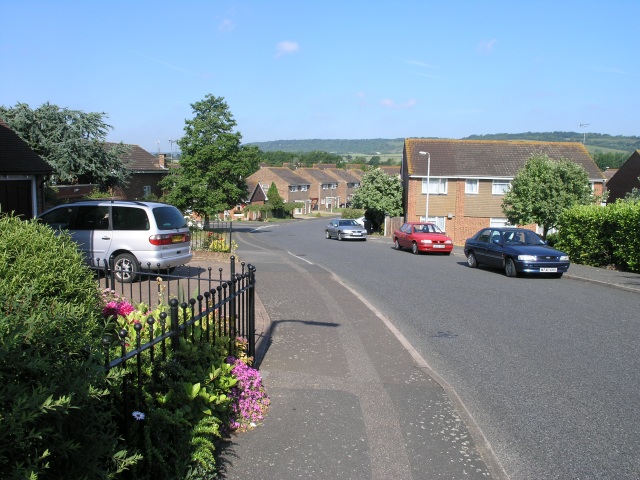
Snodland is a small town located in the county of Kent, England. Situated on the banks of the River Medway, it lies approximately 27 miles southeast of London. With a population of around 12,000, Snodland is a close-knit community that offers a peaceful and picturesque setting.
The town's history can be traced back to Roman times, and it was later mentioned in the Domesday Book of 1086. Throughout the centuries, Snodland has been known for its agriculture and brick-making industries, which have played a significant role in shaping its development.
Today, Snodland offers a range of amenities and services to its residents. The town center hosts a variety of shops, including local boutiques, supermarkets, and convenience stores. There are also several pubs, cafes, and restaurants, providing a selection of dining options for locals and visitors alike.
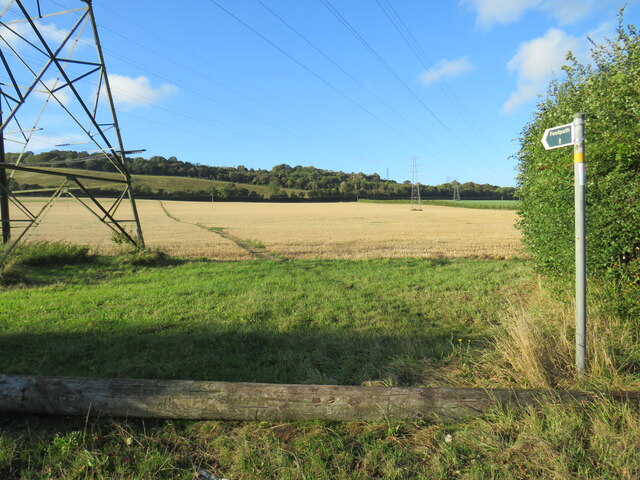
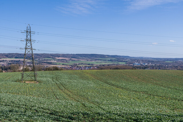
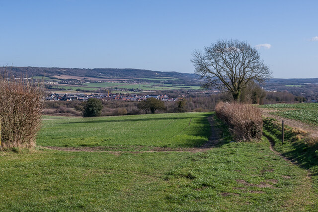
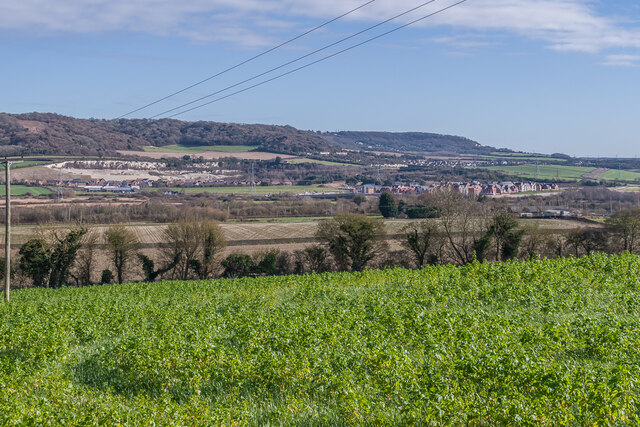
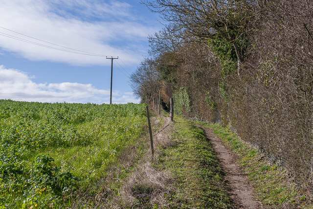
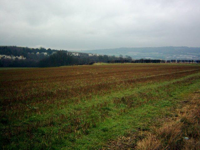
Nature enthusiasts can enjoy the scenic beauty of the surrounding countryside, with several parks and green spaces available for recreational activities. The nearby Leybourne Lakes Country Park offers opportunities for fishing, boating, and walking trails, making it a popular destination for outdoor enthusiasts.
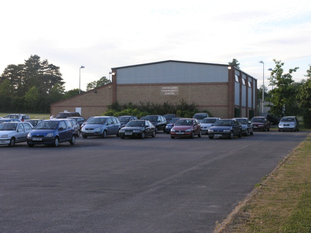
Snodland benefits from excellent transport links, with easy access to the M2 motorway and nearby train stations, allowing for convenient travel to London and other major cities. The town also has several schools, medical facilities, and community centers, ensuring the needs of its residents are well catered for.
In conclusion, Snodland is a charming and historic town in Kent, offering a tranquil setting, a range of amenities, and excellent transport links, making it an attractive place to live or visit.
If you have any feedback on the listing, please let us know in the comments section below.
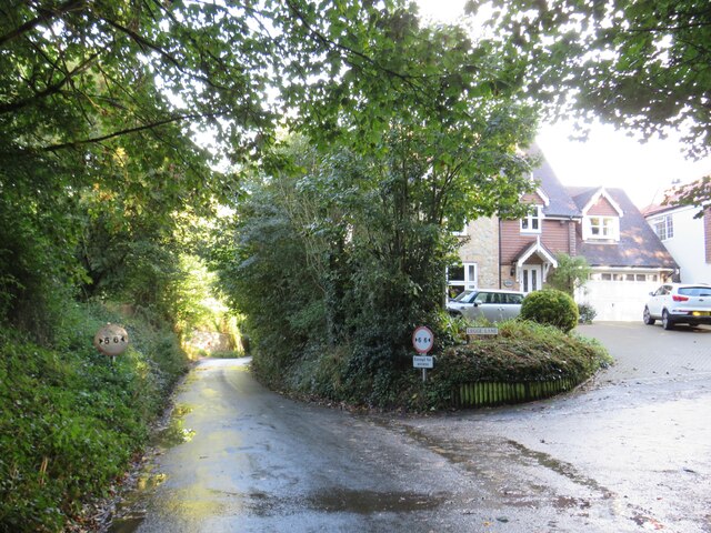
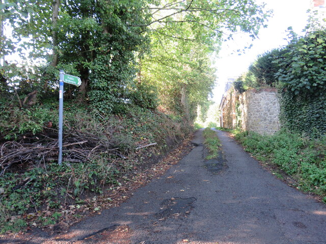
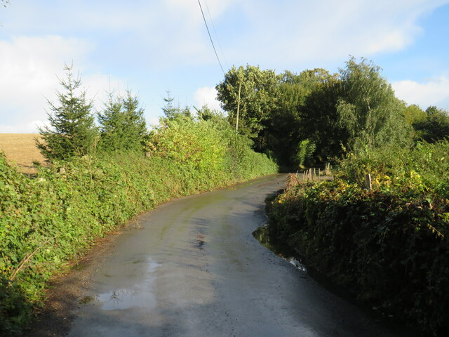
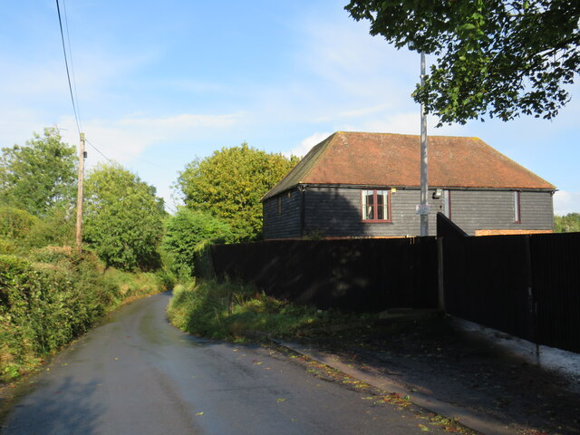
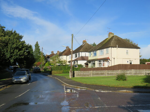
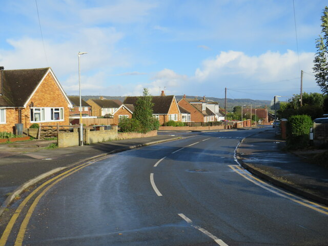
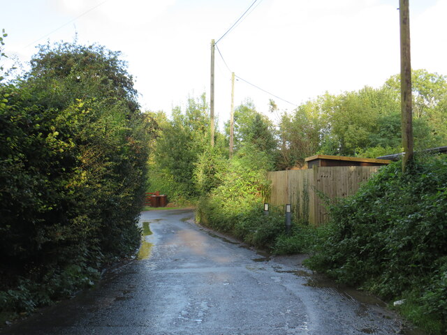
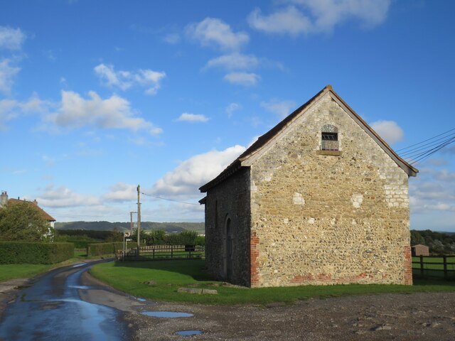
Snodland Images
Images are sourced within 2km of 51.33003/0.442507 or Grid Reference TQ7061. Thanks to Geograph Open Source API. All images are credited.

Snodland is located at Grid Ref: TQ7061 (Lat: 51.33003, Lng: 0.442507)
Administrative County: Kent
District: Tonbridge and Malling
Police Authority: Kent
What 3 Words
///spouting.guises.drape. Near Snodland, Kent
Nearby Locations
Related Wikis

Snodland
Snodland is a town in the borough of Tonbridge and Malling in Kent, England. It lies on the River Medway, between Rochester and Maidstone, and 27 miles...
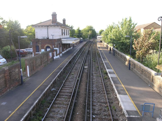
Snodland railway station
Snodland railway station is on the Medway Valley Line in Kent, England. It serves the town of Snodland, which lies some way to the west. The station is...

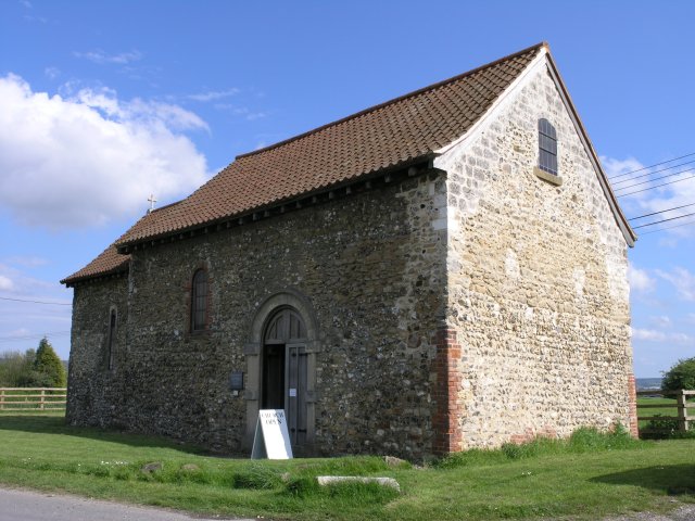
All Saints Church, Snodland
All Saints Church is the parish church of Snodland in Kent, England. It is a Grade I listed building.It is dedicated to All Saints. == Building == All...

Snodland Town F.C.
Snodland Town F.C. is an English football club based in Snodland, Kent. They play in the Southern Counties East League Division One, at level 10 of the...

The Holmesdale School
The Holmesdale School is a coeducational high school and sixth form located in Snodland, Kent.It was previously a foundation school administered by Kent...

Holborough Marshes
Holborough Marshes is a 35-hectare (86-acre) nature reserve on the outskirts of Snodland, south-west of Chatham in Kent. It is managed by Kent Wildlife...

Holborough to Burham Marshes
Holborough to Burham Marshes is a 149.8-hectare (370-acre) biological Site of Special Scientific Interest Kent. Holborough Marshes and Burham Marsh are...

Burham Marsh
Burham Marsh nature reserve is an 11 hectare tidal Reed bed on the River Medway 5 miles northwest of Maidstone. It is just east of Snodland but being on...
Nearby Amenities
Located within 500m of 51.33003,0.442507Have you been to Snodland?
Leave your review of Snodland below (or comments, questions and feedback).