Hammermill Plantation
Wood, Forest in Northumberland
England
Hammermill Plantation

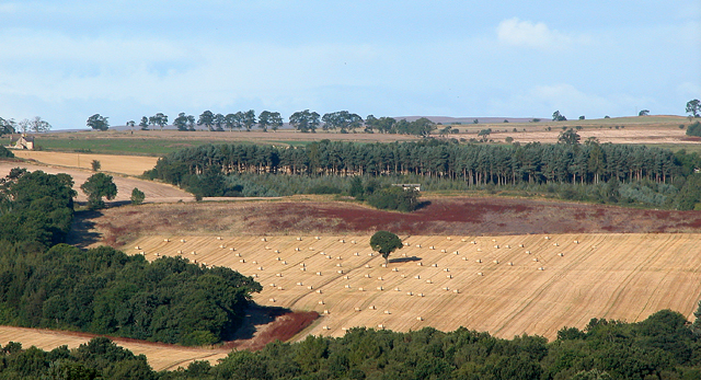
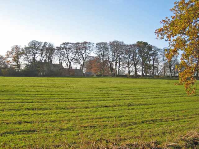
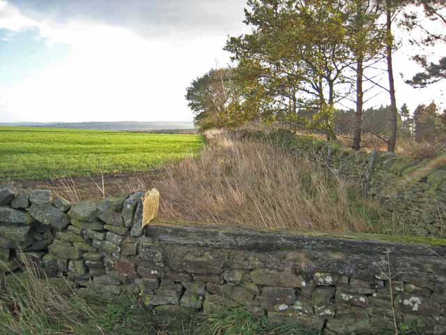
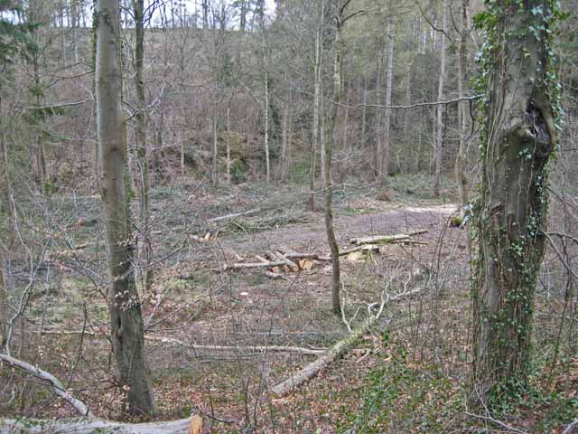
Hammermill Plantation is a sprawling woodland located in Northumberland, England. This vast forest covers an area of approximately 500 acres and is known for its dense and diverse collection of trees. The plantation is primarily composed of a mixture of deciduous and coniferous trees, creating a visually stunning landscape throughout the year.
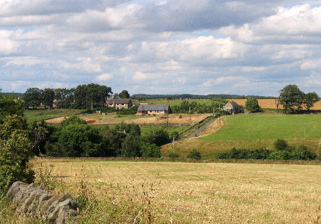
The forest is home to a wide variety of wildlife, including deer, rabbits, and numerous bird species. It serves as an important habitat for these creatures, providing them with ample food sources and shelter. Visitors to Hammermill Plantation can often spot these animals as they explore the numerous walking trails that wind their way through the woodland.
The plantation is also notable for its historic significance. It dates back several centuries and was once a site of a working hammer mill, which gave the area its name. The remnants of this mill can still be seen today, adding to the charm and character of the woodland.
Due to its natural beauty and rich history, Hammermill Plantation has become a popular destination for nature enthusiasts, hikers, and history buffs alike. Its picturesque surroundings and peaceful atmosphere make it an ideal place to escape the hustle and bustle of everyday life. Whether visitors are seeking a tranquil retreat or an opportunity to immerse themselves in the region's history, Hammermill Plantation offers a memorable experience for all.
If you have any feedback on the listing, please let us know in the comments section below.
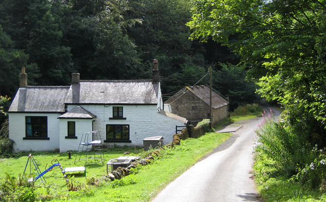
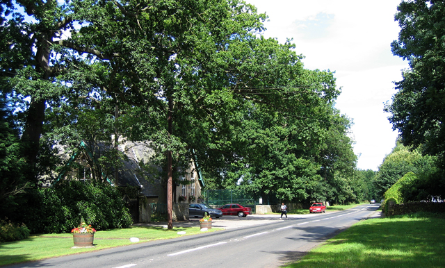
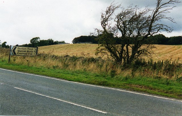
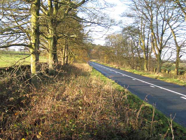
Hammermill Plantation Images
Images are sourced within 2km of 54.869744/-1.9008844 or Grid Reference NZ0652. Thanks to Geograph Open Source API. All images are credited.


![Sheep near Shotleyfield Shotleyfell Plantation in the distance [<a href="https://www.geograph.org.uk/gridref/NZ0452">NZ0452</a>] (and adjoining squares).](https://s0.geograph.org.uk/photos/28/23/282304_be09db3c.jpg)
Hammermill Plantation is located at Grid Ref: NZ0652 (Lat: 54.869744, Lng: -1.9008844)
Unitary Authority: Northumberland
Police Authority: Northumbria
What 3 Words
///epidemics.running.lots. Near Castleside, Co. Durham
Nearby Locations
Related Wikis

Snods Edge
Snods Edge is a small hamlet in South Northumberland, about 4 miles (6 km) from Consett. The name is thought to have derived from "snow's edge", referring...
Carterway Heads
Carterway Heads is a hamlet in Northumberland, England. It is situated between Consett and the Derwent Reservoir, at the intersection of the A68 and B6278...

Shotley Hall
Shotley Hall is a Grade II* listed historic mansion in Shotley Low Quarter, Northumberland, England. It was designed in the Gothic Revival architectural...
Shotley Grove
Shotley Grove is a small settlement on the river Derwent, about 1 mile upstream of Shotley Bridge in County Durham, England. Today Shotley Grove is a pleasant...
Nearby Amenities
Located within 500m of 54.869744,-1.9008844Have you been to Hammermill Plantation?
Leave your review of Hammermill Plantation below (or comments, questions and feedback).