Daw's End

Settlement in Hertfordshire East Hertfordshire

England

Daw's End

River Quin at Stapleton Bridge Viewed looking downstream the river makes a right-angled turn to the right at the confluence with the two other streams in the distance.
River Quin at Stapleton Bridge Credit: Nigel Cox

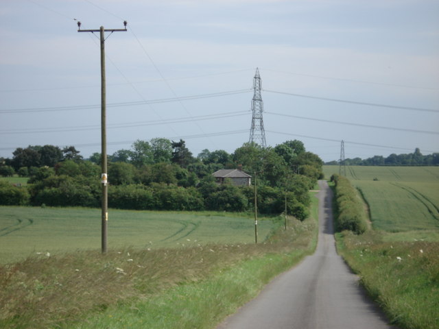
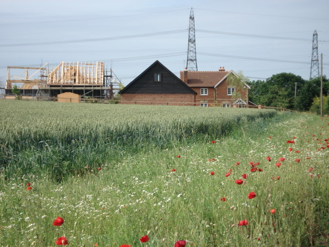
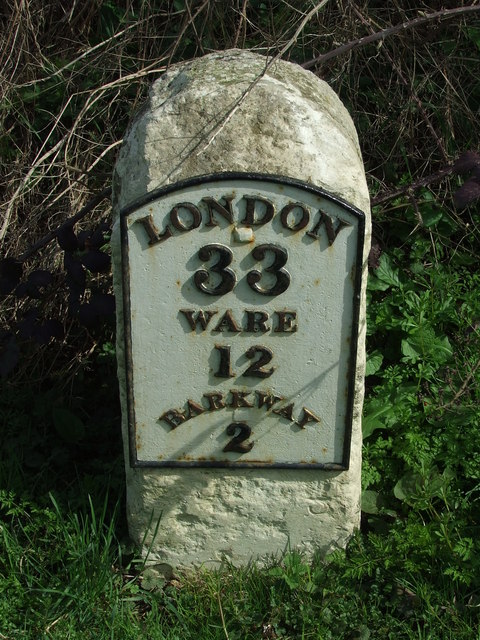
Daw's End is a small village located in the county of Hertfordshire, England. Situated in the eastern part of the county, it is nestled amidst the picturesque countryside and offers a tranquil retreat from the hustle and bustle of urban life. The village is situated approximately 6 miles north of the town of Hertford and is easily accessible by road.

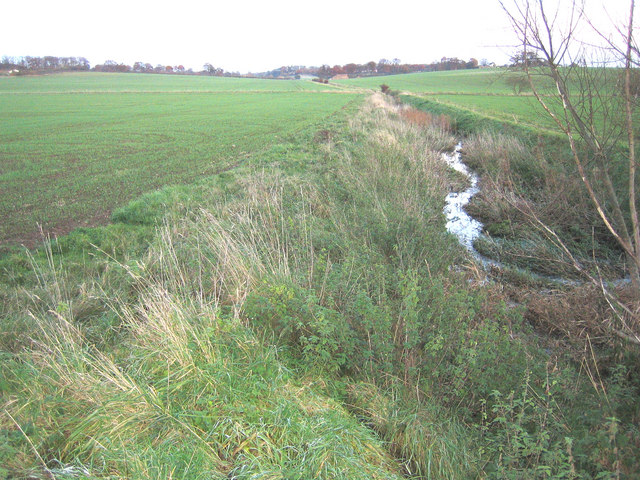
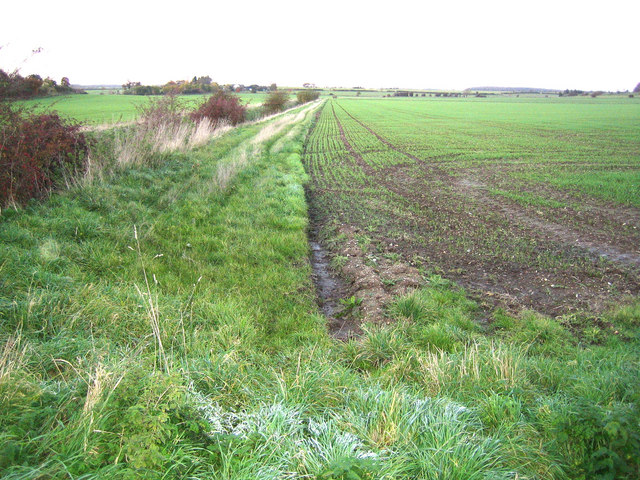
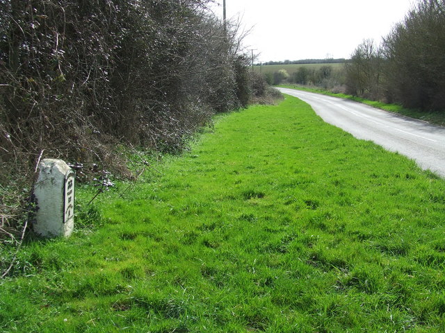
Daw's End is characterized by its idyllic setting, with rolling hills, lush green fields, and charming cottages dotting the landscape. The village is surrounded by an abundance of natural beauty, making it an attractive destination for nature lovers and outdoor enthusiasts. The nearby River Beane meanders through the countryside, providing opportunities for fishing and leisurely walks along its banks.

Despite its small size, Daw's End is a close-knit community, with a friendly and welcoming atmosphere. The village is home to a small number of residents, many of whom have lived there for generations, creating a strong sense of community and tradition. The village also has a local pub, where residents and visitors can enjoy a pint of beer or a hearty meal.

For those seeking a peaceful and rural escape, Daw's End offers a delightful retreat. Its charming scenery, friendly community, and easy access to the surrounding countryside make it an appealing destination for both residents and visitors alike.

If you have any feedback on the listing, please let us know in the comments section below.
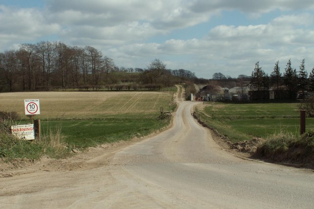
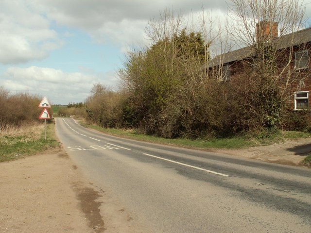
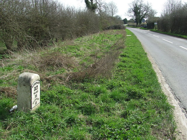
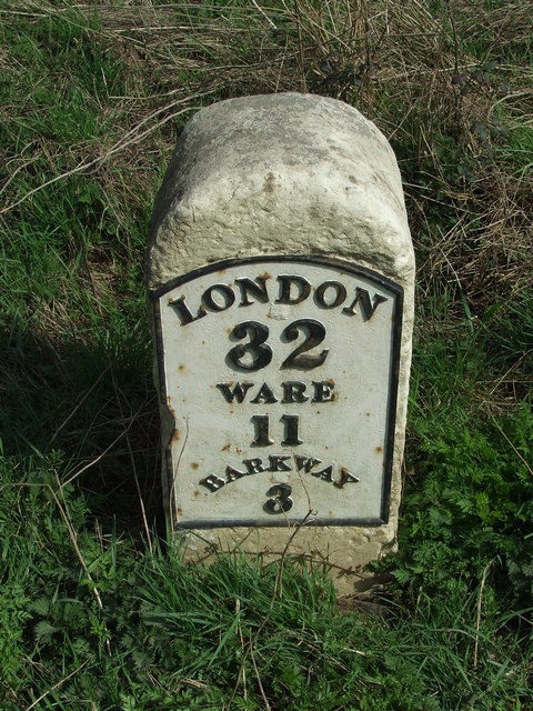
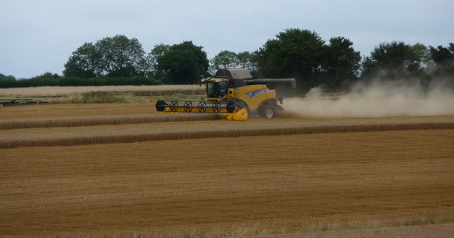
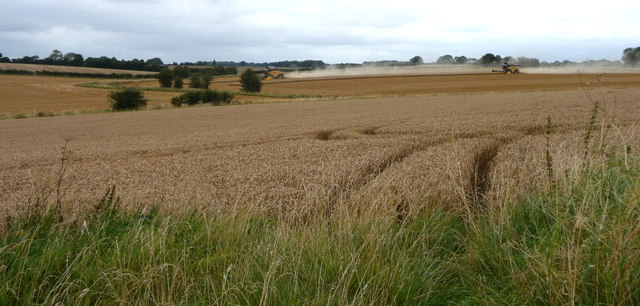
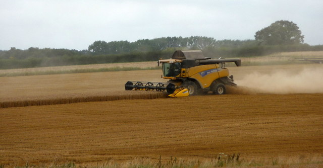
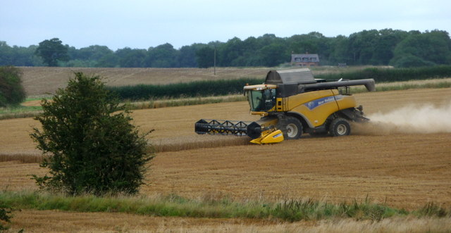
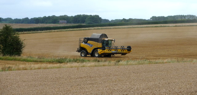
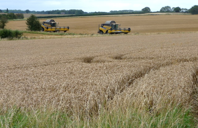
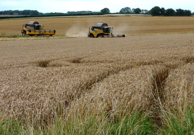
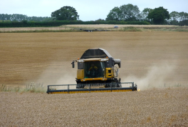
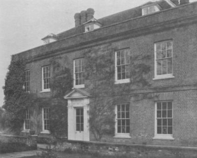
Daw's End Images

Images are sourced within 2km of 51.970884/0.043133224 or Grid Reference TL4032. Thanks to Geograph Open Source API. All images are credited.

River Quin at Stapleton Bridge Viewed looking downstream the river makes a right-angled turn to the right at the confluence with the two other streams in the distance.
River Quin at Stapleton Bridge
Viewed looking downstream the river makes a right-angled turn to the right at the confluence with the two other streams in the distance.
River Quin near Anstey The flat valley of the River Quin as it runs parallel to the B1368 road west of Anstey.
River Quin near Anstey
The flat valley of the River Quin as it runs parallel to the B1368 road west of Anstey.
Footpath and track, leading to a chalk pit
The B.1368 at Biggin Hill
Flint Cottage from Fox Hill
Barn conversion in progress, Bradbury Farm
Old Milestone Old milestone on the B1368 near to Anstey, Hertfordshire. For close up view see <a title="https://www.geograph.org.uk/photo/1792660" href="https://www.geograph.org.uk/photo/1792660">Link</a> and for more info see <span class="nowrap"><a title="http://milestones.megalithia.com/sites/tl389326.htm" rel="nofollow ugc noopener" href="http://milestones.megalithia.com/sites/tl389326.htm">Link</a><img style="margin-left:2px;" alt="External link" title="External link - shift click to open in new window" src="https://s1.geograph.org.uk/img/external.png" width="10" height="10"/></span> do look at their home page.
Old Milestone
Old milestone on the B1368 near to Anstey, Hertfordshire. For close up view see Link and for more info see LinkExternal link do look at their home page.
Old Milestone Old milestone on the B1368 near to Anstey, Hertfordshire. For overall view see <a title="https://www.geograph.org.uk/photo/1792654" href="https://www.geograph.org.uk/photo/1792654">Link</a> and for more info see <span class="nowrap"><a title="http://milestones.megalithia.com/sites/tl389326.htm" rel="nofollow ugc noopener" href="http://milestones.megalithia.com/sites/tl389326.htm">Link</a><img style="margin-left:2px;" alt="External link" title="External link - shift click to open in new window" src="https://s1.geograph.org.uk/img/external.png" width="10" height="10"/></span> do look at their home page.
Old Milestone
Old milestone on the B1368 near to Anstey, Hertfordshire. For overall view see Link and for more info see LinkExternal link do look at their home page.
Old Milestone Old milestone on the B1368 near to Great Hormead, Hertfordshire. For close up view see <a title="https://www.geograph.org.uk/photo/1792679" href="https://www.geograph.org.uk/photo/1792679">Link</a> and for more info see <span class="nowrap"><a title="http://milestones.megalithia.com/sites/tl392311.htm" rel="nofollow ugc noopener" href="http://milestones.megalithia.com/sites/tl392311.htm">Link</a><img style="margin-left:2px;" alt="External link" title="External link - shift click to open in new window" src="https://s1.geograph.org.uk/img/external.png" width="10" height="10"/></span> do look at their home page.
Old Milestone
Old milestone on the B1368 near to Great Hormead, Hertfordshire. For close up view see Link and for more info see LinkExternal link do look at their home page.
Old Milestone Old milestone on the B1368 near to Great Hormead, Hertfordshire. For overall view see <a title="https://www.geograph.org.uk/photo/1792677" href="https://www.geograph.org.uk/photo/1792677">Link</a> and for more info see <span class="nowrap"><a title="http://milestones.megalithia.com/sites/tl392311.htm" rel="nofollow ugc noopener" href="http://milestones.megalithia.com/sites/tl392311.htm">Link</a><img style="margin-left:2px;" alt="External link" title="External link - shift click to open in new window" src="https://s1.geograph.org.uk/img/external.png" width="10" height="10"/></span> do look at their home page.
Old Milestone
Old milestone on the B1368 near to Great Hormead, Hertfordshire. For overall view see Link and for more info see LinkExternal link do look at their home page.
Combine Harvester near Anstey, Hertfordshire
Combine Harvesters near Anstey, Hertfordshire
Combine Harvester near Anstey, Hertfordshire
Combine Harvesters near Anstey, Hertfordshire
Combine Harvester near Anstey, Hertfordshire
Show me another place!

Daw's End is located at Grid Ref: TL4032 (Lat: 51.970884, Lng: 0.043133224)

Administrative County: Hertfordshire

District: East Hertfordshire

Police Authority: Hertfordshire

What 3 Words

///comments.model.paddocks. Near Buntingford, Hertfordshire

Related Wikis

Anstey, Hertfordshire

Anstey is a village and civil parish in the East Hertfordshire district of Hertfordshire, England, about 15 miles (24 km) northeast of Stevenage. According...

Anstey Castle

Anstey Castle was in the village of Anstey, Hertfordshire. It was a 12th-century stone motte and bailey fortress that, according to tradition, was founded...

Nuthampstead

Nuthampstead is a small village and civil parish in North East Hertfordshire located a few miles south of the town of Royston. In the 2001 census the parish...

Hormead

Hormead is a civil parish in Hertfordshire, England. It comprises the villages of Great Hormead and Little Hormead and the hamlet of Hare Street and lies...

Hare Street House

Hare Street House is a Grade II* listed building in the hamlet of Hare Street that lies between Buntingford and Great Hormead in the East Hertfordshire...

Brent Pelham Windmill

Brent Pelham Windmill is a Grade II listed smock mill at Brent Pelham, Hertfordshire, England which is derelict. == History == Brent Pelham Mill was built...

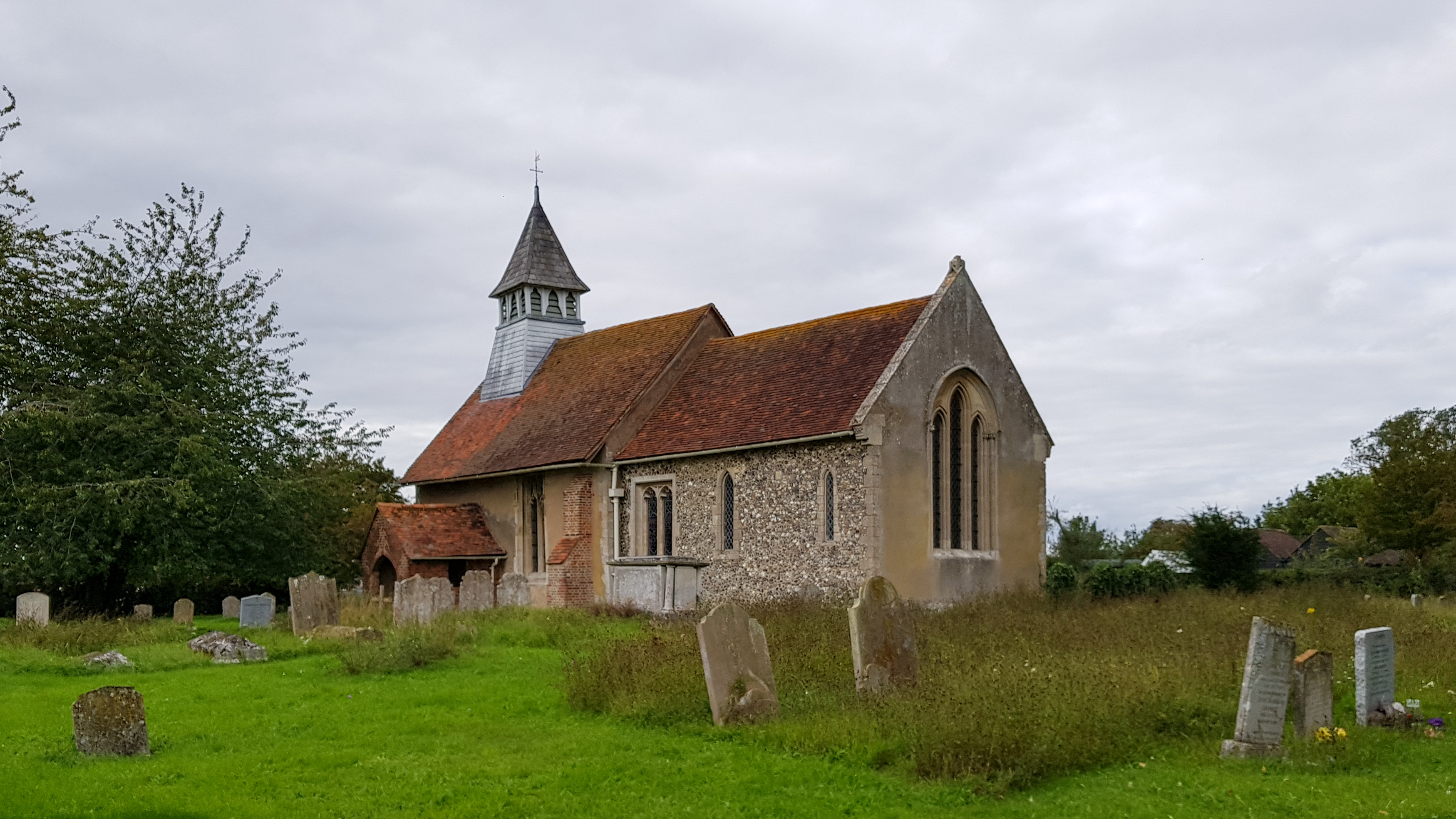
St Mary's Church, Little Hormead

St Mary's Church is a redundant Anglican church in the village of Little Hormead, Hertfordshire, England. It is recorded in the National Heritage List...

Little Hormead

Little Hormead is a village and former civil parish in the English county of Hertfordshire. It is a few miles away from the small town of Buntingford and...

Nearby Amenities

Located within 500m of 51.970884,0.043133224
Anstey
Created By: POI Editor
Place: village
Source: npe
Lat/Long: 51.9751909/0.0428101
Bench
Backrest: no
Lat/Long: 51.9747155/0.0431846
Barrier: entrance
Lat/Long: 51.9721036/0.0466694
Barrier: kissing_gate
Lat/Long: 51.9745828/0.0424754
Playground: swing
Lat/Long: 51.9748107/0.0432127
Playground: climbingframe
Lat/Long: 51.9748561/0.0433294
Leisure: picnic_table
Lat/Long: 51.9747545/0.0432007
Leisure: picnic_table
Lat/Long: 51.9747421/0.0431578
Snow End
Place: locality
Lat/Long: 51.9735034/0.0414222
Daw's End
Place: locality
Lat/Long: 51.9709687/0.0462985
The data included in this document is from www.openstreetmap.org. The data is made available under ODbL.

Have you been to Daw's End?

Leave your review of Daw's End below (or comments, questions and feedback).