Dawsholm
Settlement in Dunbartonshire
Scotland
Dawsholm
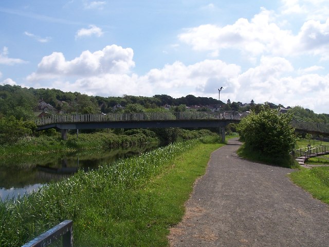
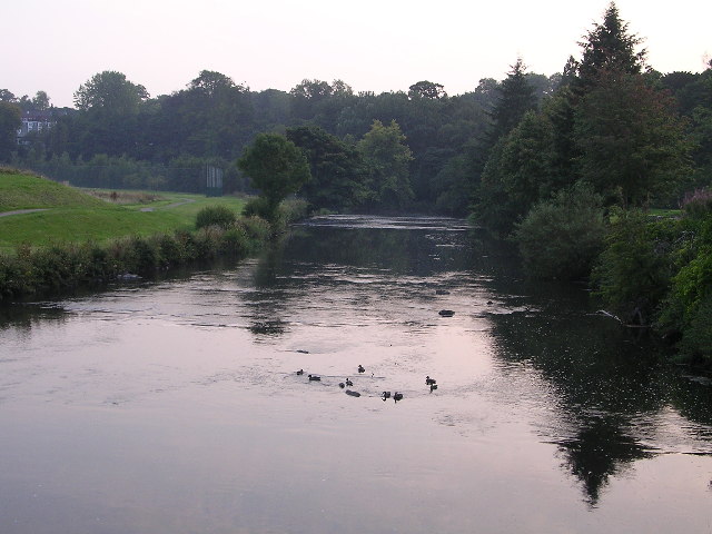
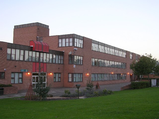
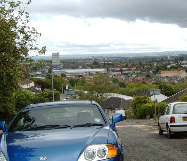
Dawsholm is a small residential area located in the district of Dunbartonshire in Scotland, United Kingdom. Situated approximately 5 miles northwest of the city center of Glasgow, it lies on the northern bank of the River Clyde. The area is part of the larger community of Maryhill.
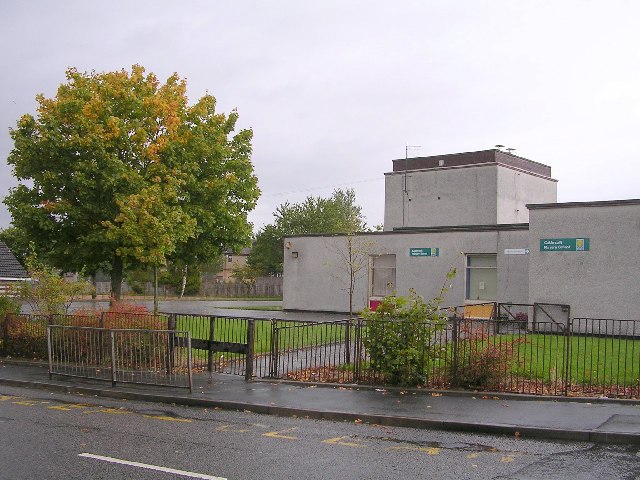
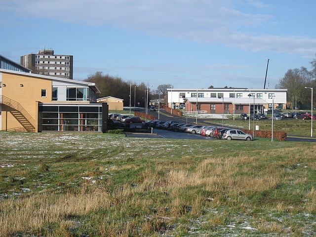
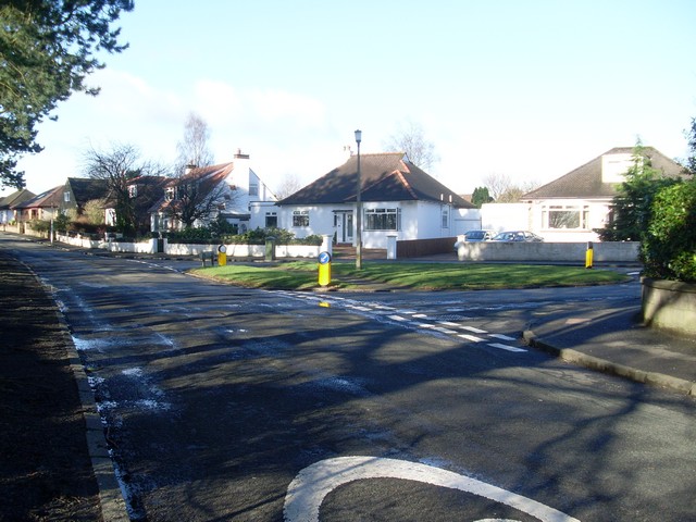
Dawsholm boasts a mix of residential properties, including detached houses, semi-detached houses, and a few apartment complexes. The area is known for its leafy streets and well-maintained gardens, providing a pleasant and tranquil living environment for its residents. Many of the homes in Dawsholm offer views of the nearby nature reserves and green spaces.
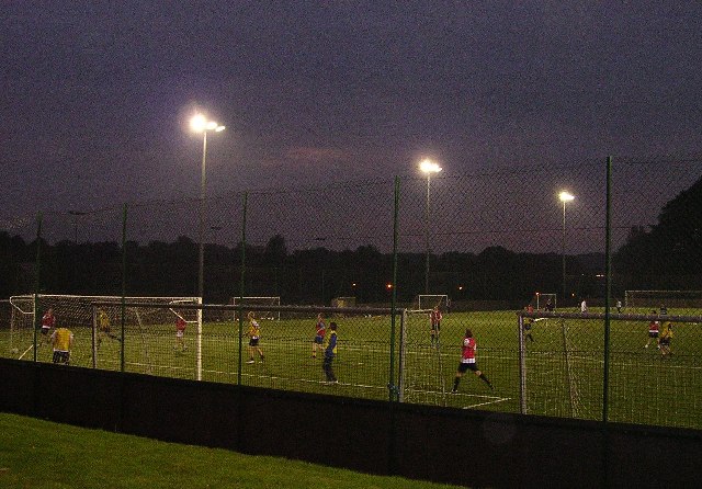
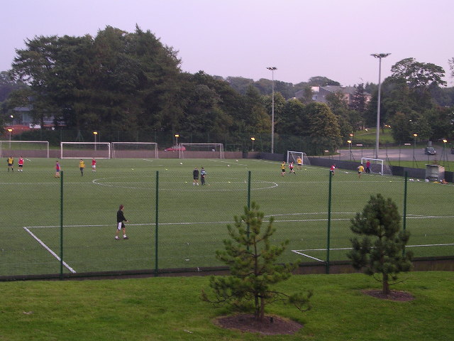
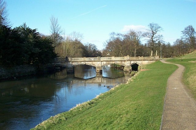
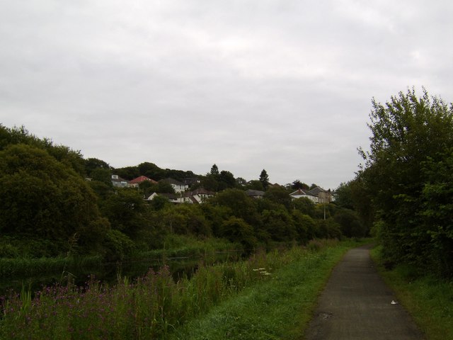
One of the notable features of Dawsholm is the Dawsholm Park, a large public park that covers an area of approximately 56 hectares. The park offers a range of recreational facilities, including walking and cycling routes, picnic areas, and a children's play area. It is also home to a variety of wildlife, including numerous bird species, making it a popular destination for birdwatchers.
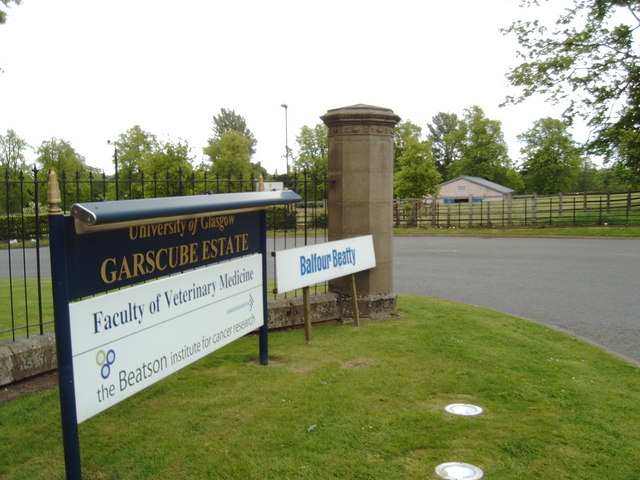
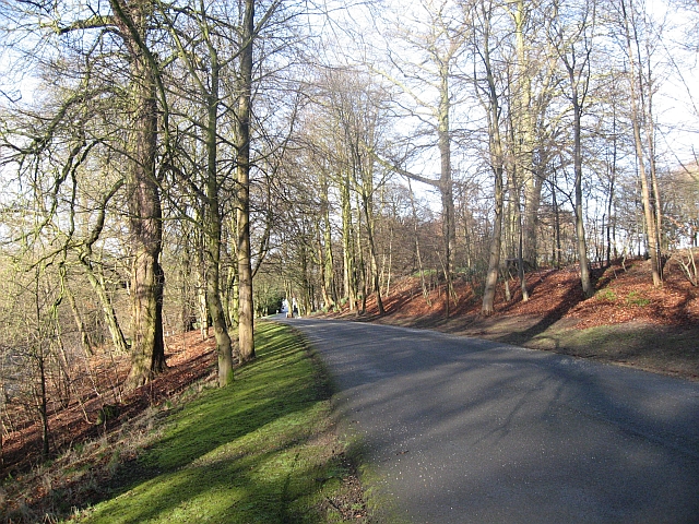
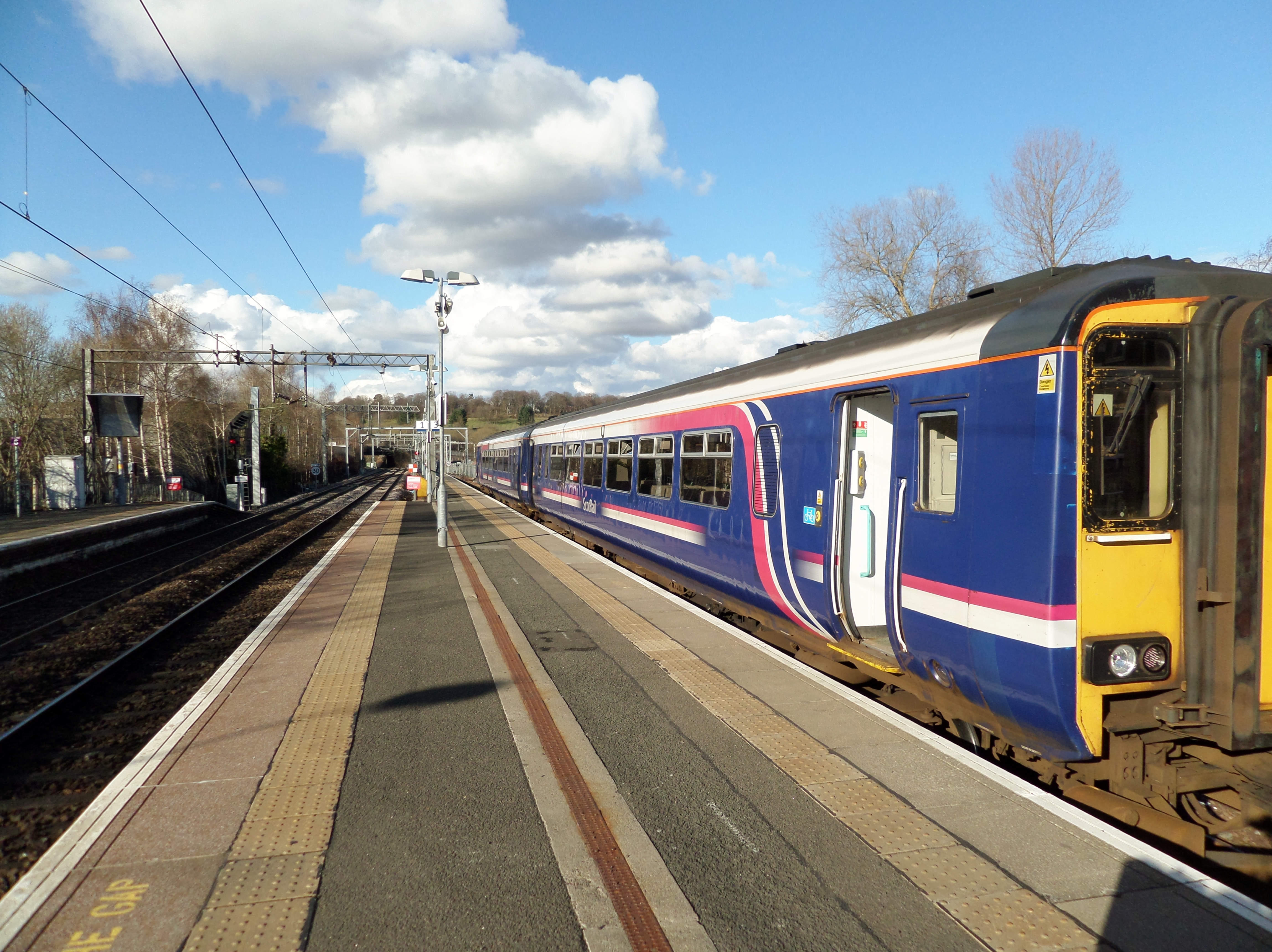
Dawsholm benefits from its proximity to Glasgow, with excellent transport links connecting the area to the city center and surrounding regions. The nearby Great Western Road provides easy access to the city, while the A81 road connects Dawsholm to other parts of Dunbartonshire.
Overall, Dawsholm is a peaceful and picturesque residential area, offering a convenient location close to Glasgow, while also providing access to green spaces and recreational amenities.
If you have any feedback on the listing, please let us know in the comments section below.
Dawsholm Images
Images are sourced within 2km of 55.893865/-4.3097669 or Grid Reference NS5569. Thanks to Geograph Open Source API. All images are credited.


Dawsholm is located at Grid Ref: NS5569 (Lat: 55.893865, Lng: -4.3097669)
Unitary Authority: City of Glasgow
Police Authority: Greater Glasgow
What 3 Words
///lines.spout.beats. Near Bearsden, East Dunbartonshire
Nearby Locations
Related Wikis

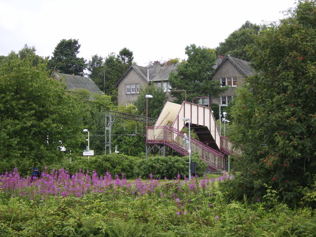
Kelvindale railway station
Kelvindale railway station is a railway station that serves the Kelvindale suburb of Glasgow, Scotland. It was opened on 26 September 2005 by Bill Butler...

Kelvindale
Kelvindale (Scottish Gaelic: Dail Chealbhainn) is a district in the West End of the city of Glasgow, Scotland. Kelvindale shares the G12 postcode with...

Dawsholm Park
Dawsholm Park is a public park in Glasgow, Scotland, adjoining the Kelvindale, Maryhill and Temple areas of the city, and southern parts of the town of...

Dawsholm railway station
Dawsholm Railway Station (Grid Reference NS562689) was a railway station in Glasgow, Scotland. The station opened for passengers on 1 October 1896 and...

Maryhill railway station
Maryhill railway station is a railway station serving the Maryhill area of Glasgow, Scotland. It is located on the Maryhill Line, 4+3⁄4 miles (7.6 km)...
Kelvinside Academicals RFC
Kelvinside Academicals is a former rugby union team that played their home games at Balgray Playing Fields, Glasgow, Scotland. The team was founded in...
Glasgow Hawks RFC
Glasgow Hawks is an amateur rugby union team in Glasgow, Scotland. They were Premiership Division One champions for three consecutive seasons from 2003...
Anniesland railway station
Anniesland railway station is a railway station that serves the Anniesland suburb of Glasgow, Scotland. The station is served by ScotRail as part of the...
Nearby Amenities
Located within 500m of 55.893865,-4.3097669Have you been to Dawsholm?
Leave your review of Dawsholm below (or comments, questions and feedback).