Acre
Settlement in Lanarkshire
Scotland
Acre
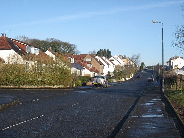
Acre is a small village located in the county of Lanarkshire, Scotland. Situated approximately 6 miles southeast of the town of Hamilton, Acre is nestled in a picturesque rural setting, surrounded by rolling hills and lush green fields. The village is well-connected to the nearby towns and cities, with good road links and public transportation options.
Acre is primarily a residential area, offering a tranquil and peaceful atmosphere for its residents. Housing in the village consists of a mix of traditional stone-built cottages and modern developments, providing a range of options for prospective homeowners. The community in Acre is close-knit and friendly, with a strong sense of local pride.
The village boasts a few local amenities, including a small convenience store and a village hall, which serves as a hub for community events and activities. Additionally, Acre benefits from its proximity to nearby towns, providing access to a wider range of services such as shops, schools, and healthcare facilities.
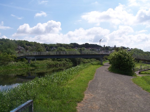
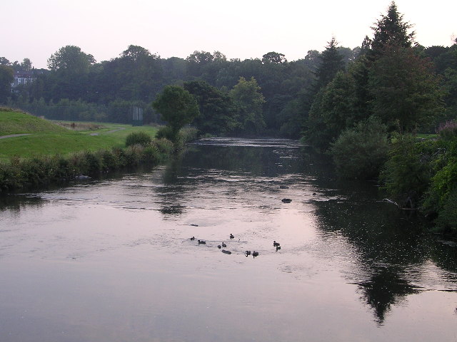
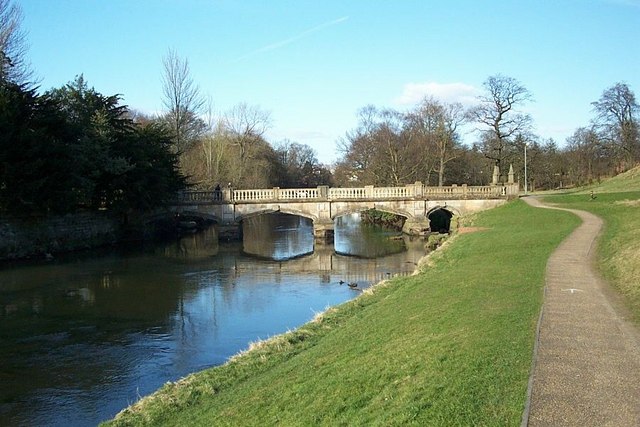
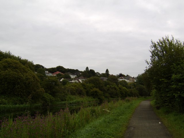
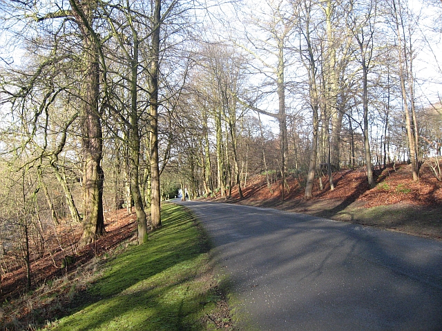
For those who enjoy outdoor activities, Acre offers plenty of opportunities to explore the surrounding countryside. The village is situated near several walking trails and nature reserves, allowing residents to enjoy scenic hikes and observe local wildlife. The nearby Clyde Valley and its picturesque gardens are also popular attractions for both locals and visitors.
Overall, Acre, Lanarkshire, is a charming village that offers a peaceful and picturesque living environment, while still providing easy access to essential amenities and the beautiful Scottish countryside.
If you have any feedback on the listing, please let us know in the comments section below.
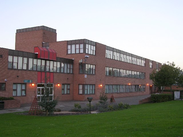
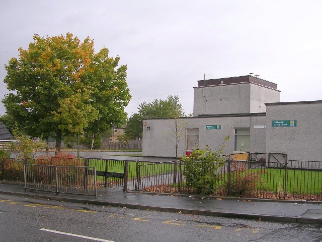
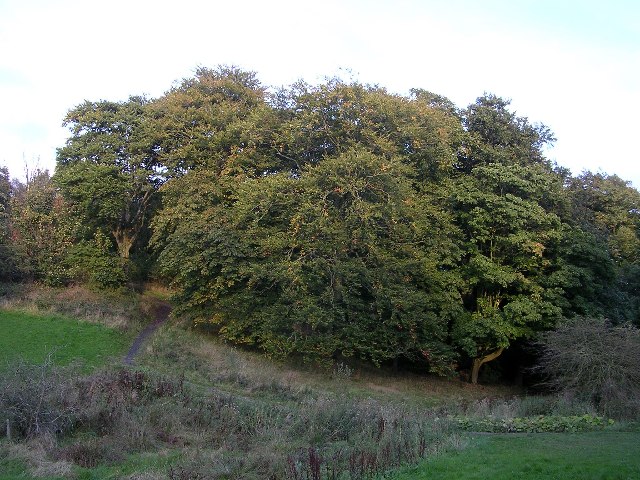
Acre Images
Images are sourced within 2km of 55.899065/-4.3051811 or Grid Reference NS5569. Thanks to Geograph Open Source API. All images are credited.


Acre is located at Grid Ref: NS5569 (Lat: 55.899065, Lng: -4.3051811)
Unitary Authority: City of Glasgow
Police Authority: Greater Glasgow
What 3 Words
///arts.format.lace. Near Bearsden, East Dunbartonshire
Nearby Locations
Related Wikis

Dawsholm Park
Dawsholm Park is a public park in Glasgow, Scotland, adjoining the Kelvindale, Maryhill and Temple areas of the city, and southern parts of the town of...

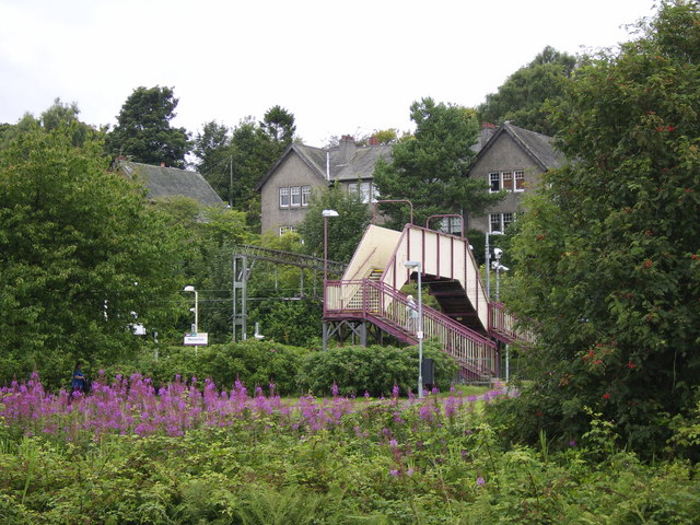
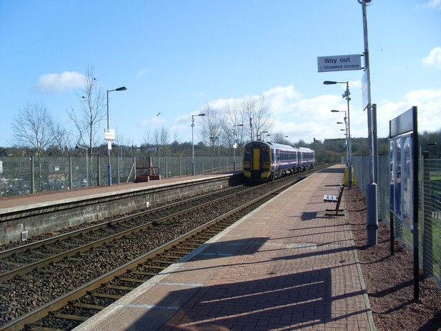
Maryhill railway station
Maryhill railway station is a railway station serving the Maryhill area of Glasgow, Scotland. It is located on the Maryhill Line, 4+3⁄4 miles (7.6 km)...

Maryhill Harp F.C.
Maryhill Harp Football Club were a Scottish football club based in the Maryhill area of Glasgow, who played in Scottish Junior Football Association competitions...
Glasgow University F.C.
Glasgow University Football Club are a Scottish football team that represents the University of Glasgow. The club was founded at a meeting of students...

Kelvindale railway station
Kelvindale railway station is a railway station that serves the Kelvindale suburb of Glasgow, Scotland. It was opened on 26 September 2005 by Bill Butler...
Glasgow University RFC
Glasgow University Rugby Football Club is a rugby union club at the University of Glasgow in Scotland. The men's side play in the university league; the...
Summerston railway station
Summerston railway station is a railway station serving the Summerston area of Glasgow, Scotland. It is located on the Maryhill Line, 4+1⁄4 miles (7 kilometres...
Dawsholm railway station
Dawsholm Railway Station (Grid Reference NS562689) was a railway station in Glasgow, Scotland. The station opened for passengers on 1 October 1896 and...
Nearby Amenities
Located within 500m of 55.899065,-4.3051811Have you been to Acre?
Leave your review of Acre below (or comments, questions and feedback).