Dawsholm Park
Settlement in Dunbartonshire
Scotland
Dawsholm Park
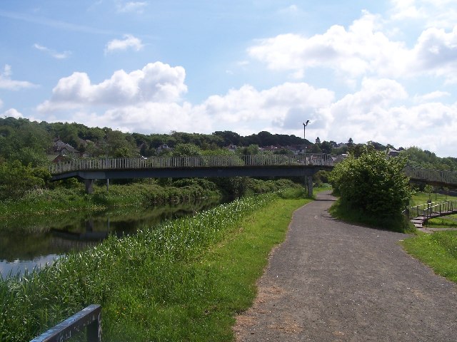
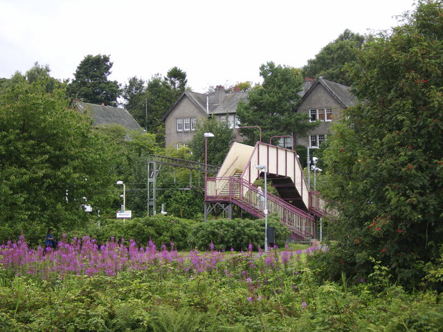
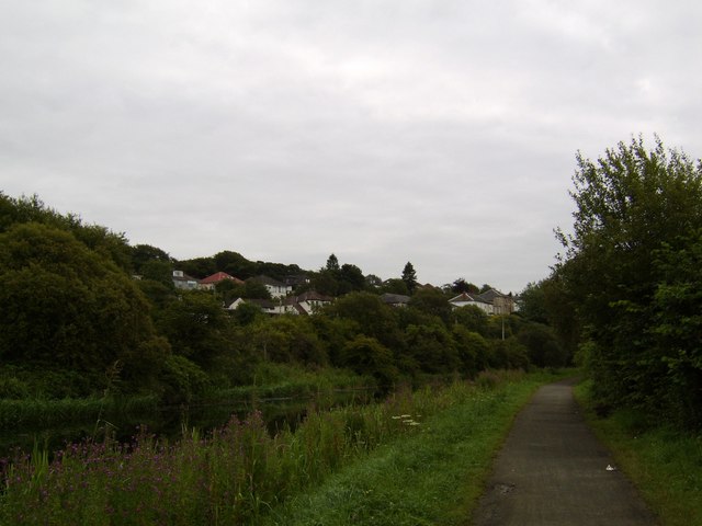
Dawsholm Park is a picturesque green space located in Dunbartonshire, Scotland. Spanning over 100 acres, this park offers a serene and tranquil escape from city life. Situated on the outskirts of Glasgow, it attracts both locals and tourists alike with its stunning natural beauty and diverse range of recreational activities.
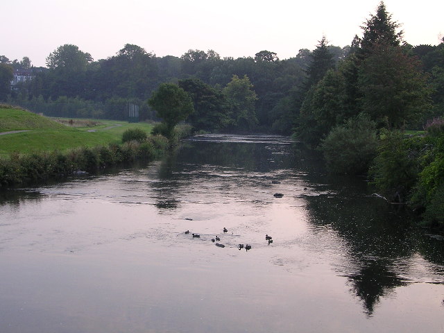
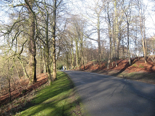
The park features a mix of woodlands, meadows, and wetlands, creating a rich and varied ecosystem. It is home to a plethora of wildlife, including birds, butterflies, and small mammals, making it a popular spot for nature enthusiasts and birdwatchers. The park's well-maintained walking trails offer visitors the opportunity to explore its scenic surroundings and immerse themselves in the soothing ambiance.
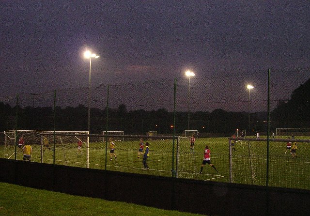
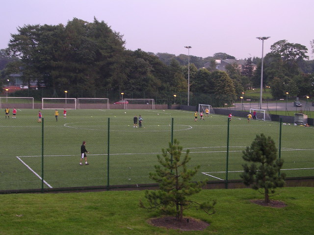
For those seeking a more active experience, Dawsholm Park provides ample facilities for various sports and leisure activities. There are open grassy areas perfect for picnics, as well as designated spaces for football, rugby, and cricket. Additionally, the park boasts a well-equipped children's playground, providing entertainment for younger visitors.
Dawsholm Park also has historical significance. It was once the site of Dawsholm House, a grand mansion that was demolished in the early 20th century. Some remnants of the estate, including the old walled garden, can still be seen today.
Overall, Dawsholm Park offers a harmonious blend of natural beauty, recreational opportunities, and historical charm. Whether one seeks a peaceful stroll amidst nature or an energetic game of football, this park provides a delightful experience for all.
If you have any feedback on the listing, please let us know in the comments section below.
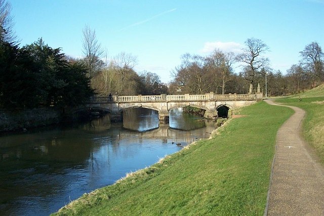
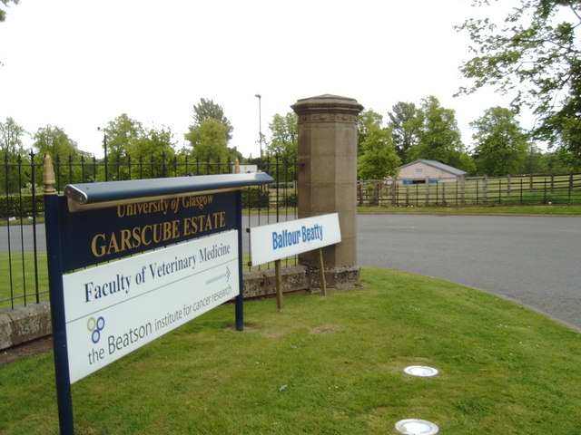
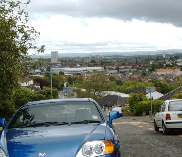
Dawsholm Park Images
Images are sourced within 2km of 55.892231/-4.3202097 or Grid Reference NS5569. Thanks to Geograph Open Source API. All images are credited.


Dawsholm Park is located at Grid Ref: NS5569 (Lat: 55.892231, Lng: -4.3202097)
Unitary Authority: City of Glasgow
Police Authority: Greater Glasgow
What 3 Words
///tigers.trains.unity. Near Bearsden, East Dunbartonshire
Nearby Locations
Related Wikis
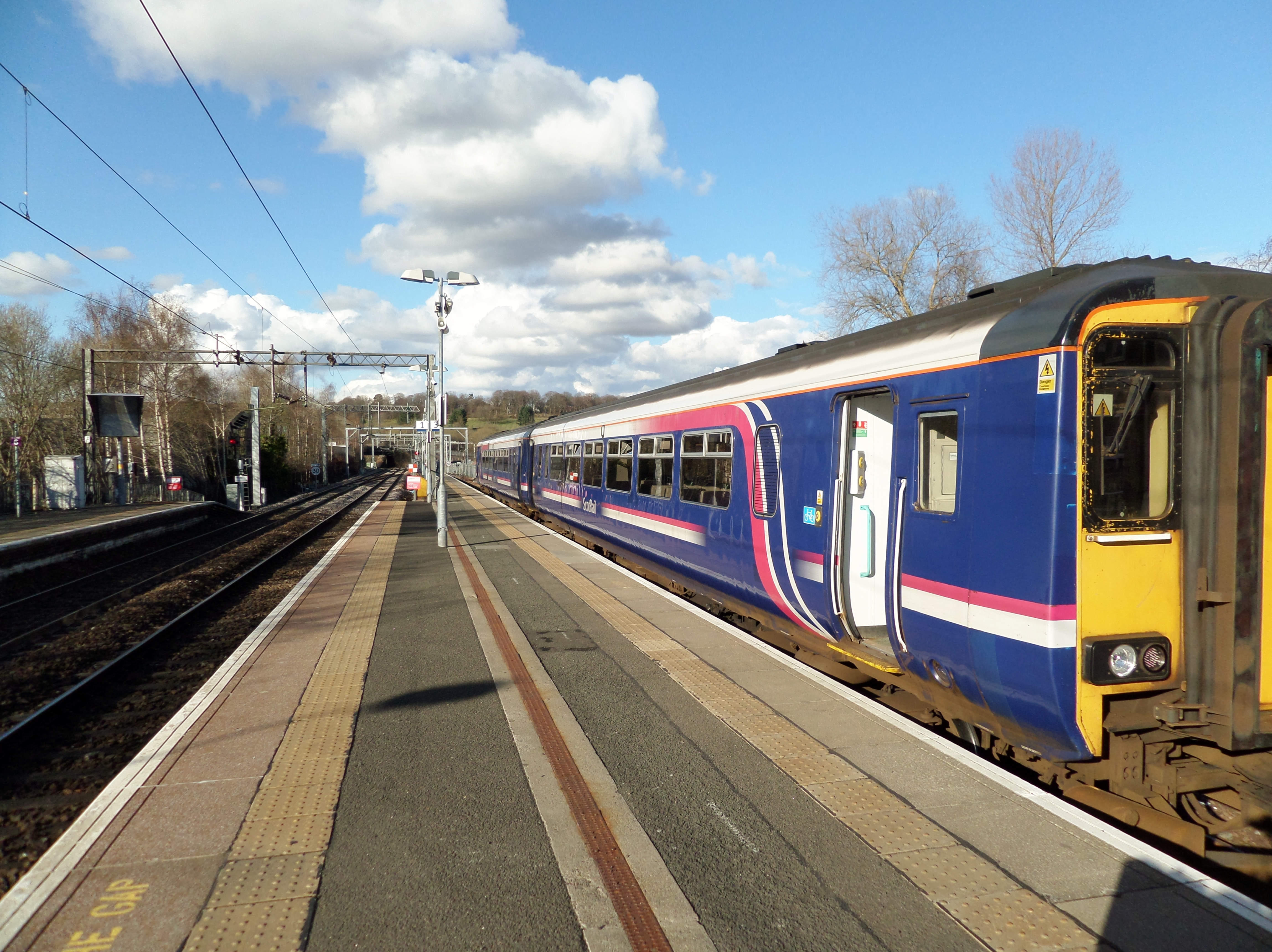
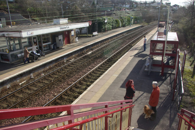
Anniesland railway station
Anniesland railway station is a railway station that serves the Anniesland suburb of Glasgow, Scotland. The station is served by ScotRail as part of the...
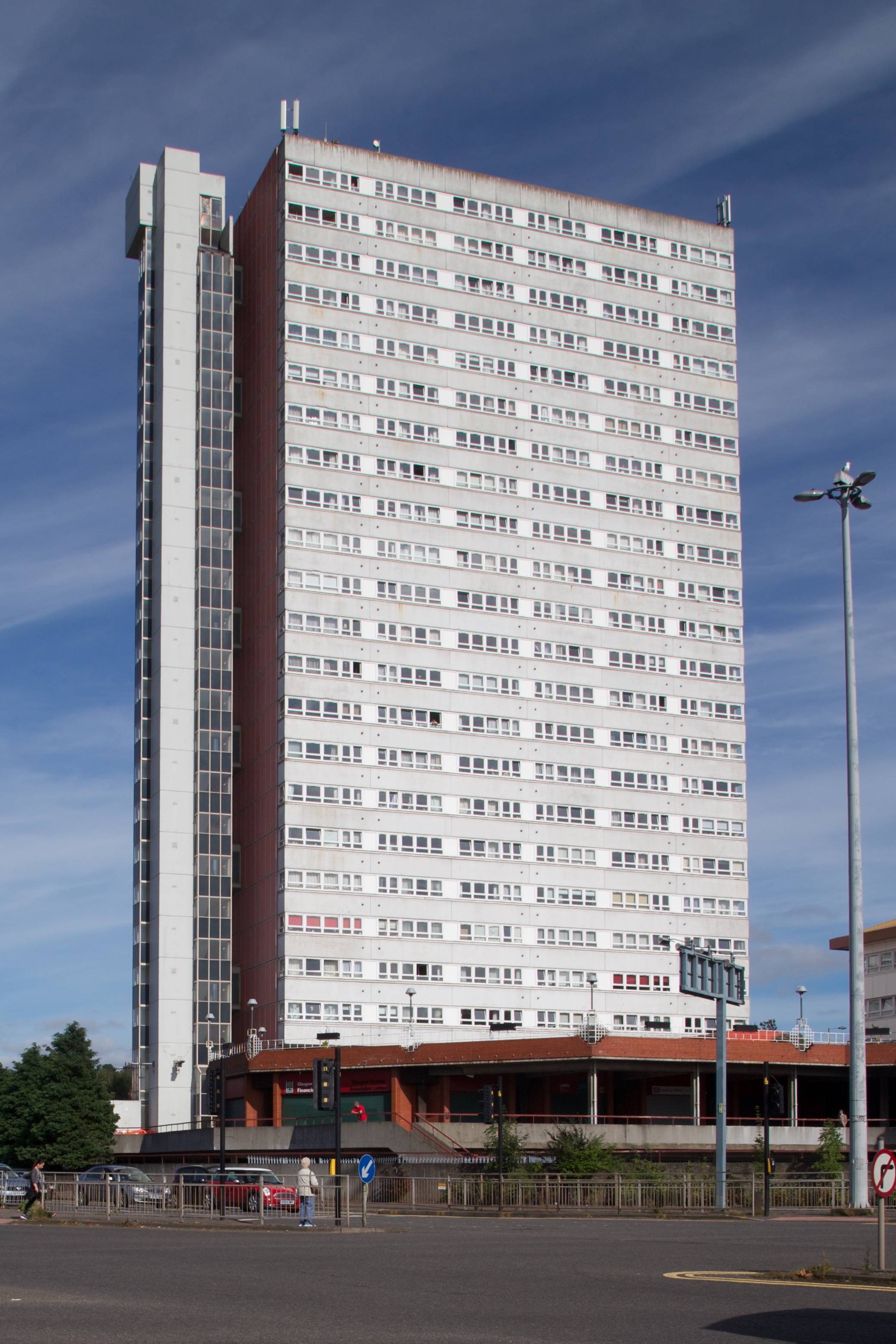
Anniesland Court
Anniesland Court is a 22-storey residential tower block in the Anniesland area of Glasgow, Scotland, designed by J Holmes & Partners and completed in 1968...

Temple, Glasgow
Temple is a neighbourhood of Glasgow located in the north of the city, bounded by Anniesland to the south, Knightswood to the west and Kelvindale to the...

Kelvindale railway station
Kelvindale railway station is a railway station that serves the Kelvindale suburb of Glasgow, Scotland. It was opened on 26 September 2005 by Bill Butler...
Nearby Amenities
Located within 500m of 55.892231,-4.3202097Have you been to Dawsholm Park?
Leave your review of Dawsholm Park below (or comments, questions and feedback).