Dawsmere
Settlement in Lincolnshire South Holland
England
Dawsmere
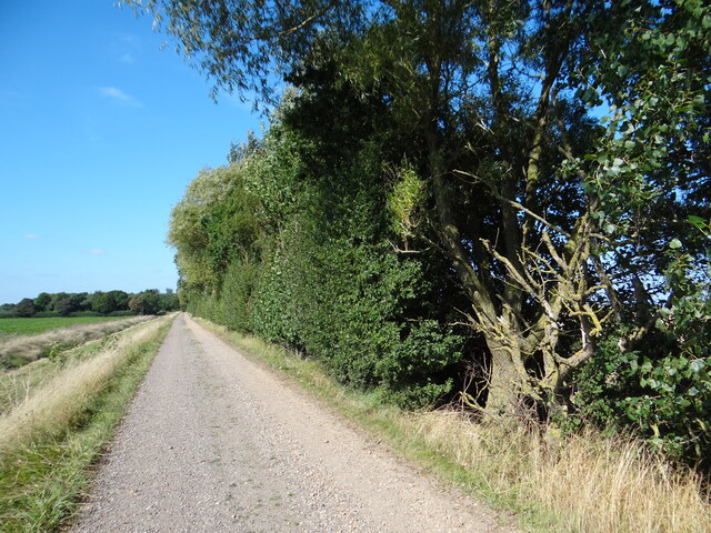
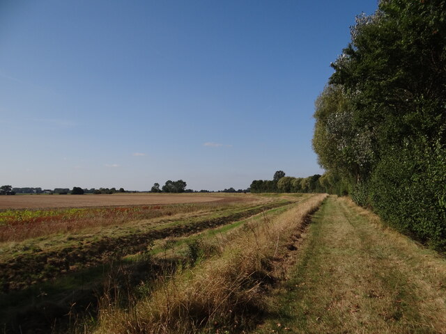
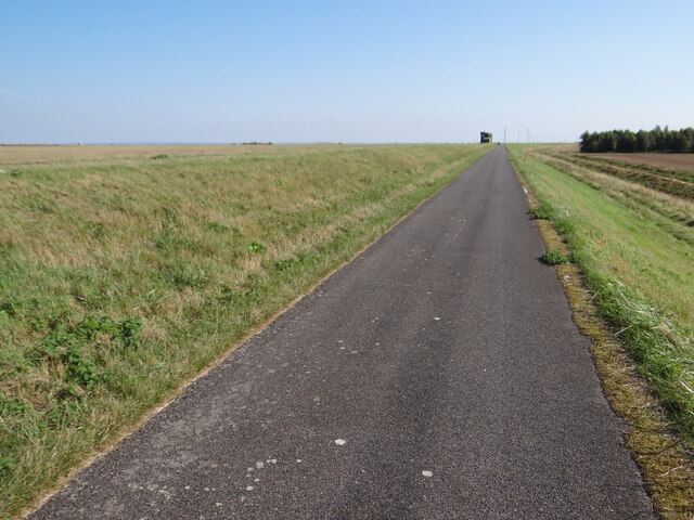
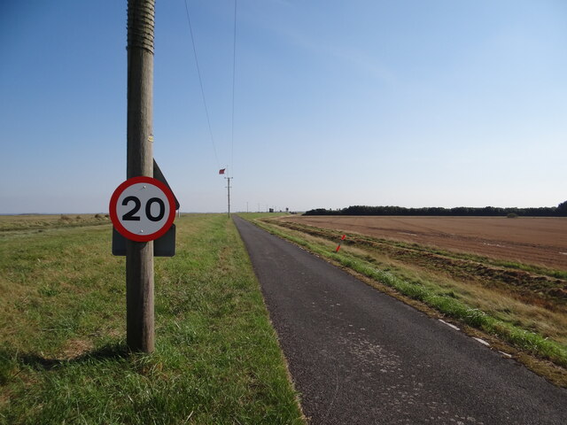
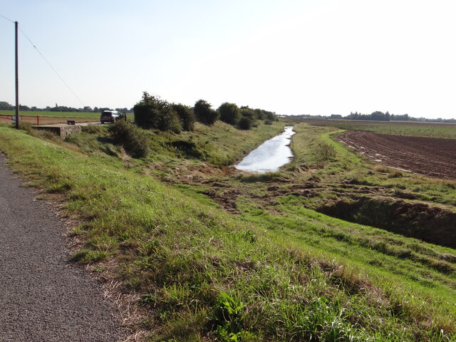
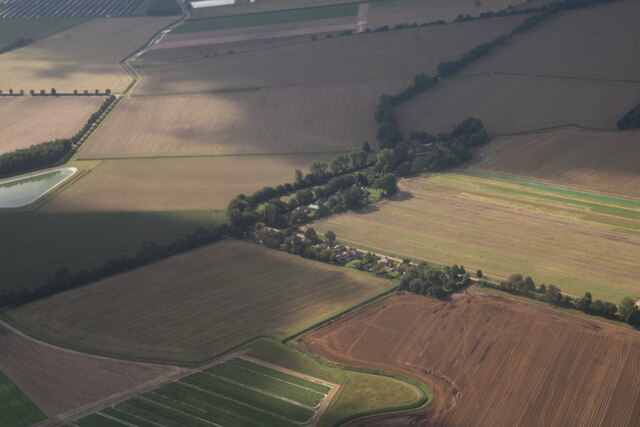
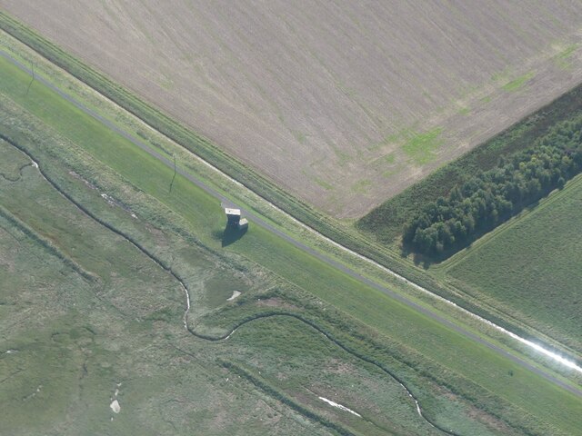
Dawsmere is a small village located in the county of Lincolnshire, England. Situated approximately 7 miles north-west of the town of Spalding, it falls within the South Holland district. The village is nestled in a rural area surrounded by picturesque farmland, offering residents a peaceful and idyllic countryside setting.
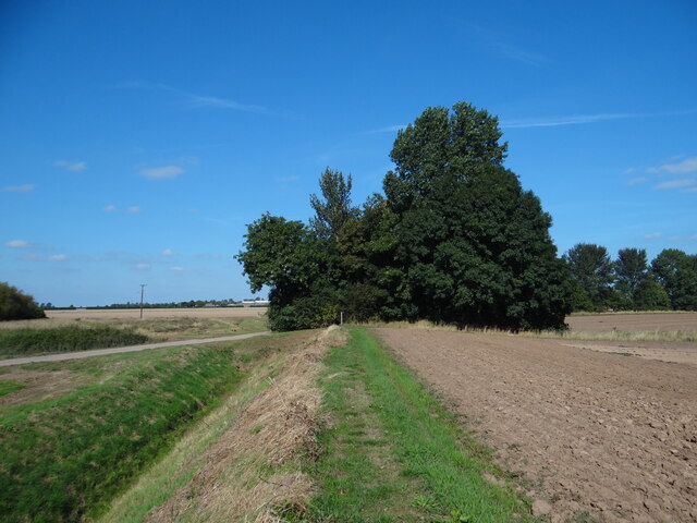
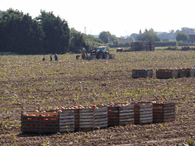
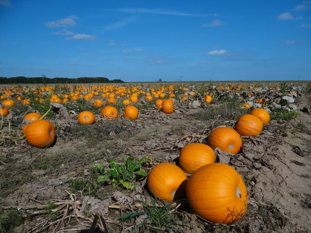
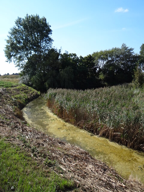
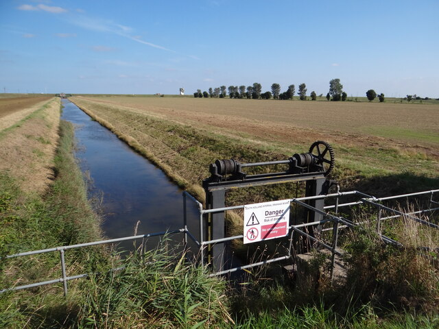
With a population of around 200 people, Dawsmere is a close-knit community known for its friendly and welcoming atmosphere. The village has a rich agricultural heritage, with farming being the primary occupation for many residents. This is reflected in the landscape, as the area is dominated by vast fields and meadows.
Dawsmere is home to a small but vibrant village hall, which serves as a social hub for the community. The hall hosts a range of events and activities throughout the year, including coffee mornings, craft fairs, and community gatherings. These events provide opportunities for locals to come together, fostering a strong sense of community spirit.
While Dawsmere itself does not have any shops or amenities, the nearby town of Spalding offers a range of services, including supermarkets, shops, and healthcare facilities. The village benefits from good transport links, with regular bus services connecting it to Spalding and other nearby towns.
Overall, Dawsmere is a charming and peaceful village, offering residents a tranquil rural lifestyle within easy reach of larger towns and amenities.
If you have any feedback on the listing, please let us know in the comments section below.
Dawsmere Images
Images are sourced within 2km of 52.850366/0.142937 or Grid Reference TF4430. Thanks to Geograph Open Source API. All images are credited.
Dawsmere is located at Grid Ref: TF4430 (Lat: 52.850366, Lng: 0.142937)
Division: Parts of Holland
Administrative County: Lincolnshire
District: South Holland
Police Authority: Lincolnshire
What 3 Words
///domain.printouts.mammoths. Near Fleet, Lincolnshire
Nearby Locations
Related Wikis

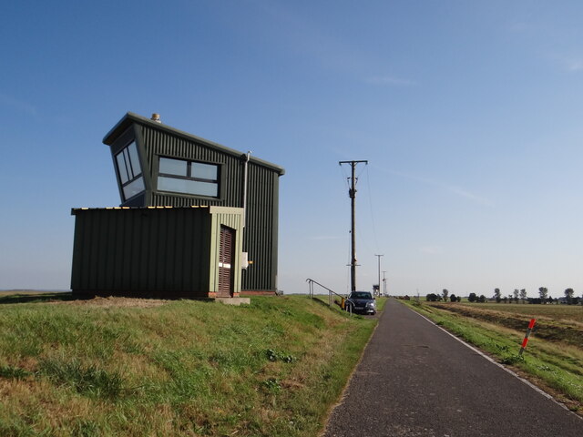
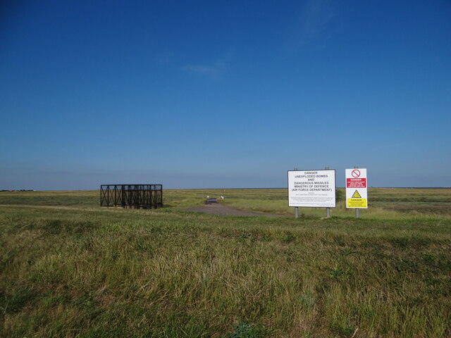
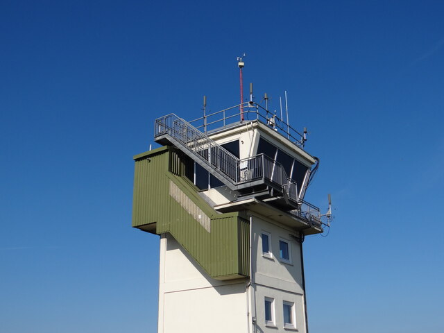
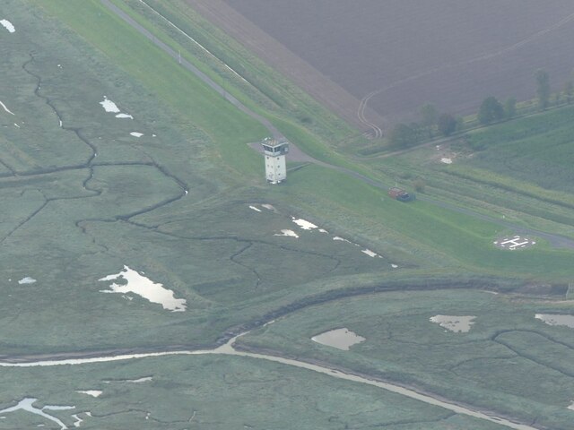
Holbeach Air Weapons Range
Holbeach Air Weapons Range is a United Kingdom Ministry of Defence academic air weapons range (AWR) situated between Boston and King's Lynn in the civil...

Gedney Drove End
Gedney Drove End is a village in the civil parish of Gedney and the South Holland district of Lincolnshire, England. It is 40 miles (64 km) south-east...

Holbeach St Matthew
Holbeach St Matthew is a small fenland village in the South Holland district of southern Lincolnshire, England. It lies 6 miles (10 km) north-east from...

Lutton, Lincolnshire
Lutton (sometimes Lutton-Bourne) is a village and civil parish in the South Holland district of Lincolnshire, England. The population of the civil parish...

Gedney Dyke
Gedney Dyke is a village in the civil parish of Gedney and the South Holland district of Lincolnshire, England. It is 40 miles (64 km) south-east from...
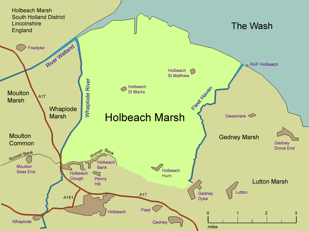
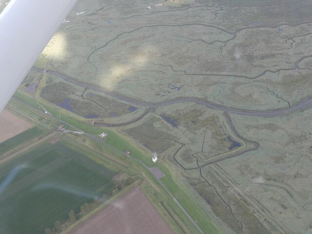
Holbeach Marsh
Holbeach Marsh is a fenland area in the South Holland district of Lincolnshire, England. Holbeach Marsh is situated between the market town of Holbeach...

River Nene
The River Nene ( or : see below) is a river in the east of England that rises from three sources in Northamptonshire. The river is about 105 miles (169...

Holbeach Hurn
Holbeach Hurn is a small fenland village in the civil parish of Holbeach in the South Holland district of southern Lincolnshire, England. It is 2.5 miles...
Related Videos

Awesome RAF Chinook at Holbeach Air Weapons Range live firing combat training. 4K
Feb 1st and I went to Holbeach AWR to hopefully see some rotary in action on the range and I wasn't disappointed. The Chinook ...
Nearby Amenities
Located within 500m of 52.850366,0.142937Have you been to Dawsmere?
Leave your review of Dawsmere below (or comments, questions and feedback).