Anglezarke
Civil Parish in Lancashire Chorley
England
Anglezarke
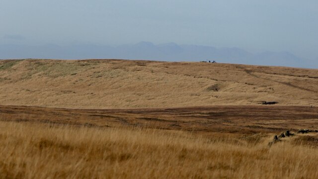
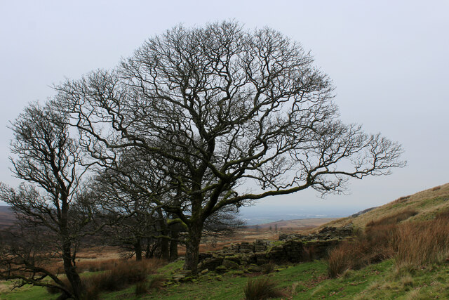
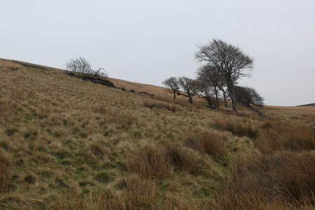
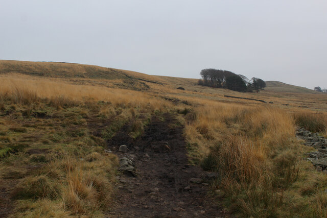
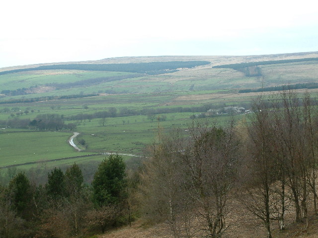
Anglezarke is a civil parish located in the county of Lancashire, England. It is situated within the West Pennine Moors, approximately 10 miles northwest of the city of Bolton. The parish covers an area of about 8 square miles and is surrounded by picturesque countryside, offering stunning views and a peaceful environment.
The village of Anglezarke itself is small and rural, with a population of around 200 residents. It is known for its charming stone-built cottages and historic buildings, which date back to the 17th and 18th centuries. The parish also includes several hamlets, such as White Coppice and Wheelton, which add to its unique character.
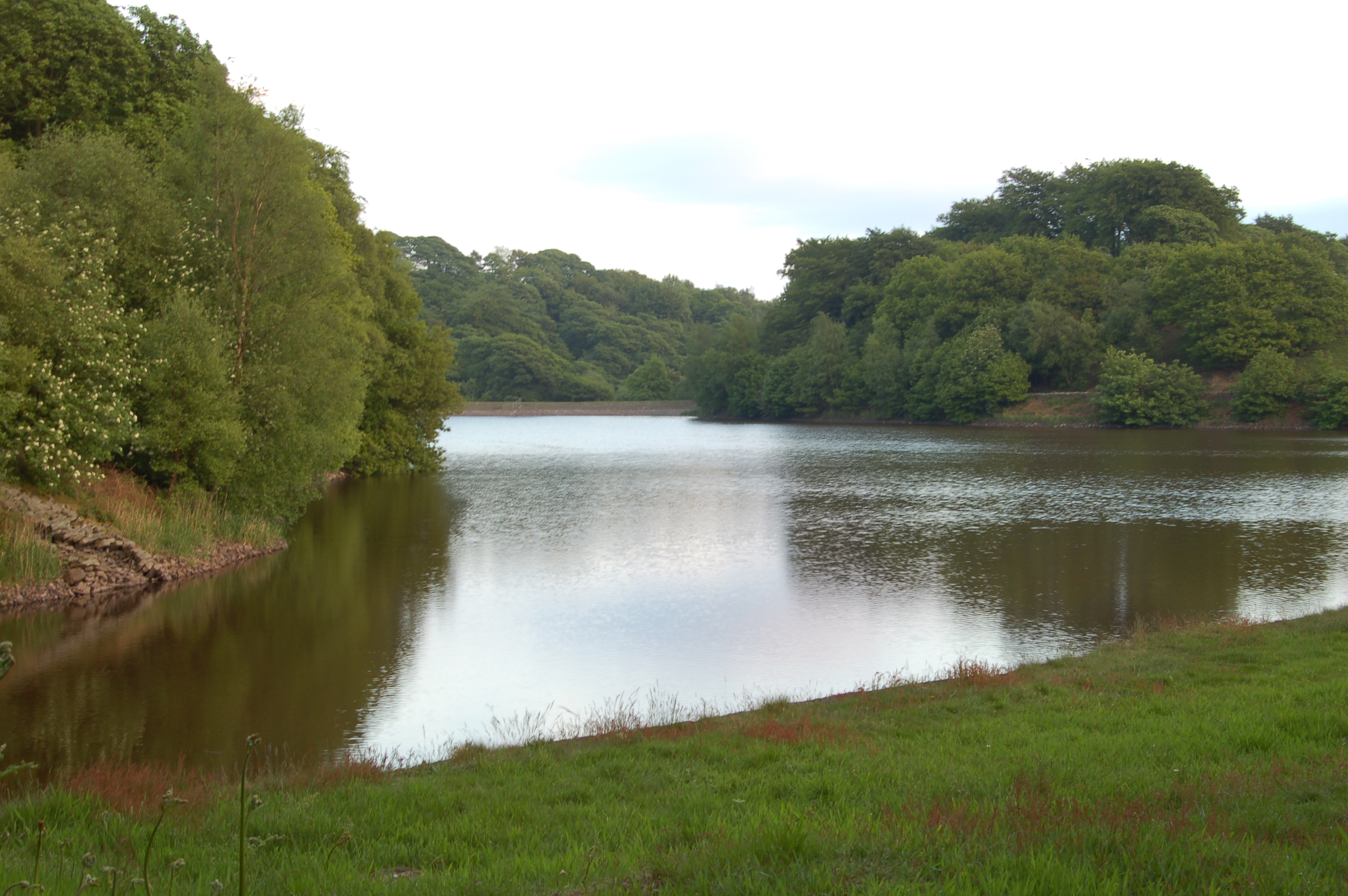
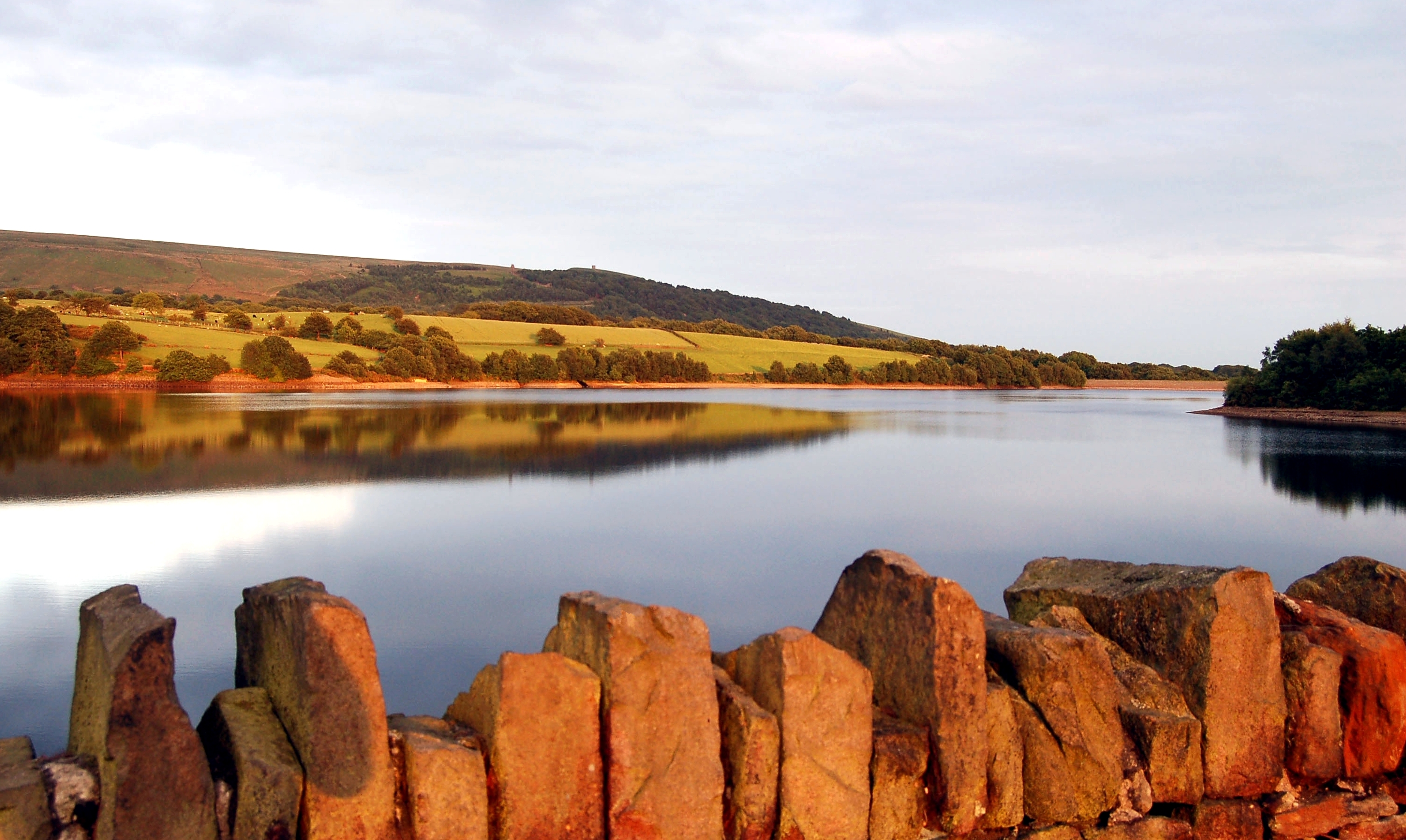
Nature lovers are drawn to Anglezarke for its scenic beauty and outdoor recreational opportunities. The area is home to several reservoirs, including Anglezarke Reservoir, Upper and Lower Rivington Reservoirs, and Yarrow Reservoir. These bodies of water provide opportunities for fishing, sailing, and birdwatching.
The West Pennine Moors, which surround Anglezarke, offer a range of walking and hiking trails, attracting visitors who enjoy exploring the unspoiled countryside. Popular routes include the Anglezarke Amble, a circular walk that takes in the reservoirs and surrounding hills.
Despite its rural setting, Anglezarke is well-connected to nearby towns and cities. The M61 motorway is easily accessible, providing convenient links to Manchester and Preston. The close proximity to urban areas allows residents to enjoy the tranquility of village life while still having access to amenities and services.
If you have any feedback on the listing, please let us know in the comments section below.
Anglezarke Images
Images are sourced within 2km of 53.652338/-2.556728 or Grid Reference SD6317. Thanks to Geograph Open Source API. All images are credited.


Anglezarke is located at Grid Ref: SD6317 (Lat: 53.652338, Lng: -2.556728)
Administrative County: Lancashire
District: Chorley
Police Authority: Lancashire
What 3 Words
///innovate.tasty.offstage. Near Chorley, Lancashire
Nearby Locations
Related Wikis
Hurst Hill
Hurst Hill is a location on Anglezarke Moor, within the West Pennine Moors of Lancashire, England. With a height of 317 metres (1,040 feet), the summit...
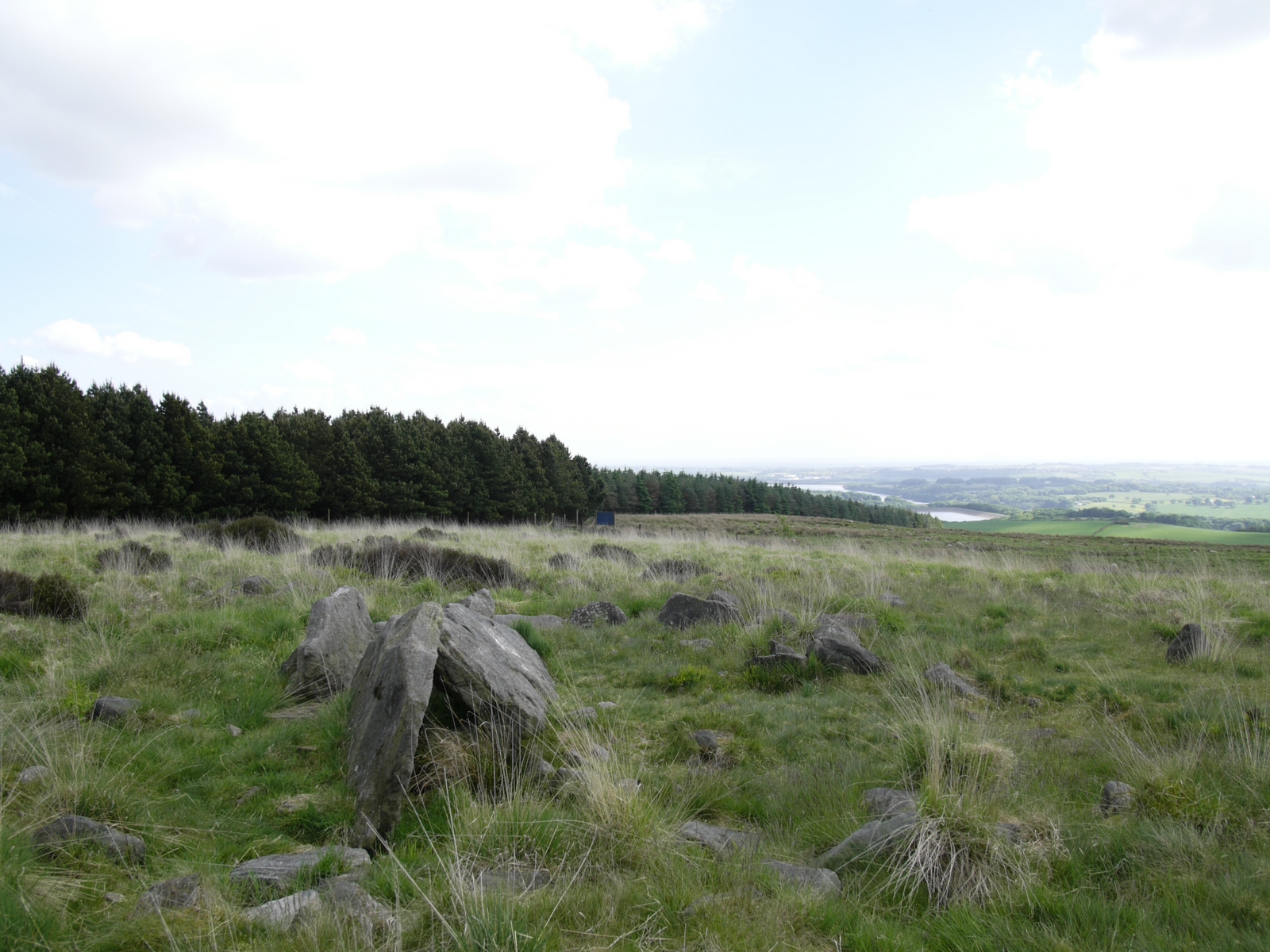
Pikestones
Pikestones is the remains of a Neolithic Burial Cairn, located on Anglezarke moor in Lancashire, England. The site is approximately 150 feet (45 metres...
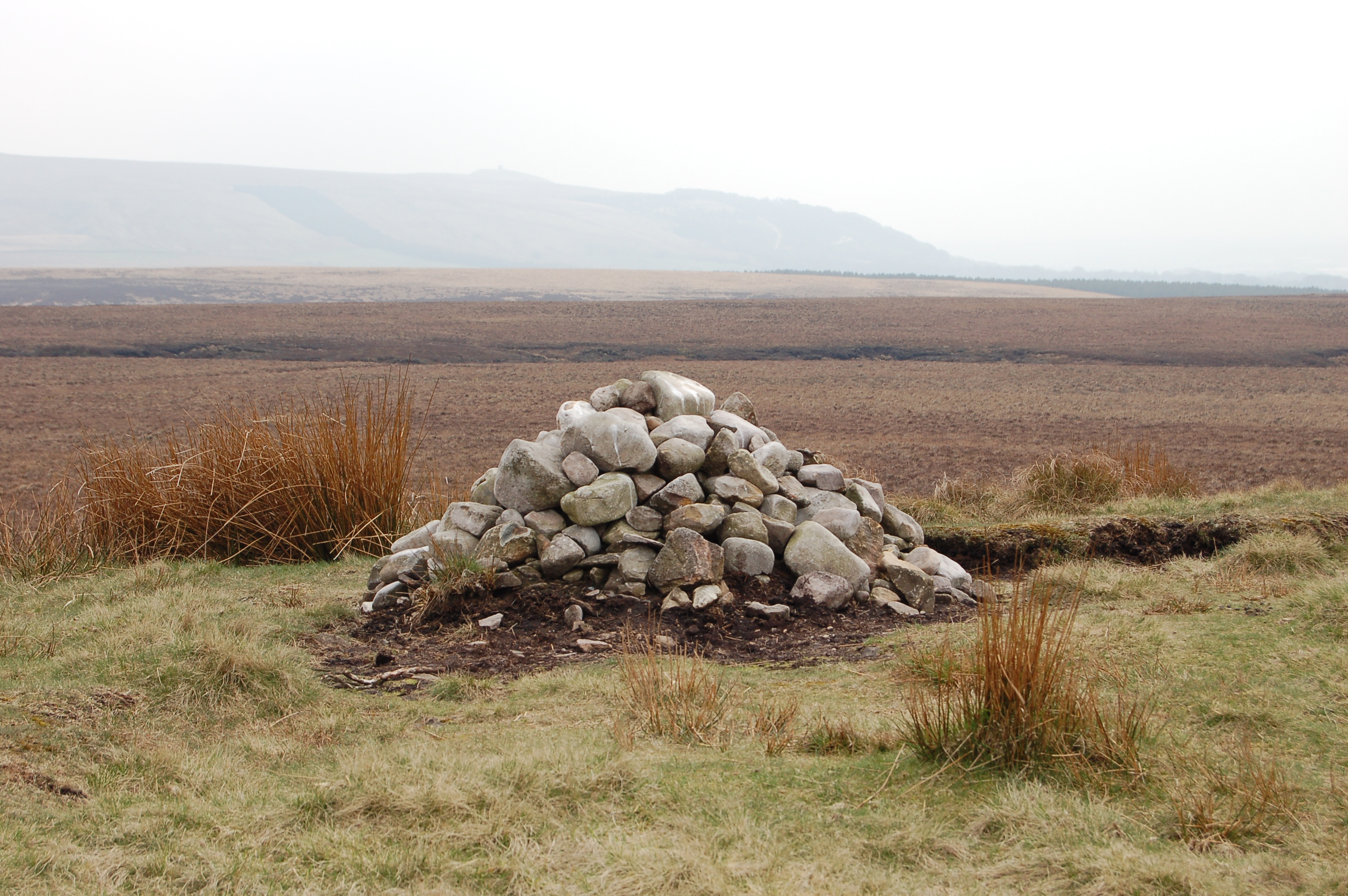
Round Loaf
Round Loaf is a late-Neolithic or Bronze Age tumulus on Anglezarke Moor in the West Pennine Moors near Chorley in Lancashire, England. The bowl barrow...

Grain Pole Hill
Grain Pole Hill is a location on Anglezarke Moor, near Chorley, within the West Pennine Moors of Lancashire, England. With a height of 285 metres (935...
Anglezarke
Anglezarke is a sparsely populated civil parish in the Borough of Chorley in Lancashire, England. It is an agricultural area used for sheep farming and...
High Bullough Reservoir
High Bullough Reservoir is the oldest of all the reservoirs in the Rivington chain, having been authorised by an Act of Parliament obtained in 1846 and...
Yarrow Reservoir
Yarrow Reservoir - named after the River Yarrow - is a reservoir in the Rivington chain in Anglezarke, Lancashire, England, and has a storage capacity...

Black Brook (Chorley)
Black Brook in Lancashire has its source at Great Hill in the West Pennine Moors. The water is acidic due to a high level of peat in the uplands near to...
Related Videos

Hiking & Wild camping around the stunning Rivington
Hiking around this beautiful place with so much to see there,. I just found out about it so had to have camp and see what was ...


Anglezarke Walk - Rivington, Chorley, Lancashire - 4K
Anglezarke is a large reservoir in Rivington, near Chorley, Lancashire. It was built in the mid-19th century to supply water to ...
Have you been to Anglezarke?
Leave your review of Anglezarke below (or comments, questions and feedback).