Anglezarke Moor
Downs, Moorland in Lancashire Chorley
England
Anglezarke Moor

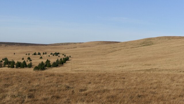
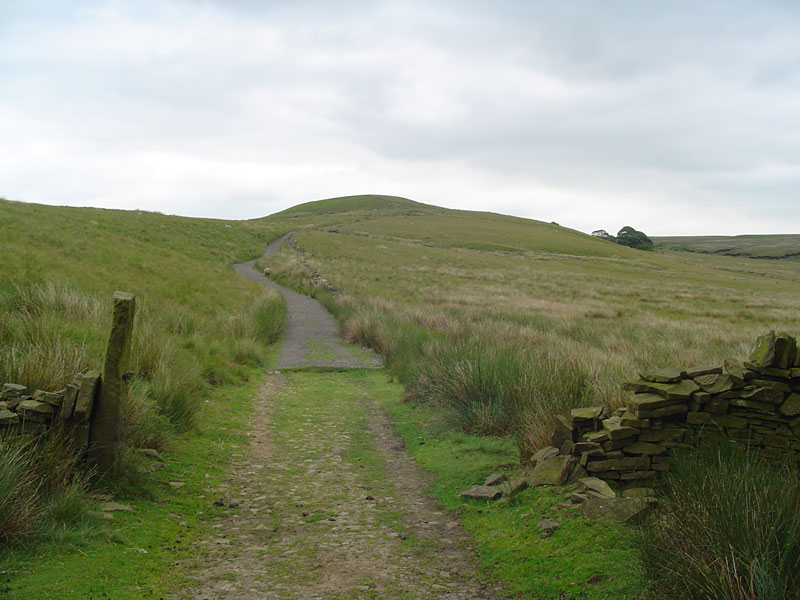
Anglezarke Moor is a vast expanse of moorland located in Lancashire, England. Covering an area of approximately 1,400 acres, it is situated within the West Pennine Moors, offering breathtaking views and a unique natural environment.
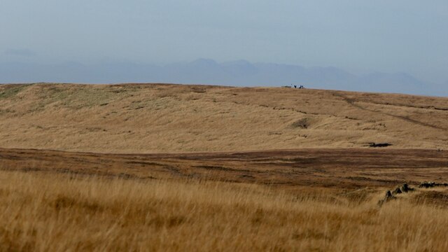
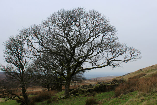
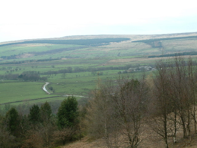
The moorland is characterized by its undulating terrain and a diverse range of habitats, including heathland, peat bog, and open grassland. It is home to a variety of plant and animal species, making it an area of significant ecological importance. Visitors to Anglezarke Moor can witness the vibrant colors of heather and gorse, especially during the summer months, which create a stunning scenery.
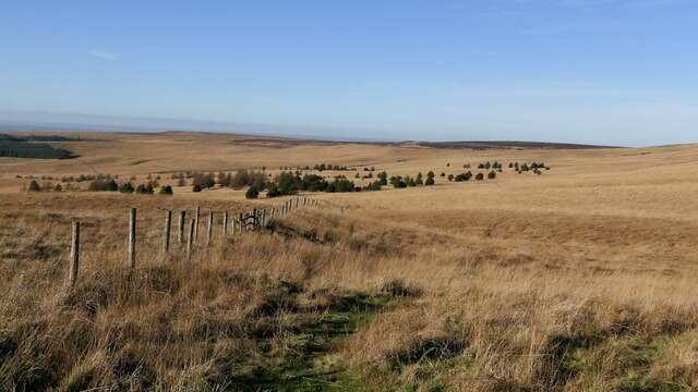
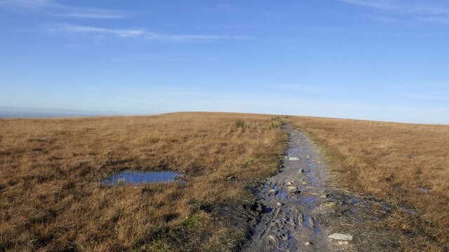
The moorland is crisscrossed by a network of footpaths and tracks, making it a popular destination for walkers, hikers, and nature enthusiasts. These paths provide access to the moor's hidden treasures, such as reservoirs, ancient cairns, and Bronze Age burial mounds. Moreover, the area is rich in historical remains, including the ruins of old farmhouses and the remains of mining activities from the Industrial Revolution.
Anglezarke Moor offers a tranquil escape from the hustle and bustle of city life. Its remote and wild landscape provides a sense of solitude and serenity, attracting those seeking a peaceful retreat. Furthermore, the moor provides ample opportunities for outdoor activities, such as birdwatching, mountain biking, and horse riding.
In conclusion, Anglezarke Moor is a magnificent expanse of moorland in Lancashire, offering a diverse range of habitats, stunning natural scenery, and a wealth of historical and ecological significance. It is a haven for outdoor enthusiasts and a place where one can truly connect with nature.
If you have any feedback on the listing, please let us know in the comments section below.
Anglezarke Moor Images
Images are sourced within 2km of 53.651094/-2.5466496 or Grid Reference SD6317. Thanks to Geograph Open Source API. All images are credited.


Anglezarke Moor is located at Grid Ref: SD6317 (Lat: 53.651094, Lng: -2.5466496)
Administrative County: Lancashire
District: Chorley
Police Authority: Lancashire
What 3 Words
///sobs.sharp.scorecard. Near Brinscall, Lancashire
Nearby Locations
Related Wikis
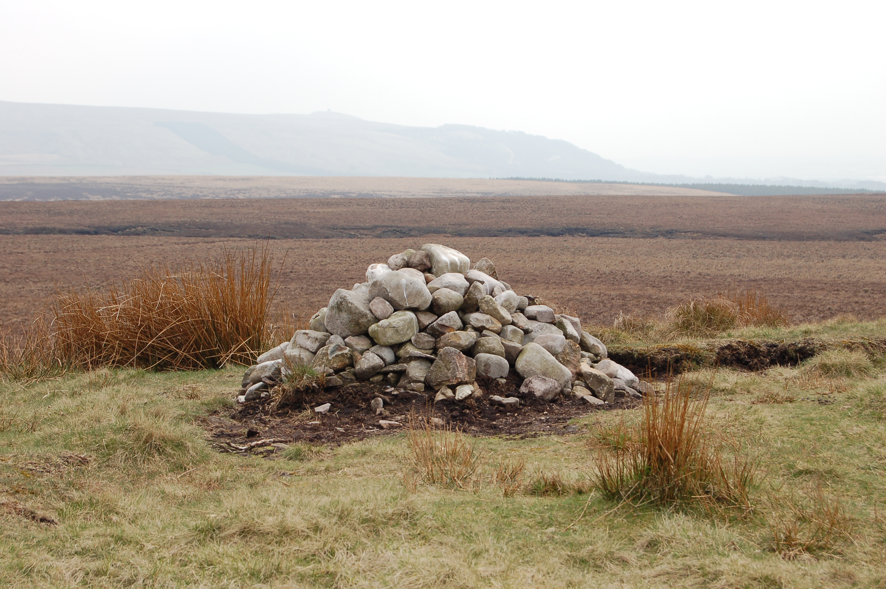
Round Loaf
Round Loaf is a late-Neolithic or Bronze Age tumulus on Anglezarke Moor in the West Pennine Moors near Chorley in Lancashire, England. The bowl barrow...
Hurst Hill
Hurst Hill is a location on Anglezarke Moor, within the West Pennine Moors of Lancashire, England. With a height of 317 metres (1,040 feet), the summit...
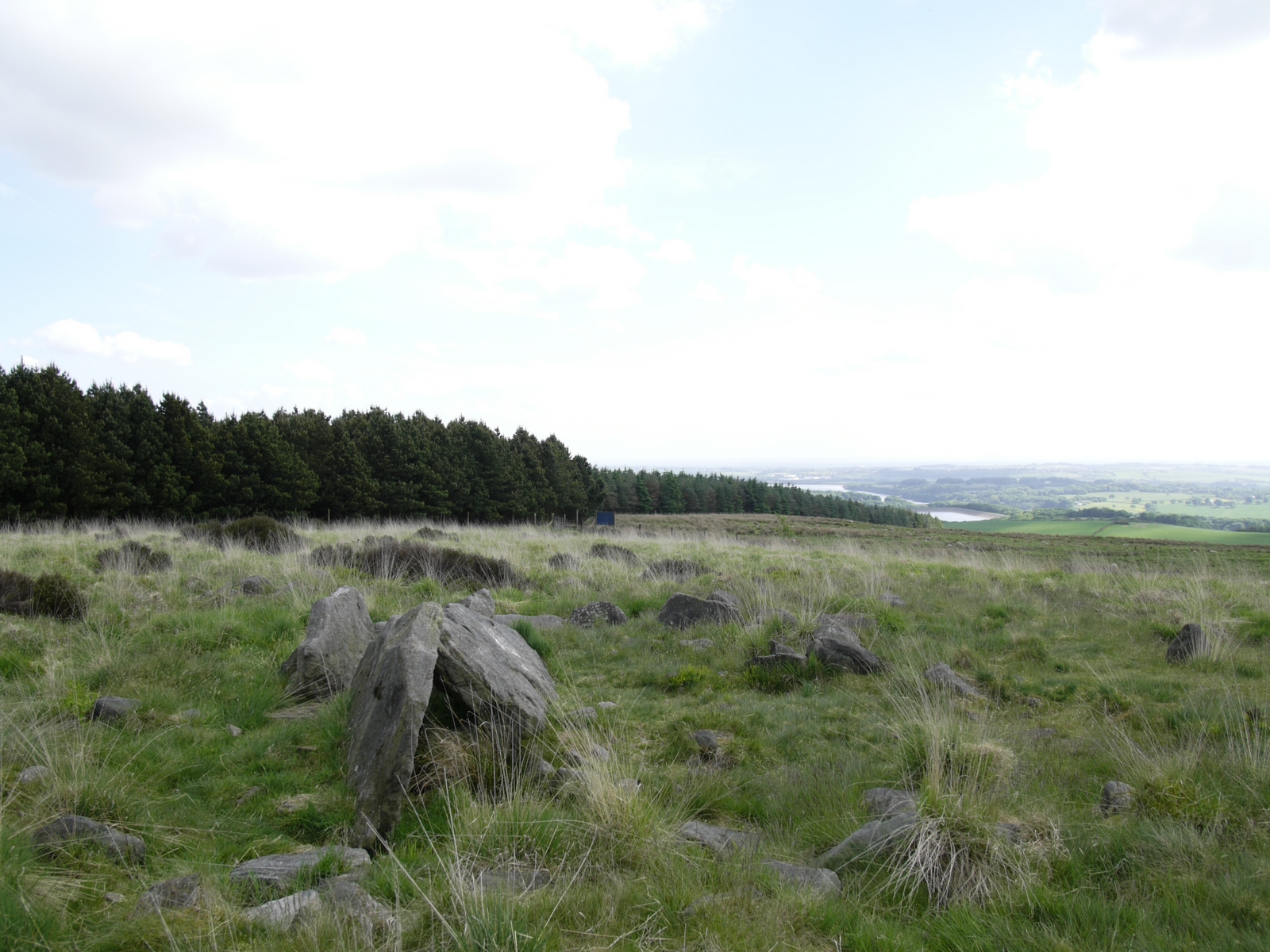
Pikestones
Pikestones is the remains of a Neolithic Burial Cairn, located on Anglezarke moor in Lancashire, England. The site is approximately 150 feet (45 metres...

Spitlers Edge
Spitlers Edge is a ridge running along the eastern edge of Anglezarke Moor, Chorley, Lancashire, England from Standing Stones Hill to Hordern Stoops....
Grain Pole Hill
Grain Pole Hill is a location on Anglezarke Moor, near Chorley, within the West Pennine Moors of Lancashire, England. With a height of 285 metres (935...
Anglezarke
Anglezarke is a sparsely populated civil parish in the Borough of Chorley in Lancashire, England. It is an agricultural area used for sheep farming and...

Black Brook (Chorley)
Black Brook in Lancashire has its source at Great Hill in the West Pennine Moors. The water is acidic due to a high level of peat in the uplands near to...
Great Hill
Great Hill is a hill in Lancashire, England, on Anglezarke Moor, between the towns of Chorley and Darwen. It is part of the West Pennine Moors and lies...
Nearby Amenities
Located within 500m of 53.651094,-2.5466496Have you been to Anglezarke Moor?
Leave your review of Anglezarke Moor below (or comments, questions and feedback).