Johnny Hall's Trees

Downs, Moorland in Westmorland Eden

England

Johnny Hall's Trees

Bridge for access to Flass House Footpath from Maulds Meaburn towards Crosby Ravensworth alongside the grounds of Flass House.
Bridge for access to Flass House Credit: mauldy

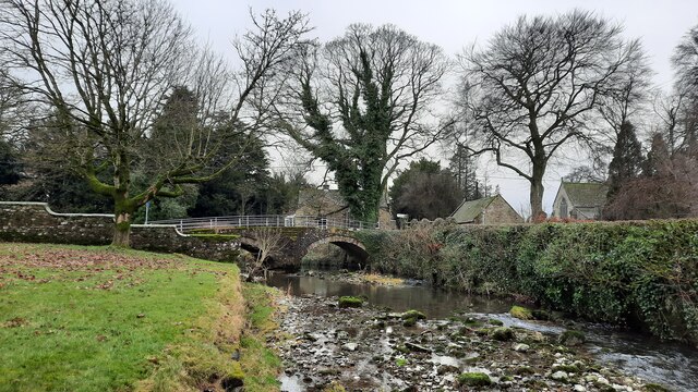
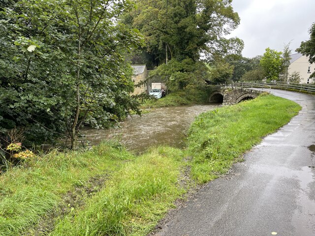
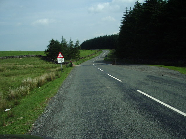
Johnny Hall's Trees is a picturesque woodland located in the region of Westmorland, encompassing the stunning landscapes of the Downs and the Moorland. Spanning over a significant area, this woodland is a haven for nature enthusiasts and explorers alike.

The woodland is characterized by its diverse and thriving collection of trees, creating a mesmerizing tapestry of colors throughout the changing seasons. From towering oak trees to delicate birches, the variety of species found here is truly remarkable. These trees provide a vital habitat for numerous bird species, including woodpeckers, thrushes, and owls, making it a perfect spot for birdwatchers to observe and appreciate these fascinating creatures in their natural environment.

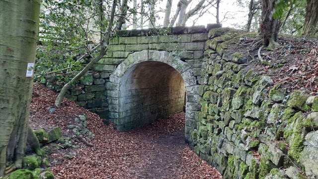
Traversing through Johnny Hall's Trees, visitors can expect to encounter well-maintained footpaths and trails that meander through the woodland, allowing for scenic walks and hikes. The terrain varies, with some areas gently sloping and others more rugged, providing a suitable challenge for outdoor enthusiasts of all levels.

In addition to its natural beauty, Johnny Hall's Trees also offers a range of recreational activities. There are designated picnic areas, where families and friends can relax and enjoy a meal amidst the tranquil surroundings. For those seeking a bit more adventure, the woodland has designated areas for camping and outdoor sports such as orienteering and geocaching.

Overall, Johnny Hall's Trees in Westmorland is a captivating woodland that offers a rich and diverse natural environment for visitors to explore. With its stunning array of trees, abundant wildlife, and recreational opportunities, it is a must-visit destination for nature lovers and outdoor enthusiasts in the region.

If you have any feedback on the listing, please let us know in the comments section below.

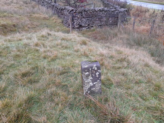
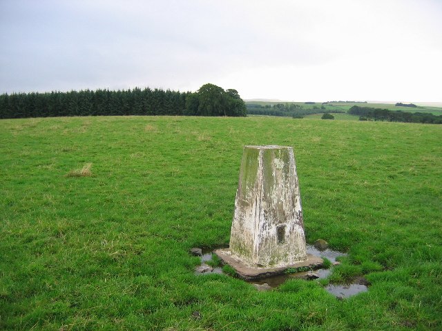
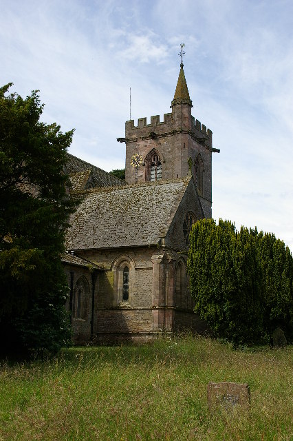
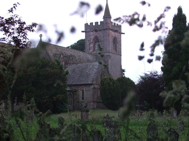
Johnny Hall's Trees Images

Images are sourced within 2km of 54.524766/-2.5581529 or Grid Reference NY6314. Thanks to Geograph Open Source API. All images are credited.

Bridge for access to Flass House Footpath from Maulds Meaburn towards Crosby Ravensworth alongside the grounds of Flass House.
Bridge for access to Flass House
Footpath from Maulds Meaburn towards Crosby Ravensworth alongside the grounds of Flass House.
Monk's Bridge Bridge over Lyvennet Beck in Crosby Ravensworth. On the far side of the bridge Dalebanks Beck joins the Lyvennet.
Monk's Bridge
Bridge over Lyvennet Beck in Crosby Ravensworth. On the far side of the bridge Dalebanks Beck joins the Lyvennet.
Crosby Ravensworth Ford This is the fourth ford at Crosby Ravensworth.
Crosby Ravensworth Ford
This is the fourth ford at Crosby Ravensworth.
Ordnance Survey Cut Mark This OS cut mark can be found on Monks Bridge House. It marks a point 182.176m above mean sea level.
Ordnance Survey Cut Mark
This OS cut mark can be found on Monks Bridge House. It marks a point 182.176m above mean sea level.
Ordnance Survey Cut Mark This OS cut mark can be found on SW angle of St Lawrence's Church. It marks a point 608.3ft above mean sea level.
Ordnance Survey Cut Mark
This OS cut mark can be found on SW angle of St Lawrence's Church. It marks a point 608.3ft above mean sea level.
Ordnance Survey Cut Mark This OS cut mark can be found on the gatepost north side of the track. It marks a point 218.627m above mean sea level.
Ordnance Survey Cut Mark
This OS cut mark can be found on the gatepost north side of the track. It marks a point 218.627m above mean sea level.
Ordnance Survey Pivot This OS pivot can be found on the wall SE side of the road. It marks a point 200.786m above mean sea level.
Ordnance Survey Pivot
This OS pivot can be found on the wall SE side of the road. It marks a point 200.786m above mean sea level.
Ordnance Survey Pivot This OS pivot can be found on the wall NE side of the road. It marks a point 280.801m above mean sea level.
Ordnance Survey Pivot
This OS pivot can be found on the wall NE side of the road. It marks a point 280.801m above mean sea level.
Ordnance Survey Pivot This OS pivot can be found on the wall at the road junction. It marks a point 285.251m above mean sea level.
Ordnance Survey Pivot
This OS pivot can be found on the wall at the road junction. It marks a point 285.251m above mean sea level.
Boundary Stone The Ordnance Survey pivot marks a point 290.454m above mean sea level.
Boundary Stone
The Ordnance Survey pivot marks a point 290.454m above mean sea level.
Ordnance Survey Rivet This OS rivet can be found on the boulder west side of the road. It marks a point 309.181m above mean sea level.
Ordnance Survey Rivet
This OS rivet can be found on the boulder west side of the road. It marks a point 309.181m above mean sea level.
Boundary Stone The Ordnance Survey rivet on the top of the stone marks a point 310.271m above mean sea level.
Boundary Stone
The Ordnance Survey rivet on the top of the stone marks a point 310.271m above mean sea level.
Old Boundary Marker beside the B6260 in Crosby Ravensworth Estate Boundary Marker in a pasture west of the B6260 and Maskriggs Wood. Inscribed B & R, and probably C R similar to WE_CRR03em, see <a title="https://www.geograph.org.uk/photo/6462527" href="https://www.geograph.org.uk/photo/6462527">Link</a>. See also <a title="https://www.geograph.org.uk/photo/7641917" href="https://www.geograph.org.uk/photo/7641917">Link</a>.

Although both these markers are now in Crosby Ravensworth parish, they were until 1935 on the boundary of that parish and Bank Moor, which was common to both Crosby Ravensworth and Asby parishes. C R almost certainly references Crosby Ravensworth but B & R has been taken to refer to the those who held rights on the moor, of which the right of pasture is the most obvious. 

Milestone Society National ID: WE_CRR04em
Old Boundary Marker beside the B6260 in Crosby Ravensworth
Estate Boundary Marker in a pasture west of the B6260 and Maskriggs Wood. Inscribed B & R, and probably C R similar to WE_CRR03em, see Link. See also Link. Although both these markers are now in Crosby Ravensworth parish, they were until 1935 on the boundary of that parish and Bank Moor, which was common to both Crosby Ravensworth and Asby parishes. C R almost certainly references Crosby Ravensworth but B & R has been taken to refer to the those who held rights on the moor, of which the right of pasture is the most obvious. Milestone Society National ID: WE_CRR04em
Maulds Meaburn Moor
Maulds Meaburn Moor
St Lawrence Church Crosby Ravensworth
St Lawrence church Crosby Ravensworth
Maulds Meaburn from Meaburn Edge
Cattle Grid This is where the B6260 becomes a walled road again after crossing open moorland since Orton Scar
Cattle Grid
This is where the B6260 becomes a walled road again after crossing open moorland since Orton Scar
Show me another place!

Johnny Hall's Trees is located at Grid Ref: NY6314 (Lat: 54.524766, Lng: -2.5581529)

Administrative County: Cumbria

District: Eden

Police Authority: Cumbria

What 3 Words

///hips.exits.chicken. Near Appleby-in-Westmorland, Cumbria

Related Wikis

Flass

Flass, also called Flass House, is a large Grade II* listed house near the village of Maulds Meaburn, Cumbria, England. It was built in the 19th century...

St Lawrence's Church, Crosby Ravensworth

St Lawrence's Church is in the village of Crosby Ravensworth, Cumbria, England. It is an active Anglican parish church in the deanery of Appleby, the...

Crosby Ravensworth

Crosby Ravensworth is a village and civil parish in the Eden district of Cumbria, England. The village is about 4 miles (6.4 km) east of the M6 motorway...

Maulds Meaburn

Maulds Meaburn (English: ) is a village in Cumbria, England. It is located in the Lyvennet Valley and Yorkshire Dales National Park and is 13 miles from...

Drybeck

Drybeck is a hamlet in the Eden district in the English county of Cumbria. It is near the town of Appleby-in-Westmorland. It is on Dry Beck and has a...

Westmorland

Westmorland (, formerly also spelt Westmoreland) is a historic county in North West England spanning the southern Lake District and the northern Dales...
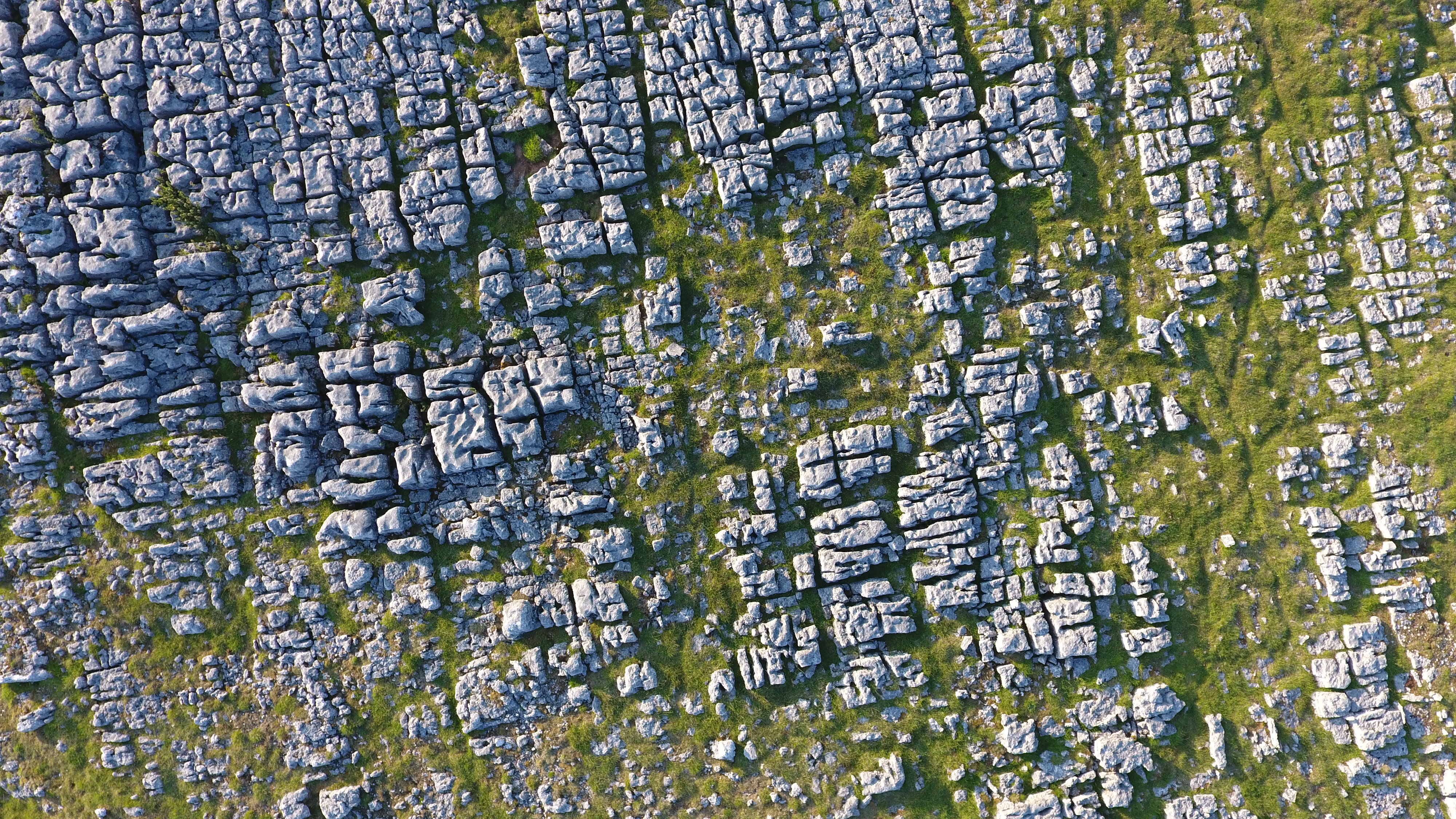
Orton Fells

The Orton Fells is an upland area in Northern England, mostly consisting of limestone hills, plateaus and moorlands. Historically in Westmorland, the area...

Great Asby

Great Asby is a village in Cumbria, England. Historically part of Westmorland, it is located approximately 15 miles (24 km) south east of Penrith and approximately...

Have you been to Johnny Hall's Trees?

Leave your review of Johnny Hall's Trees below (or comments, questions and feedback).