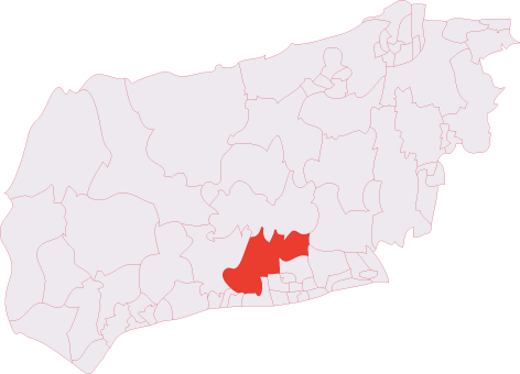
Angmering
Civil Parish in Sussex Arun
England
Angmering

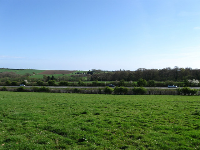
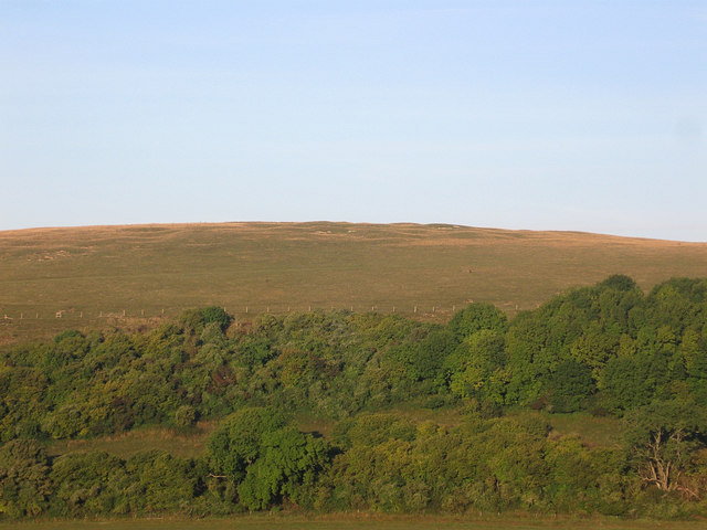
Angmering is a civil parish located in the county of West Sussex, England. It is situated in the South Downs National Park, approximately 58 miles south of London. The parish covers an area of around 12 square miles and is bordered by the English Channel to the south.
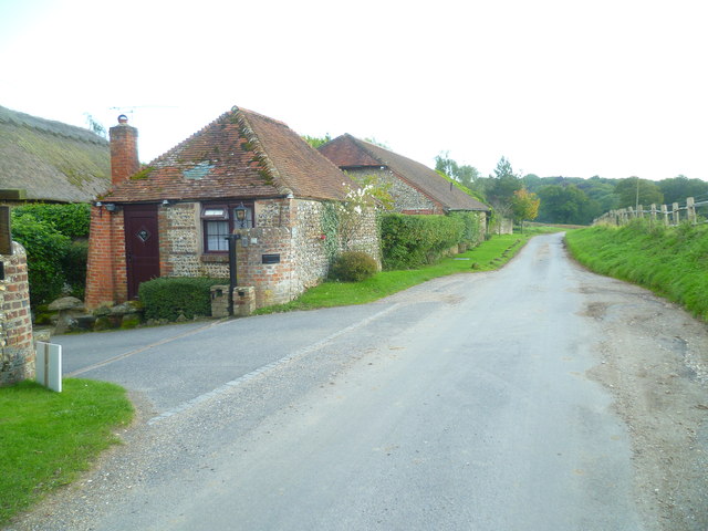
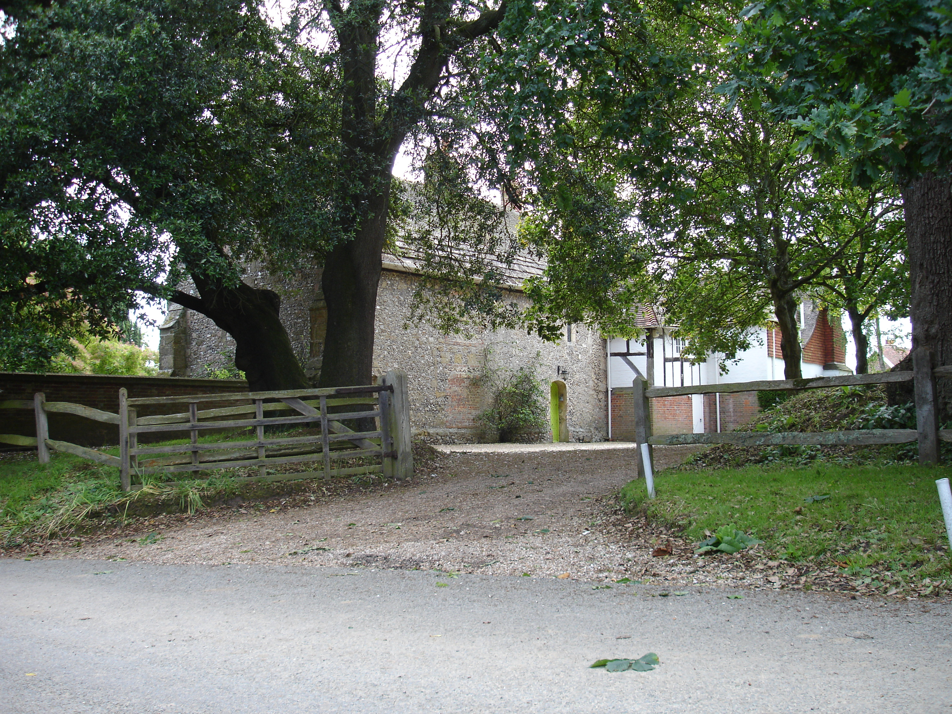
The village of Angmering itself is a charming and picturesque settlement with a population of around 5,000 residents. It is known for its historical buildings, including the Grade I listed Angmering House, a country mansion dating back to the 16th century. The village also features a number of traditional thatched cottages and a 13th-century church, St. Margaret's.
Angmering offers a range of amenities and services to its residents, including local shops, pubs, and restaurants. The village has a primary school, Angmering School, which serves the local community. The surrounding countryside provides ample opportunities for outdoor activities, with numerous walking and cycling routes, as well as the nearby South Downs Way.
Transport links in Angmering are well-established, with regular bus services connecting the village to nearby towns such as Worthing and Littlehampton. The A27 road also runs close by, providing easy access to the wider region.
Overall, Angmering is a peaceful and idyllic parish, combining a rich historical heritage with a close-knit community and stunning natural surroundings.
If you have any feedback on the listing, please let us know in the comments section below.
Angmering Images
Images are sourced within 2km of 50.85852/-0.484263 or Grid Reference TQ0607. Thanks to Geograph Open Source API. All images are credited.


Angmering is located at Grid Ref: TQ0607 (Lat: 50.85852, Lng: -0.484263)
Administrative County: West Sussex
District: Arun
Police Authority: Sussex
What 3 Words
///skews.formation.reverses. Near Arundel, West Sussex
Nearby Locations
Related Wikis

Worthing Rural District
Worthing Rural District was a rural district in West Sussex, England from 1933 to 1974. It comprised an area to the north, west and east, but did not...

Patching
Patching is a small village and civil parish that lies amid the fields and woods of the southern slopes of the South Downs in the National Park in the...

Oval Raceway
The Oval Raceway, also known as the Angmering Motor Sports Centre or Angmering Raceway is a motor racing circuit on the outskirts of Angmering, near Worthing...
Phun City
Phun City was a rock festival held at Ecclesden Common near Worthing, England, from 24 July to 26 July 1970. Excluding the one-day free concerts in London...
Angmering & Findon (electoral division)
Angmering & Findon is an electoral division of West Sussex in the United Kingdom and returns one member to sit on West Sussex County Council. The current...
Harrow Hill, West Sussex
Harrow Hill is an archaeological site in West Sussex, England. It is on the South Downs about 3 miles (5 km) north of the village of Angmering and 5 miles...
Blackpatch
Blackpatch is an archaeological site in West Sussex, England, about 2 miles (3.2 km) west of the village of Findon and about 3 miles (4.8 km) north-west...
Poling Preceptory
Poling Preceptory was a priory in West Sussex, England. It is a Grade I listed building.. == References ==
Nearby Amenities
Located within 500m of 50.85852,-0.484263Have you been to Angmering?
Leave your review of Angmering below (or comments, questions and feedback).