Angmering Park
Downs, Moorland in Sussex Arun
England
Angmering Park

Angmering Park is a vast estate located in the county of Sussex, England. Nestled within the picturesque Sussex Downs and Moorland, it spans across a sprawling area of undulating landscapes, encompassing both natural and man-made features.
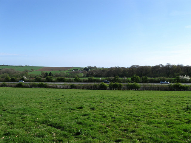
The park boasts stunning panoramic views, with rolling hills and open meadows dotted with ancient woodlands. These woodlands are home to a diverse range of flora and fauna, including rare and protected species. The estate is known for its rich biodiversity, making it a haven for nature enthusiasts and wildlife photographers.
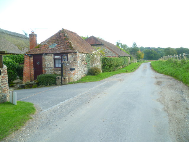
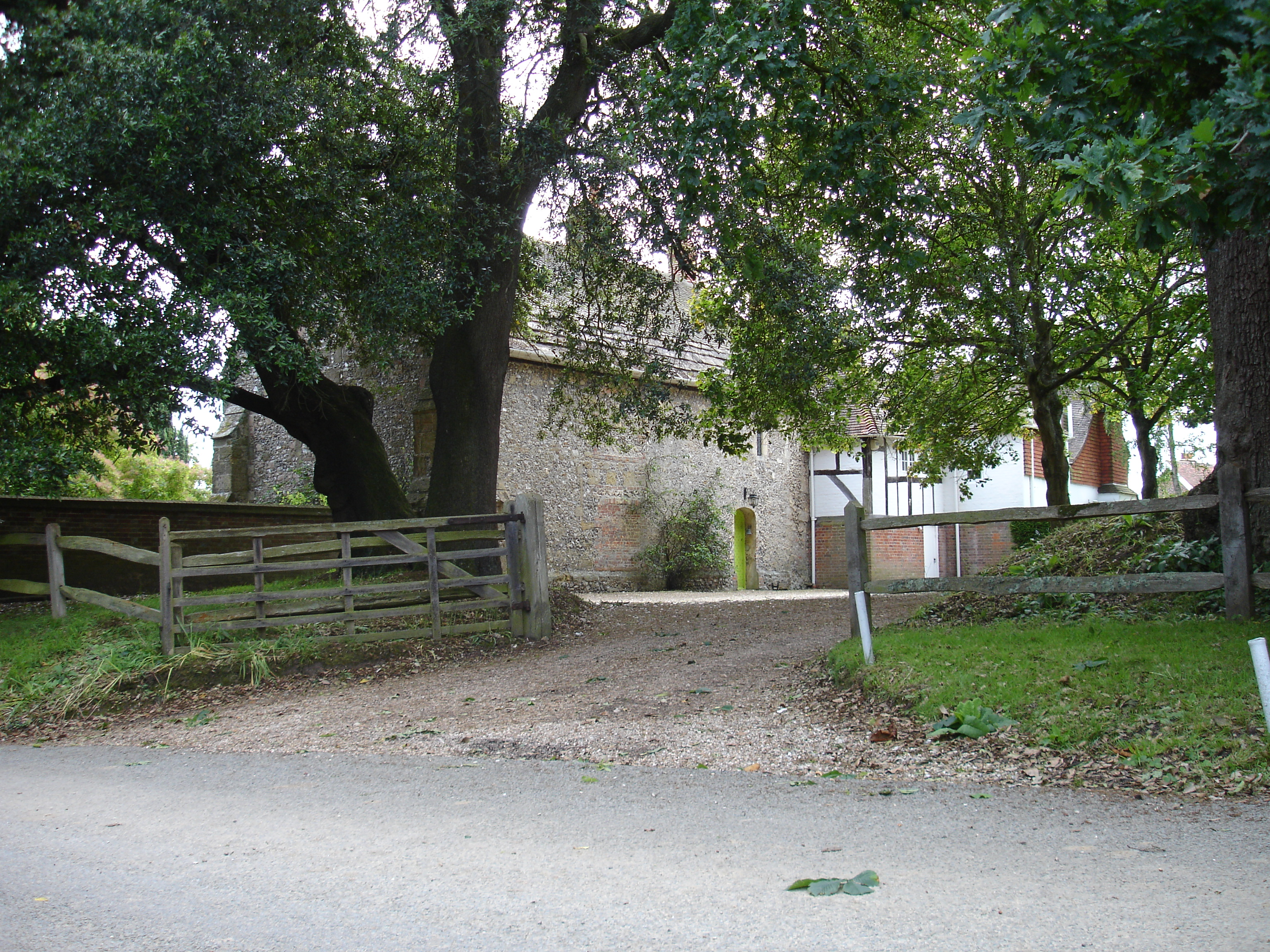
The architectural centerpiece of Angmering Park is the grand Angmering House, a Grade I listed mansion that dates back to the 16th century. The house features a unique blend of architectural styles, including Tudor, Georgian, and Victorian influences. Its well-manicured gardens, complete with ornamental lakes and fountains, add to the overall splendor of the estate.
Visitors to Angmering Park can indulge in a variety of recreational activities such as walking, hiking, and horseback riding, with numerous trails and bridle paths crisscrossing the estate. The park also offers opportunities for bird watching, fishing, and picnicking, providing a tranquil escape from the hustle and bustle of everyday life.
Overall, Angmering Park in Sussex offers a captivating blend of natural beauty, historical significance, and recreational opportunities, making it a must-visit destination for those seeking to immerse themselves in the charm of the English countryside.
If you have any feedback on the listing, please let us know in the comments section below.
Angmering Park Images
Images are sourced within 2km of 50.852801/-0.48407567 or Grid Reference TQ0607. Thanks to Geograph Open Source API. All images are credited.


Angmering Park is located at Grid Ref: TQ0607 (Lat: 50.852801, Lng: -0.48407567)
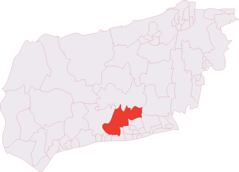
Administrative County: West Sussex
District: Arun
Police Authority: Sussex
What 3 Words
///skate.monitors.mavericks. Near Arundel, West Sussex
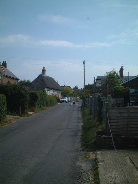
Nearby Locations
Related Wikis

Worthing Rural District
Worthing Rural District was a rural district in West Sussex, England from 1933 to 1974. It comprised an area to the north, west and east, but did not...

Oval Raceway
The Oval Raceway, also known as the Angmering Motor Sports Centre or Angmering Raceway is a motor racing circuit on the outskirts of Angmering, near Worthing...

Patching
Patching is a small village and civil parish that lies amid the fields and woods of the southern slopes of the South Downs in the National Park in the...
Phun City
Phun City was a rock festival held at Ecclesden Common near Worthing, England, from 24 July to 26 July 1970. Excluding the one-day free concerts in London...
Angmering & Findon (electoral division)
Angmering & Findon is an electoral division of West Sussex in the United Kingdom and returns one member to sit on West Sussex County Council. The current...
Poling Preceptory
Poling Preceptory was a priory in West Sussex, England. It is a Grade I listed building.. == References ==
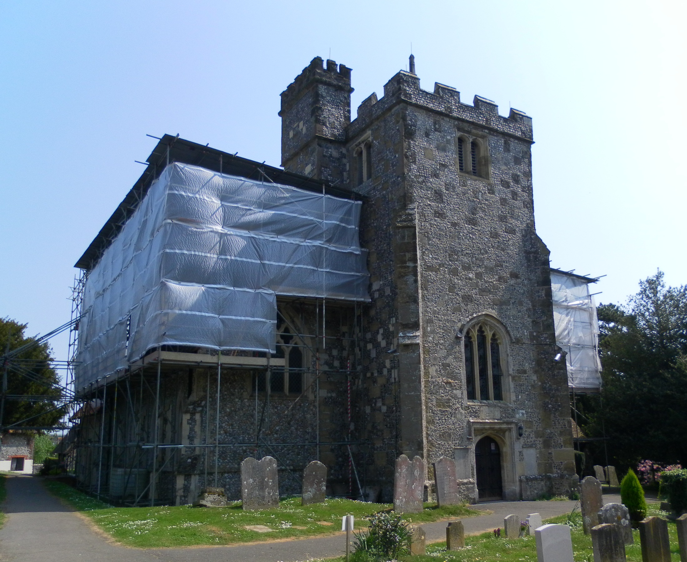
St Margaret's Church, Angmering
St Margaret's Church is a Church of England parish church in Angmering, West Sussex. The church is a grade II* listed building. == History == St Margaret...
Clapham, West Sussex
Clapham is a rural village and civil parish in the Arun District of West Sussex, England. It lies on varying downslopes and escarpment of the South Downs...
Nearby Amenities
Located within 500m of 50.852801,-0.48407567Have you been to Angmering Park?
Leave your review of Angmering Park below (or comments, questions and feedback).