Bullock Pasture
Downs, Moorland in Lincolnshire North Kesteven
England
Bullock Pasture
Bullock Pasture, located in Lincolnshire, is a picturesque area encompassing downs and moorland landscapes. Spanning approximately several square miles, it offers a diverse range of natural habitats and breathtaking views.
The downs of Bullock Pasture are characterized by rolling hills covered in lush, green grasses. These hills create a gentle undulating landscape, providing a peaceful and serene atmosphere. The area is home to a variety of flora and fauna, including wildflowers, grasses, and small mammals such as rabbits and hares.
The moorland section of Bullock Pasture offers a stark contrast to the downs. Here, visitors can explore vast expanses of heather-covered moors, interspersed with patches of gorse and bracken. The moorland provides crucial habitat for a range of bird species, including curlews, skylarks, and grouse. Additionally, the area is known for its diverse insect population, with butterflies and dragonflies frequently spotted during the warmer months.
Bullock Pasture is a popular destination for nature enthusiasts, hikers, and photographers. Its untouched beauty and tranquil surroundings make it an ideal spot for those seeking respite from the hustle and bustle of everyday life. The area also offers several walking trails, allowing visitors to explore the downs and moorland at their own pace.
Overall, Bullock Pasture in Lincolnshire is a haven of natural beauty, providing a rich and varied landscape for both wildlife and visitors to enjoy.
If you have any feedback on the listing, please let us know in the comments section below.
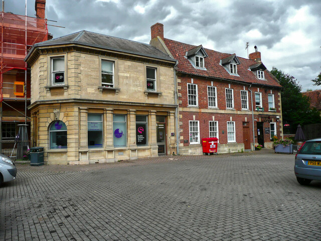
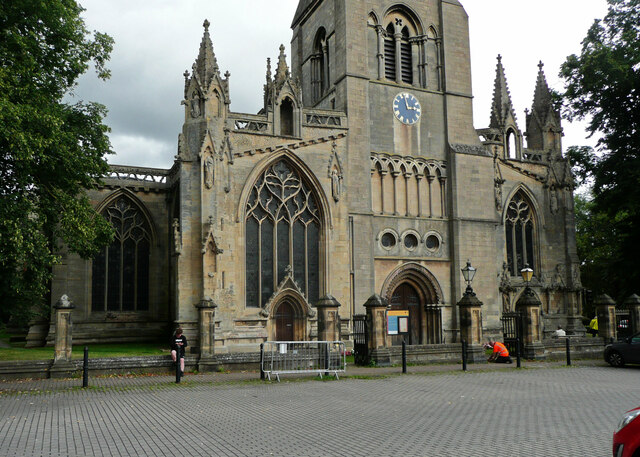
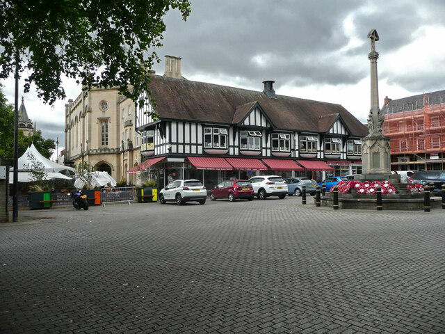
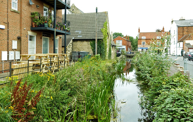
Bullock Pasture Images
Images are sourced within 2km of 52.986555/-0.40848444 or Grid Reference TF0644. Thanks to Geograph Open Source API. All images are credited.


Bullock Pasture is located at Grid Ref: TF0644 (Lat: 52.986555, Lng: -0.40848444)
Administrative County: Lincolnshire
District: North Kesteven
Police Authority: Lincolnshire
What 3 Words
///lovely.kinds.scale. Near Sleaford, Lincolnshire
Nearby Locations
Related Wikis

London Road, Sleaford
London Road is a cricket ground in Sleaford, Lincolnshire. It is the home of Sleaford Cricket Club and an occasional venue for Lincolnshire County Cricket...

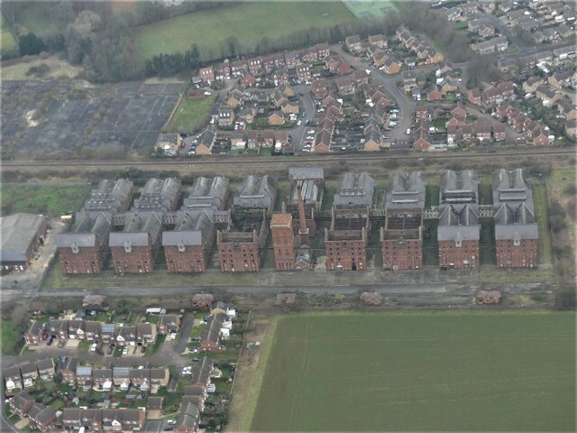
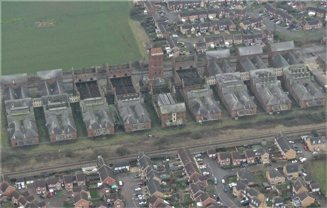
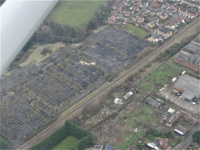
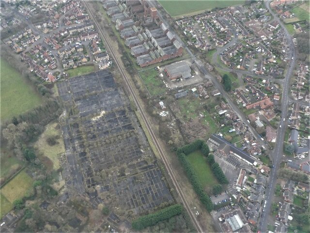
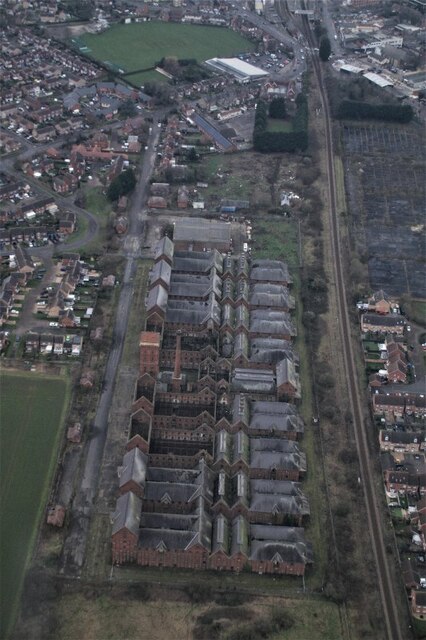
Bass Maltings, Sleaford
The Bass Maltings in Sleaford, England are a large group of eight disused malt houses originally owned by the Bass Brewery of Burton upon Trent. Constructed...
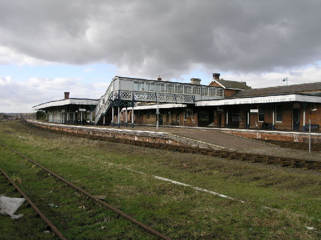
Sleaford railway station
Sleaford railway station serves the town of Sleaford in Lincolnshire, England. It lies on the Peterborough–Lincoln line. The station is 21 miles (34 km...

Sleaford
Sleaford is a market town and civil parish in the North Kesteven district of Lincolnshire, England. Centred on the former parish of New Sleaford, the modern...
Sleaford Castle
Sleaford Castle is a medieval castle in Sleaford, Lincolnshire, England. Built by the Bishop of Lincoln in the early 1120s, it was habitable as late as...
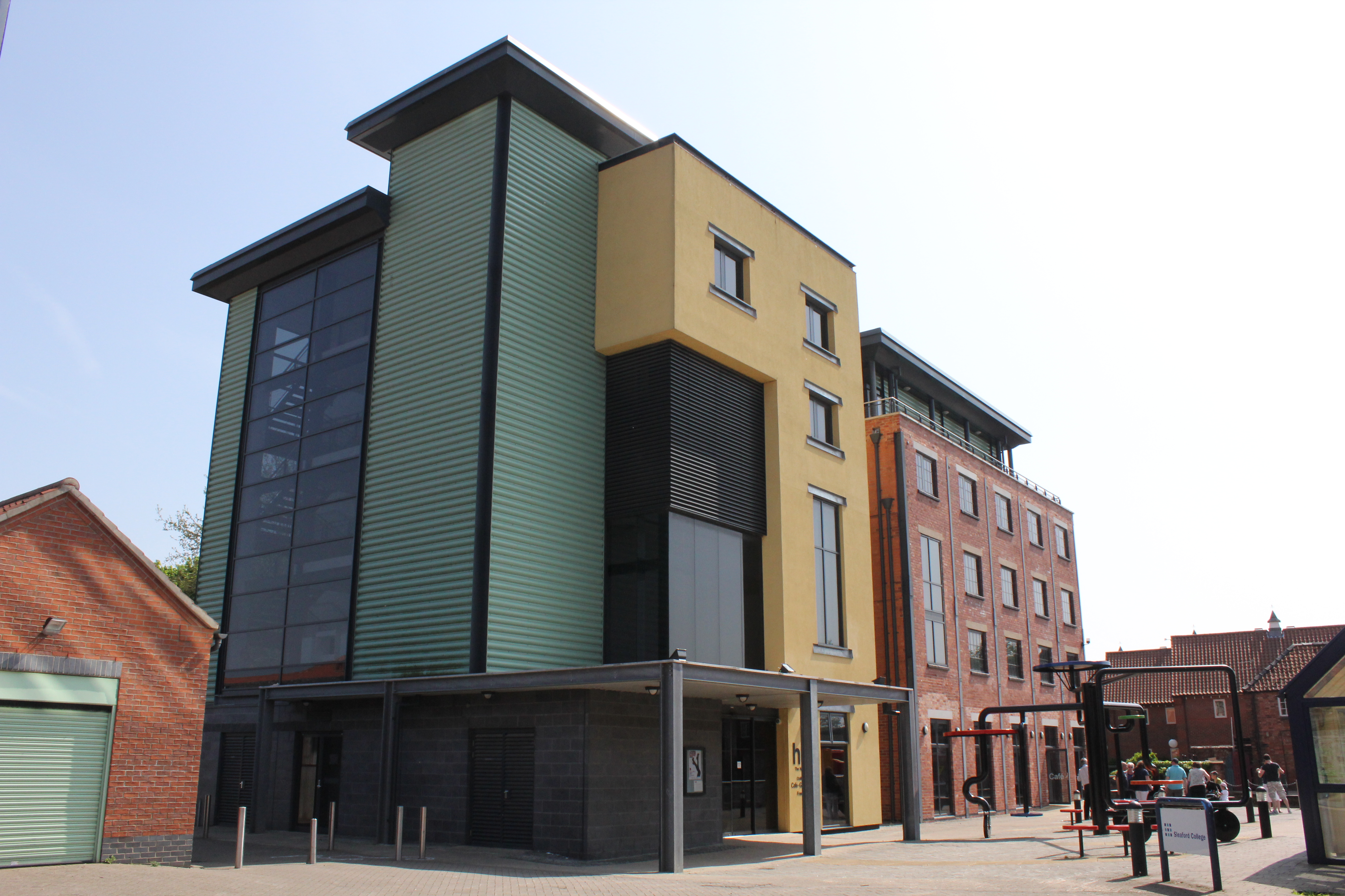
The National Centre for Craft & Design
The Hub (sometimes The National Centre for Craft & Design) is an arts centre in Sleaford, Lincolnshire, which holds England's largest exhibition space...
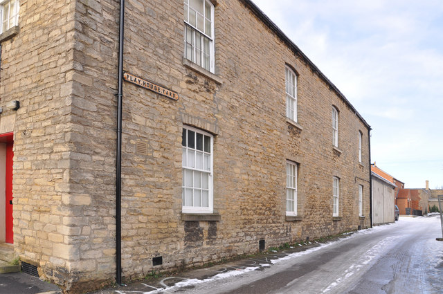
Playhouse, Sleaford
The Playhouse is a theatre in Sleaford, Lincolnshire, England. It is a Grade II listed Georgian building dating from 1820. The building became a school...

St Denys' Church, Sleaford
St Denys' Church is a medieval Anglican parish church in Sleaford, Lincolnshire, England. While a church and a priest have probably been present in the...
Nearby Amenities
Located within 500m of 52.986555,-0.40848444Have you been to Bullock Pasture?
Leave your review of Bullock Pasture below (or comments, questions and feedback).