Goodson's Holt
Wood, Forest in Lincolnshire North Kesteven
England
Goodson's Holt
Goodson's Holt is a picturesque woodland located in the county of Lincolnshire, England. Nestled within the Holt Forest, it spans over a vast area, offering visitors a tranquil escape from the hustle and bustle of everyday life. The forest is well-known for its dense canopy of trees, creating a serene and peaceful atmosphere.
The woodland boasts a diverse range of tree species, including oak, birch, and beech, which provide a rich and vibrant landscape throughout the year. Walking through the forest, visitors are greeted by a lush carpet of wildflowers and ferns, adding to the natural beauty of the surroundings.
Goodson's Holt is not only a haven for nature lovers but also a sanctuary for wildlife. The forest is home to a variety of animal species, such as deer, foxes, and numerous bird species. Birdwatchers can enjoy spotting woodpeckers, owls, and various songbirds, making it a popular destination for bird enthusiasts.
For those seeking outdoor activities, the forest offers several walking trails, allowing visitors to explore its enchanting beauty at their own pace. These trails cater to different abilities and offer a chance to immerse oneself in the serene ambiance of the woodland.
Goodson's Holt is easily accessible, located a short distance from the town of Lincoln. Its proximity to urban areas makes it a popular spot for day trips and weekend getaways, offering a peaceful retreat for those seeking to reconnect with nature.
Whether it's a leisurely stroll, birdwatching, or simply enjoying the tranquility of the woodland, Goodson's Holt provides an idyllic escape for nature enthusiasts and those seeking a respite from the demands of everyday life.
If you have any feedback on the listing, please let us know in the comments section below.
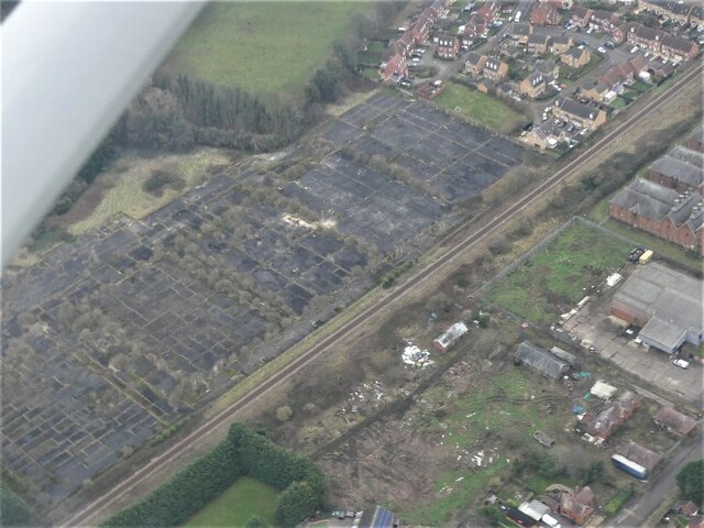
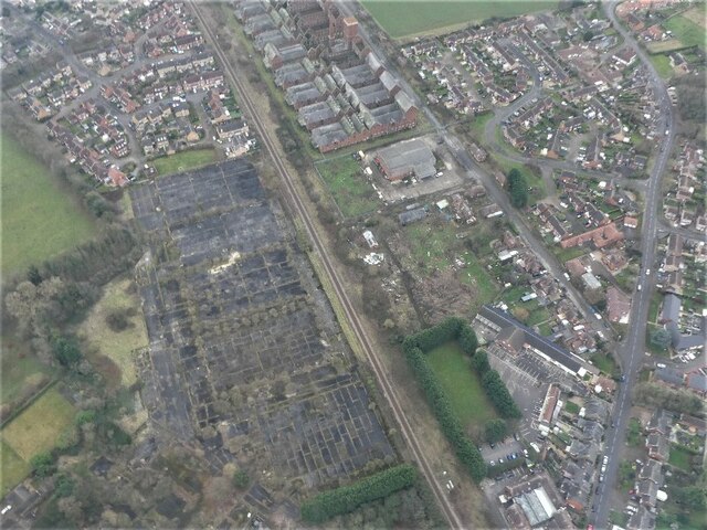
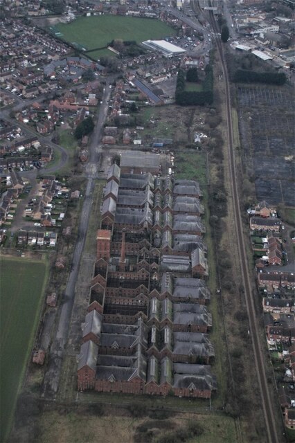
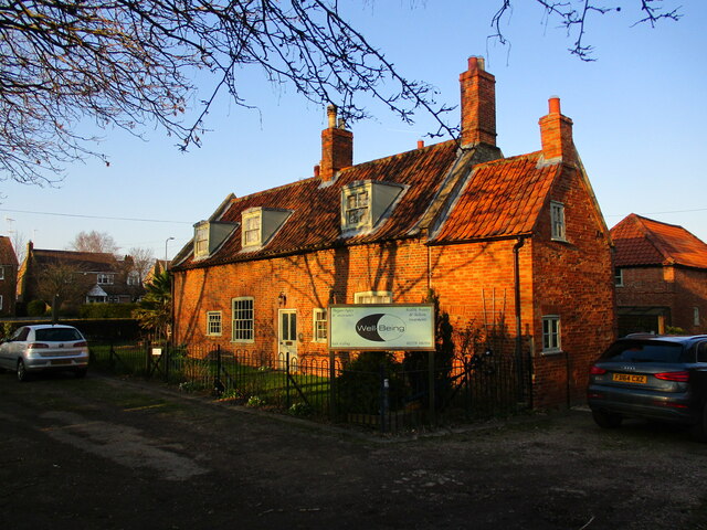
Goodson's Holt Images
Images are sourced within 2km of 52.990728/-0.4173299 or Grid Reference TF0644. Thanks to Geograph Open Source API. All images are credited.


Goodson's Holt is located at Grid Ref: TF0644 (Lat: 52.990728, Lng: -0.4173299)
Administrative County: Lincolnshire
District: North Kesteven
Police Authority: Lincolnshire
What 3 Words
///decorate.craters.tolerates. Near Sleaford, Lincolnshire
Nearby Locations
Related Wikis

Sleaford
Sleaford is a market town and civil parish in the North Kesteven district of Lincolnshire, England. Centred on the former parish of New Sleaford, the modern...
Sleaford Castle
Sleaford Castle is a medieval castle in Sleaford, Lincolnshire, England. Built by the Bishop of Lincoln in the early 1120s, it was habitable as late as...

London Road, Sleaford
London Road is a cricket ground in Sleaford, Lincolnshire. It is the home of Sleaford Cricket Club and an occasional venue for Lincolnshire County Cricket...
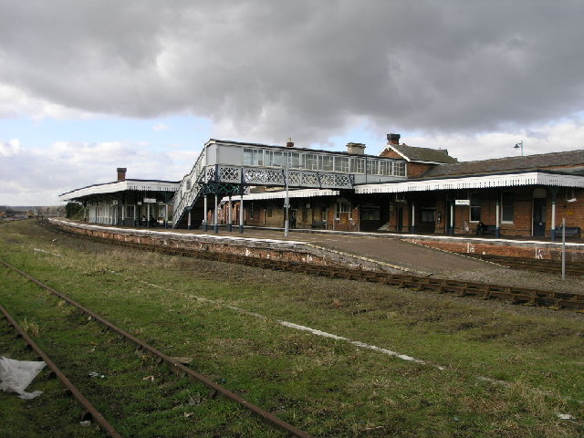
Sleaford railway station
Sleaford railway station serves the town of Sleaford in Lincolnshire, England. It lies on the Peterborough–Lincoln line. The station is 21 miles (34 km...

Quarrington, Lincolnshire
Quarrington is a village and former civil parish, now part of the civil parish of Sleaford, in the North Kesteven district of Lincolnshire, England. The...
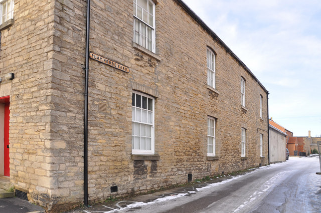
Playhouse, Sleaford
The Playhouse is a theatre in Sleaford, Lincolnshire, England. It is a Grade II listed Georgian building dating from 1820. The building became a school...
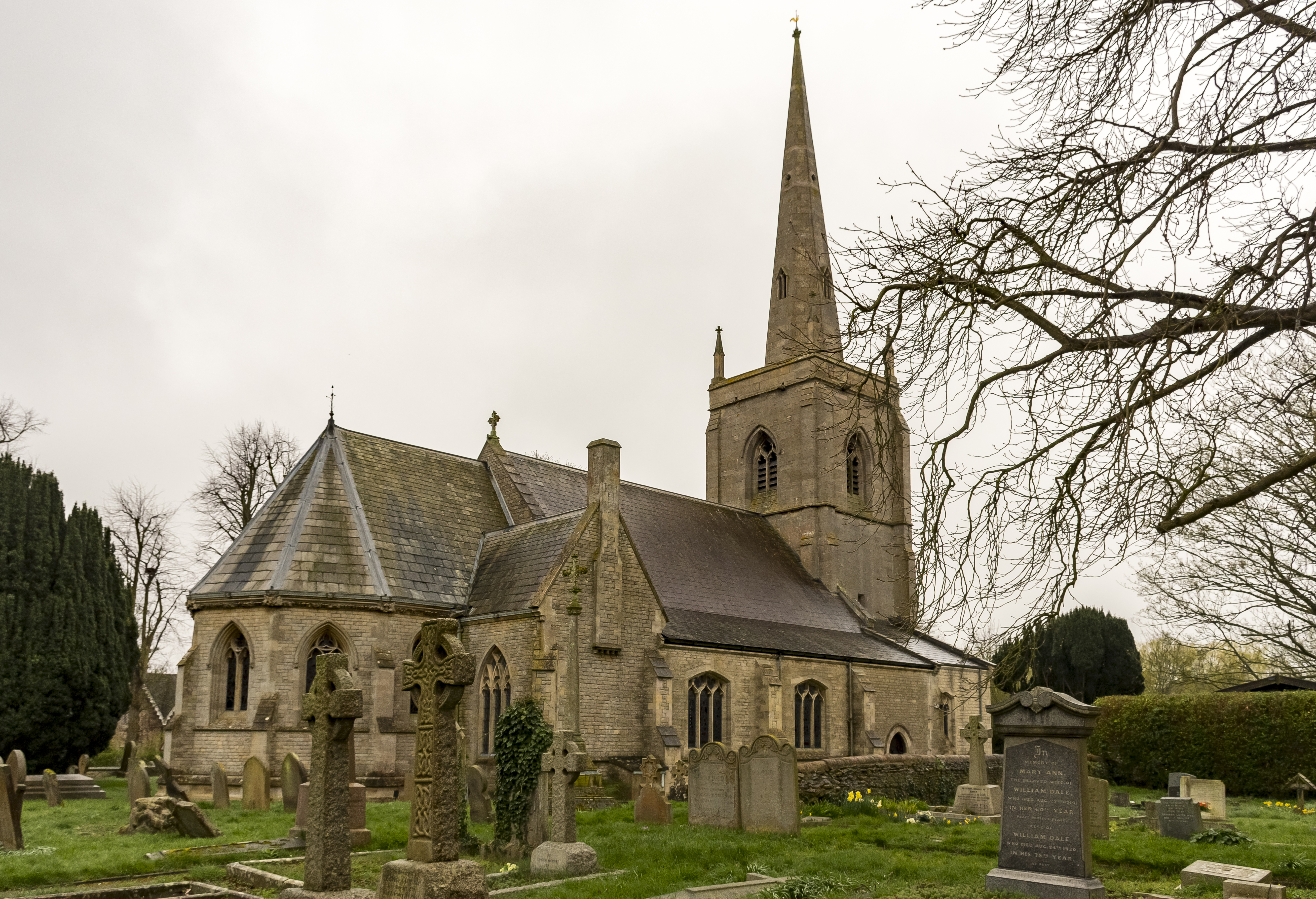
St Botolph's Church, Quarrington
St Botolph's Church is an Anglican church in Quarrington in Lincolnshire, England. The area has been settled since at least the Anglo-Saxon period, and...
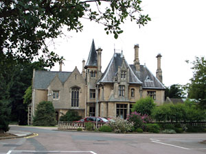
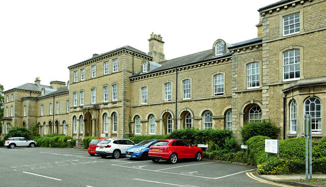
Westholme House
Westholme House is a historic building in the English market town of Sleaford in Lincolnshire, set in 32 acres of parkland and school grounds. Built around...
Nearby Amenities
Located within 500m of 52.990728,-0.4173299Have you been to Goodson's Holt?
Leave your review of Goodson's Holt below (or comments, questions and feedback).