Ampney Crucis

Civil Parish in Gloucestershire Cotswold

England

Ampney Crucis

Intersection of the A417 and Witpit Lane This intersection with a view of the farmland typical of this square, is in the south western section of the square. The square is mostly farmland.
Intersection of the A417 and Witpit Lane Credit: Pam Brophy

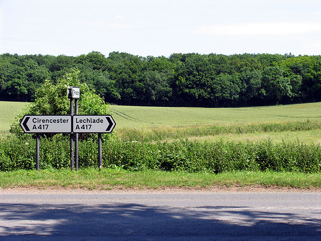
Ampney Crucis is a civil parish located in the county of Gloucestershire, England. Situated approximately 4 miles east of Cirencester, the parish covers an area of about 4 square kilometers. The village is nestled in the picturesque Cotswolds region, known for its beautiful countryside and charming rural communities.

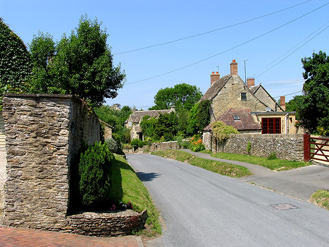
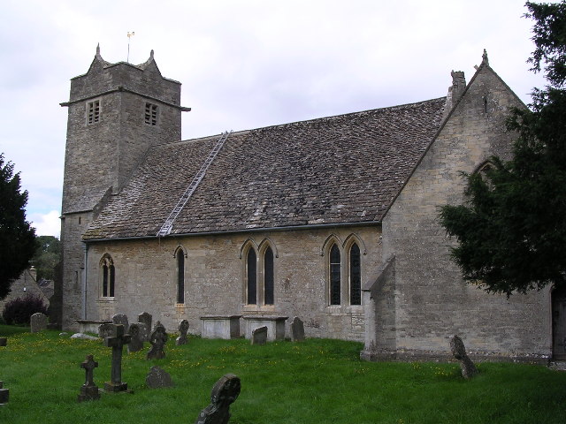
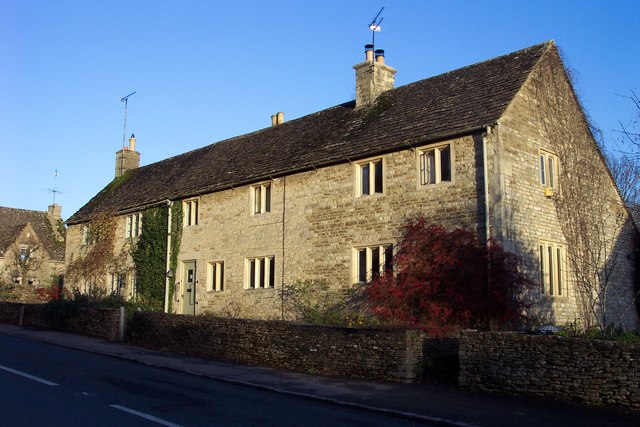
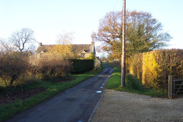
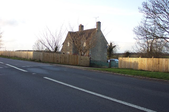
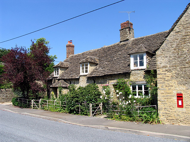
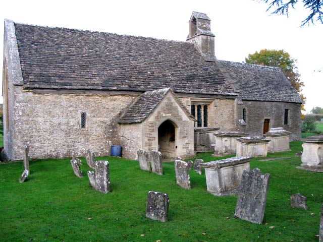
Ampney Crucis is home to a small population of around 300 residents. The village itself is characterized by its traditional Cotswold stone houses and buildings, giving it a timeless and quintessentially English feel. The centerpiece of the village is St. Peter's Church, a Grade I listed building that dates back to the 12th century. The church's architecture and historical significance make it a popular attraction for visitors.

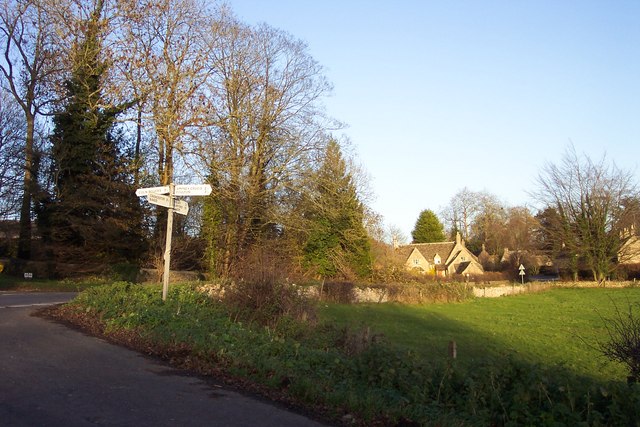
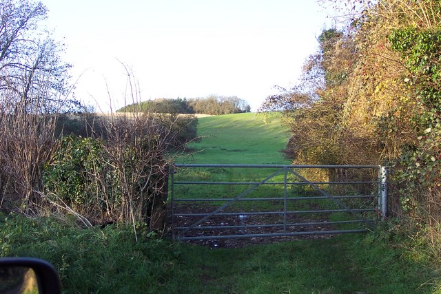
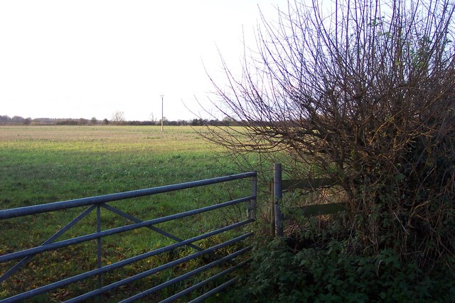
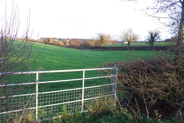
The parish is surrounded by rolling hills and farmland, providing ample opportunities for outdoor activities such as walking, hiking, and cycling. The nearby Ampney Brook, a tributary of the River Thames, adds to the village's natural beauty.

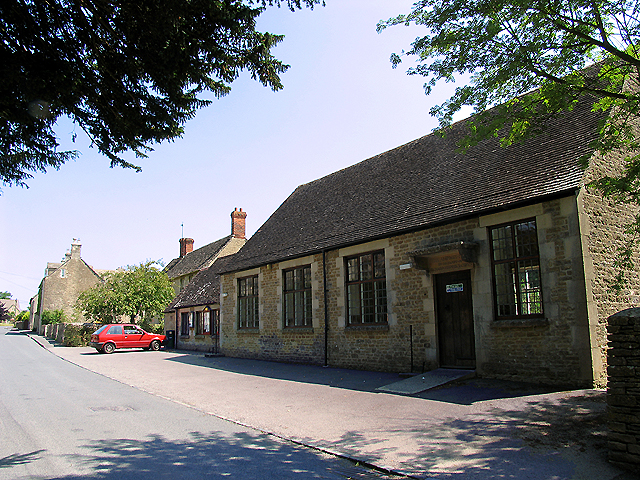
Despite its small size, Ampney Crucis has a strong sense of community and offers a range of amenities for its residents. These include a village hall, a primary school, a pub, and a post office. The village also hosts various community events throughout the year, fostering a sense of togetherness among its inhabitants.

Overall, Ampney Crucis is a charming and idyllic village that offers a peaceful and picturesque setting for its residents, while also attracting visitors who seek to explore the beauty of the Cotswolds region.

If you have any feedback on the listing, please let us know in the comments section below.

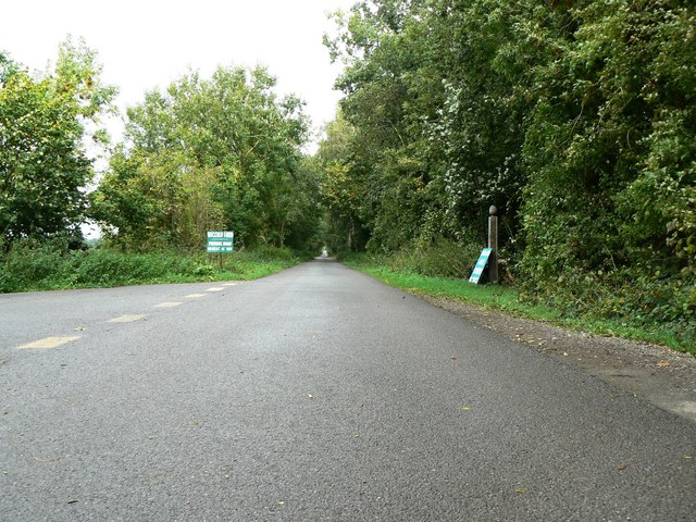
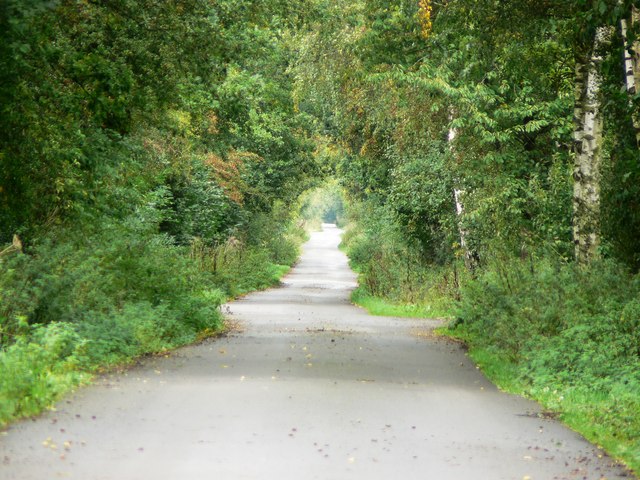
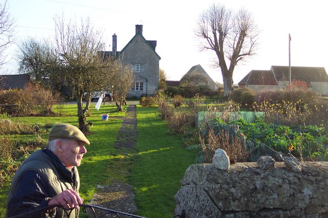
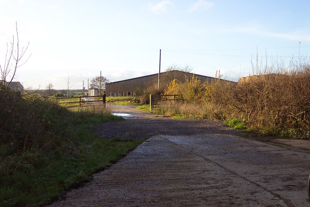
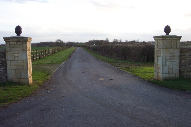
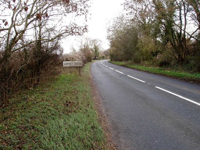
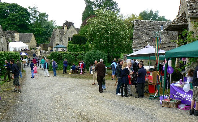
Ampney Crucis Images

Images are sourced within 2km of 51.734578/-1.910462 or Grid Reference SP0603. Thanks to Geograph Open Source API. All images are credited.

Intersection of the A417 and Witpit Lane This intersection with a view of the farmland typical of this square, is in the south western section of the square. The square is mostly farmland.
Intersection of the A417 and Witpit Lane
This intersection with a view of the farmland typical of this square, is in the south western section of the square. The square is mostly farmland.
Main street in Ampney Crucis These houses along the minor road passing through the southern half of the square is typical of residences in this village.
Main street in Ampney Crucis
These houses along the minor road passing through the southern half of the square is typical of residences in this village.
Ampney Crucis: Village Hall The village hall is in the south eastern section of the square. This square consists of village and Ampney park and farms.
Ampney Crucis: Village Hall
The village hall is in the south eastern section of the square. This square consists of village and Ampney park and farms.
Barnsley church  St. Mary's
Barnsley church St. Mary's
Trackbed of former Midland and South Western Junction Railway This may be one of the most accessible points on the old railway as it now forms a well-surfaced access to local farms. The track runs almost true north. The picture was taken at SP044036 facing north.
Trackbed of former Midland and South Western Junction Railway
This may be one of the most accessible points on the old railway as it now forms a well-surfaced access to local farms. The track runs almost true north. The picture was taken at SP044036 facing north.
Trackbed of former Midland & South Western Junction Railway foreshortened view This is a telephoto shot of the old railway trackbed facing north from SP044036. The track disappears from view at a point about 1.3 km away.
Trackbed of former Midland & South Western Junction Railway foreshortened view
This is a telephoto shot of the old railway trackbed facing north from SP044036. The track disappears from view at a point about 1.3 km away.
A country gentleman very proud of his garden. This is at Lower Field Farm, along Akeman Street.
A country gentleman very proud of his garden.
This is at Lower Field Farm, along Akeman Street.
A modern farm building near Ampney Riding.
Approaching Barnsley village from the south.
Cottages in Barnsley village.
Dry valley in the Cotswolds to the west of Barnsley Not completely dry as the autumn rains have produced the winterbourne aptly named the Winterwell.
Apologies for including a car mirror in this early contribution of mine from November 2006.
Dry valley in the Cotswolds to the west of Barnsley
Not completely dry as the autumn rains have produced the winterbourne aptly named the Winterwell. Apologies for including a car mirror in this early contribution of mine from November 2006.
Fields near Ampney Sheephouse.
House and lane at Ampney Sheephouse.
Across the fields to Glebe Farm.
Warehouse belonging to Cotswold Fasteners.
House on B4425 between Cirencester and Barnsley.
Entrance to Lower Norcote Farm.
A417 East approaching Ampney Crucis
Show me another place!

Ampney Crucis is located at Grid Ref: SP0603 (Lat: 51.734578, Lng: -1.910462)

Administrative County: Gloucestershire

District: Cotswold

Police Authority: Gloucestershire

What 3 Words

///playful.baseballs.renew. Near Cirencester, Gloucestershire

Nearby Locations

Ampney Crucis Winterwell

Related Wikis

Barnsley, Gloucestershire

Barnsley is a village and civil parish in the Cotswold district of Gloucestershire, England, 3.7 miles (6.0 km) northeast of Cirencester. It is 125 kilometres...

Ampney Park

Ampney Park is a 16th century manor house at Ampney Crucis, Gloucestershire, England. It is a Grade II listed building. == History == The estate is attached...

Ampney Crucis

Ampney Crucis is a village and civil parish in the Cotswolds, part of the Cotswold District of Gloucestershire, England. The village is in the Ampney-Coln...

Church of the Holy Rood, Ampney Crucis

The Anglican Church of the Holy Rood at Ampney Crucis in the Cotswold District of Gloucestershire, England has Saxon foundations with some of the stonework...

Barnsley Warren

Barnsley Warren (grid reference SP055064) is a 61.3-hectare (151-acre) biological Site of Special Scientific Interest in Gloucestershire, notified in 1954...

Bournemouth Corporation Tramways

Bournemouth Corporation Tramways served the town of Bournemouth in Dorset (although at the time it was in Hampshire) from 23 July 1902 until 8 April 1936...

Preston, Cotswold

Preston is a village and civil parish in Gloucestershire, England, situated 2.2 km south-east of the town of Cirencester. It is administered by the Cotswold...

Church of St Mary, Ampney St Mary

The Anglican Church of St Mary at Ampney St Mary in the Cotswold District of Gloucestershire, England was built in the 12th and 13th centuries. It is a...

Nearby Amenities

Located within 500m of 51.734578,-1.910462
Parking
Rest Area
Parking: layby
Source: gps_survey;video_survey
Lat/Long: 51.7321566/-1.9083568
The data included in this document is from www.openstreetmap.org. The data is made available under ODbL.

Have you been to Ampney Crucis?

Leave your review of Ampney Crucis below (or comments, questions and feedback).