Ampney St. Mary
Civil Parish in Gloucestershire Cotswold
England
Ampney St. Mary
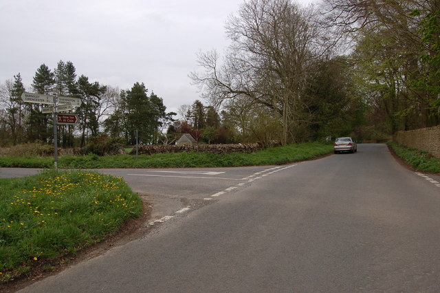
Ampney St. Mary is a civil parish located in the county of Gloucestershire, England. Situated in the Cotswolds, the parish is surrounded by picturesque countryside and is part of the Cotswold District. It is located approximately 5 miles east of Cirencester and covers an area of about 1.5 square miles.
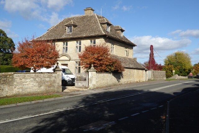
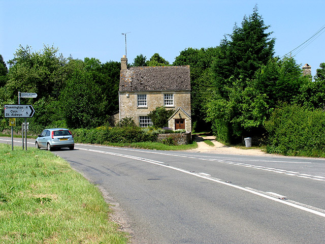
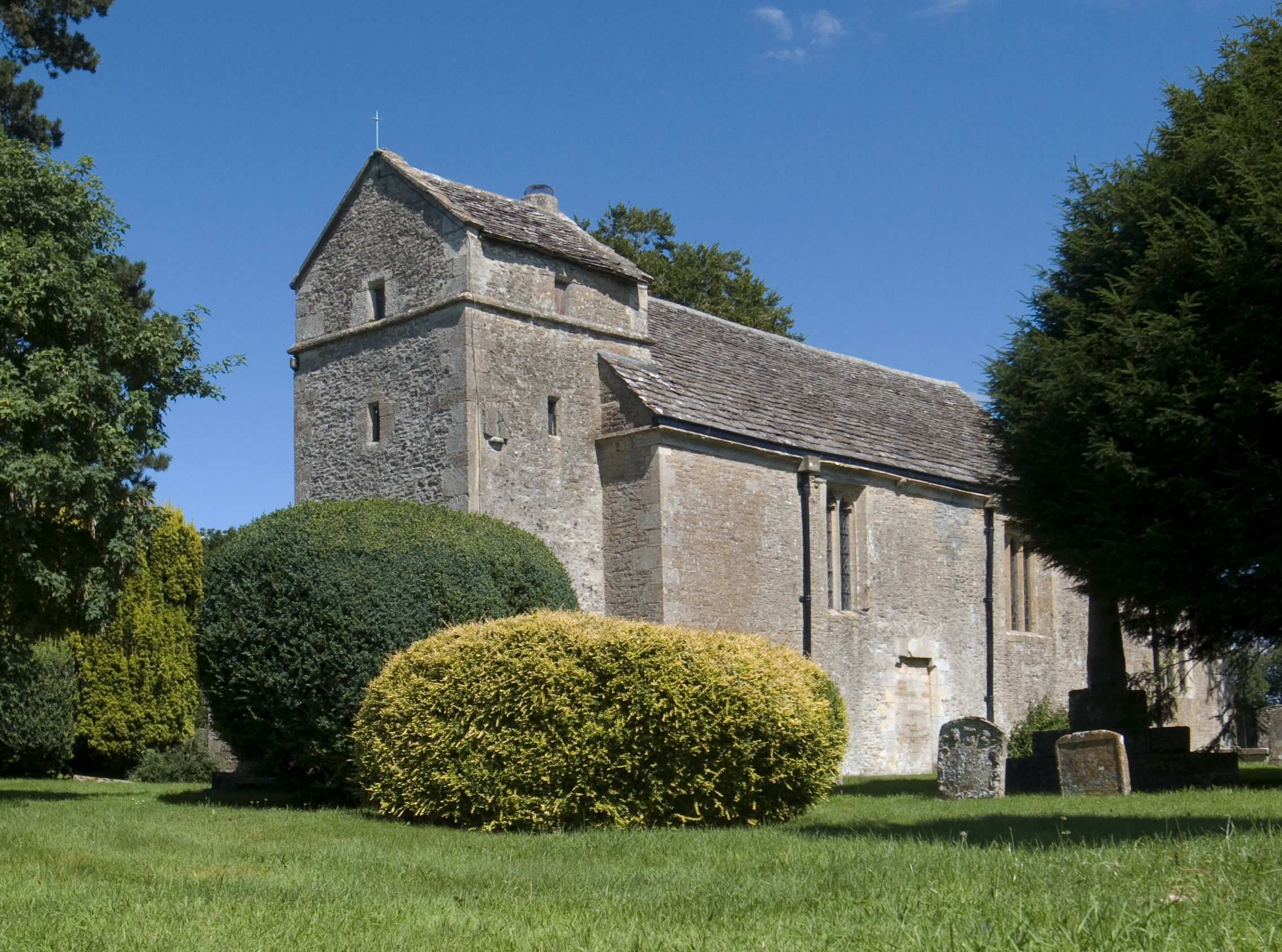
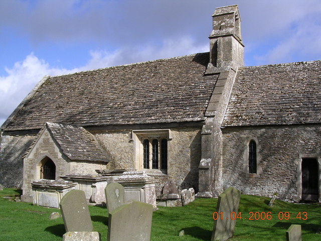
The village of Ampney St. Mary is small and has a population of around 300 residents. It is known for its charming stone cottages and traditional English village atmosphere. The parish is named after the Church of St. Mary, which has a history dating back to the 12th century.
The community in Ampney St. Mary is close-knit and has a strong sense of community spirit. The village has a primary school, providing education for local children, and a village hall that serves as a hub for various social activities. There is also a local pub, offering a place for residents and visitors to gather and socialize.
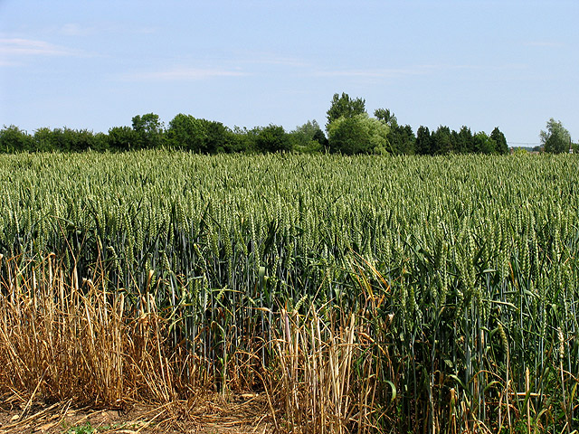
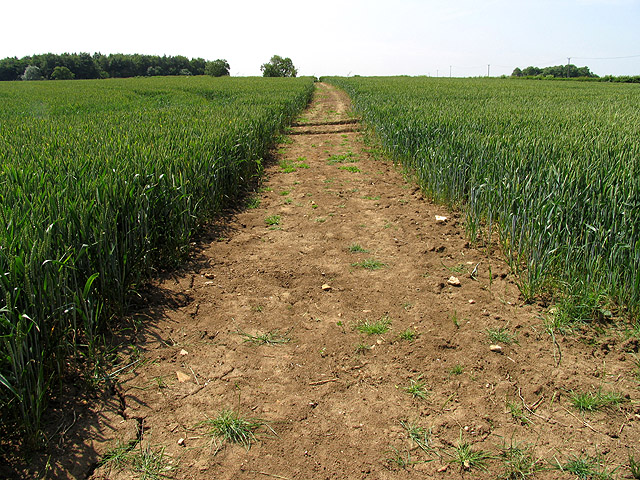
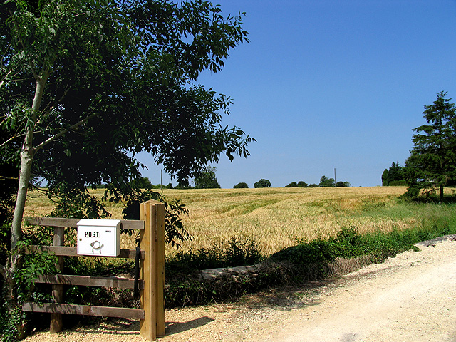
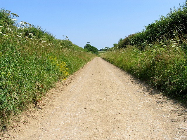
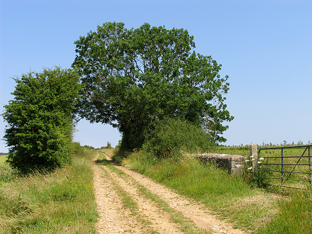
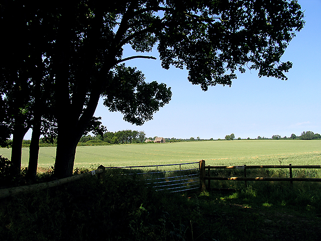
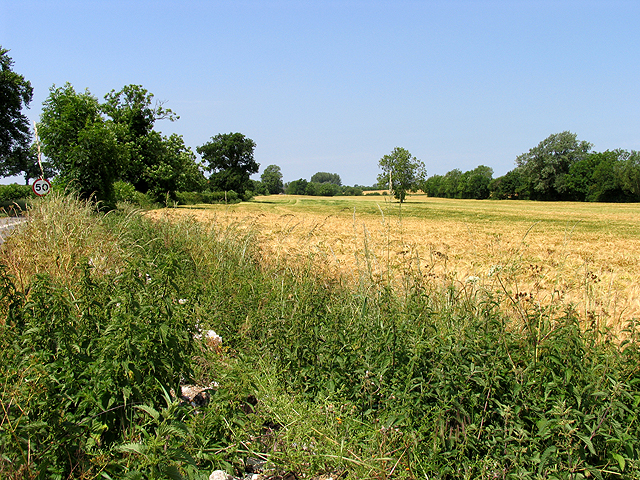
Ampney St. Mary is surrounded by beautiful countryside, making it a popular destination for outdoor enthusiasts. There are several walking and cycling routes in the area, allowing visitors to explore the stunning Cotswold landscape. The parish is also located near the River Thames, providing opportunities for boating and fishing activities.
Overall, Ampney St. Mary offers a peaceful and idyllic rural setting, with a strong sense of community and a range of outdoor activities to enjoy.
If you have any feedback on the listing, please let us know in the comments section below.
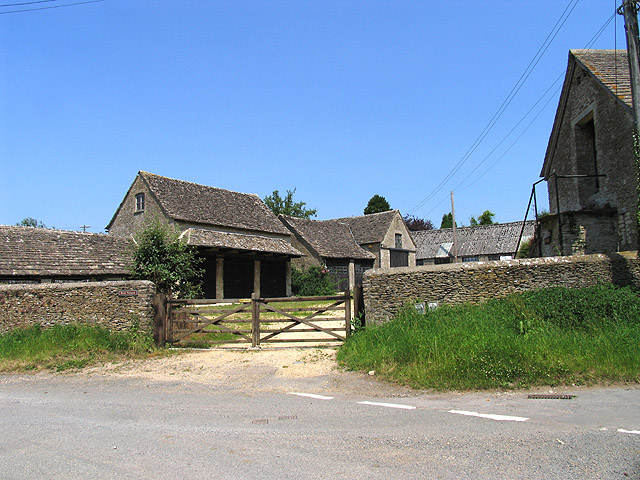
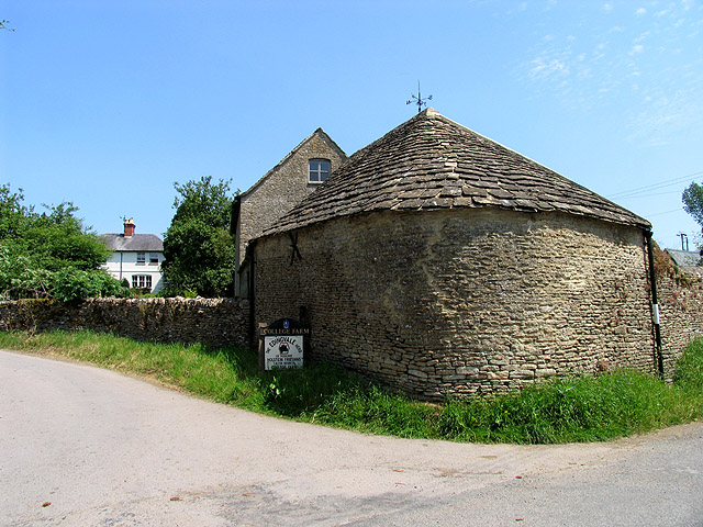
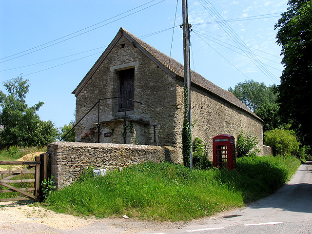
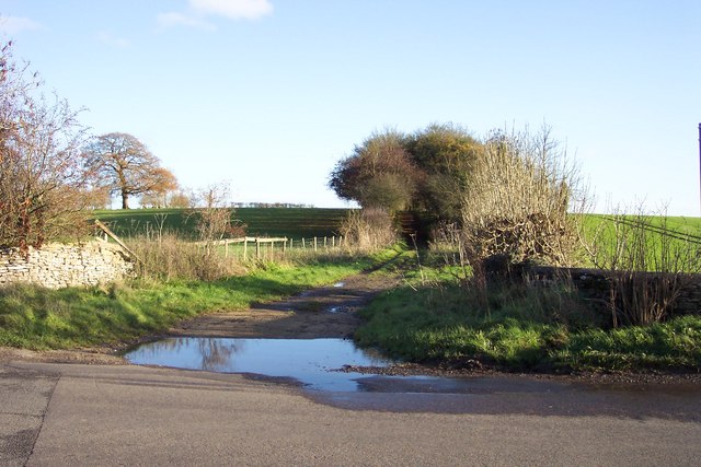
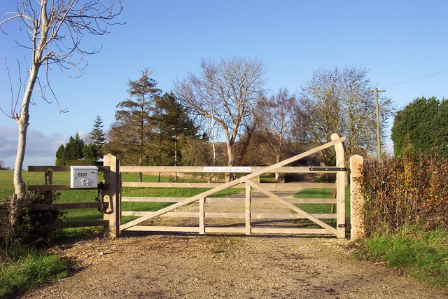
Ampney St. Mary Images
Images are sourced within 2km of 51.723255/-1.869861 or Grid Reference SP0902. Thanks to Geograph Open Source API. All images are credited.
Ampney St. Mary is located at Grid Ref: SP0902 (Lat: 51.723255, Lng: -1.869861)
Administrative County: Gloucestershire
District: Cotswold
Police Authority: Gloucestershire
What 3 Words
///schooling.agenda.mimes. Near Fairford, Gloucestershire
Nearby Locations
Related Wikis
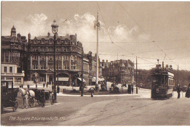
Bournemouth Corporation Tramways
Bournemouth Corporation Tramways served the town of Bournemouth in Dorset (although at the time it was in Hampshire) from 23 July 1902 until 8 April 1936...
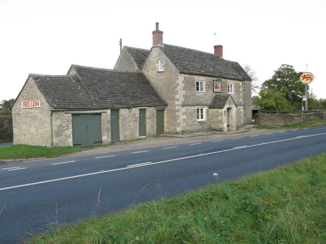
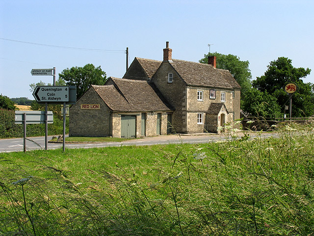
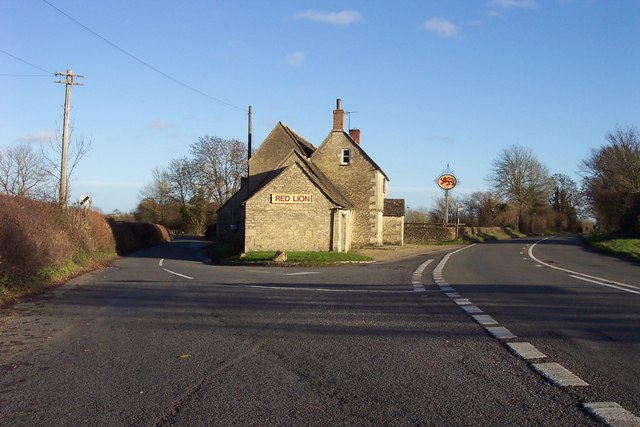
Red Lion, Ampney St Peter
The Red Lion is a Grade II listed pub at Ampney St Peter, Gloucestershire, GL7 5SL.It is on the Campaign for Real Ale's National Inventory of Historic...
Ampney St Peter
Ampney St Peter is a small village and civil parish in the Cotswolds, part of the Cotswold of Gloucestershire, England. According to the 2014 mid year...
Ampney St Mary
Ampney St Mary is a small village and civil parish in the Cotswolds, part of the Cotswold District of Gloucestershire, England. According to the 2001 census...

Poulton, Gloucestershire
Poulton is a village and civil parish in the English county of Gloucestershire, approximately 24 miles (39 km) to the south-east of Gloucester. It lies...
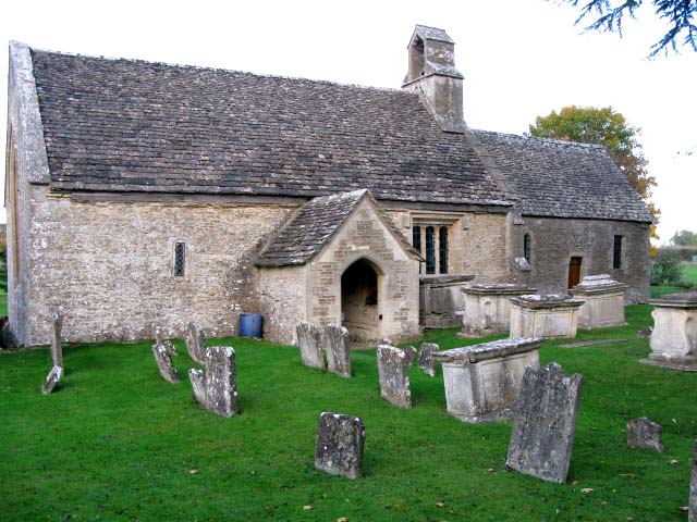
Church of St Mary, Ampney St Mary
The Anglican Church of St Mary at Ampney St Mary in the Cotswold District of Gloucestershire, England was built in the 12th and 13th centuries. It is a...
Ready Token
Ready Token is a hamlet in Gloucestershire, England, located in the Cotswold Hills near Poulton. Despite comprising only a handful of houses it is located...

Sunhill
Sunhill is hamlet at the junction of a five-ways crossroads in the English county of Gloucestershire. == Overview == Sunhill is located on the ancient...
Related Videos

A Slow & Peaceful Saunter in the Village of Ampney Crucis
So, today we are out and about walking in the Cotswold village and civil parish of Ampney Crucis, which is located in the county of ...


Minecraft Mobs that have Never existed in the Nether 2
Glitched R Showcases 10 Mobs that have Never existed In The Nether after the last part went AMAZING! watch the video To Find ...
Have you been to Ampney St. Mary?
Leave your review of Ampney St. Mary below (or comments, questions and feedback).