Ampney St. Peter
Civil Parish in Gloucestershire Cotswold
England
Ampney St. Peter
Ampney St. Peter is a civil parish located in the county of Gloucestershire, England. Situated approximately 6 miles east of the town of Cirencester, the parish covers an area of around 1.6 square miles. It is bordered by the parishes of Ampney Crucis to the west, Poulton to the east, and Harnhill to the north.
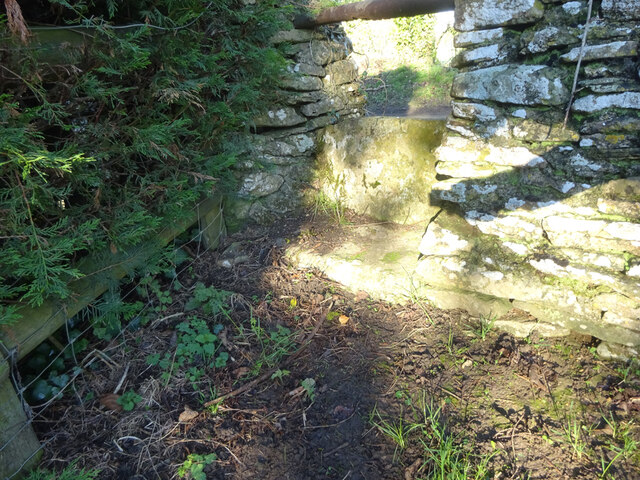
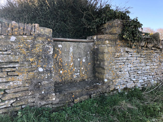
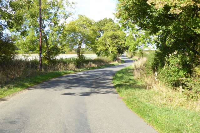
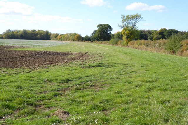
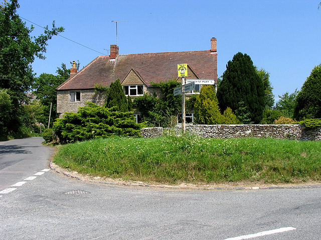
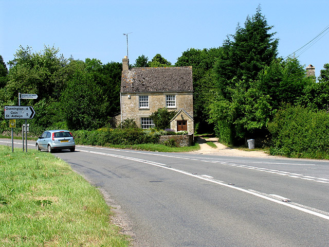
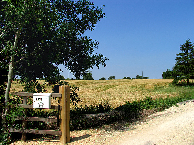
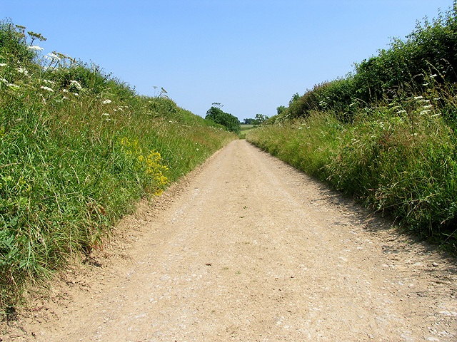
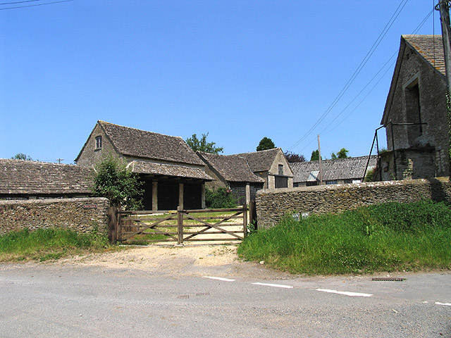
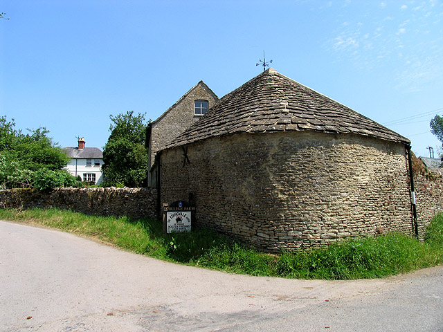
The village of Ampney St. Peter itself is small and picturesque, with a population of around 300 residents. It is known for its charming Cotswold stone houses and beautiful countryside surroundings. The parish is predominantly rural, characterized by rolling hills, open fields, and patches of woodland.
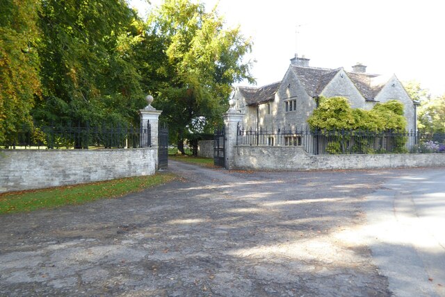
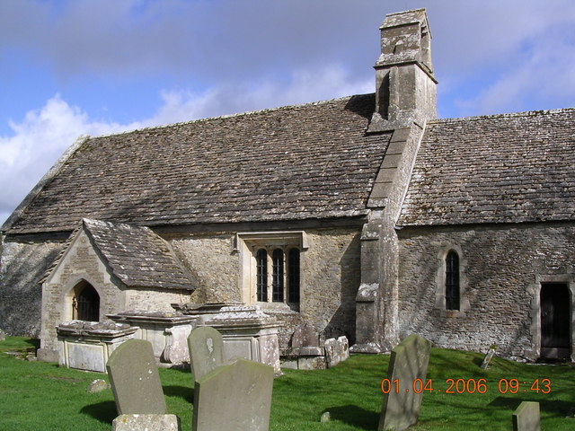
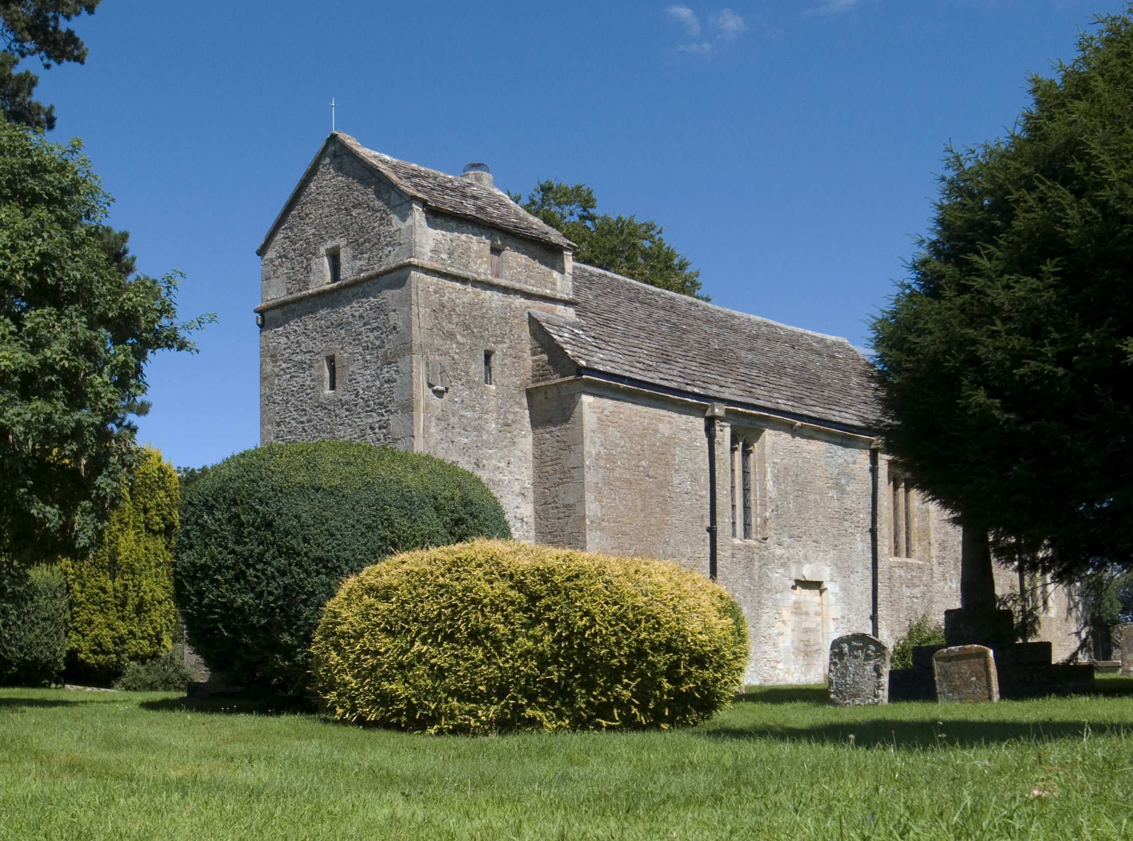
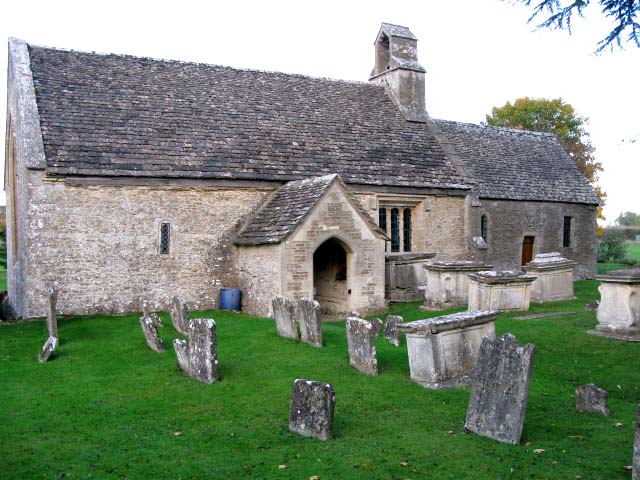
The village is home to the Grade I listed St. Peter's Church, which dates back to the 12th century. This historic building features a distinctive Perpendicular style tower and houses several interesting architectural features. The church is an important local landmark and a popular destination for visitors interested in history and heritage.
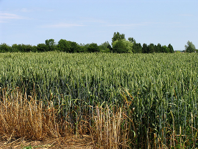
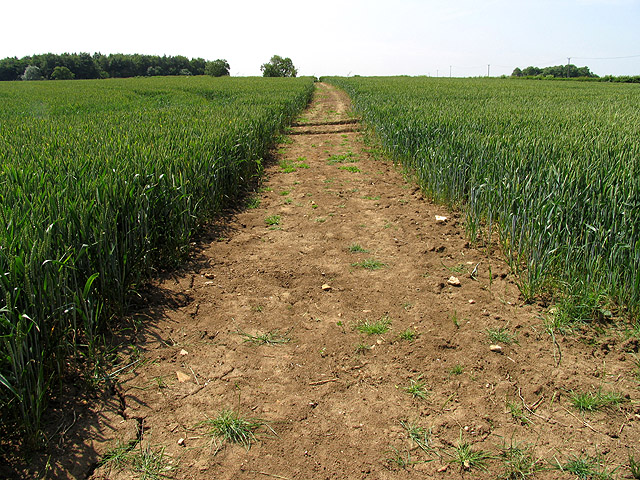
Agriculture plays a significant role in the local economy, with farming being the main occupation for many residents. The fertile soil and favorable climate of the area make it ideal for arable farming and livestock rearing.
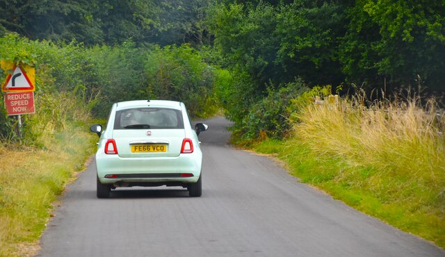
Ampney St. Peter offers a peaceful and idyllic setting, attracting those seeking a tranquil rural lifestyle. The parish benefits from good transport links, with the nearby A417 road providing easy access to surrounding towns and cities.
If you have any feedback on the listing, please let us know in the comments section below.
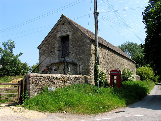
Ampney St. Peter Images
Images are sourced within 2km of 51.705233/-1.874211 or Grid Reference SP0800. Thanks to Geograph Open Source API. All images are credited.

Ampney St. Peter is located at Grid Ref: SP0800 (Lat: 51.705233, Lng: -1.874211)
Administrative County: Gloucestershire
District: Cotswold
Police Authority: Gloucestershire
What 3 Words
///trap.scanner.states. Near South Cerney, Gloucestershire
Nearby Locations
Related Wikis
Ampney St Mary
Ampney St Mary is a small village and civil parish in the Cotswolds, part of the Cotswold District of Gloucestershire, England. According to the 2001 census...
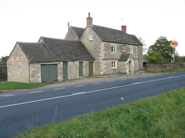
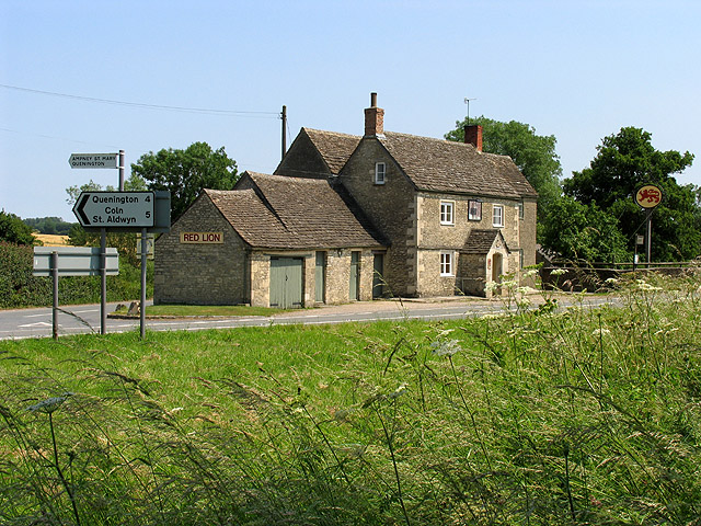
Red Lion, Ampney St Peter
The Red Lion is a Grade II listed pub at Ampney St Peter, Gloucestershire, GL7 5SL.It is on the Campaign for Real Ale's National Inventory of Historic...
Ampney St Peter
Ampney St Peter is a small village and civil parish in the Cotswolds, part of the Cotswold of Gloucestershire, England. According to the 2014 mid year...

Poulton Priory
Poulton Priory or the Priory of St Mary was a Gilbertine priory in Poulton, Gloucestershire, England. It was founded as a chantry chapel in 1337 by Sir...

Poulton, Gloucestershire
Poulton is a village and civil parish in the English county of Gloucestershire, approximately 24 miles (39 km) to the south-east of Gloucester. It lies...
Church of St Mary, Ampney St Mary
The Anglican Church of St Mary at Ampney St Mary in the Cotswold District of Gloucestershire, England was built in the 12th and 13th centuries. It is a...
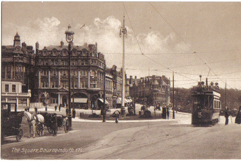
Bournemouth Corporation Tramways
Bournemouth Corporation Tramways served the town of Bournemouth in Dorset (although at the time it was in Hampshire) from 23 July 1902 until 8 April 1936...
Driffield, Gloucestershire
Driffield is a village and civil parish in the Cotswold district of Gloucestershire, England. It is situated 3+1⁄2 miles (5.6 km) east-south-east of Cirencester...
Nearby Amenities
Located within 500m of 51.705233,-1.874211Have you been to Ampney St. Peter?
Leave your review of Ampney St. Peter below (or comments, questions and feedback).