Ampleforth

Civil Parish in Yorkshire Ryedale

England

Ampleforth

Track at Windmill Farm The track runs almost dead straight until it meets a public footpath that drops into Ampleforth. However, there is no indication that this is a right of way.
Track at Windmill Farm Credit: Gordon Hatton

Ampleforth is a civil parish located in the Ryedale district of North Yorkshire, England. Situated within the Howardian Hills Area of Outstanding Natural Beauty, it covers an area of around 8 square miles. The village of Ampleforth is the main settlement within the parish.

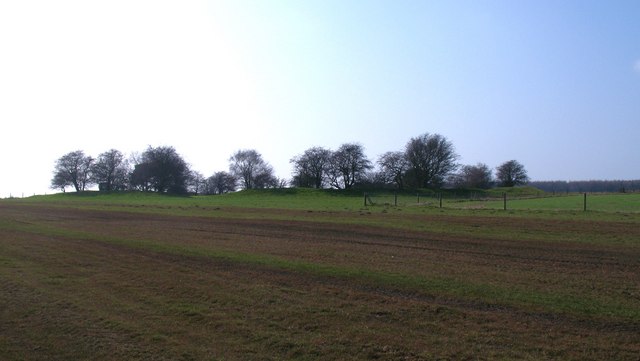
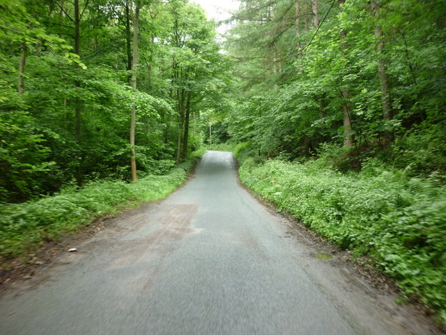
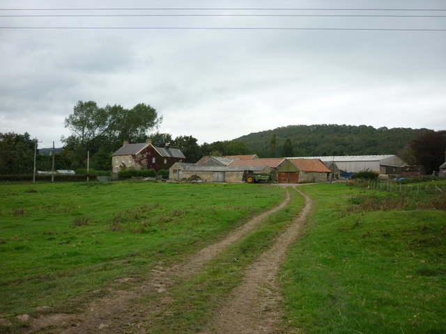
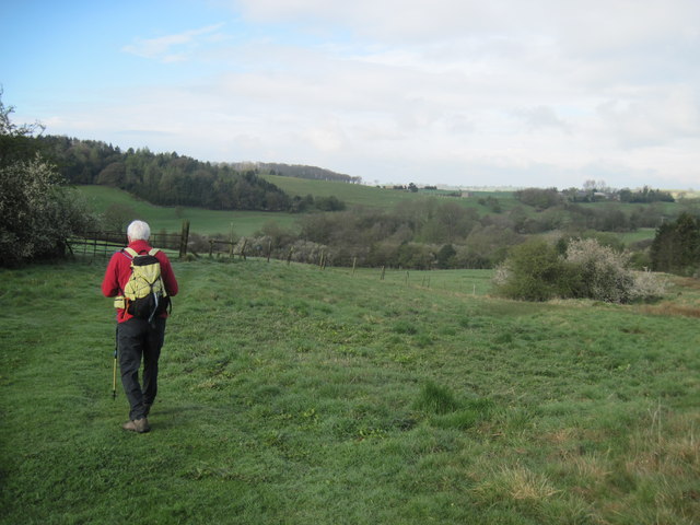
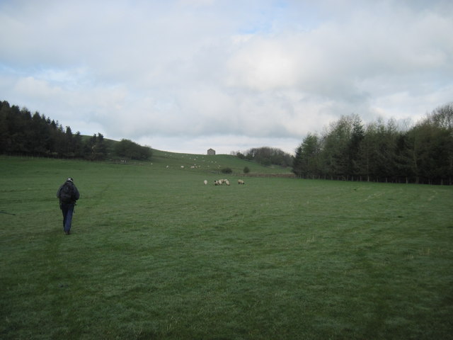
Ampleforth is renowned for its picturesque landscape, characterized by rolling hills, meandering rivers, and lush green countryside. It is surrounded by several small hamlets and farms, contributing to its predominantly rural and agricultural character. The parish is well-connected, with major road links such as the A19 and A170 providing easy access to nearby towns and cities.

The village itself is a charming and vibrant community with a population of approximately 800 residents. It offers a range of amenities including a primary school, post office, village shop, and a pub. The renowned Ampleforth Abbey, a Benedictine monastery, is also located within the village. The abbey, founded in 1802, is a significant religious and cultural landmark in the area, attracting visitors from near and far.

Ampleforth is also known for its local events and activities, including agricultural shows, village fairs, and sports clubs. The surrounding countryside offers ample opportunities for outdoor pursuits such as walking, cycling, and horse riding, making it an attractive destination for nature enthusiasts and outdoor lovers.

Overall, Ampleforth is a picturesque and vibrant civil parish that combines natural beauty, a strong sense of community, and a rich cultural heritage.

If you have any feedback on the listing, please let us know in the comments section below.

Ampleforth Images

Images are sourced within 2km of 54.207957/-1.113657 or Grid Reference SE5779. Thanks to Geograph Open Source API. All images are credited.

Track at Windmill Farm The track runs almost dead straight until it meets a public footpath that drops into Ampleforth. However, there is no indication that this is a right of way.
Track at Windmill Farm
The track runs almost dead straight until it meets a public footpath that drops into Ampleforth. However, there is no indication that this is a right of way.
Track into Dropping Gill Forest track that follows the edge of a small valley.
Track into Dropping Gill
Forest track that follows the edge of a small valley.
Studfold Ring Seen from the east, this feature appears as a low bank with small trees on and within the earthwork.  One would assume that this is a prehistoric site, but it appears to be largely medieval and would have been used as some sort of corral for horses.
Studfold Ring
Seen from the east, this feature appears as a low bank with small trees on and within the earthwork. One would assume that this is a prehistoric site, but it appears to be largely medieval and would have been used as some sort of corral for horses.
Studfold Ring - outer bank The map shows this earthwork as a circle, but the shape is more of a rectangle with rounded off corners [perhaps based on the design of the Austin Allegro steering wheel?]. Not a defensive site, due to the flat surroundings and a ditch inside the outer bank, but actually a medieval horse enclosure.
Studfold Ring - outer bank
The map shows this earthwork as a circle, but the shape is more of a rectangle with rounded off corners [perhaps based on the design of the Austin Allegro steering wheel?]. Not a defensive site, due to the flat surroundings and a ditch inside the outer bank, but actually a medieval horse enclosure.
Inside Studfold Ring Looking across the flat inner area of the ring with the ditch and bank visible around the perimeter. Studford Farm visible beyond.
Note that the feature is shown as Studford Ring on the 1:50000 map and is also known as Stotfold Ring. The term 'stud' associates it with horses, as this was a medieval horse enclosure.
Inside Studfold Ring
Looking across the flat inner area of the ring with the ditch and bank visible around the perimeter. Studford Farm visible beyond. Note that the feature is shown as Studford Ring on the 1:50000 map and is also known as Stotfold Ring. The term 'stud' associates it with horses, as this was a medieval horse enclosure.
Heading up Wass Bank towards the A170
A sign for the Howardian Hill
A path leading to Ampleforth
Wass Grange
Wass Grange
Monastery West Wing, Ampleforth Abbey The largest Benedictine community in Britain.
Monastery West Wing, Ampleforth Abbey
The largest Benedictine community in Britain.
Monastery, Ampleforth Abbey, autumn 2011 The largest Benedictine community in Britain.
Monastery, Ampleforth Abbey, autumn 2011
The largest Benedictine community in Britain.
Immaculate cricket pitch, Ampleforth Ampleforth hosts an annual cricket festival.
Immaculate cricket pitch, Ampleforth
Ampleforth hosts an annual cricket festival.
Ambleforth Abbey & College The abbey is a Benedictine Monastery founded in 1802 and is dedicated to St Lawrence the Martyr. The college was also founded in 1802 and is now an independent co-educational boarding school with about 600 students. The school has not avoided scandal as some of the pupils suffered abuse by certain monks and staff over the years. The one time Abbot Basil Hume decided to ignore the problem resulting in the abuse lasting several decades!
Notable pupils include Basil, Cardinal Hume, Rupert Everett, Julian Fellowes, Antony Gormley, Lawrence Dallaglio
Ambleforth Abbey & College
The abbey is a Benedictine Monastery founded in 1802 and is dedicated to St Lawrence the Martyr. The college was also founded in 1802 and is now an independent co-educational boarding school with about 600 students. The school has not avoided scandal as some of the pupils suffered abuse by certain monks and staff over the years. The one time Abbot Basil Hume decided to ignore the problem resulting in the abuse lasting several decades! Notable pupils include Basil, Cardinal Hume, Rupert Everett, Julian Fellowes, Antony Gormley, Lawrence Dallaglio
Early  morning  sun  at  St  Hilda's Ampleforth parish church, Norman with additions
Early morning sun at St Hilda's
Ampleforth parish church, Norman with additions
Footpath  down  to  Holbeck This f/p from Carr Lane takes you through to Byland Abbey via Wass Grange Farm
Footpath down to Holbeck
This f/p from Carr Lane takes you through to Byland Abbey via Wass Grange Farm
Footpath  to  Wass  Grange The barn at newstead stands out on the hilltop
Footpath to Wass Grange
The barn at newstead stands out on the hilltop
The entrance to Glebe Farm
The  Bronze  Age  Studfold  Ring A Hill Fort, Iron Age, there seems to be a differing ideas among the ancient historians.
The Bronze Age Studfold Ring
A Hill Fort, Iron Age, there seems to be a differing ideas among the ancient historians.
Show me another place!

Ampleforth is located at Grid Ref: SE5779 (Lat: 54.207957, Lng: -1.113657)

Division: North Riding

Administrative County: North Yorkshire

District: Ryedale

Police Authority: North Yorkshire

What 3 Words

///elections.park.herring. Near Helmsley, North Yorkshire

Nearby Locations

Ampleforth

Related Wikis

Ampleforth

Ampleforth is a village and civil parish in North Yorkshire, England, 20 miles (32 km) north of York. The village is situated on the edge of the North...

Ampleforth Abbey

Ampleforth Abbey is a monastery of Benedictine monks a mile to the east of Ampleforth, North Yorkshire, England, part of the English Benedictine Congregation...

Ampleforth College

Ampleforth College is a co-educational fee-charging boarding and day school in the English public school tradition. It opened in 1802 as a boys' school...

Wass, North Yorkshire

Wass is a village in the civil parish of Byland with Wass, in North Yorkshire, England, in the North York Moors National Park. A short distance from the...

Stanbrook Abbey

Stanbrook Abbey is a Catholic contemplative Benedictine Monastery with the status of an abbey, located at Wass, North Yorkshire, England. The community...

Byland with Wass

Byland with Wass is a civil parish in the Ryedale district of North Yorkshire, England. According to the 2001 census it had a population of 120, increasing...

Ampleforth railway station

Ampleforth railway station, served the village of Ampleforth, in the Northern English county of North Yorkshire. It was located on a line which ran from...

Byland Abbey

Byland Abbey is a ruined abbey and a small village in the Ryedale district of North Yorkshire, England, in the North York Moors National Park. == History... ==

Nearby Amenities

Located within 500m of 54.207957,-1.113657
Studford Ring
Historic: archaeological_site
Lat/Long: 54.2111979/-1.1102729
The data included in this document is from www.openstreetmap.org. The data is made available under ODbL.

Have you been to Ampleforth?

Leave your review of Ampleforth below (or comments, questions and feedback).