Winterwell
Lake, Pool, Pond, Freshwater Marsh in Gloucestershire Cotswold
England
Winterwell
Winterwell is a freshwater wetland located in Gloucestershire, England. Situated amidst picturesque surroundings, it encompasses a lake, pool, pond, and freshwater marsh, making it a diverse and vibrant ecosystem. The wetland is spread across a sizable area, providing a sanctuary for a wide range of plant and animal species.
The lake at Winterwell is a prominent feature, with its calm and serene waters reflecting the surrounding landscape. It supports various aquatic plants such as water lilies, reeds, and rushes, which contribute to the overall beauty and ecological balance of the area. The lake serves as a habitat for numerous bird species, including ducks, swans, and herons, which can be observed gracefully gliding across the water.
Adjacent to the lake is a smaller pool, which is shallower and often teeming with smaller species of fish, amphibians, and insects. This pool provides an important breeding ground for many aquatic creatures and serves as a valuable food source for the larger animals in the wetland.
The pond in Winterwell is a smaller, enclosed body of water, often characterized by its stillness and clarity. It supports a diverse range of aquatic plants and is home to various invertebrates such as dragonflies and water beetles. The pond acts as a vital water source for animals in the wetland and attracts a variety of bird species that come to drink or bathe.
Lastly, the freshwater marsh in Winterwell is a low-lying area with an abundance of sedges, grasses, and other water-loving plants. It acts as a natural filter, purifying the water that flows through it and providing a crucial habitat for many wetland species. Frogs, toads, and various reptiles can often be found here, taking advantage of the marsh's damp environment.
Winterwell, Gloucestershire, with its lake, pool, pond, and freshwater marsh, is a haven for biodiversity, offering a glimpse into the intricate web of life in a wetland
If you have any feedback on the listing, please let us know in the comments section below.
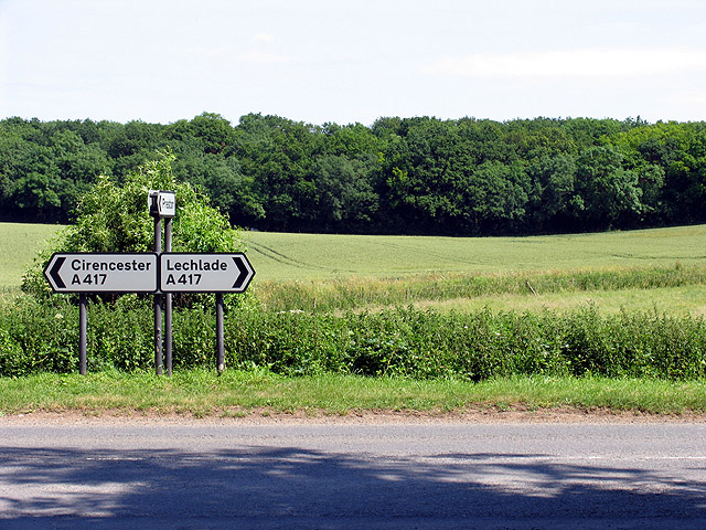
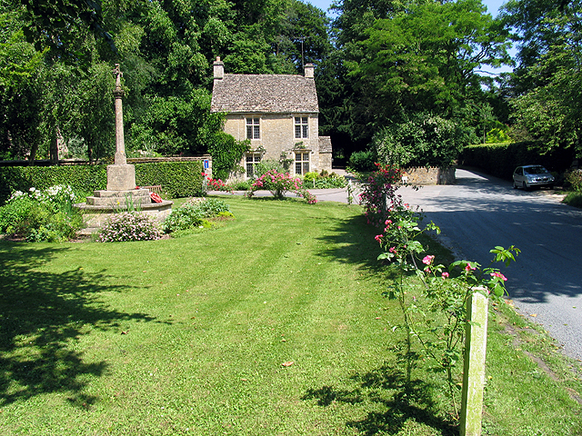
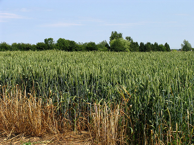
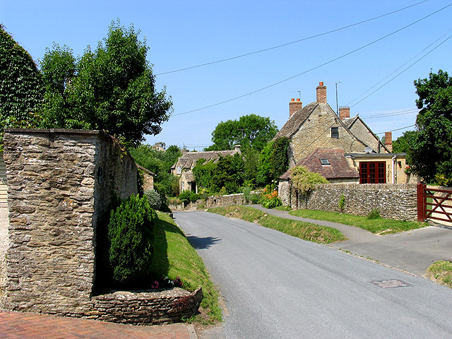
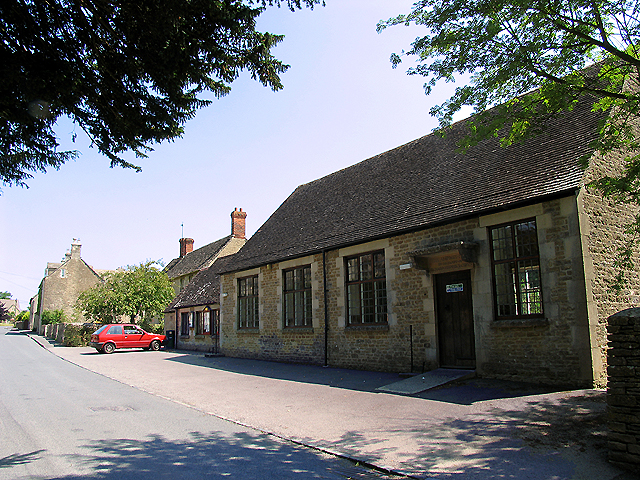
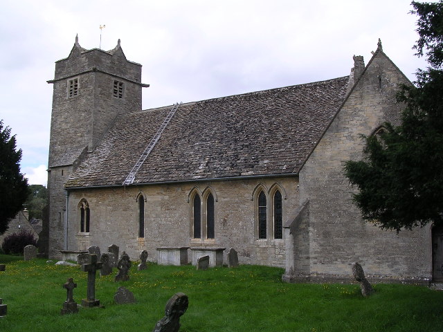
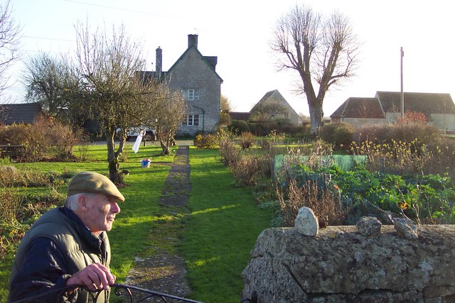
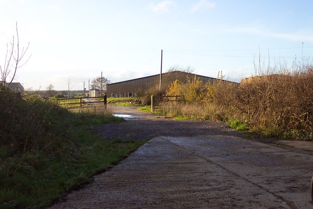
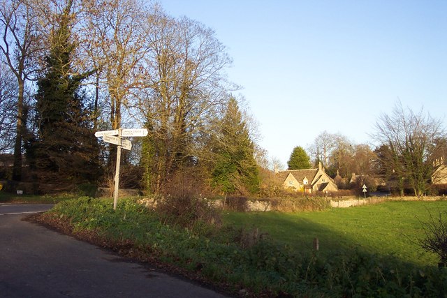
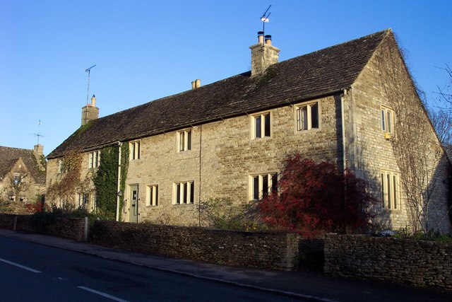
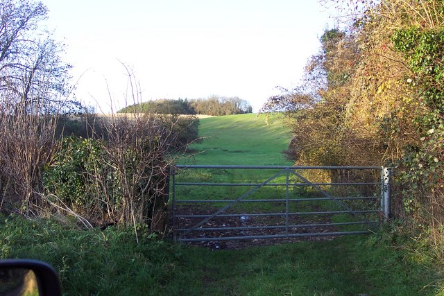
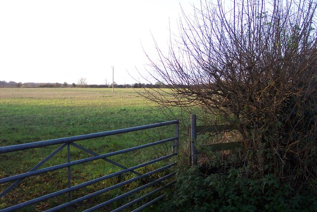
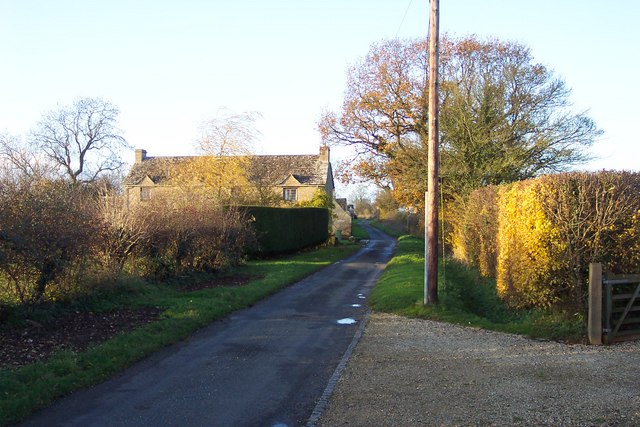
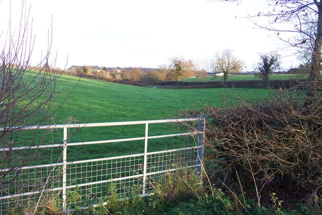
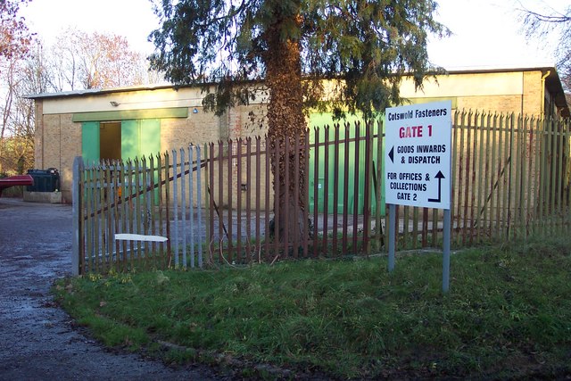
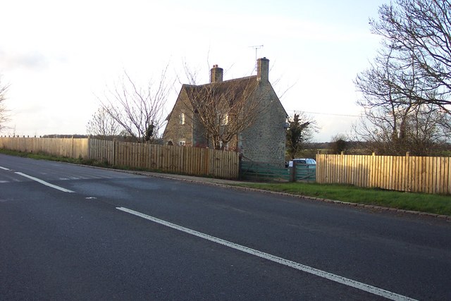
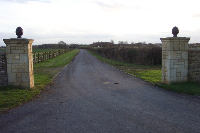
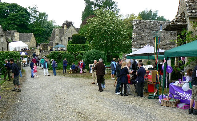
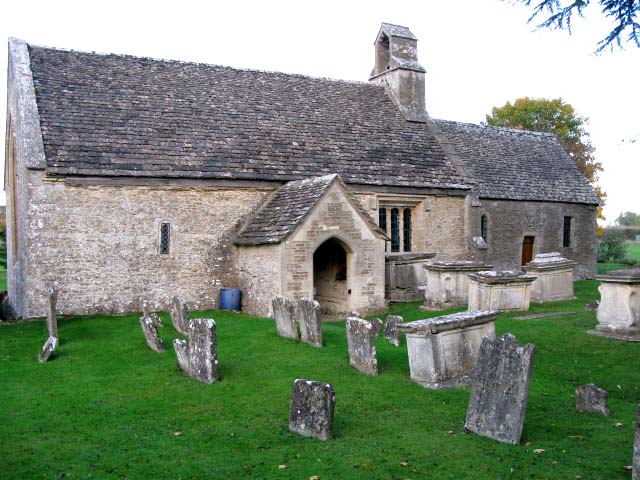
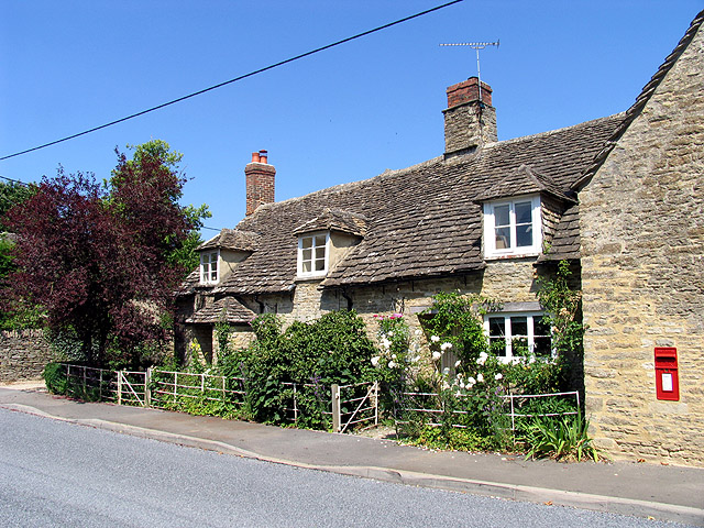
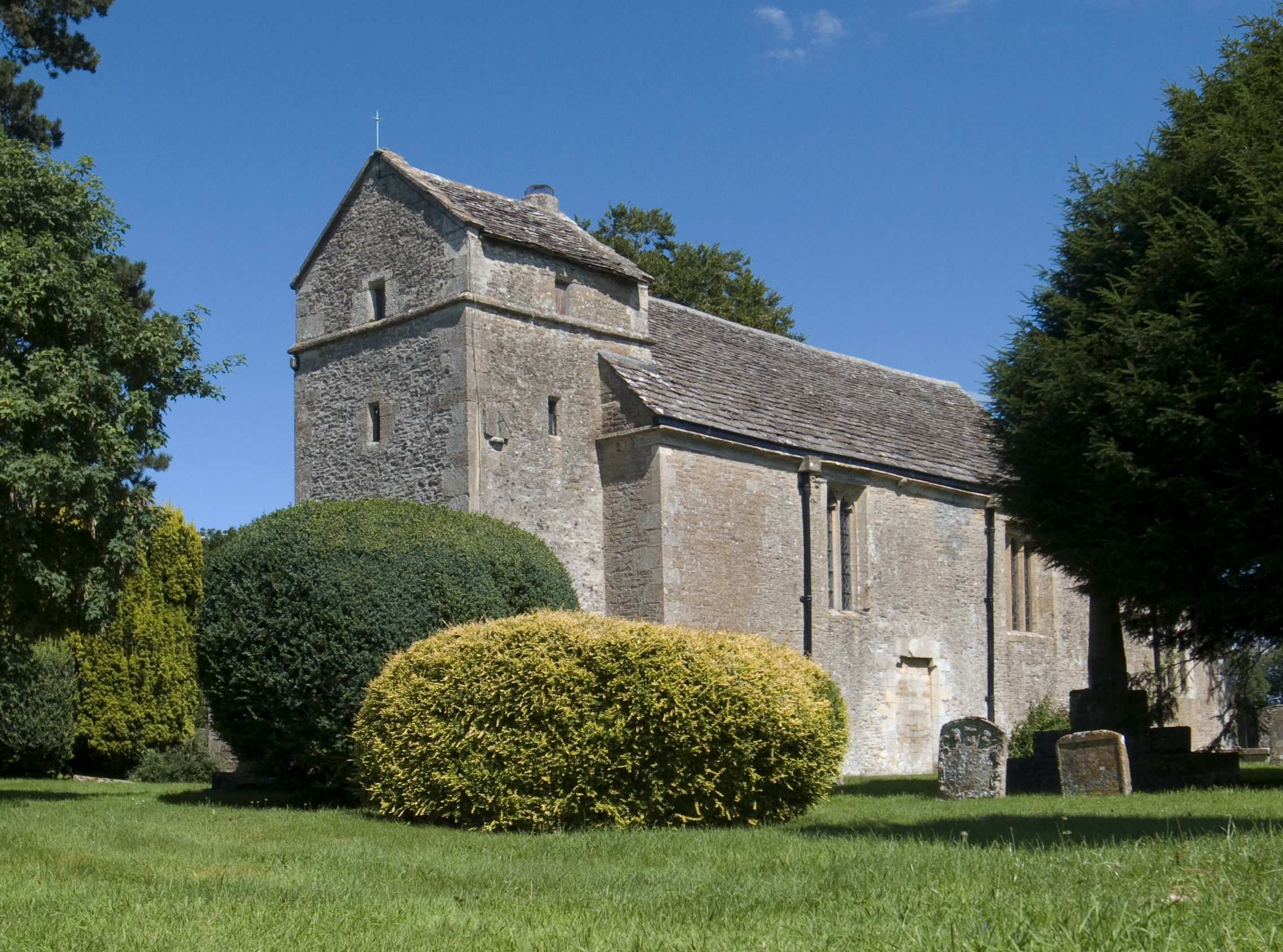
Winterwell Images
Images are sourced within 2km of 51.731346/-1.9059945 or Grid Reference SP0603. Thanks to Geograph Open Source API. All images are credited.

Winterwell is located at Grid Ref: SP0603 (Lat: 51.731346, Lng: -1.9059945)
Administrative County: Gloucestershire
District: Cotswold
Police Authority: Gloucestershire
What 3 Words
///chambers.hurtles.grower. Near Cirencester, Gloucestershire
Nearby Locations
Related Wikis

Ampney Crucis
Ampney Crucis is a village and civil parish in the Cotswolds, part of the Cotswold District of Gloucestershire, England. The village is in the Ampney-Coln...

Ampney Park
Ampney Park is a 16th century manor house at Ampney Crucis, Gloucestershire, England. It is a Grade II listed building. == History == The estate is attached...

Church of the Holy Rood, Ampney Crucis
The Anglican Church of the Holy Rood at Ampney Crucis in the Cotswold District of Gloucestershire, England has Saxon foundations with some of the stonework...
Barnsley, Gloucestershire
Barnsley is a village and civil parish in the Cotswold district of Gloucestershire, England, 3.7 miles (6.0 km) northeast of Cirencester. It is 125 kilometres...
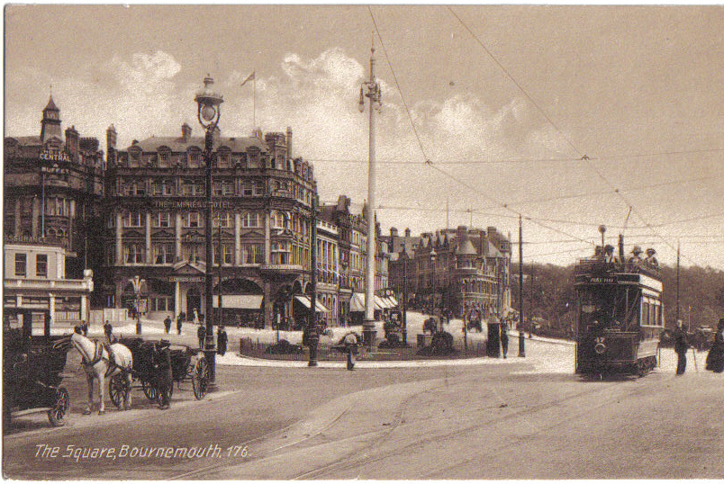
Bournemouth Corporation Tramways
Bournemouth Corporation Tramways served the town of Bournemouth in Dorset (although at the time it was in Hampshire) from 23 July 1902 until 8 April 1936...
Church of St Mary, Ampney St Mary
The Anglican Church of St Mary at Ampney St Mary in the Cotswold District of Gloucestershire, England was built in the 12th and 13th centuries. It is a...
Preston, Cotswold
Preston is a village and civil parish in Gloucestershire, England, situated 2.2 km south-east of the town of Cirencester. It is administered by the Cotswold...
Ampney St Peter
Ampney St Peter is a small village and civil parish in the Cotswolds, part of the Cotswold of Gloucestershire, England. According to the 2014 mid year...
Nearby Amenities
Located within 500m of 51.731346,-1.9059945Have you been to Winterwell?
Leave your review of Winterwell below (or comments, questions and feedback).