Alwoodley

Civil Parish in Yorkshire Leeds

England

Alwoodley

Eccup Reservoir Eccup reservoir has a viewing platform where many people enjoy watching the Red Kites
Eccup Reservoir Credit: Mick Melvin

Alwoodley is a civil parish located in the county of Yorkshire, England. It is situated approximately five miles north of Leeds city center. The parish covers an area of around 3.5 square miles and is bordered by the parishes of Shadwell, Adel, and Roundhay.

Alwoodley is a predominantly residential area known for its affluent and leafy surroundings. It is characterized by its spacious houses, many of which are large detached properties set within generous grounds. The area is popular with families and professionals who appreciate its peaceful atmosphere and proximity to the city.

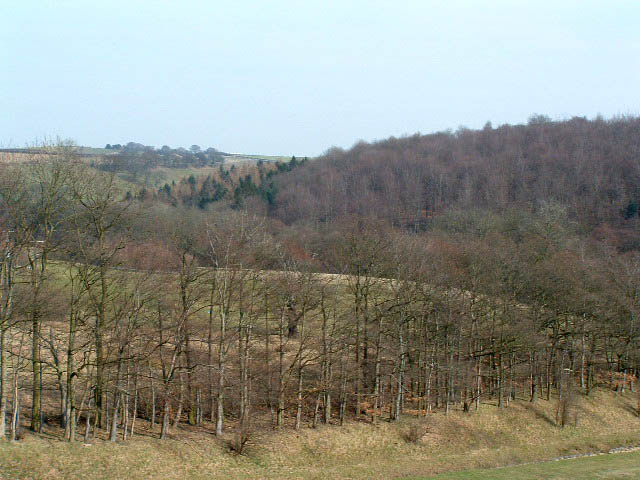
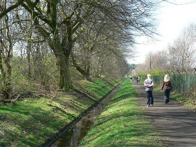
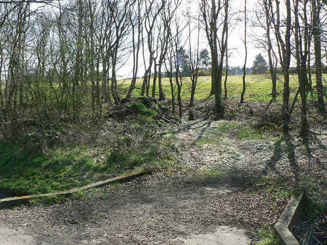
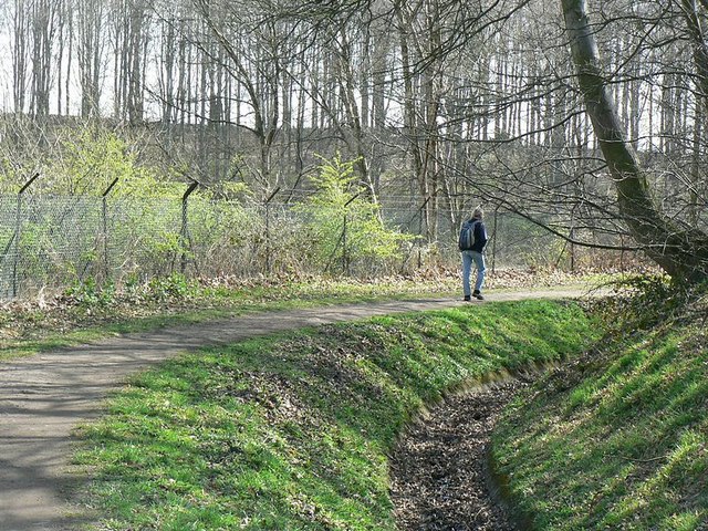
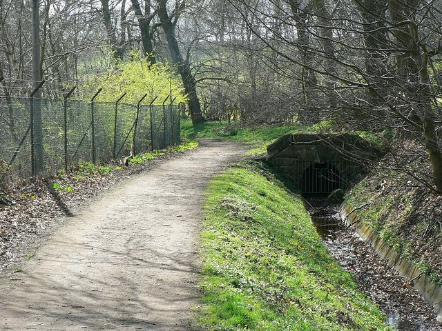
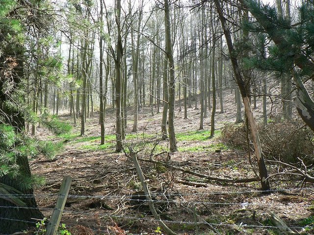
The landscape of Alwoodley is varied, with open green spaces, parks, and woodland areas interspersed throughout the parish. The area is home to several golf courses, including the prestigious Alwoodley Golf Club, which is known for its challenging course and stunning views.

In terms of amenities, Alwoodley has a range of local shops, restaurants, and pubs, providing residents with convenient access to everyday essentials. There are also several schools in the area, both state and private, offering a choice of educational options for families.

Alwoodley benefits from excellent transport links, with major roads such as the A61 and A6120 nearby, providing easy access to Leeds and other destinations in Yorkshire. There are also regular bus services connecting the parish to the city center and surrounding areas.

Overall, Alwoodley is a highly desirable residential area with a strong sense of community, offering a peaceful retreat from the bustling city while still providing easy access to amenities and transport links.

If you have any feedback on the listing, please let us know in the comments section below.
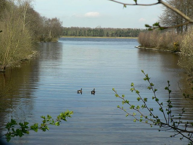
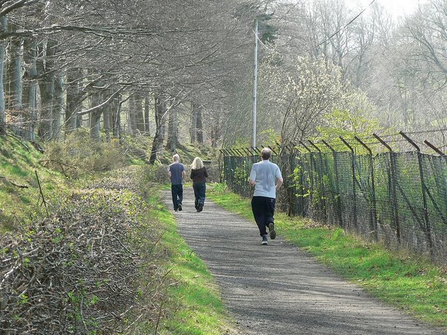
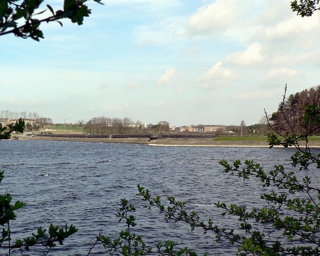
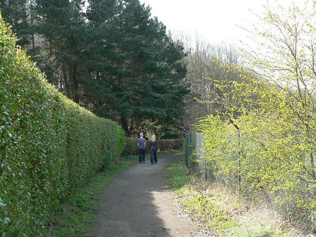
Alwoodley Images

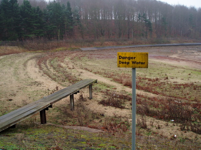
Images are sourced within 2km of 53.869848/-1.558003 or Grid Reference SE2941. Thanks to Geograph Open Source API. All images are credited.

Eccup Reservoir Eccup reservoir has a viewing platform where many people enjoy watching the Red Kites
Eccup Reservoir
Eccup reservoir has a viewing platform where many people enjoy watching the Red Kites
Sandmoor Golf Club, Alwoodley Lane, Leeds The main entrance, on the north side of Alwoodley Lane.
Sandmoor Golf Club, Alwoodley Lane, Leeds
The main entrance, on the north side of Alwoodley Lane.
High Wood from Eccup reservoir dam Looking west from the dam.  From this spot you are very likely to see red kite.
High Wood from Eccup reservoir dam
Looking west from the dam. From this spot you are very likely to see red kite.
Eccup Reservoir
Eccup Reservoir
Eccup Reservoir (?) Don't dive from the board
Eccup Reservoir (?)
Don't dive from the board
Dead tree Backed up by the water works at Eccup Reservoir
Dead tree
Backed up by the water works at Eccup Reservoir
Herd Farm Tucked away in the valley below Eccup Reservoir and hidden by the waterworks it only really shows itself from the middle of dam head.
Herd Farm
Tucked away in the valley below Eccup Reservoir and hidden by the waterworks it only really shows itself from the middle of dam head.
Path and ditch by Eccup Reservoir The reservoir is on the left behind the fence which runs all along the southern side. On the right is Sandmoor Golf Club and the former site of Alwoodley Old Hall, which was demolished in 1969. A picture from 1950 is on the Leodis archive <span class="nowrap"><a title="http://www.leodis.net/display.aspx?resourceIdentifier=20021010_98472232" rel="nofollow ugc noopener" href="http://www.leodis.net/display.aspx?resourceIdentifier=20021010_98472232">Link</a><img style="margin-left:2px;" alt="External link" title="External link - shift click to open in new window" src="https://s1.geograph.org.uk/img/external.png" width="10" height="10"/></span>

Turn round and continue the walk round the reservoir with <a href="https://www.geograph.org.uk/photo/394603">SE2941 : Eccup Reservoir in spring</a>
Path and ditch by Eccup Reservoir
The reservoir is on the left behind the fence which runs all along the southern side. On the right is Sandmoor Golf Club and the former site of Alwoodley Old Hall, which was demolished in 1969. A picture from 1950 is on the Leodis archive LinkExternal link Turn round and continue the walk round the reservoir with SE2941 : Eccup Reservoir in spring
Path between the Golf Course and Reservoir A long straight (and rather boring) stretch of the path. When you get to the corner look back at <a href="https://www.geograph.org.uk/photo/394611">SE3041 : Path and ditch by Eccup Reservoir</a>
Path between the Golf Course and Reservoir
A long straight (and rather boring) stretch of the path. When you get to the corner look back at SE3041 : Path and ditch by Eccup Reservoir
Bridge to Sandmoor Golf Course Over the ditch from the footpath by Eccup Reservoir. Don't cross it, but follow <a href="https://www.geograph.org.uk/photo/394616">SE3041 : Path between the Golf Course and Reservoir</a>
Bridge to Sandmoor Golf Course
Over the ditch from the footpath by Eccup Reservoir. Don't cross it, but follow SE3041 : Path between the Golf Course and Reservoir
Going round the corner Looking back along the path as it rounds the corner to go round the inlet between Sandmoor Golf Course (this side) and Wigton Knowle (far side).
Turn round to follow the path to <a href="https://www.geograph.org.uk/photo/394622">SE3041 : Bridge to Sandmoor Golf Course</a>
Going round the corner
Looking back along the path as it rounds the corner to go round the inlet between Sandmoor Golf Course (this side) and Wigton Knowle (far side). Turn round to follow the path to SE3041 : Bridge to Sandmoor Golf Course
End of the drain The drain along the south side of Eccup Reservoir goes into a pipe here. Carry on the circuit of Eccup Reservoir at <a href="https://www.geograph.org.uk/photo/394631">SE3041 : Going round the corner</a>
End of the drain
The drain along the south side of Eccup Reservoir goes into a pipe here. Carry on the circuit of Eccup Reservoir at SE3041 : Going round the corner
Inlet by Wigton Knowle, Eccup Reservoir A calm corner on a windy day.
Follow the circuit of Eccup Reservoir. Next is <a href="https://www.geograph.org.uk/photo/394637">SE3041 : End of the drain</a>
Inlet by Wigton Knowle, Eccup Reservoir
A calm corner on a windy day. Follow the circuit of Eccup Reservoir. Next is SE3041 : End of the drain
Path near the end of an inlet, Eccup Reservoir This runs into a small valley by Wigton Knowle, and I was expecting to a see a stream running into the reservoir, but didn't. It's probably been diverted to avoid   undesirable stuff getting into the water supply.
Continue the circuit of Eccup Reservoir at <a href="https://www.geograph.org.uk/photo/394641">SE3041 : Inlet by Wigton Knowle, Eccup Reservoir</a>.
Path near the end of an inlet, Eccup Reservoir
This runs into a small valley by Wigton Knowle, and I was expecting to a see a stream running into the reservoir, but didn't. It's probably been diverted to avoid undesirable stuff getting into the water supply. Continue the circuit of Eccup Reservoir at SE3041 : Inlet by Wigton Knowle, Eccup Reservoir.
Footpath between Wigton Knowle and Eccup Reservoir Much of the south side of the reservoir is a bit hidden by the fence, bushes and saplings.
Next on the circuit of Eccup Reservoir is <a href="https://www.geograph.org.uk/photo/394850">SE3041 : Path near the end of an inlet, Eccup Reservoir</a>
Footpath between Wigton Knowle and Eccup Reservoir
Much of the south side of the reservoir is a bit hidden by the fence, bushes and saplings. Next on the circuit of Eccup Reservoir is SE3041 : Path near the end of an inlet, Eccup Reservoir
Looking across Eccup Reservoir at the dam From the path alongside Wigton Knowle. The wire fence and bushes made it necessary to hold the camera above my head for this one.
Next go to <a href="https://www.geograph.org.uk/photo/394850">SE3041 : Path near the end of an inlet, Eccup Reservoir</a>
Looking across Eccup Reservoir at the dam
From the path alongside Wigton Knowle. The wire fence and bushes made it necessary to hold the camera above my head for this one. Next go to SE3041 : Path near the end of an inlet, Eccup Reservoir
Path by The Lodge and Wigton Knowle The lodge is at the end of the dam, by Yorkshire Water's road that comes in from the A61 Harrogate Road.
Continue round the reservoir at <a href="https://www.geograph.org.uk/photo/394887">SE3041 : Wigton Knowle</a>
Path by The Lodge and Wigton Knowle
The lodge is at the end of the dam, by Yorkshire Water's road that comes in from the A61 Harrogate Road. Continue round the reservoir at SE3041 : Wigton Knowle
Wigton Knowle Woodland by the lodge at the east end of Eccup reservoir.

Continue on the circuit of Eccup Reservoir with <a href="https://www.geograph.org.uk/photo/394870">SE3041 : Looking across Eccup Reservoir at the dam</a>
Wigton Knowle
Woodland by the lodge at the east end of Eccup reservoir. Continue on the circuit of Eccup Reservoir with SE3041 : Looking across Eccup Reservoir at the dam
Show me another place!

Alwoodley is located at Grid Ref: SE2941 (Lat: 53.869848, Lng: -1.558003)

Division: West Riding

Administrative County: West Yorkshire

District: Leeds

Police Authority: West Yorkshire

What 3 Words

///fans.else.leaps. Near Bramhope, West Yorkshire

Related Wikis

Eccup

Eccup is a village in the parish of Alwoodley and north of the City of Leeds, West Yorkshire, England. It is just north of Alwoodley and east of Bramhope...
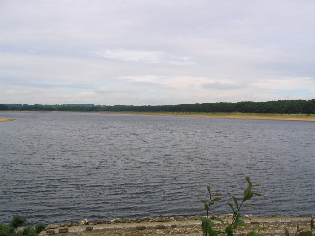
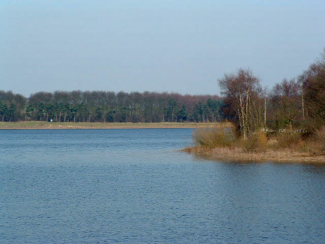
Eccup Reservoir

Eccup Reservoir is a reservoir in Alwoodley, a suburb of Leeds, West Yorkshire, England, near the village of Eccup. It was first constructed in 1843, and...
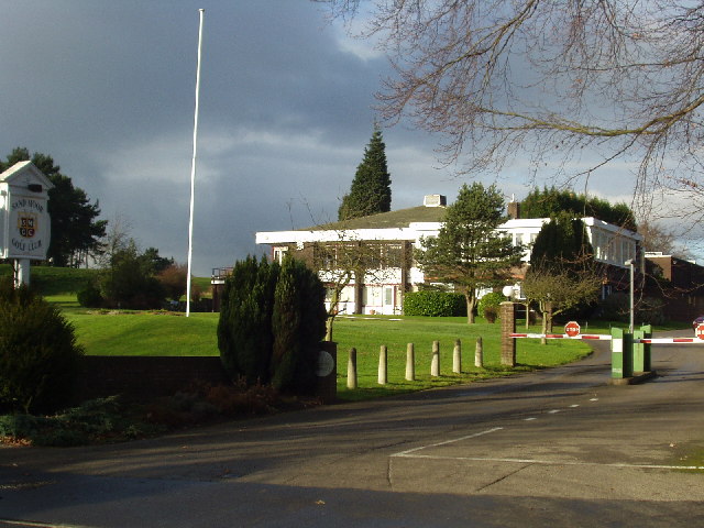
Sand Moor Golf Club

Sand Moor Golf Club is a golf club located in Alwoodley, North Leeds, West Yorkshire, England. It was founded in 1925. The 18-hole golf course was designed...

1929 Ryder Cup

The 2nd Ryder Cup Matches were held at the Moortown Golf Club in Leeds, England. It was very cold, with hail and at one point heavy snow on the greens...

Alwoodley

Alwoodley is a suburb and civil parish of Leeds in West Yorkshire, England. It is 5 miles (8.0 km) north of central Leeds and is one of the most affluent...
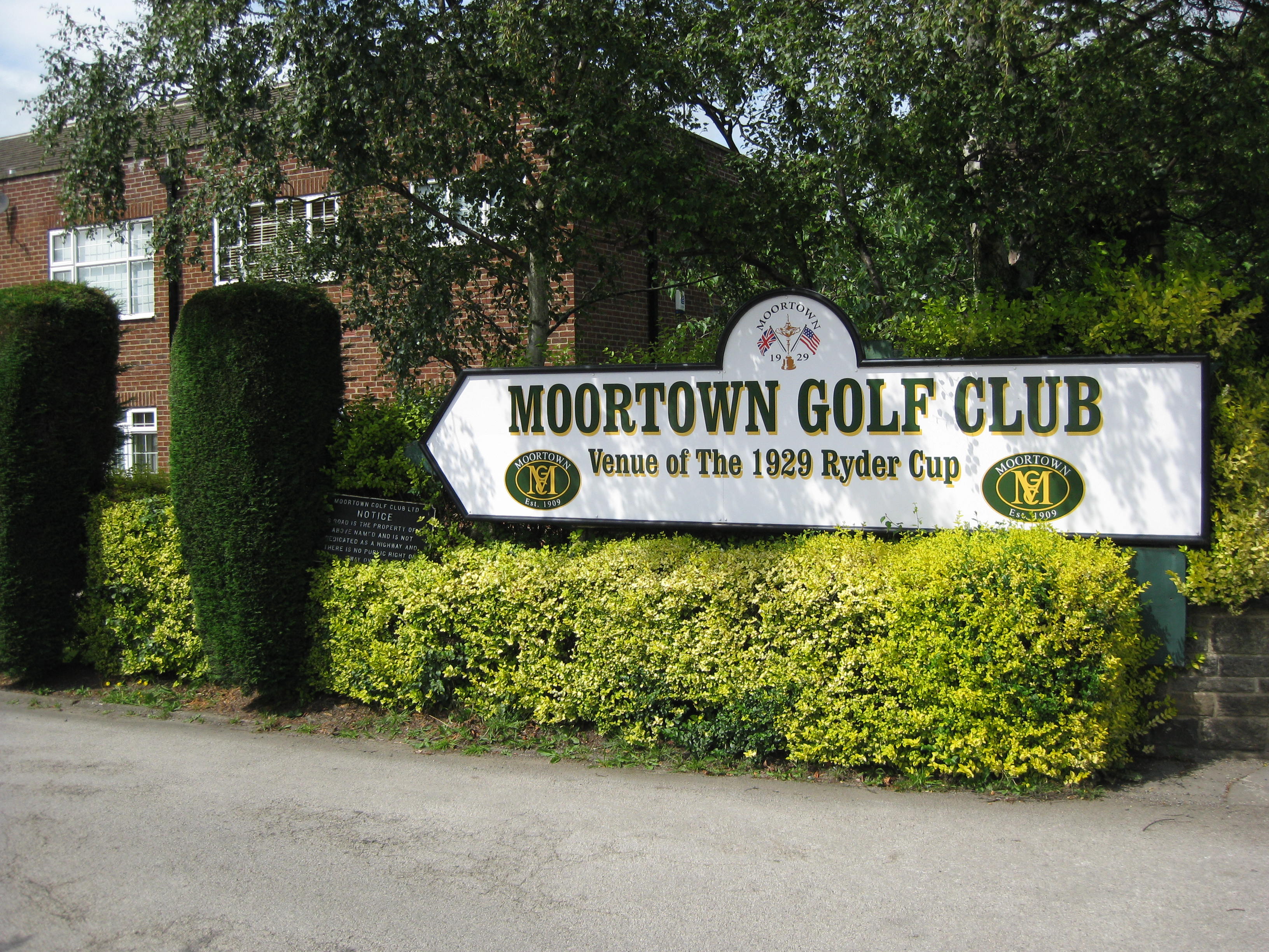
Moortown Golf Club

Moortown Golf Club is a golf club located in Alwoodley, near Leeds, West Yorkshire, England. It was founded in 1909, and the championship golf course was...

Golden Acre Park

Golden Acre Park is a public park in Bramhope, Leeds, West Yorkshire, England (grid reference SE267417), administered by Leeds City Council. It is on...

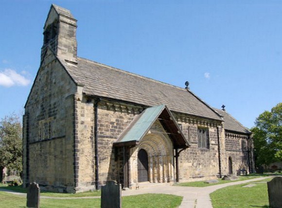
St John the Baptist Church, Adel

The Grade I listed, mainly Norman Church of Saint John the Baptist in Adel, Leeds, West Yorkshire, England has been described by Nicholas Pevsner as 'one...

Nearby Amenities

Located within 500m of 53.869848,-1.558003
Barrier: stile
Bicycle: no
Foot: yes
Horse: no
Material: wood
Motor Vehicle: no
Stile: stepover
Lat/Long: 53.8664657/-1.5602476
Barrier: stile
Bicycle: no
Foot: yes
Horse: no
Material: wood
Motor Vehicle: no
Stile: stepover
Lat/Long: 53.8690445/-1.5610961
Barrier: stile
Foot: yes
Horse: no
Material: wood
Motor Vehicle: no
Stile: squeezer
Lat/Long: 53.8698847/-1.5616368
The data included in this document is from www.openstreetmap.org. The data is made available under ODbL.

Have you been to Alwoodley?

Leave your review of Alwoodley below (or comments, questions and feedback).