Goodrick Plantation
Wood, Forest in Yorkshire
England
Goodrick Plantation

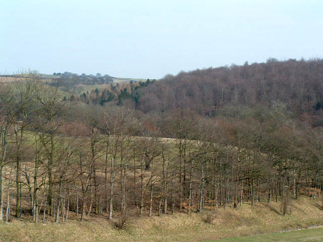
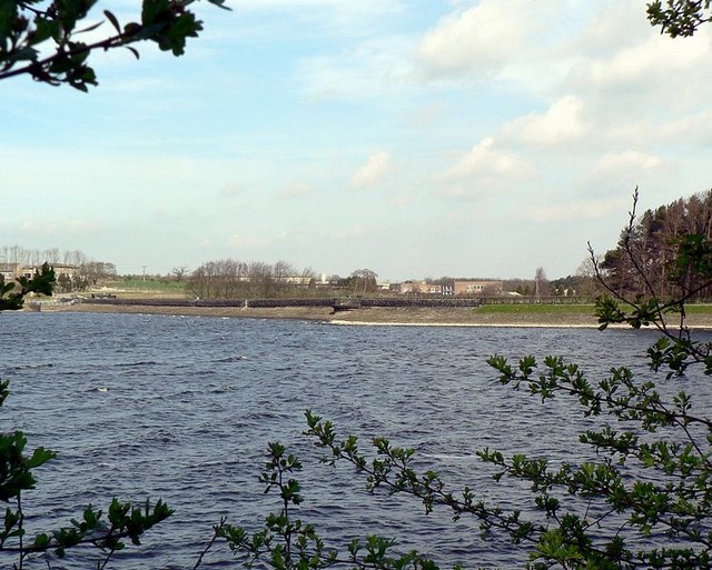
Goodrick Plantation is a picturesque woodland located in the region of Yorkshire, England. Situated in the heart of the Yorkshire countryside, the plantation covers a vast area of land, offering visitors a serene and natural escape from the hustle and bustle of urban life.
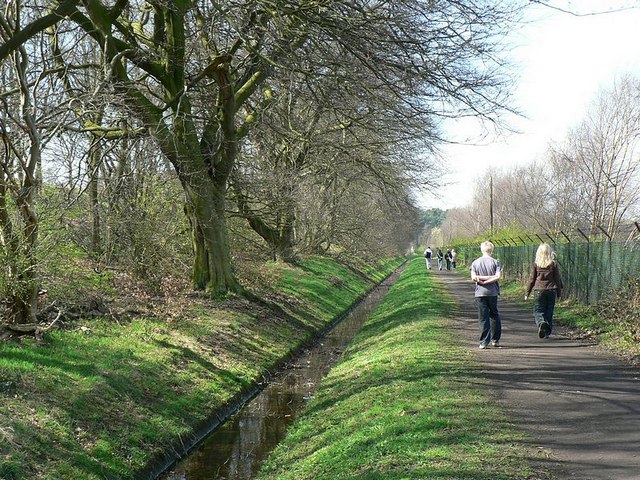
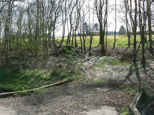
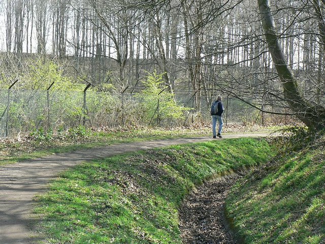
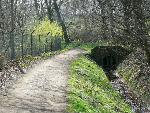
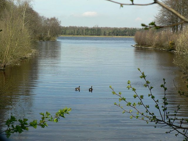
The plantation is predominantly made up of dense and thriving forests, filled with a variety of trees including oak, birch, and beech. These trees create a stunning canopy overhead, providing shade in the summer months and a beautiful display of colors during the autumn season. The woodland floor is adorned with an array of wildflowers and moss, adding to the enchanting atmosphere.
Goodrick Plantation is home to a diverse range of wildlife, making it a popular destination for nature enthusiasts and bird watchers. Visitors may spot various species such as deer, foxes, rabbits, and a wide assortment of birdlife, including woodpeckers and owls.
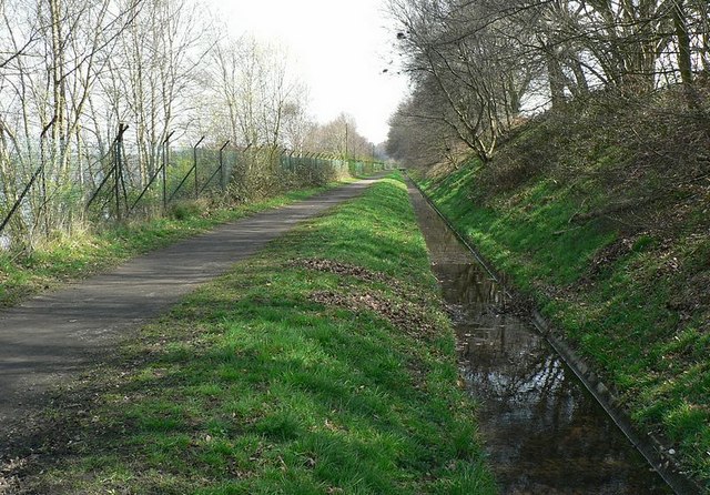
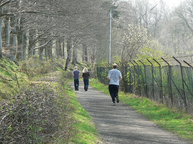
To enhance the visitor experience, the plantation offers well-maintained footpaths and trails, allowing visitors to explore the woodland at their own pace. These paths wind through the forest, leading to tranquil ponds, picturesque viewpoints, and secluded picnic spots.
In addition to its natural beauty, Goodrick Plantation also boasts a rich historical significance. The land has been used for centuries, with remnants of old cottages and agricultural structures still visible. This adds a sense of charm and a glimpse into the area's past.
Overall, Goodrick Plantation is a captivating woodland retreat in Yorkshire, offering visitors a chance to immerse themselves in nature, observe wildlife, and reconnect with the tranquility of the great outdoors.
If you have any feedback on the listing, please let us know in the comments section below.
Goodrick Plantation Images
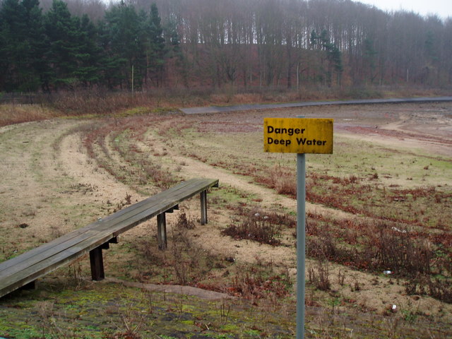
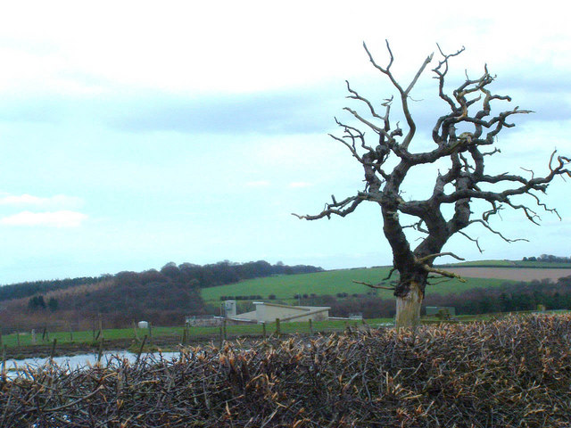
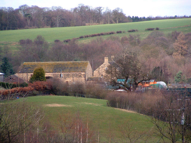
Images are sourced within 2km of 53.868666/-1.5516339 or Grid Reference SE2941. Thanks to Geograph Open Source API. All images are credited.


Goodrick Plantation is located at Grid Ref: SE2941 (Lat: 53.868666, Lng: -1.5516339)
Division: West Riding
Unitary Authority: Leeds
Police Authority: West Yorkshire
What 3 Words
///voters.sizes.rear. Near Chapel Allerton, West Yorkshire
Nearby Locations
Related Wikis

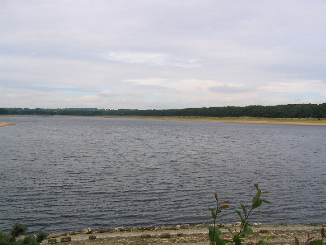
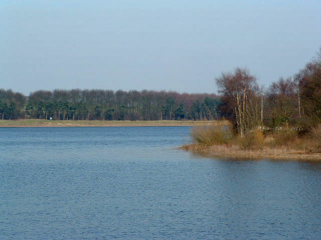
Eccup Reservoir
Eccup Reservoir is a reservoir in Alwoodley, a suburb of Leeds, West Yorkshire, England, near the village of Eccup. It was first constructed in 1843, and...

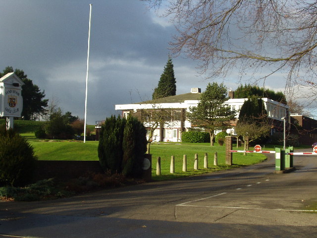
Sand Moor Golf Club
Sand Moor Golf Club is a golf club located in Alwoodley, North Leeds, West Yorkshire, England. It was founded in 1925. The 18-hole golf course was designed...

Eccup
Eccup is a village in the parish of Alwoodley and north of the City of Leeds, West Yorkshire, England. It is just north of Alwoodley and east of Bramhope...
1929 Ryder Cup
The 2nd Ryder Cup Matches were held at the Moortown Golf Club in Leeds, England. It was very cold, with hail and at one point heavy snow on the greens...
Nearby Amenities
Located within 500m of 53.868666,-1.5516339Have you been to Goodrick Plantation?
Leave your review of Goodrick Plantation below (or comments, questions and feedback).