Stag Royd Wood

Wood, Forest in Yorkshire

England

Stag Royd Wood

The view from Woolley Edge Looking over Savin Royd Wood and the Dearne Valley. On the skyline are the Emley Moor television masts.
The view from Woolley Edge Credit: Graham Hogg

Stag Royd Wood is a picturesque woodland located in Yorkshire, England. Covering an area of approximately 50 acres, this enchanting forest is nestled within the rolling hills and valleys of the Yorkshire countryside.

The wood is primarily composed of native tree species such as oak, beech, birch, and ash, which create a diverse and vibrant ecosystem. The dense canopy of leaves provides a sheltered habitat for a variety of wildlife, including birds, squirrels, and deer, which are a common sight within the wood.

Visitors to Stag Royd Wood can enjoy a network of well-maintained footpaths that wind through the forest, allowing for peaceful walks and exploration. The paths meander alongside babbling brooks and through clearings adorned with wildflowers, providing a tranquil and immersive experience in nature.

The wood is particularly renowned for its stunning display of bluebells during the spring months, transforming the forest floor into a carpet of vibrant purple. This annual spectacle attracts nature enthusiasts and photographers from far and wide, who come to capture the beauty of this natural phenomenon.

Stag Royd Wood also offers picnic areas and seating spots, allowing visitors to pause and appreciate the serene surroundings. The wood is open to the public year-round, and admission is free, making it an accessible destination for everyone.

Whether it's for a leisurely stroll, birdwatching, or simply to immerse oneself in the beauty of nature, Stag Royd Wood provides a welcome escape from the hustle and bustle of everyday life.

If you have any feedback on the listing, please let us know in the comments section below.

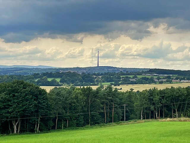
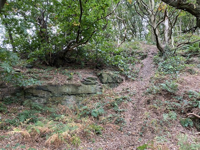
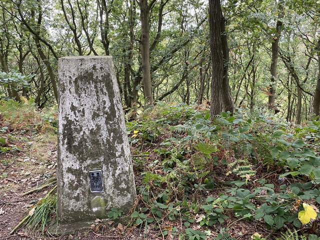
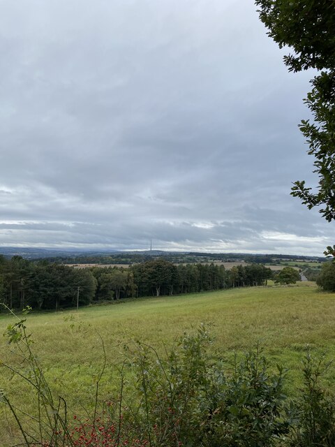
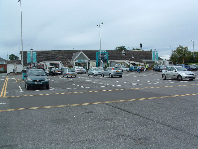
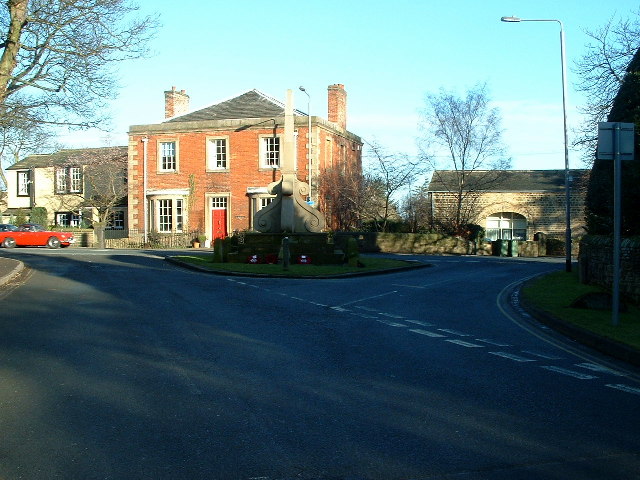
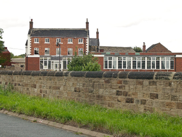
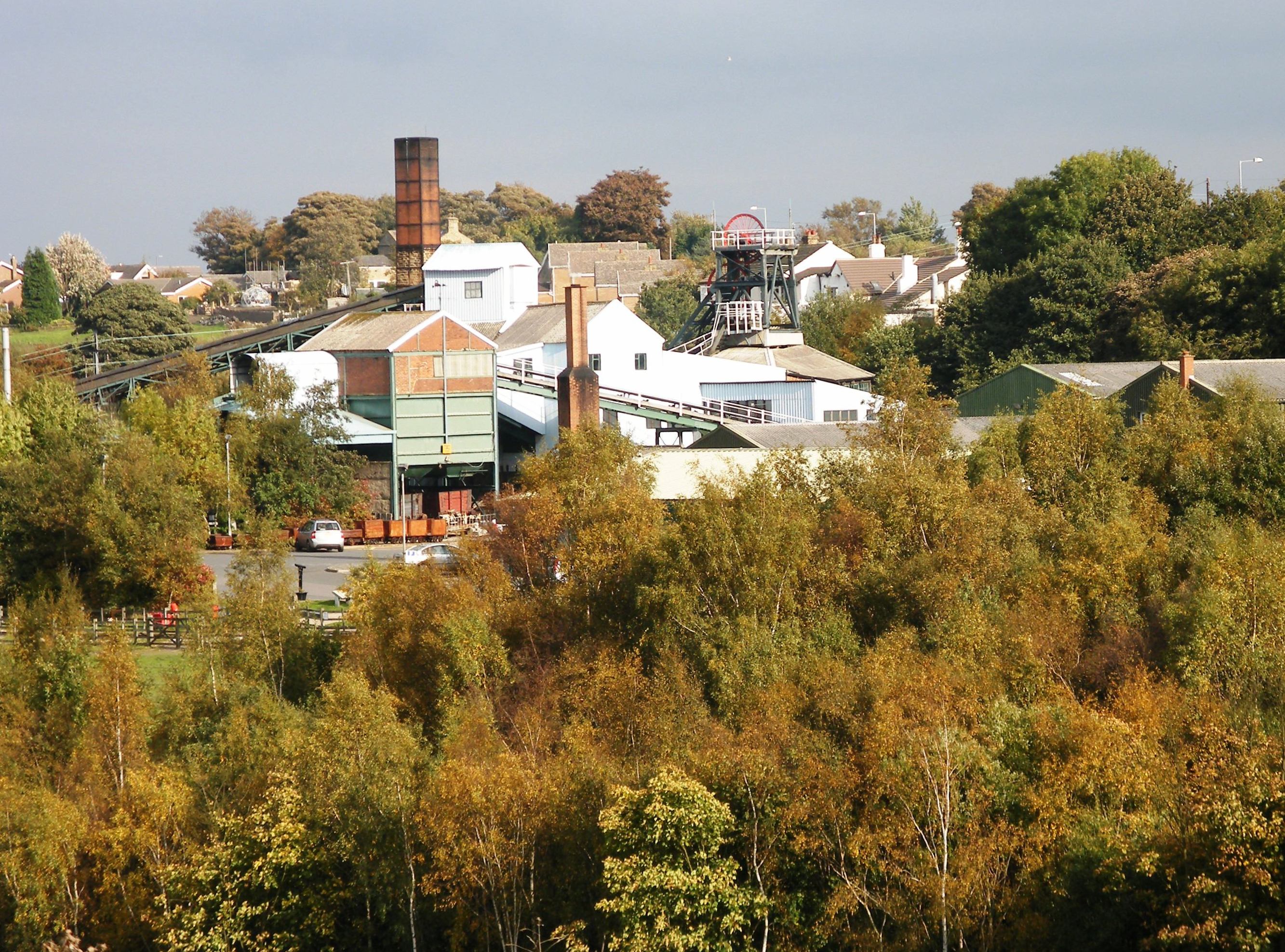
Stag Royd Wood Images

Images are sourced within 2km of 53.629583/-1.5541557 or Grid Reference SE2914. Thanks to Geograph Open Source API. All images are credited.

The view from Woolley Edge Looking over Savin Royd Wood and the Dearne Valley. On the skyline are the Emley Moor television masts.
The view from Woolley Edge
Looking over Savin Royd Wood and the Dearne Valley. On the skyline are the Emley Moor television masts.
One of a myriad of paths on the way to Woolley Edge Trig Point
Woolley Edge Trig Point Flush Bracket S1785
View from Woolley Edge View Point
Warning! Pedestrians use Hollingthorpe Lane A reminder for the few vehicle drivers that this is a popular public bridleway.
Warning! Pedestrians use Hollingthorpe Lane
A reminder for the few vehicle drivers that this is a popular public bridleway.
Farm sheds, Hollingthorpe Part of a large and anonymous complex of unknown purpose, on the west side of Hollingthorpe Lane.
Farm sheds, Hollingthorpe
Part of a large and anonymous complex of unknown purpose, on the west side of Hollingthorpe Lane.
House being modified, Hollingthorpe Lane Windows have been added upstairs and in the tower, and a ground floor extension removed. The original building is no later than Victorian.
House being modified, Hollingthorpe Lane
Windows have been added upstairs and in the tower, and a ground floor extension removed. The original building is no later than Victorian.
Hollingthorpe farmland West of Hollingthorpe Lane and about 85 metres above sea level.
Hollingthorpe farmland
West of Hollingthorpe Lane and about 85 metres above sea level.
Farm building, Hollingthorpe Farm Probably no longer used for its original purpose as a cattery is now based at the farm.
Farm building, Hollingthorpe Farm
Probably no longer used for its original purpose as a cattery is now based at the farm.
Cereal field and a hilltop plantation, Hollingthorpe Difficult to believe that a colliery railway once ran across the field to this point. But the woodland is Painthorpe Plantation, planted on a colliery spoil tip.
Cereal field and a hilltop plantation, Hollingthorpe
Difficult to believe that a colliery railway once ran across the field to this point. But the woodland is Painthorpe Plantation, planted on a colliery spoil tip.
Painthorpe Terrace from Hollingthorpe Lane The three-storey houses were built between 1891 and 1904 to house miners and their families.
Painthorpe Terrace from Hollingthorpe Lane
The three-storey houses were built between 1891 and 1904 to house miners and their families.
Trees along Hollingthorpe Lane Looking north, near Painthorpe.
Trees along Hollingthorpe Lane
Looking north, near Painthorpe.
Path, eastern end of Painthorpe Plantation The woodland was created on a colliery spoil heap.
Path, eastern end of Painthorpe Plantation
The woodland was created on a colliery spoil heap.
Painthorpe Plantation path The woodland was created on a colliery spoil heap.
Painthorpe Plantation path
The woodland was created on a colliery spoil heap.
Path to Daw Lane, Painthorpe The large-scale OS map surveyed in 181 shows a mineral line on this route, running north to the disused Crigglestone Fire Clay Works on the other side of Daw Lane. Behind the wall was then housing called Chemic Cottages.
Path to Daw Lane, Painthorpe
The large-scale OS map surveyed in 181 shows a mineral line on this route, running north to the disused Crigglestone Fire Clay Works on the other side of Daw Lane. Behind the wall was then housing called Chemic Cottages.
Crigglestone All Blacks amateur rugby league club Founded in 1981. In 1891 the foreground was the site of the disused Crigglestone Fire Clay Works.
Crigglestone All Blacks amateur rugby league club
Founded in 1981. In 1891 the foreground was the site of the disused Crigglestone Fire Clay Works.
Houses old and new, Painthorpe In the distance, the three-storey Painthorpe Terrace, built between 1895. The nearer houses were built at least 100 years later.
Houses old and new, Painthorpe
In the distance, the three-storey Painthorpe Terrace, built between 1895. The nearer houses were built at least 100 years later.
Public open space, Painthorpe A mineral line to Crigglestone colliery once ran across this area and on through the gap between the two rows of terraced houses.
Public open space, Painthorpe
A mineral line to Crigglestone colliery once ran across this area and on through the gap between the two rows of terraced houses.
Show me another place!

Stag Royd Wood is located at Grid Ref: SE2914 (Lat: 53.629583, Lng: -1.5541557)

Division: West Riding

Unitary Authority: Wakefield

Police Authority: West Yorkshire

What 3 Words

///visitor.coughed.backtrack. Near Crigglestone, West Yorkshire

Related Wikis

Crigglestone West railway station

Crigglestone West railway station served the village of Crigglestone, West Yorkshire, England from 1850 to 1965 on the Hallam Line. == History == The station...

Woolley Edge services

Woolley Edge services is a motorway service station on the M1 motorway within the borough of the City of Wakefield, West Yorkshire, England. It lies between...

A636 road

The A636 is a main road in West Yorkshire, England, starting at Wakefield (53.6788°N 1.5002°W / 53.6788; -1.5002 (A636 road (northern end))) and connecting...

West Bretton

West Bretton is a village and civil parish near Wakefield, West Yorkshire, England. It lies close to junction 38 of the M1 motorway at Haigh. It has a...

Painthorpe

Painthorpe is a residential area in the Wakefield district, in the English county of West Yorkshire. It is situated southwest of Crigglestone. == Amenities... ==

Sitlington

Sitlington, historically Shitlington, was a township in the ancient ecclesiastical parish of Thornhill in the wapentake of Agbrigg and Morley in the West...

Yorkshire Sculpture Park

The Yorkshire Sculpture Park (YSP) is an art gallery, with both open-air and indoor exhibition spaces, in West Bretton, Wakefield, in West Yorkshire, England...

St Bartholomew's Chapel, West Bretton

St Bartholomew's Chapel is a former estate church in the grounds of Bretton Hall, in West Bretton near Wakefield in West Yorkshire, England. The redundant...

Nearby Amenities

Located within 500m of 53.629583,-1.5541557
Bus Stop
Bretton Lane Woodend Cottage
Local Ref: 45024353
Naptan AtcoCode: 450024353
Naptan Bearing: S
Naptan CommonName: Bretton Lane Woodend Cottage
Naptan Indicator: Stop 45024353
Naptan PlusbusZoneRef: LEEDS
Naptan ShortCommonName: Woodend Cottage
Naptan Street: Bretton Lane
Naptan Verified: no
Source: naptan_import
Lat/Long: 53.6303642/-1.5523127
Bretton Lane Woodend Cottage
Local Ref: 45051439
Naptan AtcoCode: 450051439
Naptan Bearing: N
Naptan BusStopType: CUS
Naptan CommonName: Bretton Lane Woodend Cottage
Naptan Indicator: Stop 45051439
Naptan PlusbusZoneRef: LEEDS
Naptan ShortCommonName: Woodend Cottage
Naptan Street: Bretton Lane
Naptan Verified: no
Source: naptan_import
Lat/Long: 53.630528/-1.5525277
The data included in this document is from www.openstreetmap.org. The data is made available under ODbL.

Have you been to Stag Royd Wood?

Leave your review of Stag Royd Wood below (or comments, questions and feedback).