Amber Hill

Civil Parish in Lincolnshire Boston

England

Amber Hill

Windmill Lodge Butterfly Garden <span class="nowrap"><a title="www.homeforbutterflies.com" rel="nofollow ugc noopener" href="http://www.homeforbutterflies.com">Link</a><img style="margin-left:2px;" alt="External link" title="External link - shift click to open in new window" src="https://s1.geograph.org.uk/img/external.png" width="10" height="10"/></span>
Award winning butterfly garden in Amber Hill. 2017 shot of the wild flower meadow leading into the woodland garden.
Windmill Lodge Butterfly Garden Credit: Phil Bowler

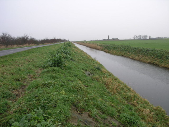
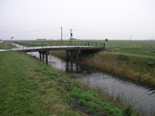
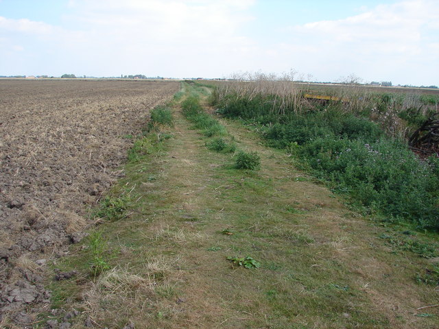
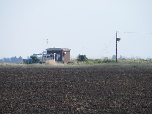
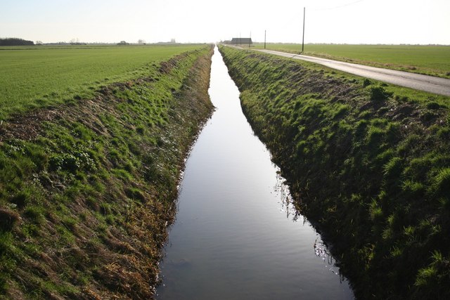
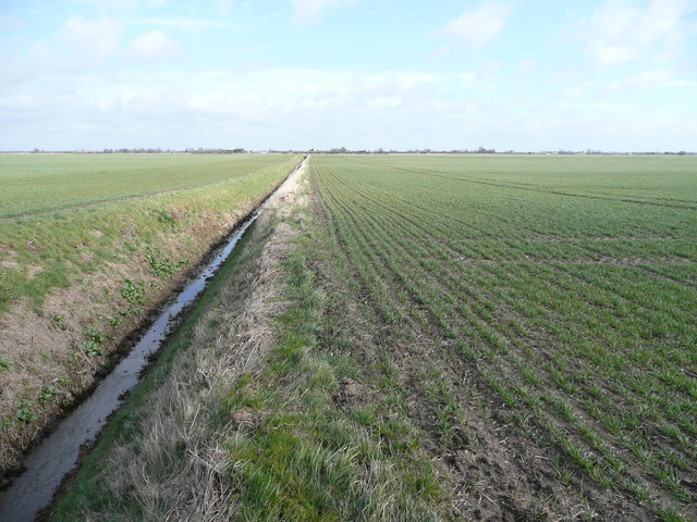
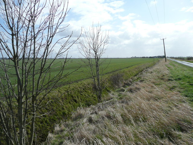
Amber Hill is a civil parish located in the county of Lincolnshire, England. Situated in the East Lindsey district, it is a rural area with a small population. The parish covers an area of approximately 5 square miles and is surrounded by agricultural land, providing a picturesque countryside setting.

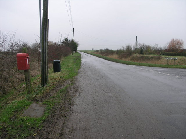
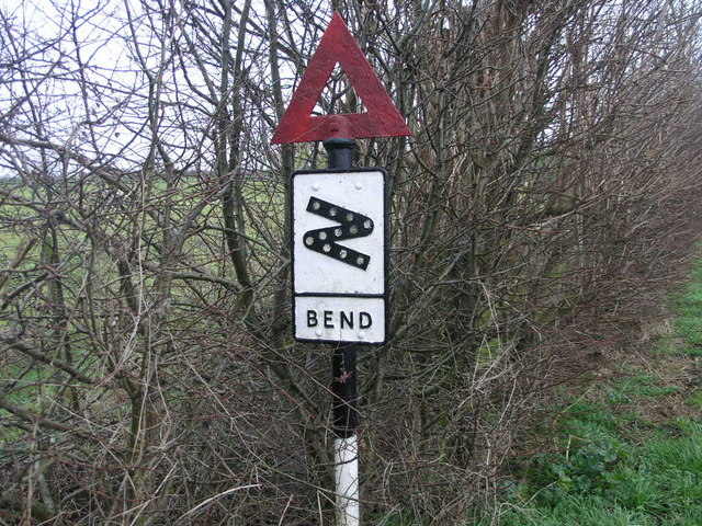
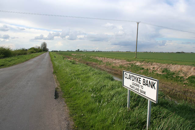
The village of Amber Hill itself is a small settlement with a tight-knit community. It features a mix of residential properties, including traditional cottages and modern houses. The parish is mainly accessed via local roads, with the B1192 running through the area, connecting it to nearby towns and villages.

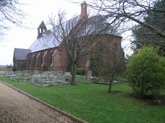
One notable feature of Amber Hill is the St. Peter's Church, a historic building that dates back to the 13th century. The church serves as a place of worship for the community and is also a significant architectural and historical site.

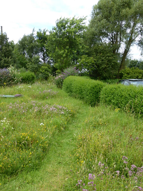
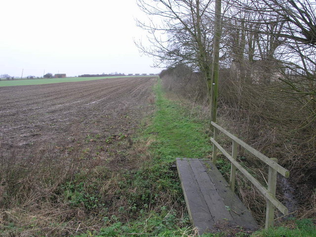
Although small in size, Amber Hill offers a peaceful and tranquil environment for its residents. The surrounding fields and countryside provide opportunities for outdoor activities such as walking, cycling, and exploring nature. The parish is also within close proximity to the coastal town of Skegness, offering access to sandy beaches and tourist attractions.

In terms of amenities, Amber Hill has limited facilities within the village itself. However, nearby towns and villages provide a range of services including shops, schools, and healthcare facilities.

Overall, Amber Hill, Lincolnshire is a charming civil parish that offers a rural lifestyle with access to nearby towns and the coastline.

If you have any feedback on the listing, please let us know in the comments section below.
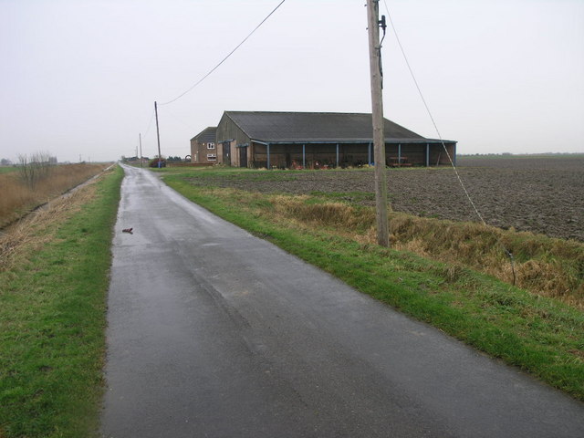
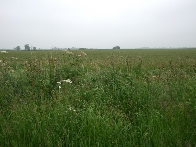
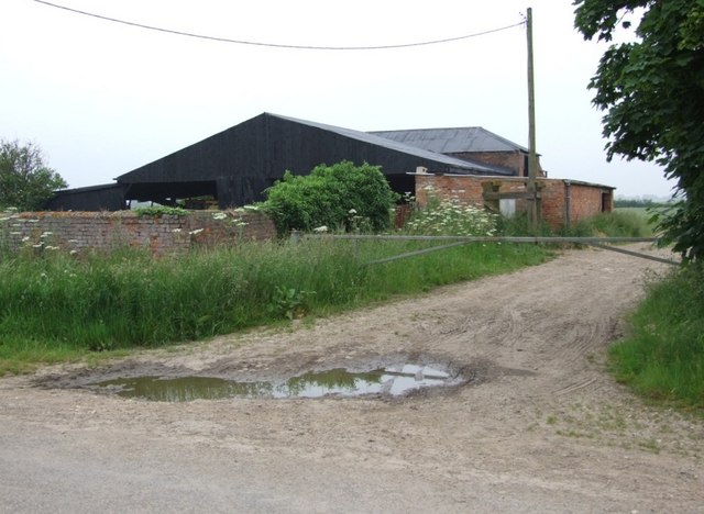
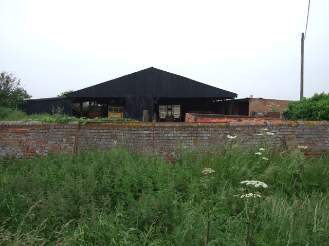
Amber Hill Images

Images are sourced within 2km of 53.007221/-0.179817 or Grid Reference TF2247. Thanks to Geograph Open Source API. All images are credited.

Windmill Lodge Butterfly Garden <span class="nowrap"><a title="www.homeforbutterflies.com" rel="nofollow ugc noopener" href="http://www.homeforbutterflies.com">Link</a><img style="margin-left:2px;" alt="External link" title="External link - shift click to open in new window" src="https://s1.geograph.org.uk/img/external.png" width="10" height="10"/></span>
Award winning butterfly garden in Amber Hill. 2017 shot of the wild flower meadow leading into the woodland garden.
Windmill Lodge Butterfly Garden
LinkExternal link Award winning butterfly garden in Amber Hill. 2017 shot of the wild flower meadow leading into the woodland garden.
Red Box on a Grey Day This old (GR) post box provides a little colour in this grey and green fenland.
Evison's (Corn) Mill once stood on the corner of the piece of land opposite.
Red Box on a Grey Day
This old (GR) post box provides a little colour in this grey and green fenland. Evison's (Corn) Mill once stood on the corner of the piece of land opposite.
Path up the Hill This footpath crosses over Amber Hill which can be seen rising inches above the surrounding fens.
Path up the Hill
This footpath crosses over Amber Hill which can be seen rising inches above the surrounding fens.
Sharp Bend Sign This sign warning of sharp bends looks like it has seen at least half a century of service.
Sharp Bend Sign
This sign warning of sharp bends looks like it has seen at least half a century of service.
Sharp Bend Sign Other Way Unlike the sign that warns of the sharp bends coming from the other direction, this one has at least had its red triangle painted.
Sharp Bend Sign Other Way
Unlike the sign that warns of the sharp bends coming from the other direction, this one has at least had its red triangle painted.
Clay Dike Clay Dike joins the South Forty Foot Drain a short distance south of here.
Clay Dike
Clay Dike joins the South Forty Foot Drain a short distance south of here.
Clay Dike Bridge This bridge carries a footpath over Clay Dike and joins one fen road to another.
Clay Dike Bridge
This bridge carries a footpath over Clay Dike and joins one fen road to another.
Fenland Church This church, dedicated to St John, is one of only a handful of buildings in this square. It became redundant in February 1995 and was sold for residential use in April 1998.
Fenland Church
This church, dedicated to St John, is one of only a handful of buildings in this square. It became redundant in February 1995 and was sold for residential use in April 1998.
Fenland Farm This farm stands alone in the flat fenland landscape.
Fenland Farm
This farm stands alone in the flat fenland landscape.
Un-trimmed Roadside verge of Kirton Drove, crammed with wild flowers and grasses. The Hamlet of Amber Hill can be seen on the horizon with the sparse trees that follow the course of Gill Syke across Holland Fen.
Un-trimmed
Roadside verge of Kirton Drove, crammed with wild flowers and grasses. The Hamlet of Amber Hill can be seen on the horizon with the sparse trees that follow the course of Gill Syke across Holland Fen.
The old Crew-yard Winter accommodation for cattle now used as a general farm store to the side of Kirton Drove.
The old Crew-yard
Winter accommodation for cattle now used as a general farm store to the side of Kirton Drove.
Hogweed and Wall The wall to the front of this crew-shed is topped with semi-circular brick copings. It is also neatly buttressed in the same material, no doubt to prevent collapse when cattle were housed here in the winter.
Hogweed and Wall
The wall to the front of this crew-shed is topped with semi-circular brick copings. It is also neatly buttressed in the same material, no doubt to prevent collapse when cattle were housed here in the winter.
Access No Longer Required This is the route of the old track to a pumping station which was replaced in the late 1950's.  The old pumping station has long gone.
Access No Longer Required
This is the route of the old track to a pumping station which was replaced in the late 1950's. The old pumping station has long gone.
Pumping Station on Skerth Drain Taken from the road near Mill Green Farm.
Pumping Station on Skerth Drain
Taken from the road near Mill Green Farm.
Maryland Drain Archetypal fenland view along a dead straight Maryland Drain surrounded by flat fertile farmland
Maryland Drain
Archetypal fenland view along a dead straight Maryland Drain surrounded by flat fertile farmland
Holland Fen This drain is at right-angles to Sutterton Drove and links the Fifteen Foot Drain with the New Cut. Cereal production predominates.
Holland Fen
This drain is at right-angles to Sutterton Drove and links the Fifteen Foot Drain with the New Cut. Cereal production predominates.
Sutterton Drove Looking south-east towards Amber Hill in Holland Fen.
Sutterton Drove
Looking south-east towards Amber Hill in Holland Fen.
Claydyke Bank Although the view point in this photograph is in <a href="https://www.geograph.org.uk/gridref/TF2344">TF2344</a> the majority of the land is in <a href="https://www.geograph.org.uk/gridref/TK2345">TK2345</a>. The line of trees on the horizon follow Chapel Lane, about a kilometre away. You really can see for miles across this landscape! The drain at the side of the road is Clay Dike.

Note: On the OS maps this road is called Claydike Bank but on the street sign and some road maps it's as in the photograph.
Claydyke Bank
Although the view point in this photograph is in TF2344 the majority of the land is in TK2345. The line of trees on the horizon follow Chapel Lane, about a kilometre away. You really can see for miles across this landscape! The drain at the side of the road is Clay Dike. Note: On the OS maps this road is called Claydike Bank but on the street sign and some road maps it's as in the photograph.
Show me another place!

Amber Hill is located at Grid Ref: TF2247 (Lat: 53.007221, Lng: -0.179817)

Administrative County: Lincolnshire

District: Boston

Police Authority: Lincolnshire

What 3 Words

///dorm.radiated.hampers. Near Swineshead, Lincolnshire

Nearby Locations

Amber Hill Sutterton Fen

Related Wikis

Amber Hill

Amber Hill is a village and civil parish in Lincolnshire, England, approximately 6 miles (10 km) west-north-west from Boston. The 2001 Census measured...

Holland Fen

Holland Fen is a settlement in the Borough of Boston, Lincolnshire, England. It is approximately 5 miles (8.0 km) north-west of the market town of Boston...

North Forty Foot Bank

The North Forty Foot Bank is a settlement which runs about 6 miles (10 km) along the North Forty Foot Drain, about five to nine miles north-west of Boston...

Holland Fen with Brothertoft

Holland Fen with Brothertoft is a civil parish in Lincolnshire, England, consisting, as the name indicates, of Holland Fen and Brothertoft, but also includes...

Swineshead railway station

Swineshead railway station serves the village of Swineshead in Lincolnshire, England. Although named Swineshead, the station is, in reality, located in...

Langrick railway station

Langrick railway station was a station in Langrick, Lincolnshire, England, on the line between Boston and Lincoln. == History == Langrick station opened...

Langrick Bridge

Langrick Bridge is a village in the civil parish of Holland Fen with Brothertoft in the Borough of Boston, Lincolnshire, England. The village is in the...

Brothertoft

Brothertoft is a village in the civil parish of Holland Fen with Brothertoft, in the Boston district, in the county of Lincolnshire, England. It is about...

Nearby Amenities

Located within 500m of 53.007221,-0.179817
Mob's Eye
Place: locality
Source: Bing
Lat/Long: 53.0091699/-0.1791762
Maryland Locks
Place: locality
Source: Bing
Lat/Long: 53.0077908/-0.1791144
Note: Name?
Place: farm
Source: Bing
Lat/Long: 53.0087818/-0.1790407
The data included in this document is from www.openstreetmap.org. The data is made available under ODbL.

Have you been to Amber Hill?

Leave your review of Amber Hill below (or comments, questions and feedback).