Amberley
Civil Parish in Sussex Horsham
England
Amberley
Amberley is a civil parish located in the county of West Sussex, England. Situated in the South Downs National Park, this picturesque village is known for its stunning natural beauty, charming cottages, and rich history. The parish covers an area of approximately 11 square kilometers and has a population of around 800 residents.
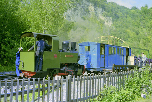
One of the main attractions in Amberley is the Amberley Museum and Heritage Centre, a fascinating open-air museum that showcases the industrial heritage of the area. Visitors can explore a range of exhibits, including vintage steam trains, historic buses, and traditional crafts. The museum is located in the former chalk quarry, which provides a unique backdrop to the displays.
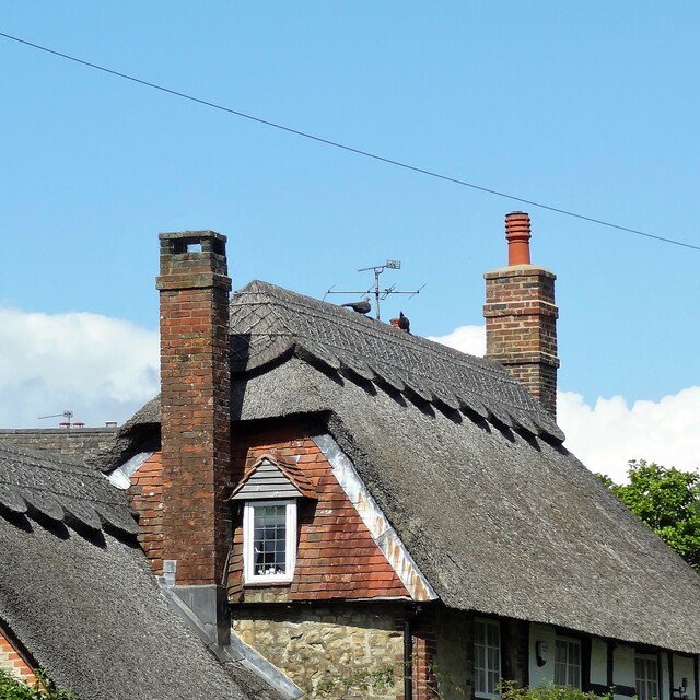
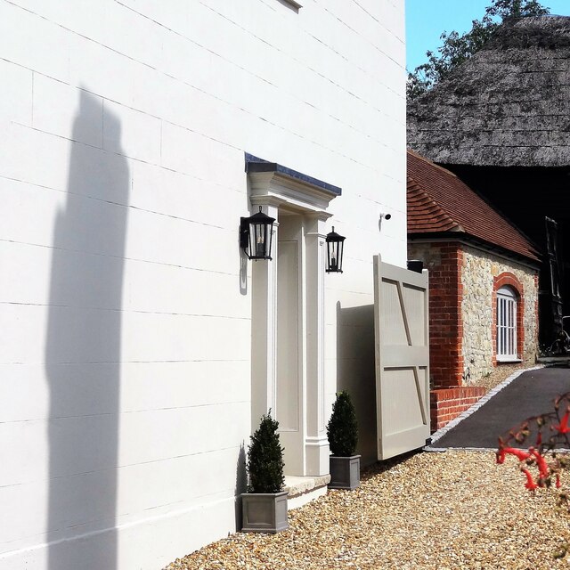
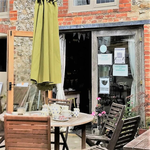
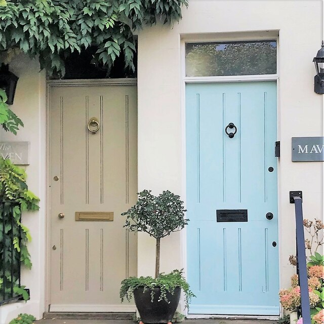
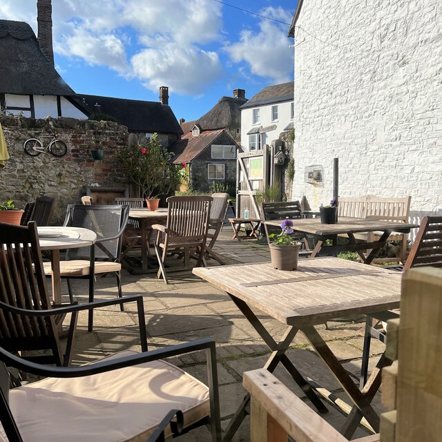
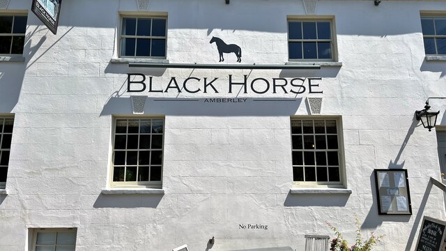
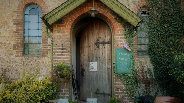
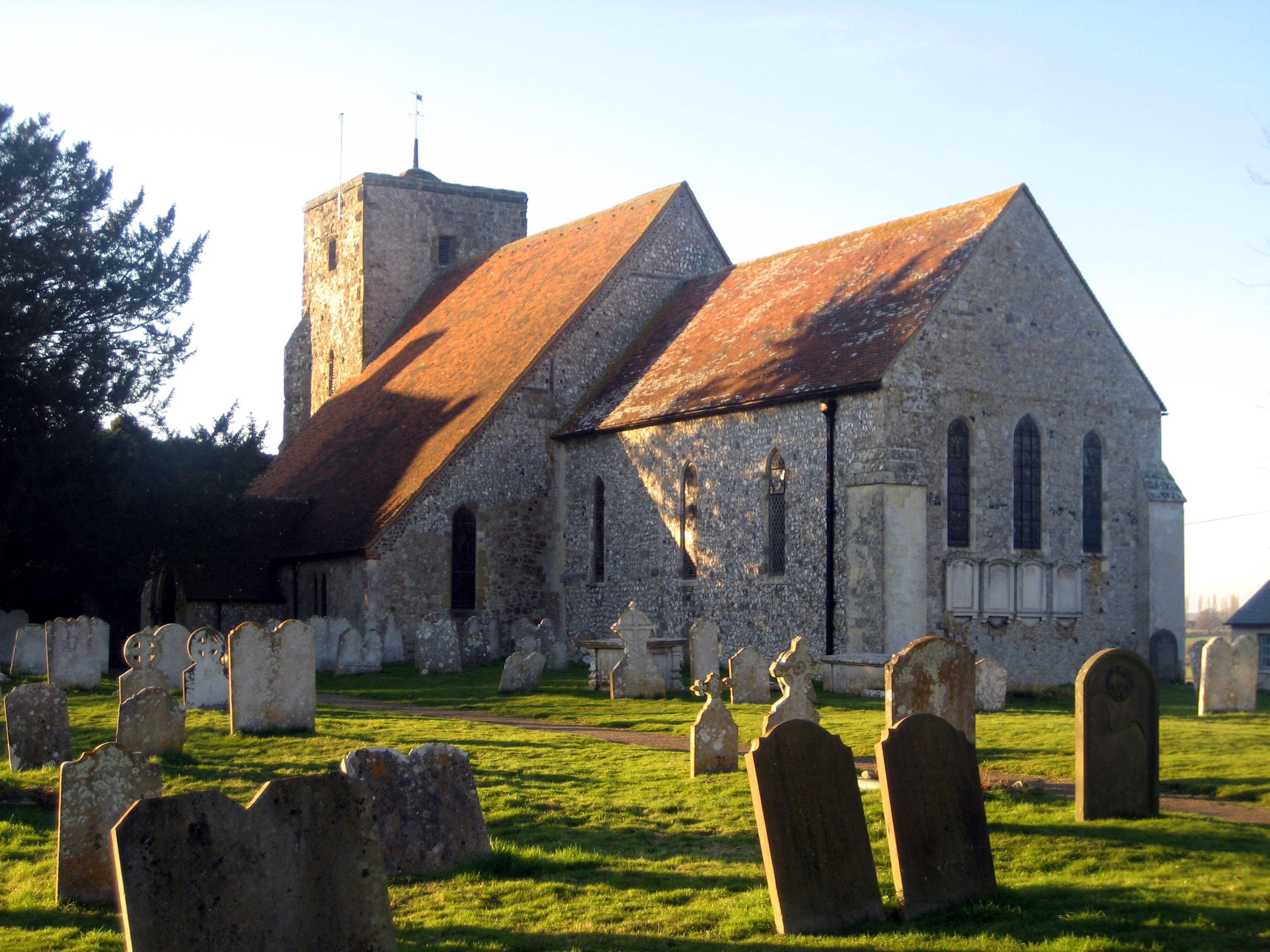
The village itself is characterized by its traditional thatched cottages, many of which date back to the 17th and 18th centuries. The village center features a picturesque pond, surrounded by quaint shops and tea rooms. The local pub, The Black Horse, is a popular spot for visitors and locals alike, offering traditional British cuisine and a cozy atmosphere.
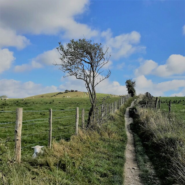
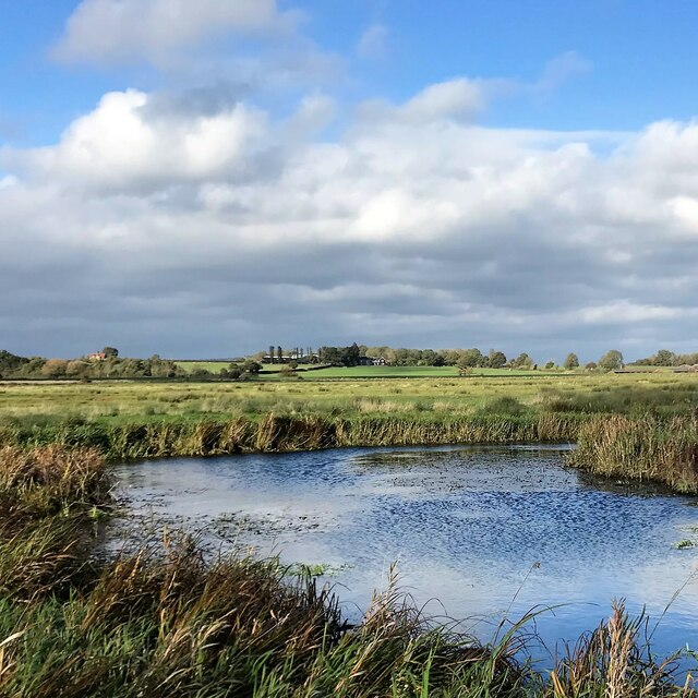
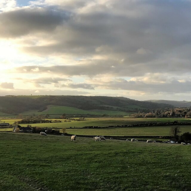
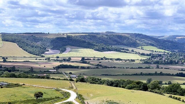
Surrounded by rolling hills and stunning countryside, Amberley is a haven for outdoor enthusiasts. The South Downs Way, a long-distance footpath, runs through the area, offering breathtaking views and opportunities for hiking, cycling, and horseback riding. The nearby River Arun is a popular spot for boating and fishing.
In summary, Amberley is a charming civil parish in West Sussex, renowned for its natural beauty, historic buildings, and cultural heritage. With its idyllic setting and range of attractions, it is a must-visit destination for those seeking a quintessential English countryside experience.
If you have any feedback on the listing, please let us know in the comments section below.
Amberley Images
Images are sourced within 2km of 50.902827/-0.533385 or Grid Reference TQ0312. Thanks to Geograph Open Source API. All images are credited.


Amberley is located at Grid Ref: TQ0312 (Lat: 50.902827, Lng: -0.533385)
Administrative County: West Sussex
District: Horsham
Police Authority: Sussex
What 3 Words
///provoking.purified.hunter. Near Arundel, West Sussex
Nearby Locations
Related Wikis

Amberley Museum Railway
The Amberley Museum Railway is a 2 ft (610 mm) narrow gauge railway based at Amberley Museum, Amberley, West Sussex. It has a varied collection of engines...
Amberley, West Sussex
Amberley is a village and civil parish in the Horsham District of West Sussex, England. It is situated at the foot of the South Downs, 4 miles (6 km) north...

Amberley Museum & Heritage Centre
Amberley Museum is an open-air industrial heritage museum at Amberley, near Arundel in West Sussex, England. The museum is owned and operated by Amberley...
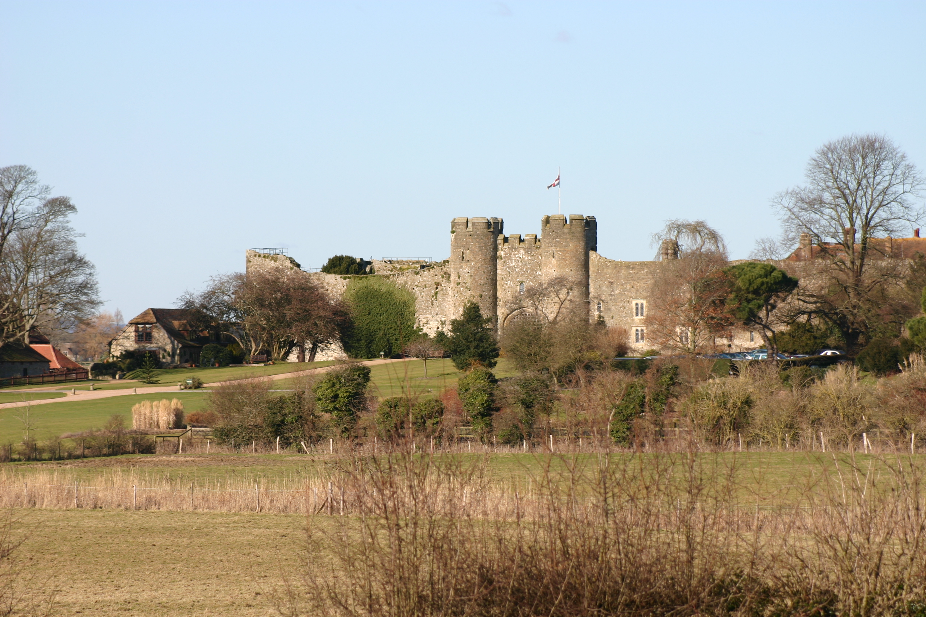
Amberley Castle
Amberley Castle stands in the village of Amberley, West Sussex (grid reference TQ027132). The castle was erected as a 12th-century manor house and fortified...
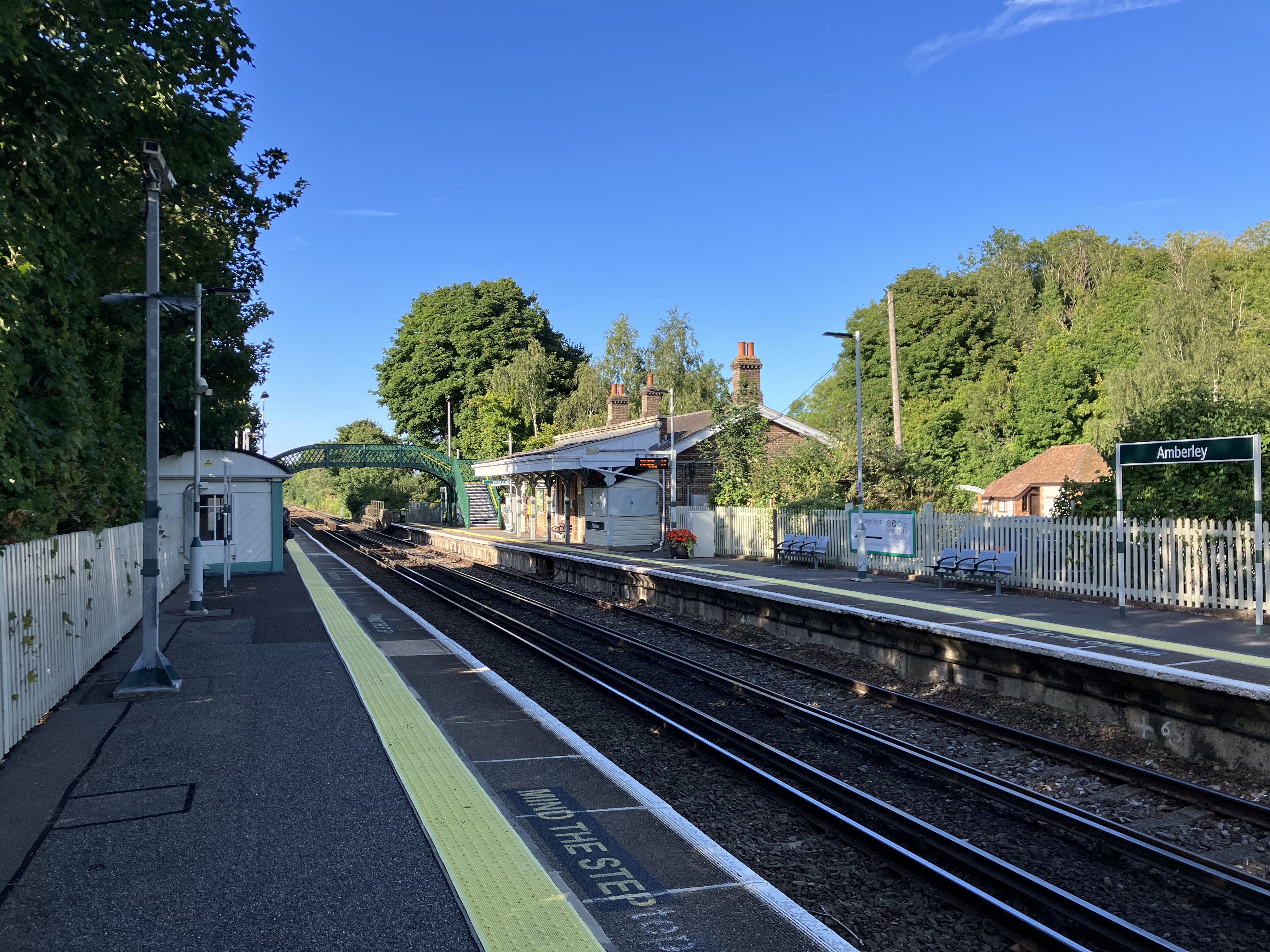
Amberley railway station
Amberley railway station is a railway station in West Sussex, England. It serves the village of Amberley, about half a mile away, and was opened by the...

Dorset House School
Dorset House School is a co-educational preparatory school near Pulborough in West Sussex, England. == History == The school was founded in 1784 as Totteridge...

Houghton, West Sussex
Houghton () is a low-population, linear settlement with a large elevated tract of land which is mostly wooded and two main farms forming its civil parish...

Amberley Wild Brooks
Amberley Wild Brooks or Amberley Wildbrooks is a 327.5-hectare (809-acre) biological Site of Special Scientific Interest west of Storrington in West Sussex...
Nearby Amenities
Located within 500m of 50.902827,-0.533385Have you been to Amberley?
Leave your review of Amberley below (or comments, questions and feedback).