Amble by the Sea

Civil Parish in Northumberland

England

Amble by the Sea

South Jetty, Amble This wooden jetty lies at the mouth of the River Coquet close to where it flows into the North Sea.
South Jetty, Amble Credit: Geoff Holland

Amble by the Sea is a civil parish located in the county of Northumberland, England. Situated on the North Sea coast, it is a picturesque fishing town known for its beautiful beaches and charming harbor. The parish covers an area of approximately 6.7 square kilometers and has a population of around 6,000 residents.

The town of Amble has a rich history dating back to medieval times when it was a thriving port and a center for trade. Today, remnants of its maritime past can still be seen in the historic buildings and landmarks that dot the town. One such landmark is the Amble Harbour, which serves as a base for a small fishing fleet and is a popular spot for leisurely walks and boat trips.

The beaches in Amble are a major draw for tourists and locals alike. The town boasts a long stretch of golden sand known as Amble Beach, which is perfect for sunbathing, picnicking, and taking leisurely strolls. Nearby, Coquet Island can be seen from the shore, home to a nature reserve that is a haven for puffins and other seabirds.

Amble also offers a range of amenities and attractions for visitors. The town has a variety of shops, cafes, and restaurants, allowing visitors to sample local cuisine and purchase unique souvenirs. Additionally, there are several accommodation options available, including hotels, bed and breakfasts, and self-catering cottages.

Overall, Amble by the Sea is a charming and picturesque civil parish in Northumberland, offering a perfect blend of natural beauty, history, and coastal charm.

If you have any feedback on the listing, please let us know in the comments section below.

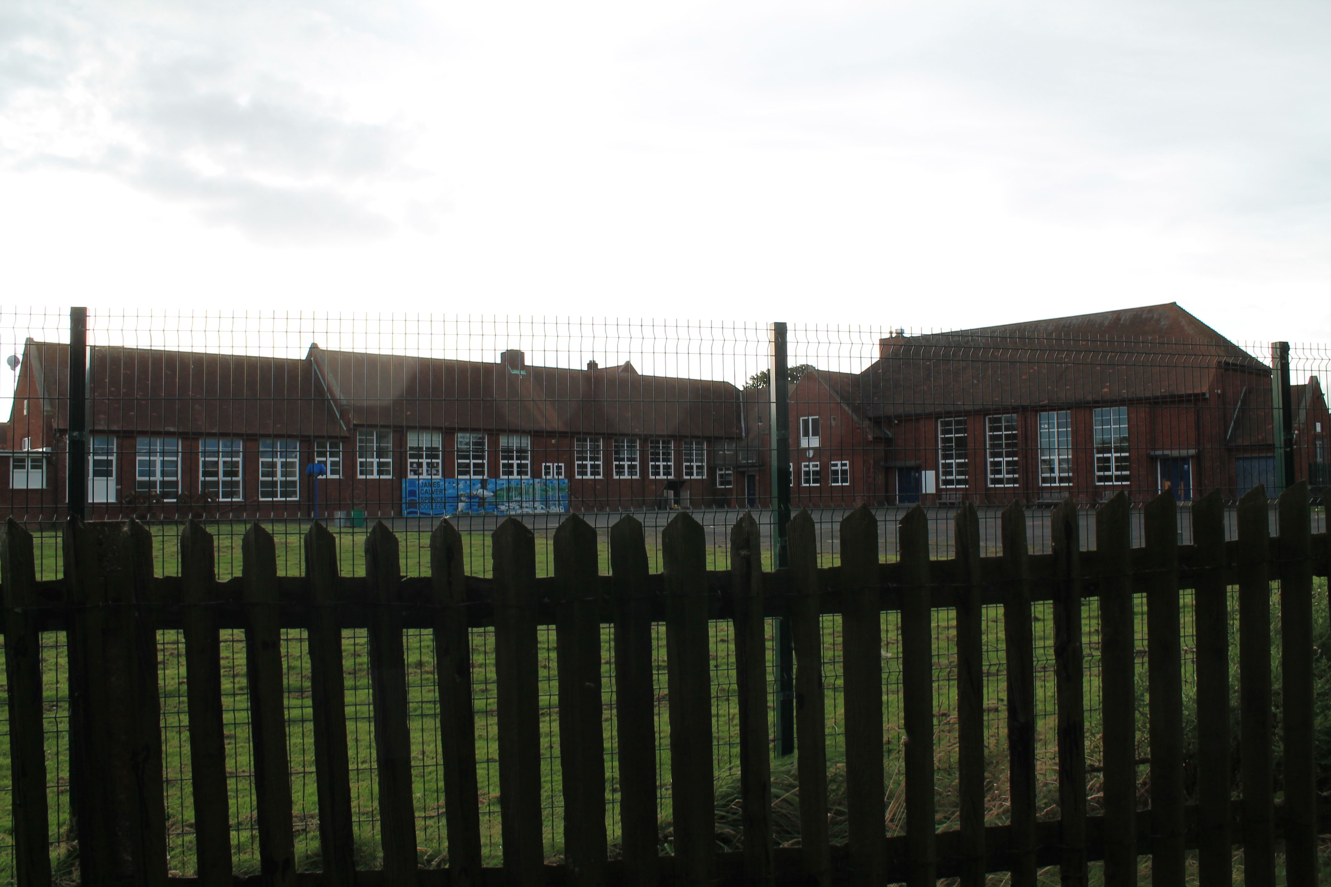
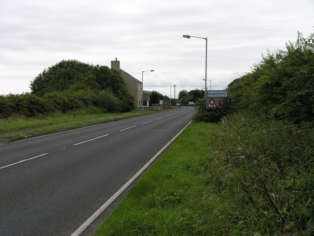
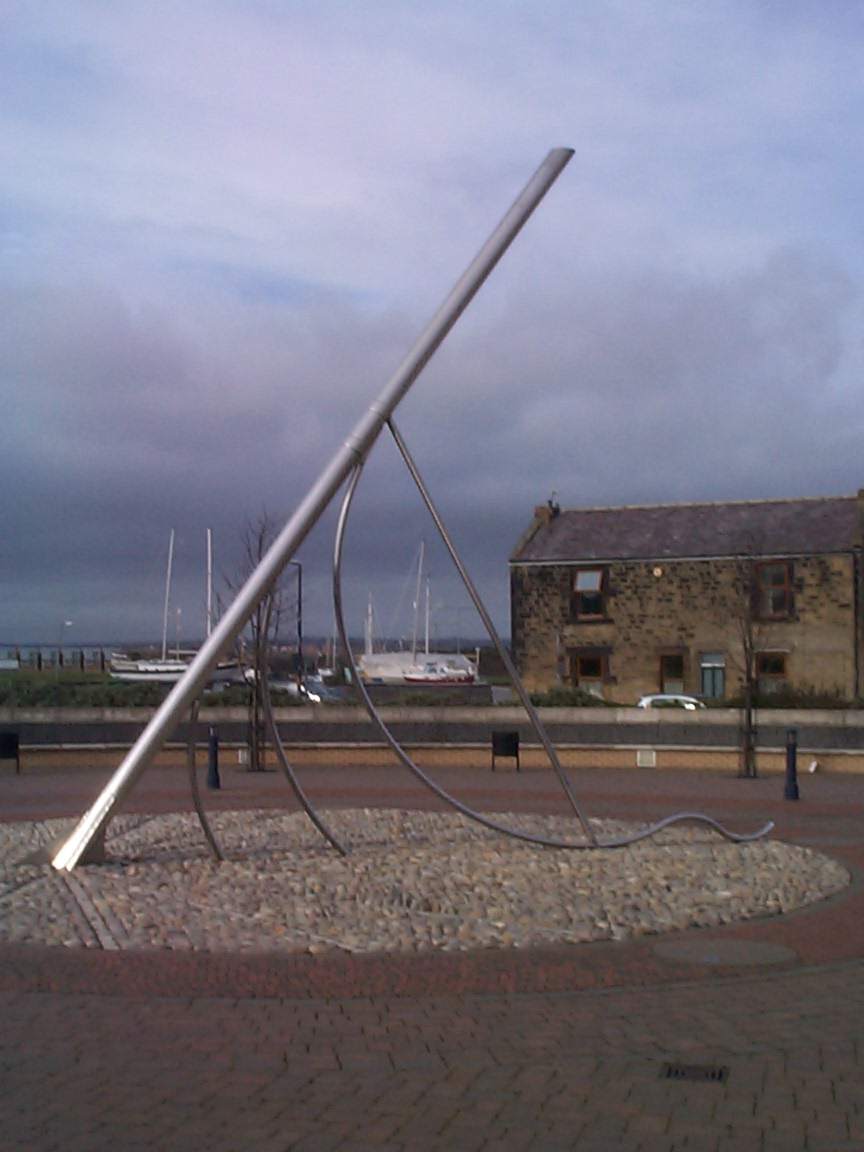
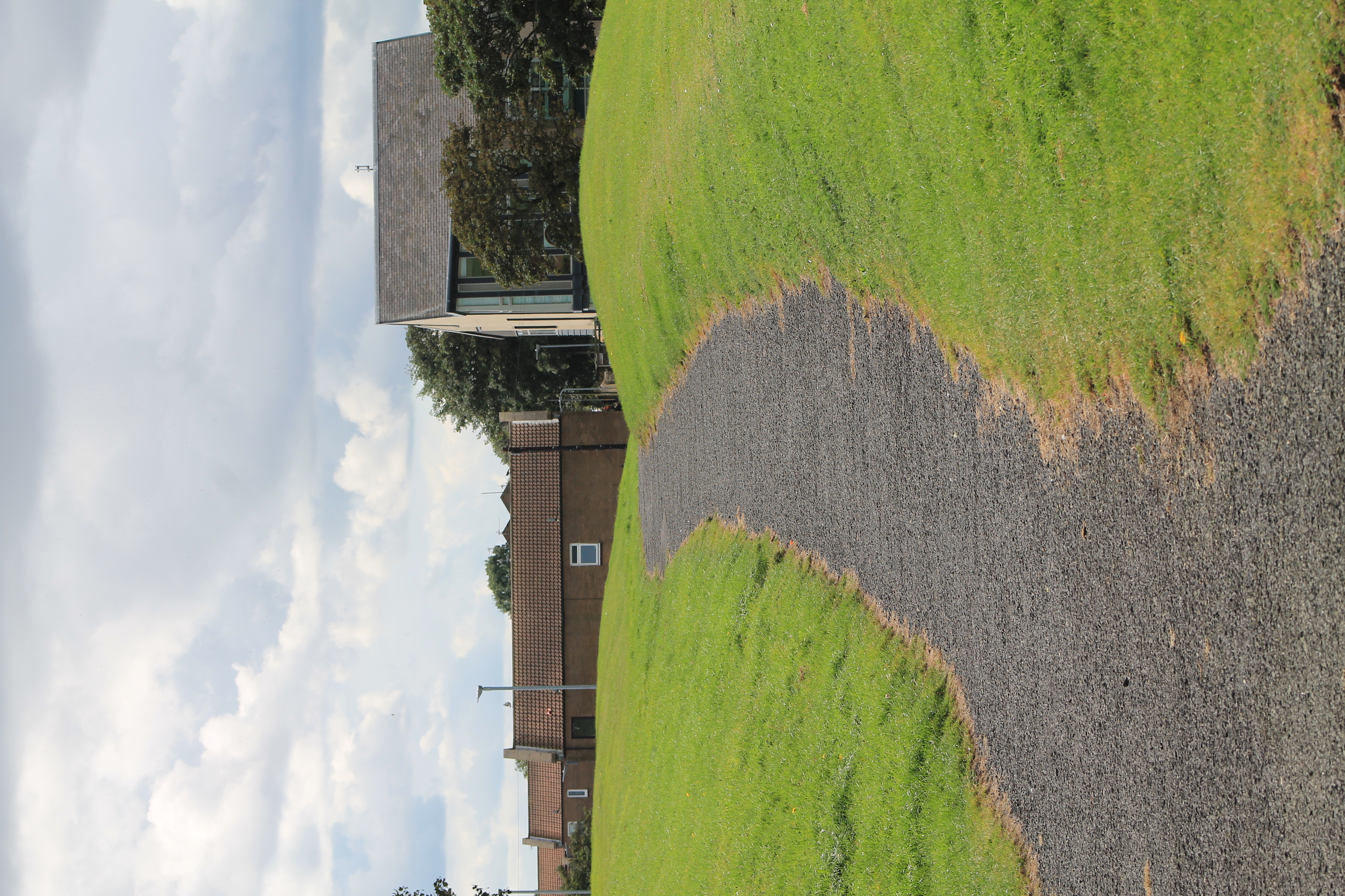
Amble by the Sea Images

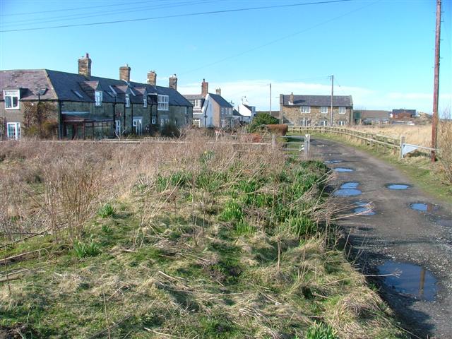
Images are sourced within 2km of 55.32394/-1.588744 or Grid Reference NU2603. Thanks to Geograph Open Source API. All images are credited.

South Jetty, Amble This wooden jetty lies at the mouth of the River Coquet close to where it flows into the North Sea.
South Jetty, Amble
This wooden jetty lies at the mouth of the River Coquet close to where it flows into the North Sea.
Warkworth Harbour, Amble
Warkworth Harbour, Northumberland Fishing boats, lobster pots and new buildings at Warkworth Harbour.
Warkworth Harbour, Northumberland
Fishing boats, lobster pots and new buildings at Warkworth Harbour.
A different way to cross Warkworth Harbour Surfboarding on the River Coquet.
A different way to cross Warkworth Harbour
Surfboarding on the River Coquet.
Pinnace 1386 Memorial In remembrance of those lost when RAF search and rescue craft Pinnace 1386 overturned while approaching Amble harbour in severe weather. One crew member survived after Royal Navy divers managed to create a hole in the upturned hull, from which he managed to escape.
Pinnace 1386 Memorial
In remembrance of those lost when RAF search and rescue craft Pinnace 1386 overturned while approaching Amble harbour in severe weather. One crew member survived after Royal Navy divers managed to create a hole in the upturned hull, from which he managed to escape.
Three Turnstones  On the quay at Warkworth Harbour.
Not afraid of people and happy to scavange on the boats at the quayside.
Three Turnstones
On the quay at Warkworth Harbour. Not afraid of people and happy to scavange on the boats at the quayside.
Trawler restocking at Warkworth Harbour Note the turnstones on the quay edge.
Trawler restocking at Warkworth Harbour
Note the turnstones on the quay edge.
Sign board giving details of coal truck The staithes are visible across the River Coquet from the harbour.
Sign board giving details of coal truck
The staithes are visible across the River Coquet from the harbour.
Coal truck used on the staithes Amble grew in the nineteenth century as collieries were opened; and the newly built railway links to the Northumberland coalfields made the town a centre for the sea transport and export of coal.
The arrival of the railway lead to the construction of coal staithes.
This is an example of the trucks used on the staithes to load coal into ships.
See <a title="https://www.geograph.org.uk/photo/7080285" href="https://www.geograph.org.uk/photo/7080285">Link</a> for details.
Coal truck used on the staithes
Amble grew in the nineteenth century as collieries were opened; and the newly built railway links to the Northumberland coalfields made the town a centre for the sea transport and export of coal. The arrival of the railway lead to the construction of coal staithes. This is an example of the trucks used on the staithes to load coal into ships. See Link for details.
Circa Cafe, Amble Opening out on to a filling station forecourt, the Circa Cafe is a curious combination of café and antiques shop. Inside, the antiques and collectables showroom is surprisingly large with an extensive range of items for sale. To the left of the café is a Londis store.
Circa Cafe, Amble
Opening out on to a filling station forecourt, the Circa Cafe is a curious combination of café and antiques shop. Inside, the antiques and collectables showroom is surprisingly large with an extensive range of items for sale. To the left of the café is a Londis store.
Footpath signpost near New Barns A junction of bridleways in farmland south of Warkworth. St Oswald's Way turns north here to cross the River Coquet and continue up the coast.
Footpath signpost near New Barns
A junction of bridleways in farmland south of Warkworth. St Oswald's Way turns north here to cross the River Coquet and continue up the coast.
St Oswald's Way to Warkworth Easy walking on the surfaced bridleway in contrast to Rake Lane - see <a href="https://www.geograph.org.uk/photo/7122379">NU2202 : Rake Lane blockage</a>.
St Oswald's Way to Warkworth
Easy walking on the surfaced bridleway in contrast to Rake Lane - see NU2202 : Rake Lane blockage.
Bridleway to Warkworth An access road for New Barns, on St Oswald's Way.
Bridleway to Warkworth
An access road for New Barns, on St Oswald's Way.
Low tide at Amble Links
South Pier, Amble
South Pier, Amble
Harbour retail units, Amble
High Hauxley
High Hauxley
Northumberland Coast Path Between Warkworth and Amble - the path leaves the tarmac and cuts across the grass as it heads towards Amble beside the River Coquet
Northumberland Coast Path
Between Warkworth and Amble - the path leaves the tarmac and cuts across the grass as it heads towards Amble beside the River Coquet
Show me another place!

Amble by the Sea is located at Grid Ref: NU2603 (Lat: 55.32394, Lng: -1.588744)

Unitary Authority: Northumberland

Police Authority: Northumbria

What 3 Words

///copycat.office.stag. Near Amble, Northumberland

Nearby Locations

Amble by the Sea

Related Wikis

Nearby Amenities

Located within 500m of 55.32394,-1.588744
Mini Roundabout
Lat/Long: 55.3267948/-1.5827923
Noexit: yes
Lat/Long: 55.3271318/-1.5858561
Noexit: yes
Lat/Long: 55.3272341/-1.5860065
Noexit: yes
Lat/Long: 55.3264306/-1.5843189
Noexit: yes
Lat/Long: 55.3264824/-1.584433
Bus Stop
Bus: yes
Covered: yes
Public Transport: platform
Shelter: yes
Lat/Long: 55.3264613/-1.5827313
Post Box
Operator: Royal Mail
Operator Wikidata: Q638098
Ref: NE65 234
Lat/Long: 55.3265162/-1.582793
Noexit: yes
Lat/Long: 55.3268804/-1.5876676
Noexit: yes
Lat/Long: 55.3263578/-1.5879639
Noexit: yes
Lat/Long: 55.3265243/-1.5877773
Noexit: yes
Lat/Long: 55.3267214/-1.5869375
Noexit: yes
Lat/Long: 55.3274686/-1.5870507
Noexit: yes
Lat/Long: 55.3257913/-1.5824037
Noexit: yes
Lat/Long: 55.3257335/-1.5864595
Addr City: Amble
Addr Country: GB
Addr Housenumber: 10
Addr Place: Coquet Grange
Addr Street: Chillingham Court
Lat/Long: 55.3257792/-1.5822973
Addr City: Amble
Addr Country: GB
Addr Housenumber: 18
Addr Place: Coquet Grange
Addr Street: Bamburgh Close
Lat/Long: 55.3272428/-1.5871097
Addr City: Amble
Addr Country: GB
Addr Housenumber: 16
Addr Street: Etal Drive
Addr Suburb: Coquet Grange
Lat/Long: 55.326563/-1.5879965
Addr City: Amble
Addr Country: GB
Addr Housenumber: 43
Addr Place: Coquet Grange
Addr Street: Norham Drive
Lat/Long: 55.3257348/-1.5863726
Bus Stop
Bench: no
Bin: no
Bus: yes
Lit: no
Name Signed: no
Public Transport: platform
Shelter: no
Tactile Paving: yes
Lat/Long: 55.3260805/-1.5821305
Bus Stop
Bus: yes
Naptan AtcoCode: 3100U264680
Naptan NaptanCode: nldmwapm
Public Transport: platform
Lat/Long: 55.3268549/-1.5843219
Noexit: yes
Lat/Long: 55.3252061/-1.5829834
Noexit: yes
Lat/Long: 55.3245934/-1.5834943
Noexit: yes
Lat/Long: 55.324199/-1.5818475
Noexit: yes
Lat/Long: 55.3261514/-1.5832101
Noexit: yes
Lat/Long: 55.3257432/-1.5829673
Crossing
Crossing: uncontrolled
Crossing Ref: zebra
Lat/Long: 55.3275765/-1.5844502
Give Way
Direction: forward
Lat/Long: 55.3275036/-1.5845363
Generator Method: photovoltaic
Generator Output Electricity: yes
Generator Source: solar
Generator Type: solar_photovoltaic_panel
Location: roof
Power: generator
Lat/Long: 55.3263246/-1.58446
Give Way
Direction: forward
Lat/Long: 55.3250232/-1.5837644
Give Way
Direction: forward
Lat/Long: 55.3252716/-1.5845488
Give Way
Direction: forward
Lat/Long: 55.3263476/-1.5856375
The data included in this document is from www.openstreetmap.org. The data is made available under ODbL.

Have you been to Amble by the Sea?

Leave your review of Amble by the Sea below (or comments, questions and feedback).