Ambrosden

Civil Parish in Oxfordshire Cherwell

England

Ambrosden

Flats on London Road, Bicester
Flats on London Road, Bicester Credit: David Howard

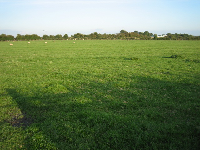
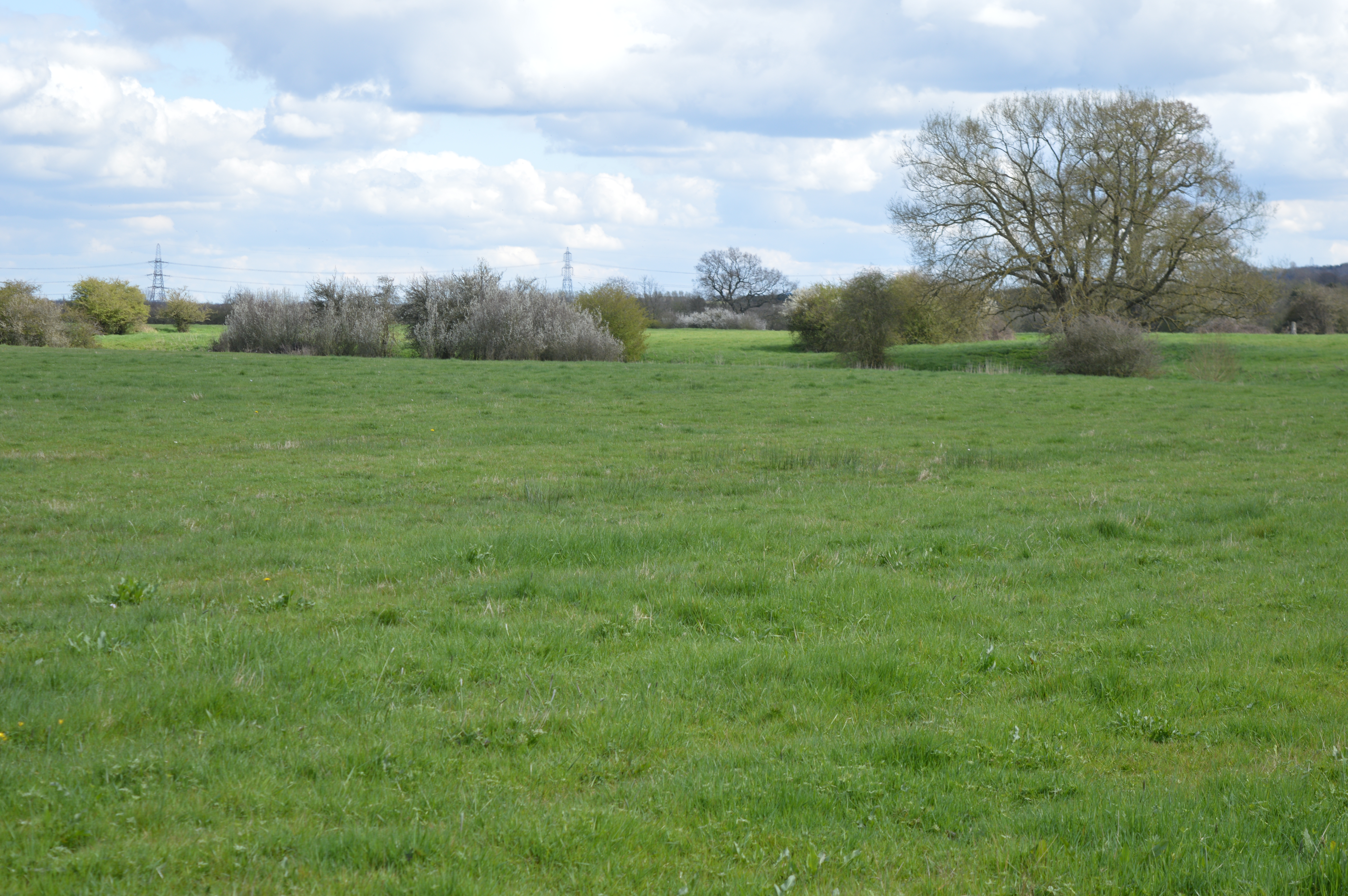
Ambrosden is a civil parish located in the county of Oxfordshire, England. Situated about 4 miles northeast of Bicester, it covers an area of approximately 2.7 square miles. The parish is part of the Cherwell district and is surrounded by the countryside, offering a picturesque and serene environment.

The village of Ambrosden itself is home to a population of around 2,000 residents. It has a rich history dating back to the Domesday Book, where it was recorded as "Edburgestone." The name Ambrosden is believed to have originated from the Old English words "ambra" meaning amber, and "dun" meaning hill, referring to its location on a slight elevation.

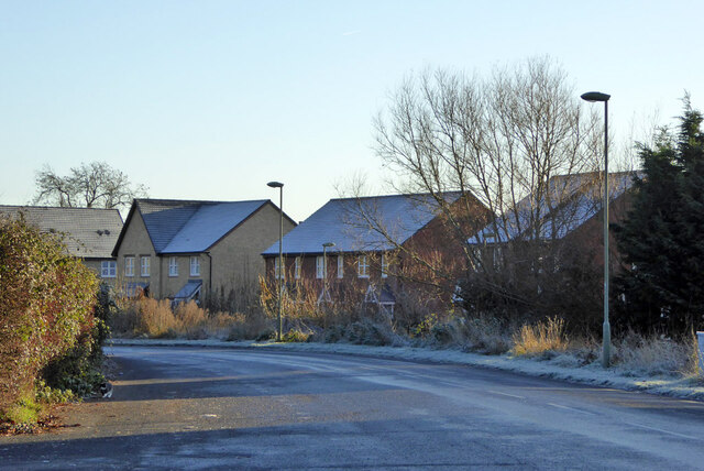
The architecture of Ambrosden is a mix of old and new, with traditional cottages and houses blending seamlessly with modern developments. The parish church, St. Mary the Virgin, is a notable landmark, dating back to the 12th century. It boasts a stunning Norman doorway and beautiful stained glass windows.

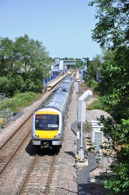
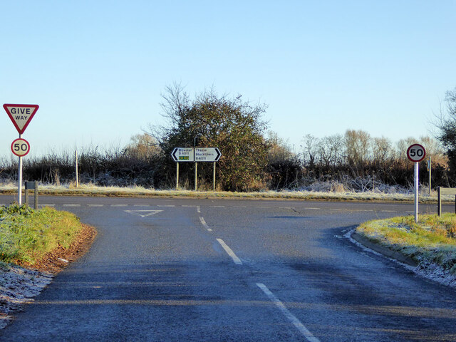
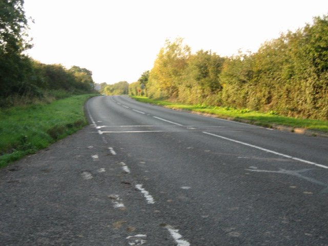
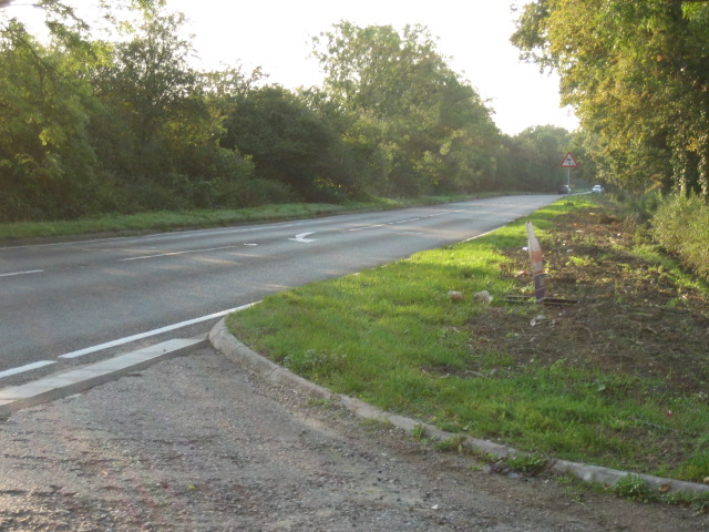
The community in Ambrosden is vibrant and close-knit, with various amenities catering to the needs of its residents. These include a primary school, a village hall, a community center, and a local pub. The village also benefits from excellent transport links, with easy access to the A41 road and nearby train stations.

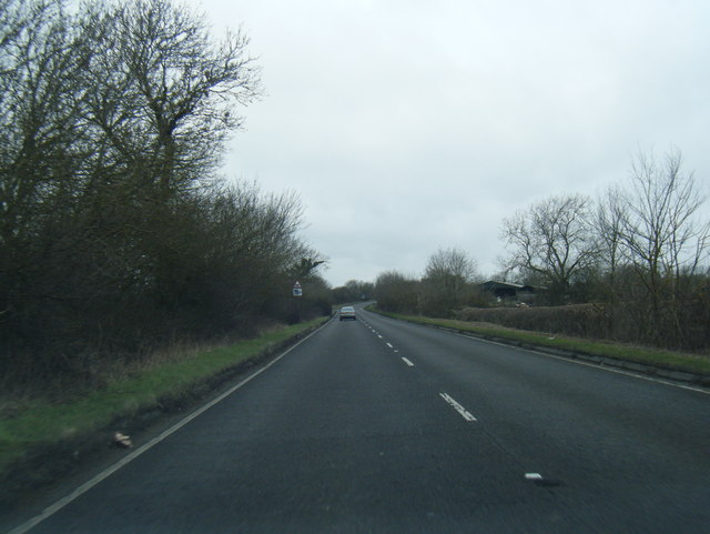
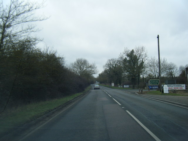
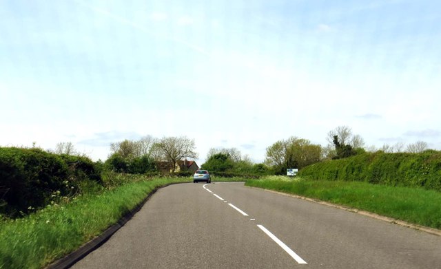
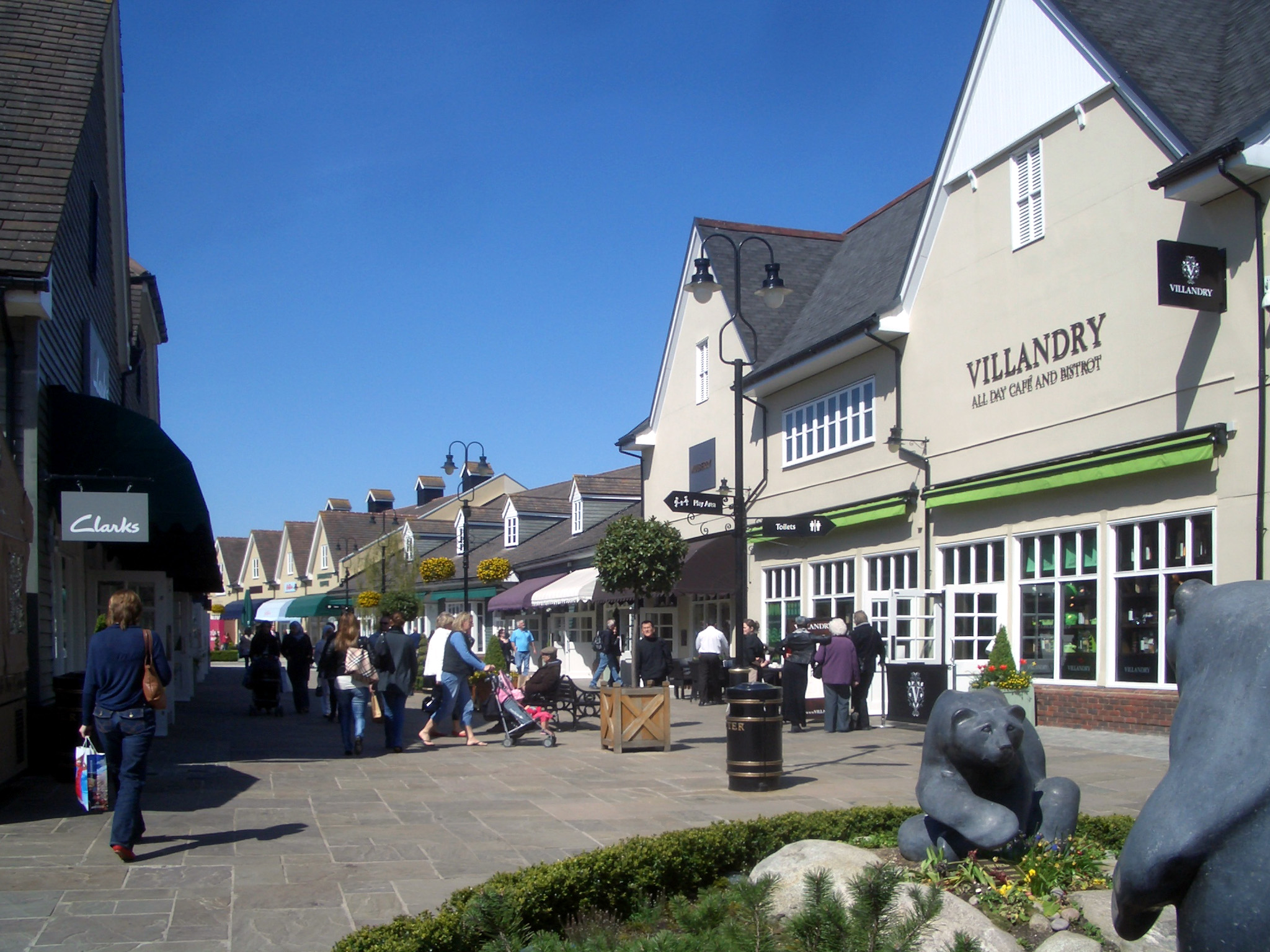
Surrounded by rolling countryside, Ambrosden offers ample opportunities for outdoor activities such as walking, cycling, and exploring the nearby nature reserves. The village is also conveniently located near Bicester Village, a renowned designer outlet shopping center, attracting visitors from far and wide.

Overall, Ambrosden is a charming and historic parish that combines rural tranquility with modern amenities, making it an attractive place to live and visit.

If you have any feedback on the listing, please let us know in the comments section below.
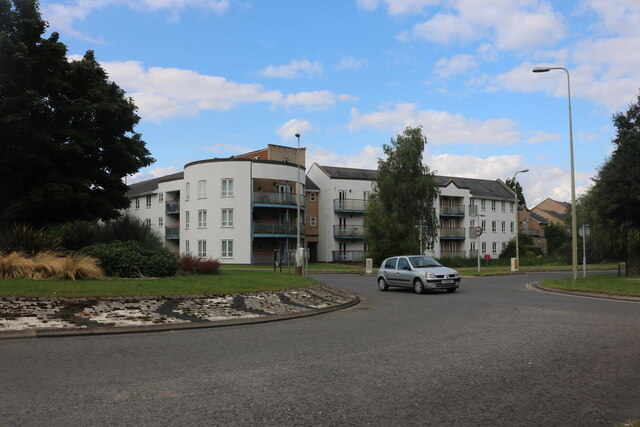
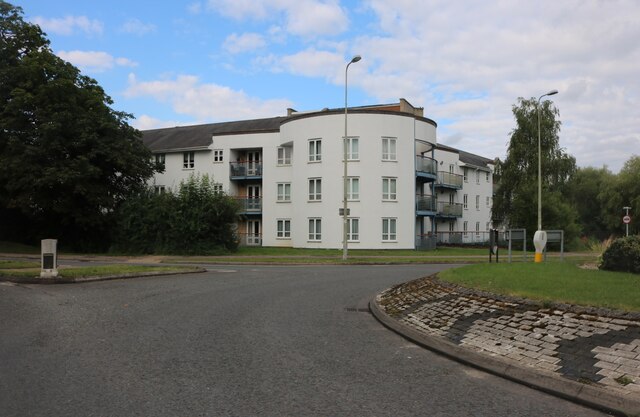
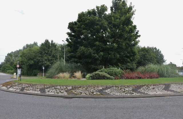
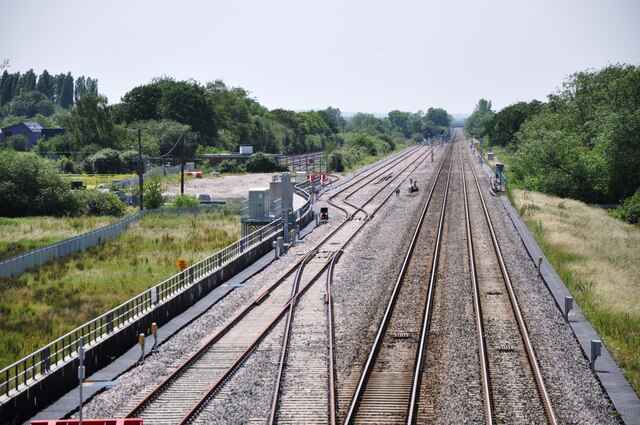
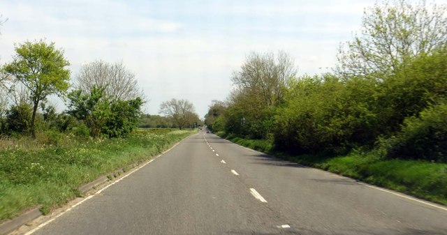
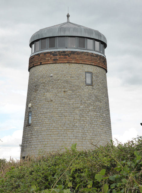
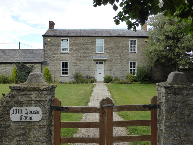
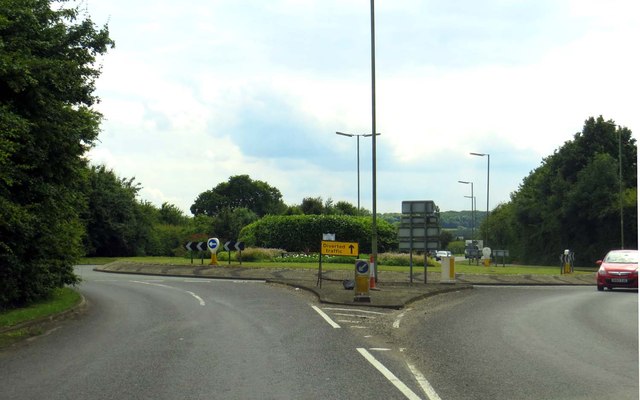
Ambrosden Images

Images are sourced within 2km of 51.876285/-1.134434 or Grid Reference SP5920. Thanks to Geograph Open Source API. All images are credited.

Flats on London Road, Bicester
Landscaped roundabout on London Road, Bicester
View south west from the A41 bridge A view of the Bicester to Oxford railway line on the right and the loops and sidings on the left giving access to the Bicester Military Railway in the middle distance.  The MOD depot although these days reduced in size still retains rail access, with regular freight trains arriving and departing.
View south west from the A41 bridge
A view of the Bicester to Oxford railway line on the right and the loops and sidings on the left giving access to the Bicester Military Railway in the middle distance. The MOD depot although these days reduced in size still retains rail access, with regular freight trains arriving and departing.
View north east from A41 bridge Chiltern railways DMU No. 168322 has just departed from Bicester Village Station heading for Oxford.  The station was named Bicester Town until the line was rebuilt for Chiltern services to Oxford, and now serves the nearby Bicester Village retail outlet shopping centre.
View north east from A41 bridge
Chiltern railways DMU No. 168322 has just departed from Bicester Village Station heading for Oxford. The station was named Bicester Town until the line was rebuilt for Chiltern services to Oxford, and now serves the nearby Bicester Village retail outlet shopping centre.
A41 near Stone Pits Farm
A41 looking west
A41 looking west
The B4011 to Bicester The B4011 runs from Thame to Bicester.
The B4011 to Bicester
The B4011 runs from Thame to Bicester.
The A41 near Stone Pits Farm The A41 follows the former Roman road, Akeman Street.
The A41 near Stone Pits Farm
The A41 follows the former Roman road, Akeman Street.
Blackthorn East Mill Tower windmill converted to a house.
The west mill is shown on the map but is truncated and not visible from a public location.
Blackthorn East Mill
Tower windmill converted to a house. The west mill is shown on the map but is truncated and not visible from a public location.
Mill House Farm Next to Blackthorn East Mill
Mill House Farm
Next to Blackthorn East Mill
Roundabout on Gavray Drive
Houses on Springfields, Ambrosden Looking from Blackthorn Road.
Houses on Springfields, Ambrosden
Looking from Blackthorn Road.
Blackthorn Road meets B4011
Merton Road level crossing The level crossing on Merton Road in Ambrosden on the Bicester Military Railway.  This crossing retains the old swinging gates which were originally produced by the GWR Signal Depot in Reading in the 1940's.  The crossing is now seldom used as most military rail traffic is confined to the Graven Hill section of the railway.
Merton Road level crossing
The level crossing on Merton Road in Ambrosden on the Bicester Military Railway. This crossing retains the old swinging gates which were originally produced by the GWR Signal Depot in Reading in the 1940's. The crossing is now seldom used as most military rail traffic is confined to the Graven Hill section of the railway.
Field
Field
A41 looking west
A41 looking west
A41 looking west
A41 looking west
Show me another place!

Ambrosden is located at Grid Ref: SP5920 (Lat: 51.876285, Lng: -1.134434)

Administrative County: Oxfordshire

District: Cherwell

Police Authority: Thames Valley

What 3 Words

///shall.minus.they. Near Ambrosden, Oxfordshire

Nearby Locations

Ambrosden

Related Wikis

Nearby Amenities

Located within 500m of 51.876285,-1.134434
Railway: level_crossing
Source: Bing
Lat/Long: 51.8748801/-1.1384627
Railway: switch
Lat/Long: 51.8746532/-1.139286
Railway: switch
Lat/Long: 51.8744441/-1.1400519
Railway: switch
Lat/Long: 51.8761083/-1.1358335
Railway: level_crossing
Source: Bing
Lat/Long: 51.8741397/-1.140059
Railway: switch
Lat/Long: 51.8731939/-1.1390004
Railway: switch
Lat/Long: 51.8741647/-1.1370985
Railway: switch
Lat/Long: 51.8746231/-1.1367923
Railway: switch
Lat/Long: 51.873393/-1.1375796
Railway: level_crossing
Source: Bing
Lat/Long: 51.8731838/-1.1395864
Railway: level_crossing
Source: Bing
Lat/Long: 51.8744873/-1.1386478
Railway: level_crossing
Source: Bing
Lat/Long: 51.8737042/-1.1380477
The data included in this document is from www.openstreetmap.org. The data is made available under ODbL.

Have you been to Ambrosden?

Leave your review of Ambrosden below (or comments, questions and feedback).