Amcotts
Civil Parish in Lincolnshire
England
Amcotts

Amcotts is a civil parish located in the North Lincolnshire district of Lincolnshire, England. It is situated approximately 7 miles northeast of Scunthorpe and covers an area of about 1,400 acres. The parish is bordered by the parishes of Althorpe and Keadby to the north, Crowle to the east, and Belton to the south.
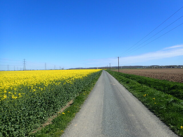
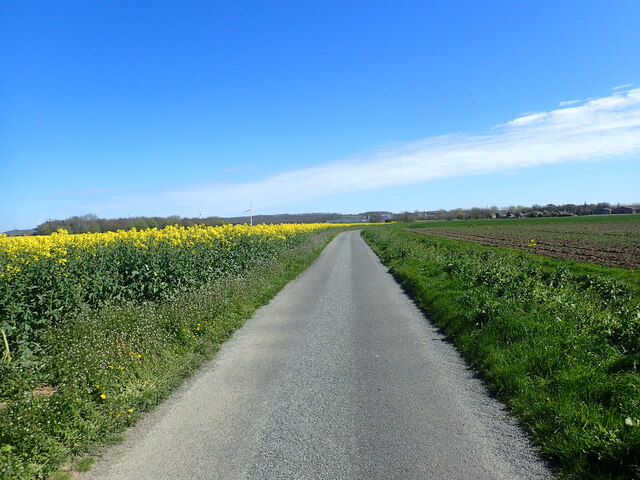
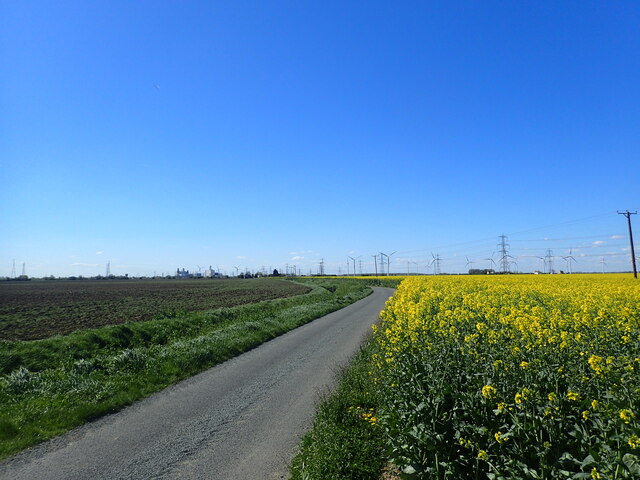
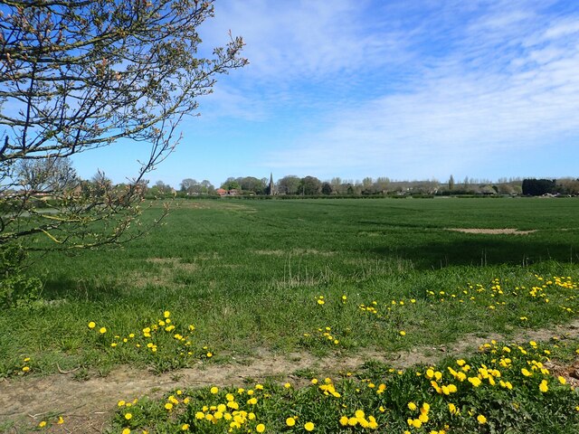
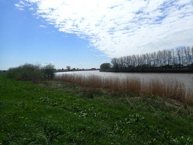
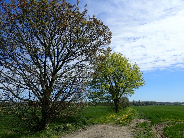
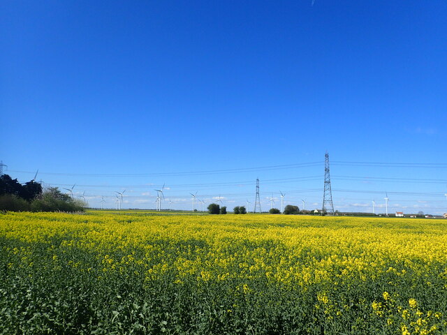
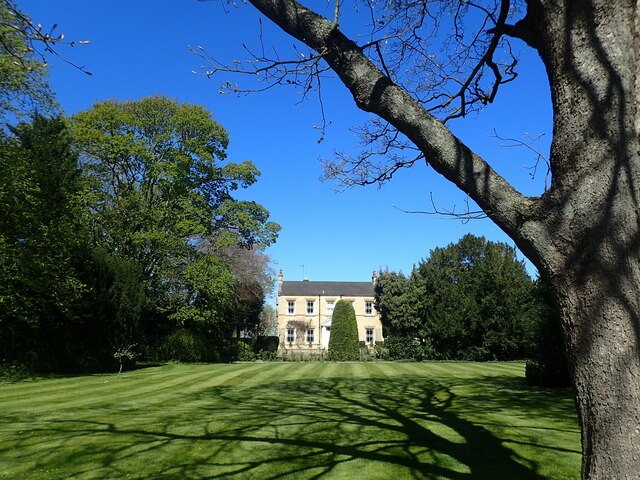
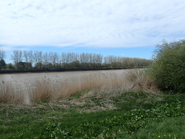
The village of Amcotts itself is a small and tranquil settlement, with a population of around 300 residents. It is characterized by its charming rural landscape, featuring open fields, meadows, and picturesque views. The River Trent flows along the western boundary of the parish, offering opportunities for recreational activities such as fishing and boating.
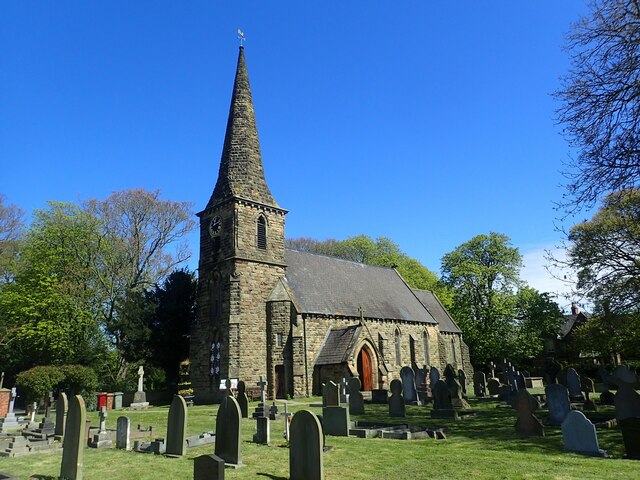
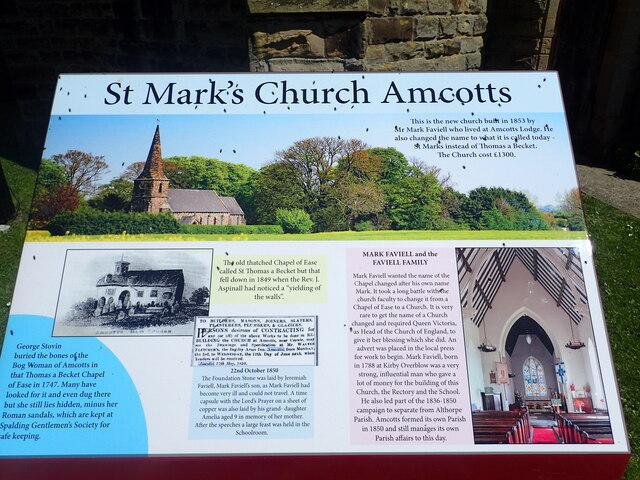
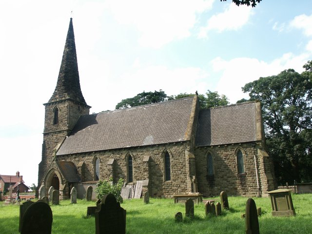
Amcotts has a rich history, dating back to the Roman period. Archaeological evidence suggests that the area was settled by the Romans, and remnants of Roman pottery have been discovered in the vicinity. The village also has a Grade II listed church, St. Mark's, which was built in the 19th century and stands as a testament to the area's religious heritage.
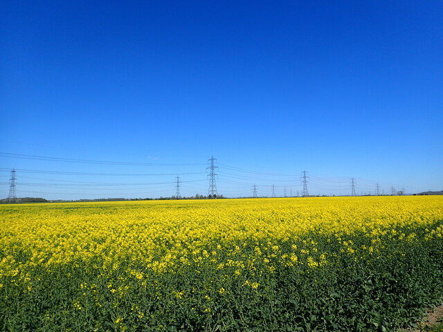
Today, Amcotts is primarily an agricultural community, with farming being the main occupation of its residents. The village is sparsely populated, with a few scattered houses and a village hall serving as a community hub. There are limited amenities within the village, with the nearest shops and services located in nearby towns and villages.
Overall, Amcotts offers a tranquil and rural lifestyle, making it an attractive location for those seeking a peaceful retreat in the heart of Lincolnshire.
If you have any feedback on the listing, please let us know in the comments section below.
Amcotts Images
Images are sourced within 2km of 53.619059/-0.729314 or Grid Reference SE8414. Thanks to Geograph Open Source API. All images are credited.


Amcotts is located at Grid Ref: SE8414 (Lat: 53.619059, Lng: -0.729314)
Unitary Authority: North Lincolnshire
Police Authority: Humberside
What 3 Words
///gasp.blitz.gossiped. Near Keadby, Lincolnshire
Nearby Locations
Related Wikis

Pauper's Drain
Pauper’s Drain is a small tributary of the River Trent in North Lincolnshire, England, and is 9 km (6 miles) long.It has a catchment area of 42 square...
Amcotts
Amcotts is a village and civil parish in the North Lincolnshire district of Lincolnshire, England, and on the Isle of Axholme. The village is situated...
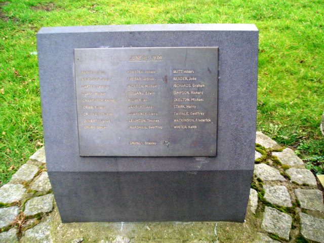
Flixborough disaster
The Flixborough disaster was an explosion at a chemical plant close to the village of Flixborough, North Lincolnshire, England, on 1 June 1974. It killed...
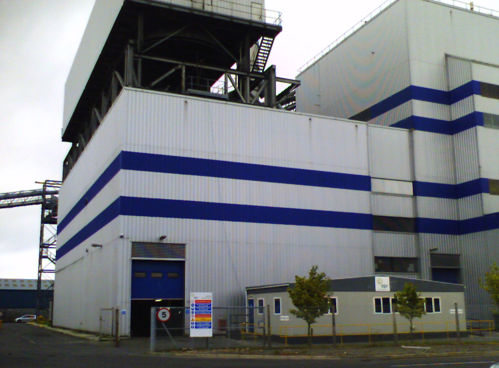
Glanford Power Station
Glanford Power Station is an electricity generating plant located on the Flixborough industrial estate near Scunthorpe in North Lincolnshire. It generates...
Nearby Amenities
Located within 500m of 53.619059,-0.729314Have you been to Amcotts?
Leave your review of Amcotts below (or comments, questions and feedback).