Alwington
Civil Parish in Devon Torridge
England
Alwington

Alwington is a civil parish located in the county of Devon, England. It is situated in the Torridge district, approximately 4 miles southeast of the town of Bideford. The parish covers an area of around 7 square miles and is home to a population of approximately 400 residents.
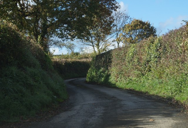
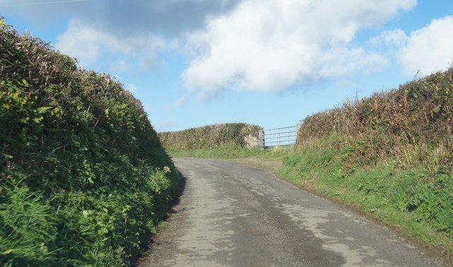
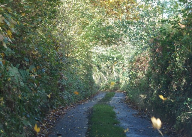
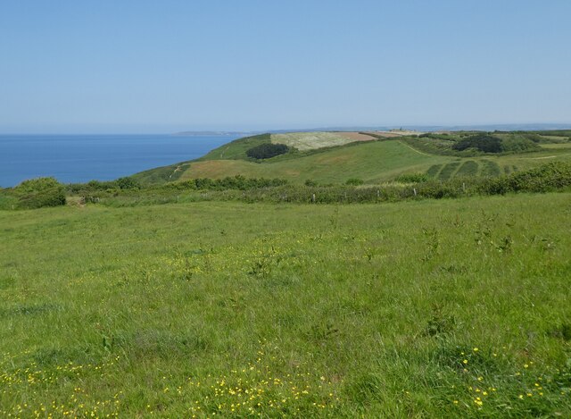
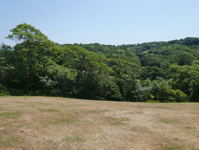
The landscape of Alwington is characterized by rolling hills, lush green fields, and picturesque countryside. The parish is surrounded by several other rural communities, including Monkleigh to the north, Littleham to the east, and Parkham to the south.
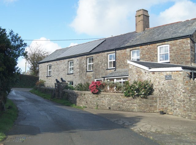
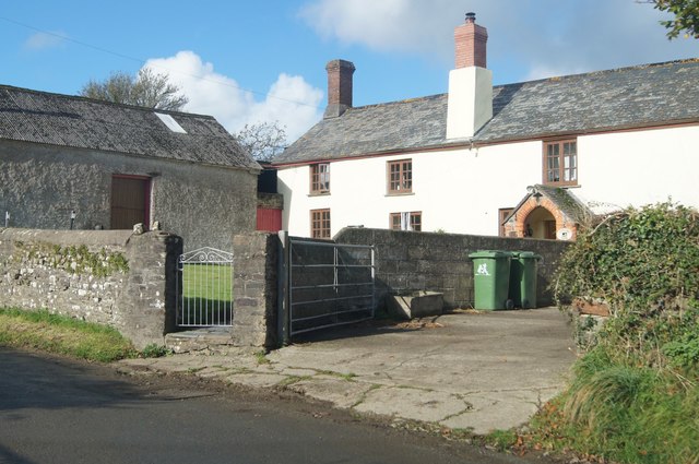
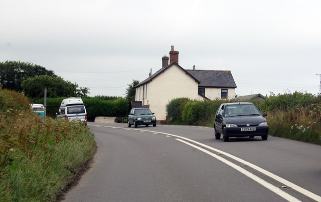
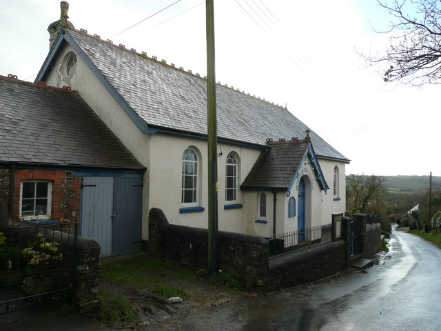
The main settlement within Alwington is the village of Alwington itself. The village features a charming mix of traditional stone cottages and modern houses. It has a small but vibrant community, with a village hall and a church as its focal points. The church, dedicated to St. Andrew, dates back to the 13th century and is a notable historical landmark in the area.
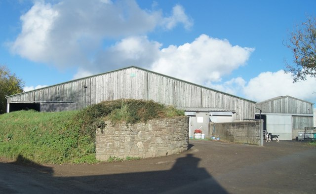
Agriculture plays a significant role in the economy of Alwington, with many residents involved in farming and livestock rearing. The fertile soil and favorable climate make it an ideal location for agricultural activities. The parish also benefits from its proximity to the coast, with fishing and tourism providing additional sources of income for the local community.
Alwington offers a tranquil and idyllic lifestyle, with its scenic countryside, close-knit community, and easy access to both rural and coastal amenities. It attracts those seeking a peaceful retreat away from the hustle and bustle of urban life, while still enjoying the convenience of nearby towns and cities.
If you have any feedback on the listing, please let us know in the comments section below.
Alwington Images
Images are sourced within 2km of 50.997298/-4.277038 or Grid Reference SS4024. Thanks to Geograph Open Source API. All images are credited.


Alwington is located at Grid Ref: SS4024 (Lat: 50.997298, Lng: -4.277038)
Administrative County: Devon
District: Torridge
Police Authority: Devon & Cornwall
What 3 Words
///dorms.functions.promoted. Near Bideford, Devon
Nearby Locations
Related Wikis

Alwington
Alwington is a village and civil parish in the Torridge district of Devon, England. The parish is on the coast and includes the hamlets of Alwington, Fairy...
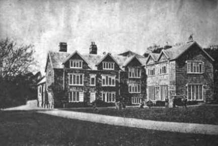
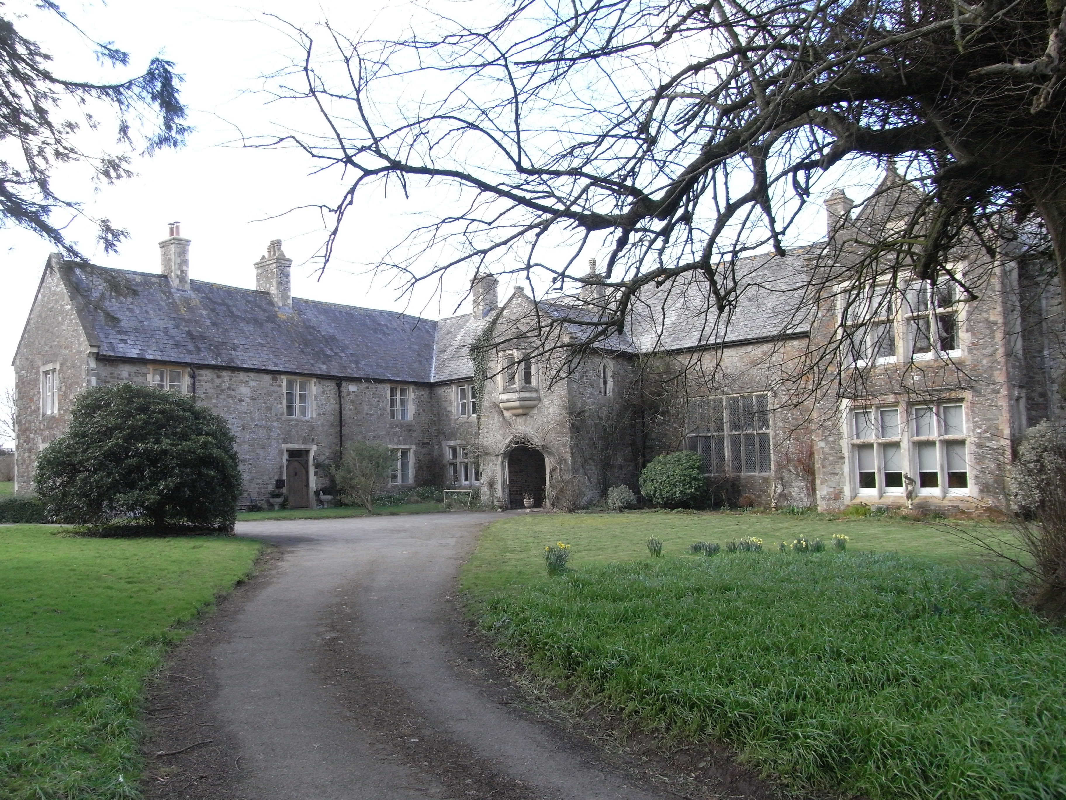
Portledge Manor
Portledge Manor is an English manor house in the parish of Alwington, southwest of Bideford, Devon. It and the land surrounding it belonged to the Coffin...

Peppercombe
Peppercombe is a small valley (combe) on the north-western coast of Devon, England. It is situated on the South West Coast Path between Westward Ho! to...

The Big Sheep
The Big Sheep is an amusement farm park located in Abbotsham, Devon, England. The site was originally Barton Farm, a busy sheep farm owned by six generations...
Orleigh Court
Orleigh Court is a late medieval manor house in the parish of Buckland Brewer about 4 miles (6.4 km) south-west of Bideford, North Devon, England. It is...
Manor of Orleigh
Orleigh is a historic manor in the parish of Buckland Brewer, situated 4 miles to the south west of Bideford, North Devon, England. The manor house is...
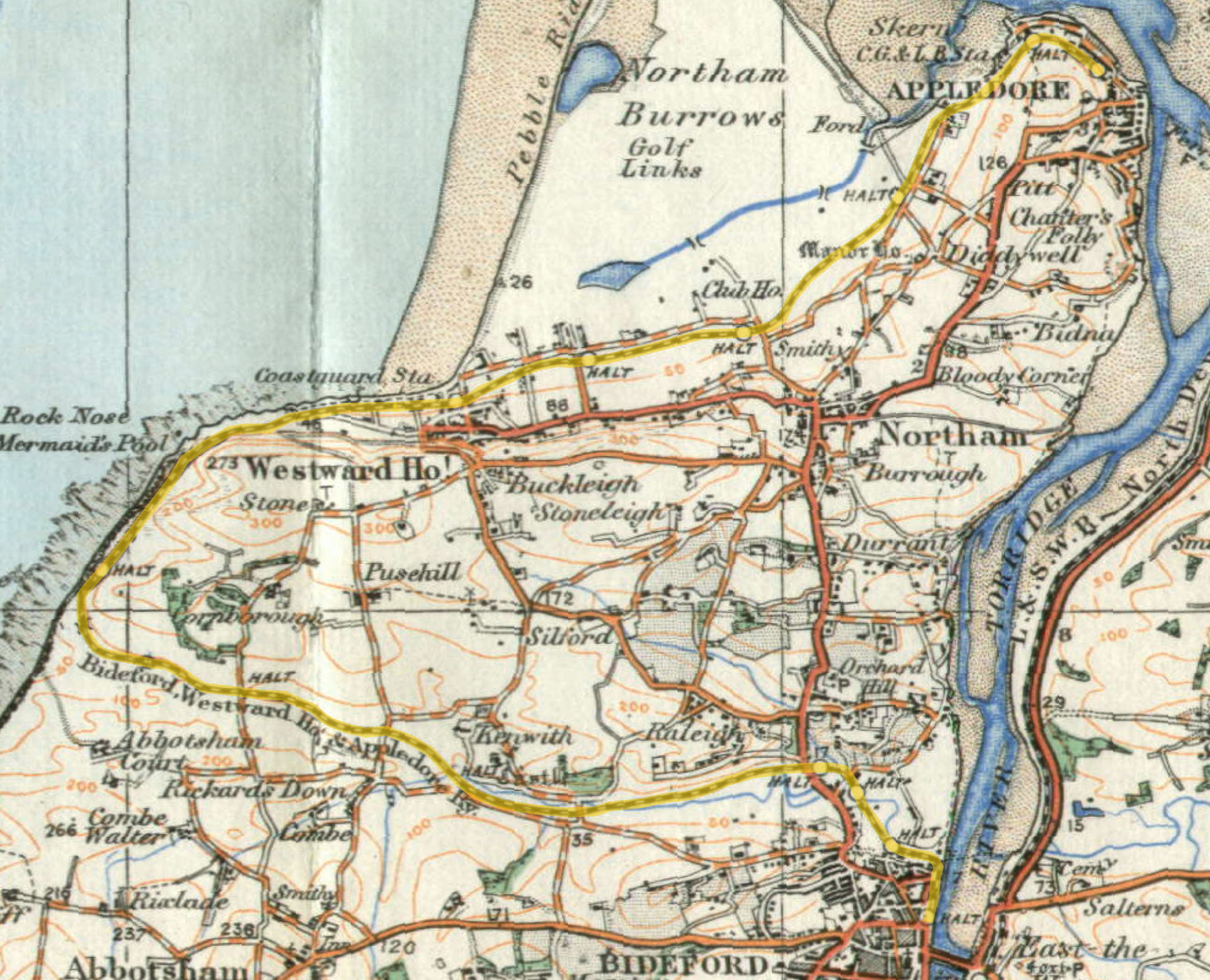
Abbotsham Road railway station
Abbotsham Road railway station was a small railway station on the independent Bideford, Westward Ho! and Appledore Railway in the English county of Devon...
Littleham
Littleham is a village and civil parish in the Torridge district of north Devon in south west England, about 3 miles (4.8 km) south of Bideford. The parish...
Nearby Amenities
Located within 500m of 50.997298,-4.277038Have you been to Alwington?
Leave your review of Alwington below (or comments, questions and feedback).