Fairy Cross
Settlement in Devon Torridge
England
Fairy Cross

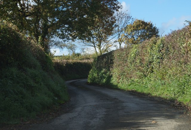
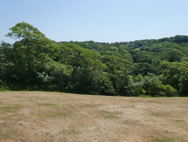
Fairy Cross is a small rural village located in the county of Devon, England. Situated in the South West region of the country, it is surrounded by picturesque countryside and offers a tranquil and idyllic setting for its residents and visitors alike.
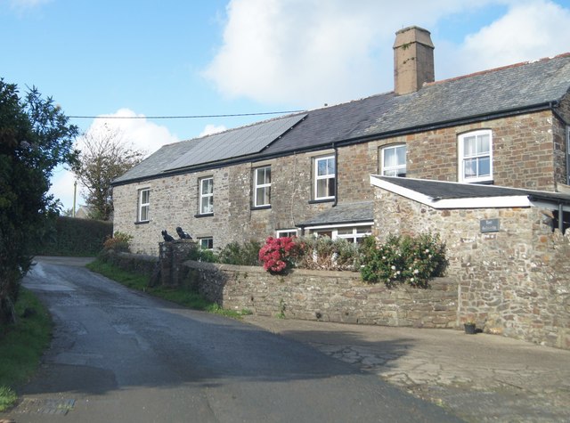
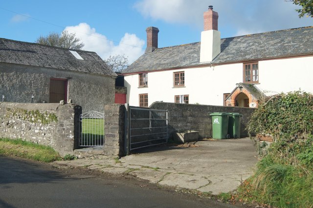
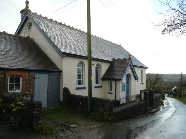
The village is characterized by its charming thatched-roof cottages, traditional architecture, and well-maintained gardens. It has a close-knit community feel, with friendly and welcoming locals who take pride in their village. Fairy Cross is known for its strong sense of community spirit and regular events and activities that bring residents together.
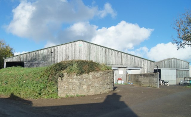
Despite its small size, Fairy Cross boasts a range of amenities and services. These include a village hall, a local pub, a primary school, and a post office, ensuring that residents have convenient access to essential facilities. The village also benefits from excellent transport links, with regular bus services connecting it to nearby towns and cities.
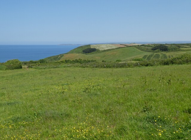
Nature lovers will be delighted by the surrounding countryside, which offers ample opportunities for outdoor activities. The village is located near several nature reserves and walking trails, allowing residents and visitors to explore the stunning landscapes and appreciate the local flora and fauna.
Overall, Fairy Cross is a charming and peaceful village that offers a high quality of life for its residents. With its beautiful surroundings and strong community spirit, it is an attractive destination for those seeking a slower pace of life in the heart of the Devon countryside.
If you have any feedback on the listing, please let us know in the comments section below.
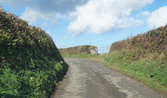
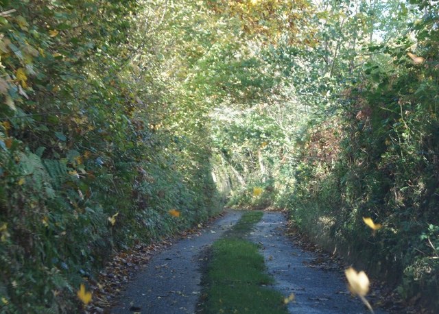
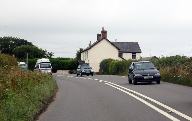
Fairy Cross Images
Images are sourced within 2km of 50.994949/-4.27574 or Grid Reference SS4024. Thanks to Geograph Open Source API. All images are credited.


Fairy Cross is located at Grid Ref: SS4024 (Lat: 50.994949, Lng: -4.27574)
Administrative County: Devon
District: Torridge
Police Authority: Devon and Cornwall
What 3 Words
///vouch.resolves.pursue. Near Bideford, Devon
Nearby Locations
Related Wikis

Alwington
Alwington is a village and civil parish in the Torridge district of Devon, England. The parish is on the coast and includes the hamlets of Alwington, Fairy...
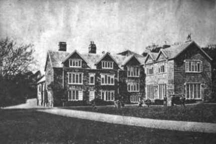
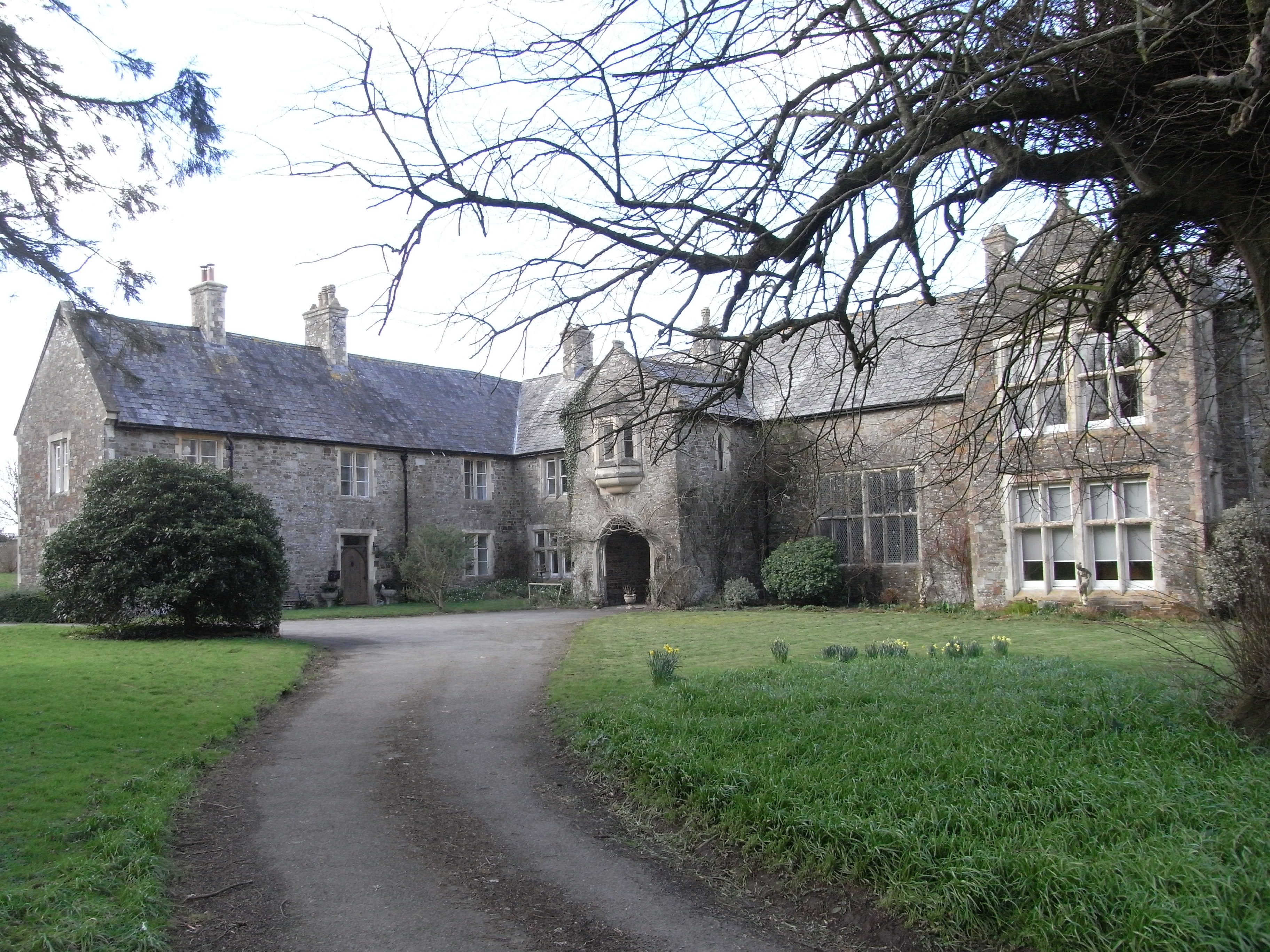
Portledge Manor
Portledge Manor is an English manor house in the parish of Alwington, southwest of Bideford, Devon. It and the land surrounding it belonged to the Coffin...

Peppercombe
Peppercombe is a small valley (combe) on the north-western coast of Devon, England. It is situated on the South West Coast Path between Westward Ho! to...

The Big Sheep
The Big Sheep is an amusement farm park located in Abbotsham, Devon, England. The site was originally Barton Farm, a busy sheep farm owned by six generations...
Orleigh Court
Orleigh Court is a late medieval manor house in the parish of Buckland Brewer about 4 miles (6.4 km) south-west of Bideford, North Devon, England. It is...
Manor of Orleigh
Orleigh is a historic manor in the parish of Buckland Brewer, situated 4 miles to the south west of Bideford, North Devon, England. The manor house is...
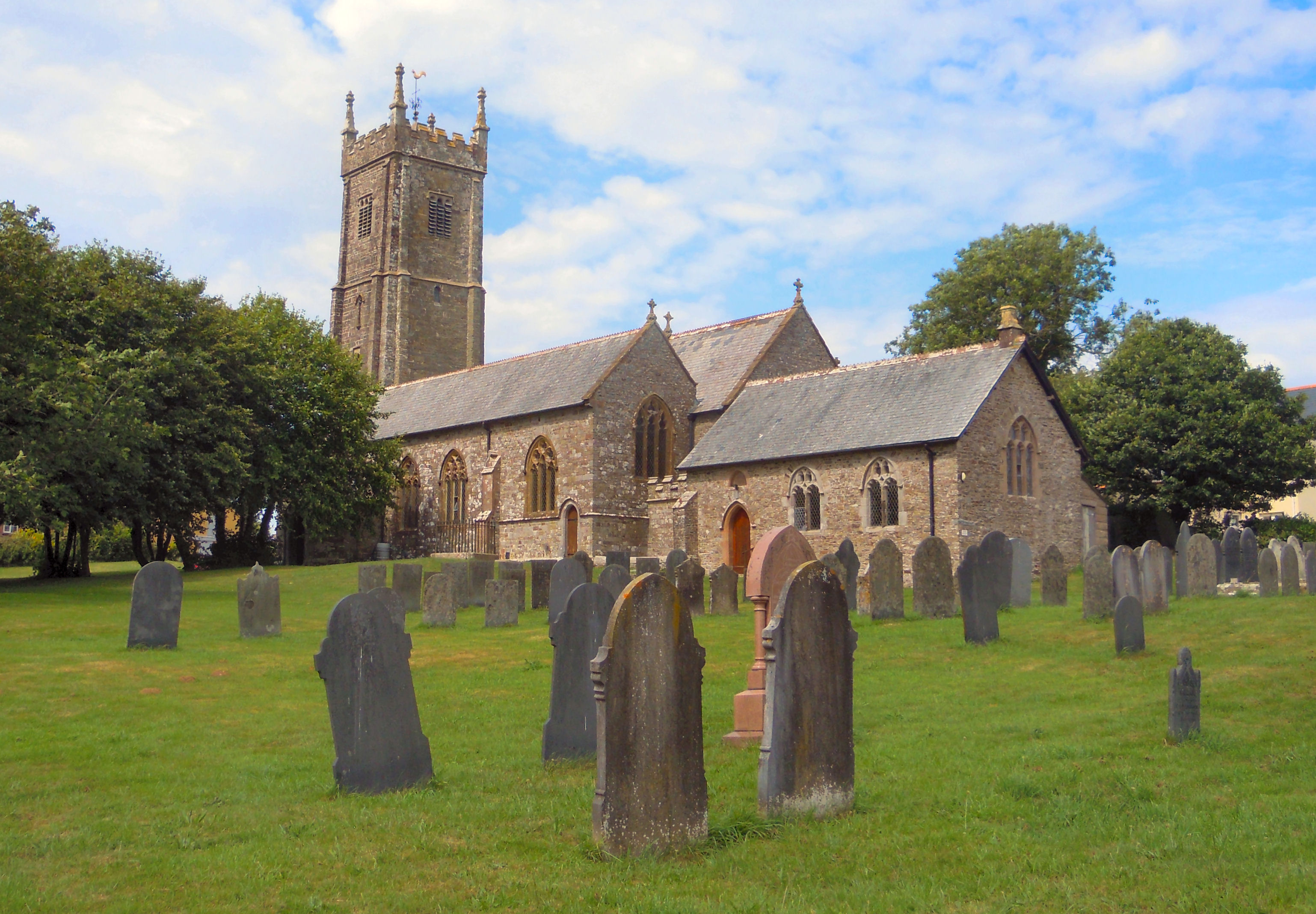
Church of St Mary and St Benedict, Buckland Brewer
St Mary and St Benedict is the Church of England parish church for the village of Buckland Brewer near Bideford in North Devon. It is part of the benefice...
Littleham
Littleham is a village and civil parish in the Torridge district of north Devon in south west England, about 3 miles (4.8 km) south of Bideford. The parish...
Nearby Amenities
Located within 500m of 50.994949,-4.27574Have you been to Fairy Cross?
Leave your review of Fairy Cross below (or comments, questions and feedback).