Alwalton

Civil Parish in Huntingdonshire Huntingdonshire

England

Alwalton

Castor Mills A mid 19th century tower windmill and, behind left, an early 19th century water mill undergoing restoration  <span class="nowrap"><a title="https://historicengland.org.uk/listing/the-list/list-entry/1162635" rel="nofollow ugc noopener" href="https://historicengland.org.uk/listing/the-list/list-entry/1162635">Link</a><img style="margin-left:2px;" alt="External link" title="External link - shift click to open in new window" src="https://s1.geograph.org.uk/img/external.png" width="10" height="10"/></span>
Castor Mills Credit: Tim Heaton

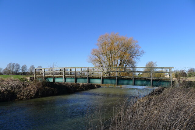
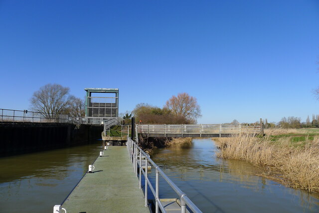
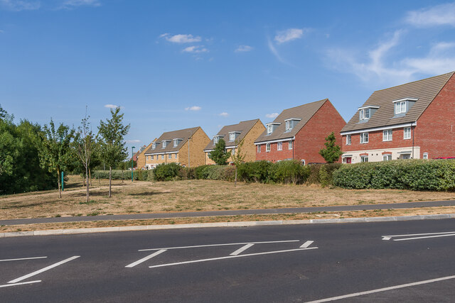
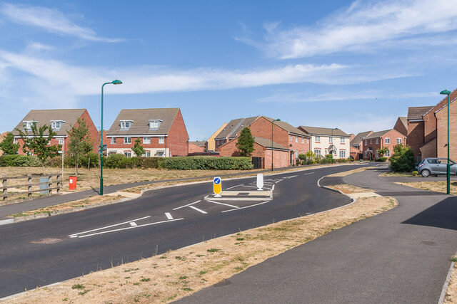
Alwalton is a civil parish located in the district of Huntingdonshire, in the county of Cambridgeshire, England. It is situated approximately 5 miles west of Peterborough and lies on the north bank of the River Nene.

The village of Alwalton is small, with a population of around 500 residents. It has a rich history, dating back to Roman times, and is mentioned in the Domesday Book of 1086. The area is known for its picturesque countryside and is surrounded by farmland.

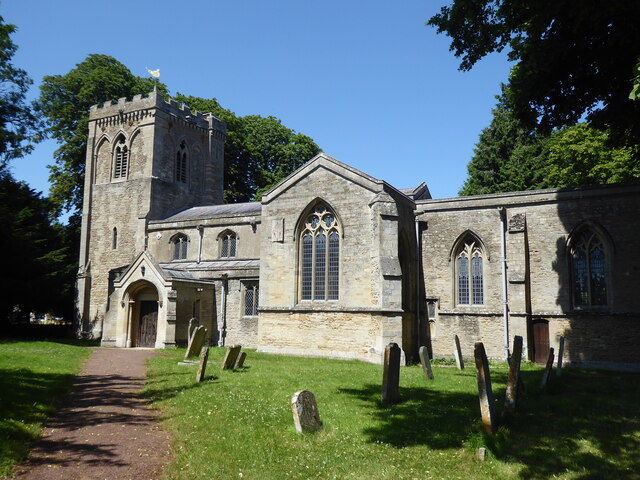
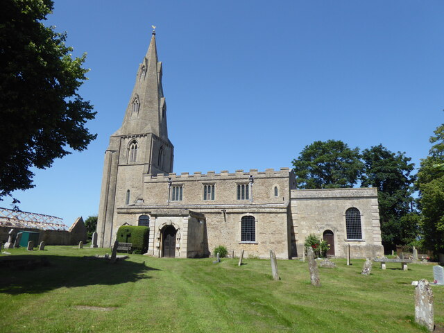
The village is home to several notable landmarks, including St. Andrew's Church, a Grade I listed building that dates back to the 13th century. The church features beautiful stained glass windows and a striking tower. There are also several thatched cottages and traditional stone houses that add to the village's charm.

Alwalton is a quiet and peaceful place, with a strong sense of community. It has a primary school, a village hall, and a local pub, providing essential amenities for its residents. The village is well-connected, with good transport links to nearby towns and cities.

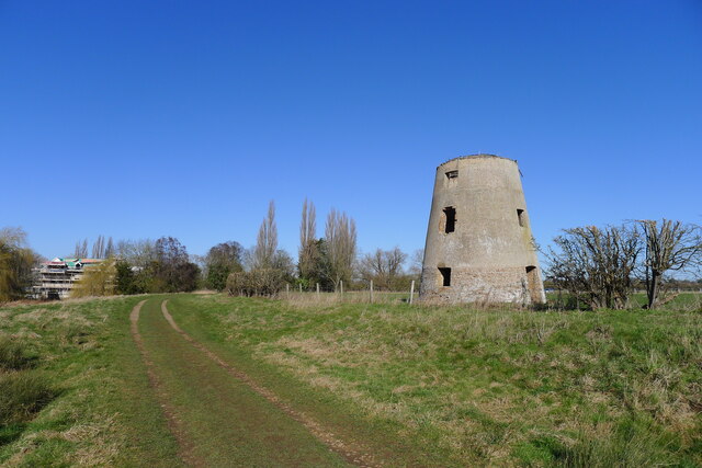
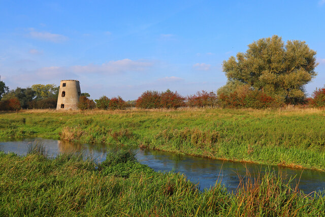
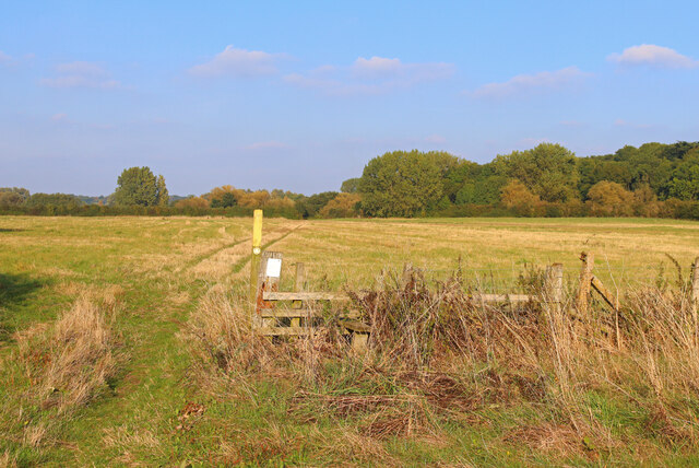
The surrounding area offers plenty of opportunities for outdoor activities, with numerous walking and cycling routes. The nearby Nene Park offers a range of recreational facilities, including a water sports centre and a nature reserve.

Overall, Alwalton is a quaint and historic village that offers a peaceful and picturesque place to live, with easy access to amenities and beautiful countryside.

If you have any feedback on the listing, please let us know in the comments section below.
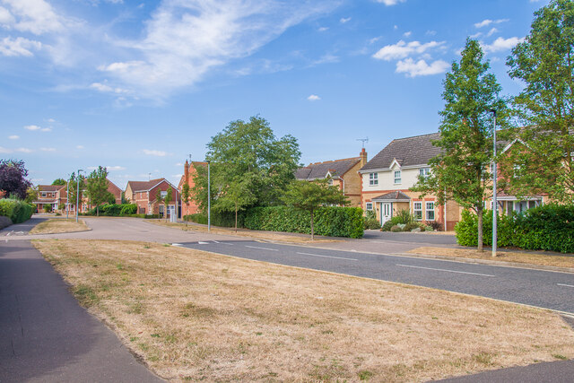
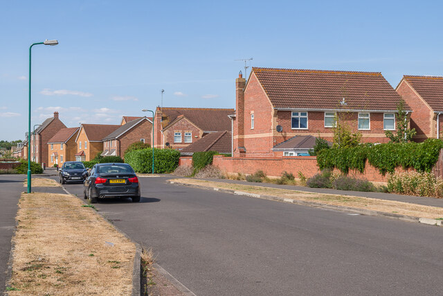
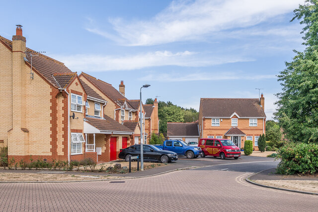
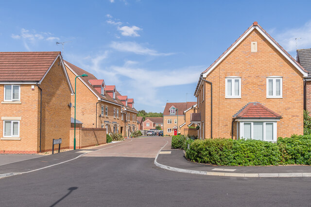
Alwalton Images

Images are sourced within 2km of 52.542432/-0.328941 or Grid Reference TL1395. Thanks to Geograph Open Source API. All images are credited.

Castor Mills A mid 19th century tower windmill and, behind left, an early 19th century water mill undergoing restoration  <span class="nowrap"><a title="https://historicengland.org.uk/listing/the-list/list-entry/1162635" rel="nofollow ugc noopener" href="https://historicengland.org.uk/listing/the-list/list-entry/1162635">Link</a><img style="margin-left:2px;" alt="External link" title="External link - shift click to open in new window" src="https://s1.geograph.org.uk/img/external.png" width="10" height="10"/></span>
Castor Mills
A mid 19th century tower windmill and, behind left, an early 19th century water mill undergoing restoration LinkExternal link
The Hereward Way crossing Back Dike The dike is a short, separate course of the Nene supplying Castor Mill. The small area of land to the left of the bridge, essentially an island between two courses of the river, is Nene Park's 'East Holmes' (see description for <a href="https://www.geograph.org.uk/photo/7110621">TL1097 : Footpath along West Holmes</a>)
The Hereward Way crossing Back Dike
The dike is a short, separate course of the Nene supplying Castor Mill. The small area of land to the left of the bridge, essentially an island between two courses of the river, is Nene Park's 'East Holmes' (see description for TL1097 : Footpath along West Holmes)
Alwalton Lock A common lock type on the Nene: a steel guillotine lock gate on the downstream side, and 'conventional' double 'V door', wooden gates upstream.
Alwalton Lock
A common lock type on the Nene: a steel guillotine lock gate on the downstream side, and 'conventional' double 'V door', wooden gates upstream.
Alwalton, St Andrew
Alwalton, St Andrew
Chesterton, St Michael
Former Windmill Windmill near Castor on the River Nene.
Former Windmill
Windmill near Castor on the River Nene.
Nene Way Footpath near Castor.
Nene Way
Footpath near Castor.
Peterborough Services At the A1/A1(M)/A605/A1139 interchange. Looking west, from the entrance to the Extra concourse.
Peterborough Services
At the A1/A1(M)/A605/A1139 interchange. Looking west, from the entrance to the Extra concourse.
Peterborough Services At the A1/A1(M)/A605/A1139 interchange. Looking northwest, from the entrance to the Extra concourse.
Peterborough Services
At the A1/A1(M)/A605/A1139 interchange. Looking northwest, from the entrance to the Extra concourse.
Peterborough Services At the A1/A1(M)/A605/A1139 interchange. Looking south to the entrance to the Extra concourse.
Peterborough Services
At the A1/A1(M)/A605/A1139 interchange. Looking south to the entrance to the Extra concourse.
Peterborough Services At the A1/A1(M)/A605/A1139 interchange. Looking northeast, from the entrance to the Extra concourse.
Peterborough Services
At the A1/A1(M)/A605/A1139 interchange. Looking northeast, from the entrance to the Extra concourse.
South gate, East of England Showground Side entrance to the East of England Showground off Dunblane Drive.
South gate, East of England Showground
Side entrance to the East of England Showground off Dunblane Drive.
Dunblane Drive 1990s housing.
Dunblane Drive
1990s housing.
Dunblane Drive 1990s housing.
Dunblane Drive
1990s housing.
Glencoe Way 1990s housing off Dunblane Drive.
Glencoe Way
1990s housing off Dunblane Drive.
Caithness Close Cul-de-sac off Dunblane Drive completed in 2012.
Caithness Close
Cul-de-sac off Dunblane Drive completed in 2012.
Behind Kelburn Road The back of houses in Kelburn Road, a cul-de-sac off Loch Lomond Way completed in 2015.
Behind Kelburn Road
The back of houses in Kelburn Road, a cul-de-sac off Loch Lomond Way completed in 2015.
Loch Lomond Way Housing completed in 2014.
Loch Lomond Way
Housing completed in 2014.
Show me another place!

Alwalton is located at Grid Ref: TL1395 (Lat: 52.542432, Lng: -0.328941)

Administrative County: Cambridgeshire

District: Huntingdonshire

Police Authority: Cambridgeshire

What 3 Words

///major.combining.tops. Near Castor, Cambridgeshire

Related Wikis

Alwalton

Alwalton is a village and civil parish in Cambridgeshire, England. Alwalton lies approximately 5 miles (8 km) west of Peterborough city centre. Alwalton...

Chesterton, Huntingdonshire

Chesterton is a small village and civil parish of exactly 56 households in Cambridgeshire, England. The village lies approximately 5 miles (8 km) west...

East of England Showground

The East of England Showground is a large showground area (667,731sqm) located on East of England Way near Peterborough, Cambridgeshire, England. The Showground...

A605 road

The A605 road is a main road in the English counties of Northamptonshire and Cambridgeshire. == Route (west to east) == The A605 strikes north from junction...

Greatest Hits Radio South

Greatest Hits Radio South is a regional radio station serving the South of England, as part of Bauer’s Greatest Hits Radio network. == Coverage == The...

Durobrivae (Water Newton)

Durobrivae was a Roman fortified garrison town located at Water Newton in the English county of Cambridgeshire, where Ermine Street crossed the River Nene...

Castor Flood Meadows

Castor Flood Meadows is a 41.8-hectare (103-acre) biological Site of Special Scientific Interest on the western outskirts of Peterborough in Cambridgeshire...

Nene Valley Railway

The Nene Valley Railway (NVR) is a preserved railway in Cambridgeshire, England, running between Peterborough Nene Valley and Yarwell Junction. The line...

Nearby Amenities

Located within 500m of 52.542432,-0.328941
Motorway Junction
Lat/Long: 52.5459647/-0.3327521
Fuel
BP Kate's Cabin
Brand: BP
Brand Wikidata: Q152057
Fuel GTL Diesel: yes
Fuel Diesel: yes
Fuel Lpg: yes
Fuel Octane 100: yes
Fuel Octane 95: yes
Operator: BP
Lat/Long: 52.5439957/-0.3313561
Barrier: yes
Lat/Long: 52.5424624/-0.3296731
Mini Roundabout
Lat/Long: 52.5442822/-0.3242887
Entrance: main
Source: Bing; knowledge
Lat/Long: 52.5447351/-0.3303906
Communication Mobile Phone: yes
Man Made: mast
Tower Construction: freestanding
Tower Type: communication
Lat/Long: 52.545938/-0.3247806
The data included in this document is from www.openstreetmap.org. The data is made available under ODbL.

Have you been to Alwalton?

Leave your review of Alwalton below (or comments, questions and feedback).