Alwalton

Settlement in Huntingdonshire Huntingdonshire

England

Alwalton

Vetchfield, road
Vetchfield, road Credit: Alex McGregor

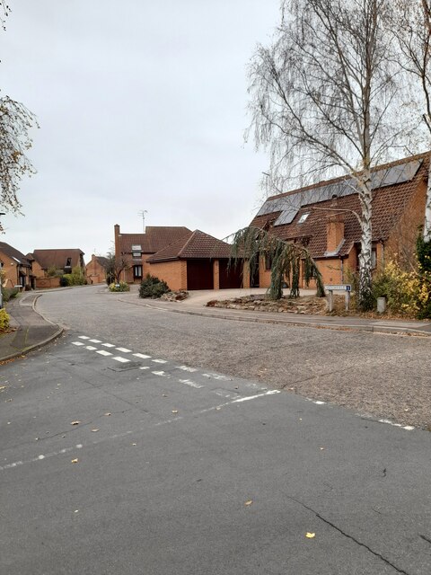
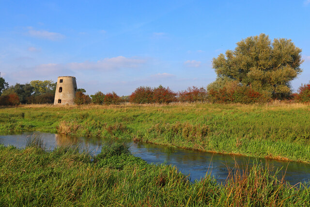
Alwalton is a charming village located in the county of Huntingdonshire, England. Situated about 3 miles west of Peterborough, it is nestled along the banks of the River Nene, providing stunning views of the surrounding countryside. With a population of around 1,000 residents, Alwalton has managed to retain its small village atmosphere while being in close proximity to the city.

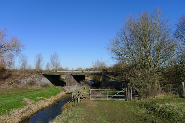
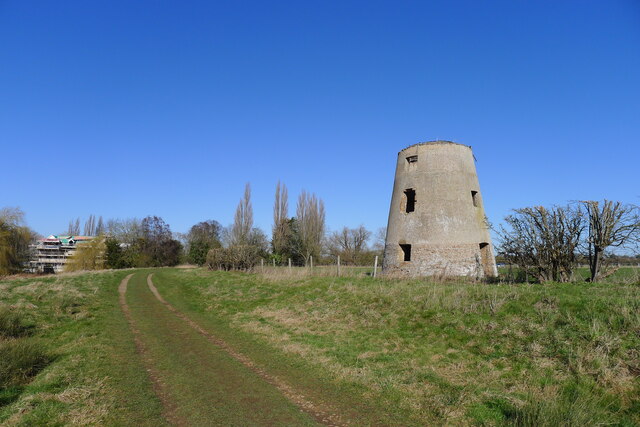
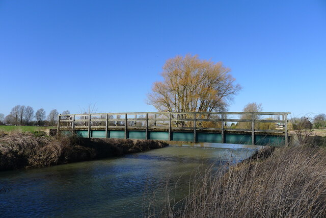
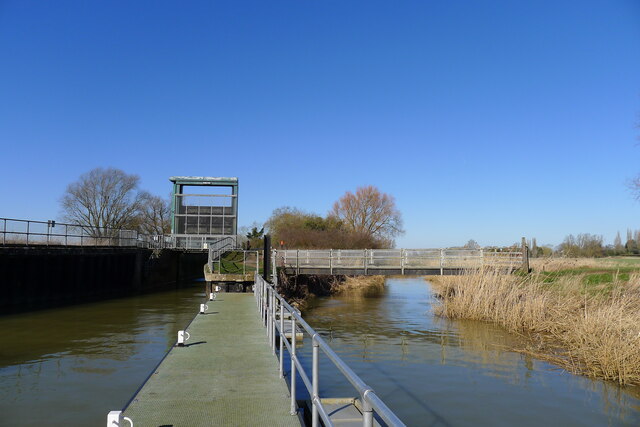
The village is known for its rich history, dating back to the Roman times. It was once an important trading hub due to its location on the River Nene, which facilitated transportation of goods. Today, remnants of this history can still be seen in various Roman artifacts that have been discovered in the area.

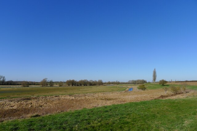
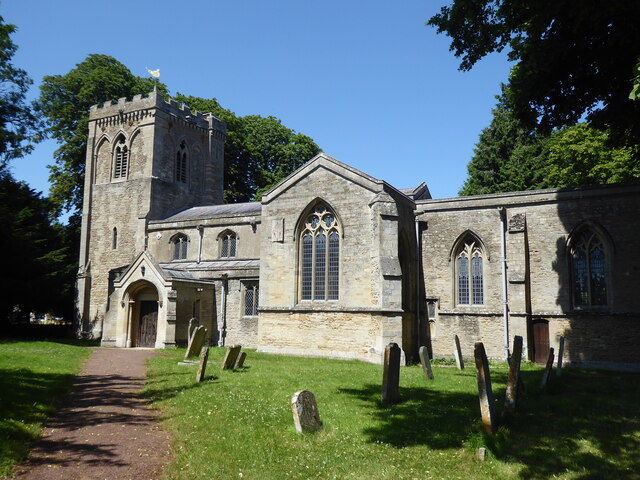
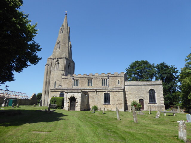
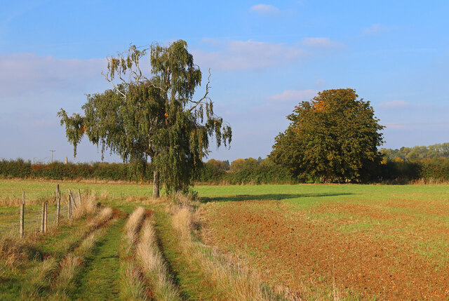
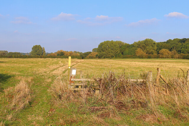
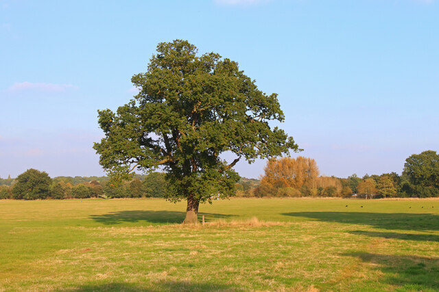
Alwalton boasts a picturesque landscape, with numerous walking and cycling paths that allow residents and visitors to explore the natural beauty of the region. The village is also home to a charming church, St. Andrew's, which dates back to the 12th century. Its stunning architecture and peaceful atmosphere make it a popular destination for weddings and other ceremonies.

In terms of amenities, Alwalton has a thriving community with a primary school, a local pub, and a village hall that hosts various events and activities throughout the year. Additionally, the nearby city of Peterborough offers a wide range of shopping, dining, and entertainment options for residents to enjoy.

Overall, Alwalton is a delightful village that combines a rich history with a tranquil rural setting. Its close proximity to Peterborough makes it an ideal location for those seeking a balance between village life and access to urban amenities.

If you have any feedback on the listing, please let us know in the comments section below.
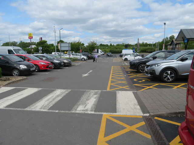
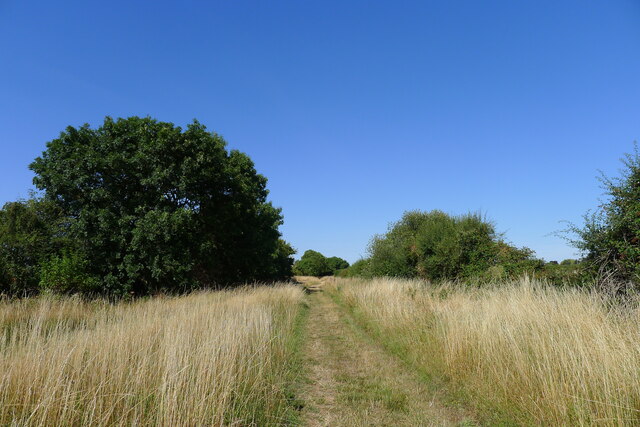
Alwalton Images

Images are sourced within 2km of 52.548782/-0.329098 or Grid Reference TL1395. Thanks to Geograph Open Source API. All images are credited.

Vetchfield, road
Vetchfield, road
The Nene Valley Railway line crossing Splash Dike "Nene Valley Railway is the UK’s leading international steam attraction ... " <span class="nowrap"><a title="https://www.nvr.org.uk/" rel="nofollow ugc noopener" href="https://www.nvr.org.uk/">Link</a><img style="margin-left:2px;" alt="External link" title="External link - shift click to open in new window" src="https://s1.geograph.org.uk/img/external.png" width="10" height="10"/></span>
The Nene Valley Railway line crossing Splash Dike
"Nene Valley Railway is the UK’s leading international steam attraction ... " LinkExternal link
Castor Mills A mid 19th century tower windmill and, behind left, an early 19th century water mill undergoing restoration  <span class="nowrap"><a title="https://historicengland.org.uk/listing/the-list/list-entry/1162635" rel="nofollow ugc noopener" href="https://historicengland.org.uk/listing/the-list/list-entry/1162635">Link</a><img style="margin-left:2px;" alt="External link" title="External link - shift click to open in new window" src="https://s1.geograph.org.uk/img/external.png" width="10" height="10"/></span>
Castor Mills
A mid 19th century tower windmill and, behind left, an early 19th century water mill undergoing restoration LinkExternal link
The Hereward Way crossing Back Dike The dike is a short, separate course of the Nene supplying Castor Mill. The small area of land to the left of the bridge, essentially an island between two courses of the river, is Nene Park's 'East Holmes' (see description for <a href="https://www.geograph.org.uk/photo/7110621">TL1097 : Footpath along West Holmes</a>)
The Hereward Way crossing Back Dike
The dike is a short, separate course of the Nene supplying Castor Mill. The small area of land to the left of the bridge, essentially an island between two courses of the river, is Nene Park's 'East Holmes' (see description for TL1097 : Footpath along West Holmes)
Alwalton Lock A common lock type on the Nene: a steel guillotine lock gate on the downstream side, and 'conventional' double 'V door', wooden gates upstream.
Alwalton Lock
A common lock type on the Nene: a steel guillotine lock gate on the downstream side, and 'conventional' double 'V door', wooden gates upstream.
The Nene flood plain west of Peterborough The Roman garrison town of Durobrivae used to sit on the far bank of the Nene, behind the line of trees  <span class="nowrap"><a title="https://en.wikipedia.org/wiki/Durobrivae_(Water_Newton)" rel="nofollow ugc noopener" href="https://en.wikipedia.org/wiki/Durobrivae_(Water_Newton)">Link</a><img style="margin-left:2px;" alt="External link" title="External link - shift click to open in new window" src="https://s1.geograph.org.uk/img/external.png" width="10" height="10"/></span>
The Nene flood plain west of Peterborough
The Roman garrison town of Durobrivae used to sit on the far bank of the Nene, behind the line of trees LinkExternal link
Alwalton, St Andrew
Alwalton, St Andrew
Chesterton, St Michael
Former Windmill Windmill near Castor on the River Nene.
Former Windmill
Windmill near Castor on the River Nene.
Footpath near the River Nene Sharp turn in the path near Castor.
Footpath near the River Nene
Sharp turn in the path near Castor.
Nene Way Footpath near Castor.
Nene Way
Footpath near Castor.
Lynch Bridge Nene Valley Railway, near Peterborough.
Lynch Bridge
Nene Valley Railway, near Peterborough.
Ferry Meadows Prominent tree, in Ferry Meadows.
Ferry Meadows
Prominent tree, in Ferry Meadows.
Peterborough Services At the A1/A1(M)/A605/A1139 interchange. Looking west, from the entrance to the Extra concourse.
Peterborough Services
At the A1/A1(M)/A605/A1139 interchange. Looking west, from the entrance to the Extra concourse.
Peterborough Services At the A1/A1(M)/A605/A1139 interchange. Looking northwest, from the entrance to the Extra concourse.
Peterborough Services
At the A1/A1(M)/A605/A1139 interchange. Looking northwest, from the entrance to the Extra concourse.
Peterborough Services At the A1/A1(M)/A605/A1139 interchange. Looking south to the entrance to the Extra concourse.
Peterborough Services
At the A1/A1(M)/A605/A1139 interchange. Looking south to the entrance to the Extra concourse.
Peterborough Services At the A1/A1(M)/A605/A1139 interchange. Looking northeast, from the entrance to the Extra concourse.
Peterborough Services
At the A1/A1(M)/A605/A1139 interchange. Looking northeast, from the entrance to the Extra concourse.
Landy Green Way Marked as a footpath. But a parish council notice says that horse riders have temporary permission to use it (i.e.treat it as a bridleway?).
Landy Green Way
Marked as a footpath. But a parish council notice says that horse riders have temporary permission to use it (i.e.treat it as a bridleway?).
Show me another place!

Alwalton is located at Grid Ref: TL1395 (Lat: 52.548782, Lng: -0.329098)

Administrative County: Cambridgeshire

District: Huntingdonshire

Police Authority: Cambridgeshire

What 3 Words

///list.noon.remove. Near Castor, Cambridgeshire

Related Wikis

Alwalton

Alwalton is a village and civil parish in Cambridgeshire, England. Alwalton lies approximately 5 miles (8 km) west of Peterborough city centre. Alwalton...

Greatest Hits Radio South

Greatest Hits Radio South is a regional radio station serving the South of England, as part of Bauer’s Greatest Hits Radio network. == Coverage == The...

East of England Showground

The East of England Showground is a large showground area (667,731sqm) located on East of England Way near Peterborough, Cambridgeshire, England. The Showground...

Chesterton, Huntingdonshire

Chesterton is a small village and civil parish of exactly 56 households in Cambridgeshire, England. The village lies approximately 5 miles (8 km) west...

Nearby Amenities

Located within 500m of 52.548782,-0.329098
Motorway Junction
Lat/Long: 52.5479423/-0.3344958
Barrier: height_restrictor
Maxheight: 2
Lat/Long: 52.5506213/-0.3234526
Holiday Inn Express Peterborough
Addr City: Peterborough
Addr Postcode: PE2 6HE
Addr Street: East Of England Way
Brand: Holiday Inn Express
Brand Wikidata: Q5880423
Fhrs Id: 433907
Internet Access: wlan
Operator: Holiday Inn Express
Tourism: hotel
Wheelchair: yes
Lat/Long: 52.5483448/-0.3233621
Restaurant
Harvester Alwalton
Addr City: Peterborough
Addr Country: GB
Addr Postcode: PE2 6HE
Addr Street: East Of England Way
Brand: Harvester
Brand Wikidata: Q5676915
Brand Wikipedia: en:Harvester (restaurant)
Contact Website: https://www.harvester.co.uk/restaurants/eastofengland/harvesteralwaltonpeterborough
Cuisine: american
Fhrs Id: 246931
Operator: Harvester
Lat/Long: 52.5490213/-0.3227564
Barrier: bollard
Bicycle: designated
Foot: designated
Motor Vehicle: no
Lat/Long: 52.5514642/-0.3235457
Alwalton
Is In: Cambridgeshire, UK
Place: village
Lat/Long: 52.5495688/-0.3290653
Bus Stop
Post Office
Bus: yes
Naptan AtcoCode: 0500HALWA001
Naptan Bearing: E
Naptan CommonName: Post Office
Naptan Indicator: near
Naptan Landmark: Church Street
Naptan NaptanCode: cmbgdwmw
Naptan PlusbusZoneRef: PBRO
Naptan ShortCommonName: Post Office
Naptan Street: Oundle Road
Naptan Verified: no
Public Transport: platform
Source: naptan_import
Lat/Long: 52.5485369/-0.3285962
Bus Stop
Oundle Road
Bus: yes
Naptan AtcoCode: 0500HALWA002
Naptan Bearing: E
Naptan CommonName: Oundle Road
Naptan Indicator: opp No 21
Naptan Landmark: No 21
Naptan NaptanCode: cmbgdwpd
Naptan ShortCommonName: Oundle Road
Naptan Street: Oundle Road
Naptan Verified: no
Public Transport: platform
Source: naptan_import
Lat/Long: 52.5480925/-0.3308697
Parking
Fee: no
Note: Free parking when the Closed sign is not displayed. Car Park is closed when there is an event on at the associated Village Hall.
Park Ride: no
Parking: surface
Lat/Long: 52.5502209/-0.3285316
Motorway Junction
Lat/Long: 52.5459647/-0.3327521
Post Box
Ref: PE7 220
Lat/Long: 52.5485595/-0.3287359
Bus Stop
Alwalton, Layby
Bus: yes
Network: stagecoach
Operator: Stagecoach
Public Transport: platform
Shelter: yes
Lat/Long: 52.5473165/-0.3298079
Bus Stop
Bus: yes
Public Transport: platform
Lat/Long: 52.5480999/-0.3310892
Crossing
Bicycle: yes
Crossing: unmarked
Crossing Island: yes
Crossing Markings: no
Kerb: flush
Tactile Paving: yes
Lat/Long: 52.5487244/-0.3254472
Barrier: cycle_barrier
Lat/Long: 52.5488669/-0.3255482
Barrier: cycle_barrier
Bicycle: yes
Foot: yes
Motor Vehicle: no
Lat/Long: 52.5496138/-0.3221075
Crossing
Crossing: uncontrolled
Lat/Long: 52.5497883/-0.3222248
Crossing
Crossing: uncontrolled
Lat/Long: 52.5498679/-0.322275
Entrance: main
Source: Bing; knowledge
Lat/Long: 52.5447351/-0.3303906
Bus Stop
Lynch Wood, Showground
Bus: yes
Naptan AtcoCode: 0590PLW176
Naptan NaptanCode: PETGDAJ
Network: stagecoach
Operator: Stagecoach
Public Transport: platform
Lat/Long: 52.5503009/-0.3228786
Communication Mobile Phone: yes
Man Made: mast
Tower Construction: freestanding
Tower Type: communication
Lat/Long: 52.545938/-0.3247806
Restaurant
Cast Iron Grill
Addr City: Peterborough
Addr Postcode: PE2 6GB
Level: 0
Wheelchair: yes
Lat/Long: 52.5498324/-0.3247133
Bus Stop
Lynch Wood, Showground
Bus: yes
Network: stagecoach
Operator: Stagecoach
Public Transport: platform
Lat/Long: 52.5502391/-0.3230114
Bus Stop
Alwalton, Layby
Bus: yes
Network: stagecoach
Operator: Stagecoach
Public Transport: platform
Lat/Long: 52.5474253/-0.3291293
Bicycle Parking
Bicycle Parking: wall_loops
Lat/Long: 52.5501849/-0.3242499
Addr Postcode: PE2 6HB
Building: yes
Lat/Long: 52.5479065/-0.3253498
Lynch Wood, Showground
Bus: yes
Network: stagecoach
Operator: Stagecoach
Public Transport: stop_position
Lat/Long: 52.5502552/-0.3229303
Lynch Wood, Showground
Bus: yes
Network: stagecoach
Operator: Stagecoach
Public Transport: stop_position
Lat/Long: 52.5502872/-0.3229475
Alwalton, Layby
Bus: yes
Network: stagecoach
Operator: Stagecoach
Public Transport: stop_position
Lat/Long: 52.5474537/-0.3291558
Alwalton, Layby
Bus: yes
Network: stagecoach
Operator: Stagecoach
Public Transport: stop_position
Lat/Long: 52.5472497/-0.3297454
Generator Method: photovoltaic
Generator Output Electricity: yes
Generator Source: solar
Generator Type: solar_photovoltaic_panel
Location: roof
Power: generator
Lat/Long: 52.5480197/-0.3300163
Generator Method: photovoltaic
Generator Output Electricity: yes
Generator Source: solar
Generator Type: solar_photovoltaic_panel
Location: roof
Power: generator
Lat/Long: 52.5475957/-0.3309685
Entrance: main
Lat/Long: 52.5495052/-0.3298149
Crossing
Bicycle: yes
Crossing: traffic_signals
Crossing Island: no
Crossing Ref: toucan
Kerb: lowered
Tactile Paving: yes
Lat/Long: 52.5495085/-0.3230989
Anglo-saxons
Board Type: history
Information: board
Tourism: information
Lat/Long: 52.5514906/-0.3235941
Street Lamp
Lat/Long: 52.5483271/-0.3220838
Street Lamp
Lat/Long: 52.5485898/-0.3219096
Crossing
Bicycle: yes
Crossing: traffic_signals
Crossing Island: no
Crossing Ref: toucan
Kerb: lowered
Tactile Paving: yes
Lat/Long: 52.550124/-0.3228589
Crossing
Crossing: traffic_signals
Crossing Island: yes
Crossing Ref: toucan
Tactile Paving: yes
Lat/Long: 52.5473525/-0.3294483
Crossing
Crossing: unmarked
Crossing Island: no
Crossing Markings: no
Tactile Paving: yes
Lat/Long: 52.5483884/-0.3281791
Crossing
Crossing: unmarked
Crossing Island: no
Crossing Markings: no
Tactile Paving: yes
Lat/Long: 52.5485508/-0.3257073
Leisure: swimming_pool
Location: indoor
Swimming Pool: spa
Lat/Long: 52.5499009/-0.3243309
The data included in this document is from www.openstreetmap.org. The data is made available under ODbL.

Have you been to Alwalton?

Leave your review of Alwalton below (or comments, questions and feedback).