Alstonefield

Civil Parish in Staffordshire Staffordshire Moorlands

England

Alstonefield

Old dew pond by Millway Lane A neglected dew pond sits dry, neglected and overgrown at the edge of Alstonefield.
Old dew pond by Millway Lane Credit: Ian Calderwood

Alstonefield is a civil parish located in the Staffordshire Moorlands district of Staffordshire, England. It is situated in the stunning Peak District National Park, approximately 10 miles north of Ashbourne and 10 miles south of Buxton. The parish covers an area of around 16 square kilometers and has a population of around 350 people.

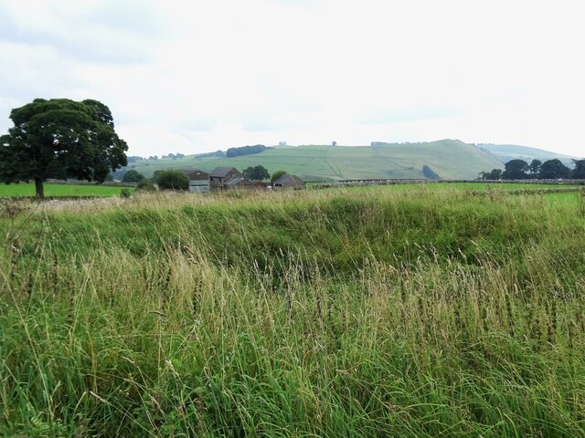
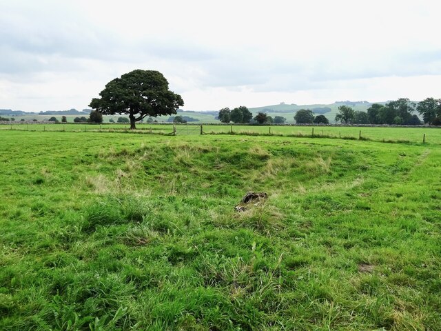
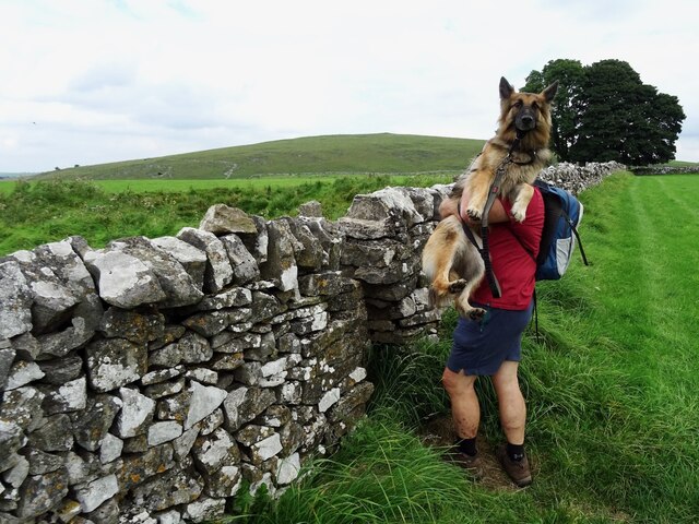
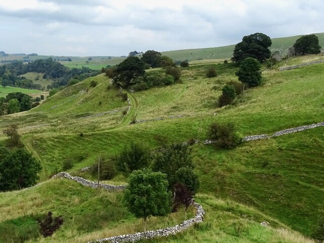
The village of Alstonefield itself is characterized by its charming stone cottages, picturesque landscapes, and a strong sense of community. It is surrounded by rolling hills, lush green fields, and picturesque dales, making it a popular destination for outdoor enthusiasts, hikers, and nature lovers. The River Dove runs through the parish, adding to its natural beauty.

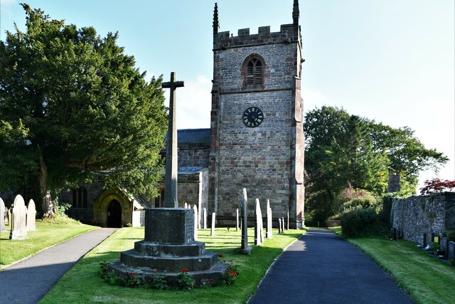
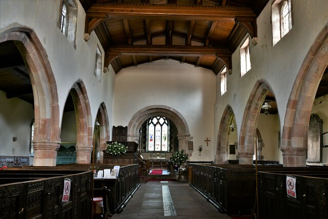
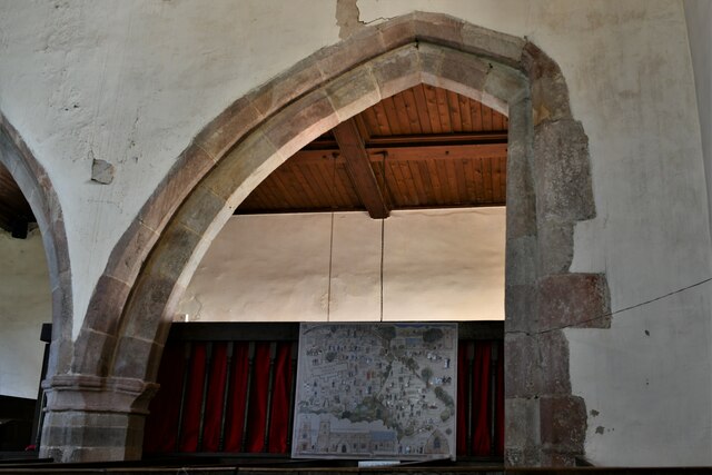
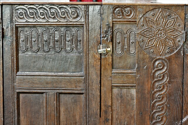
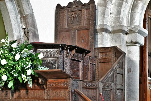
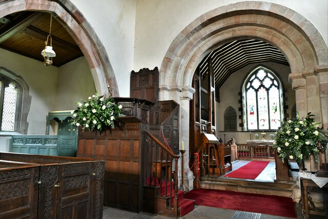
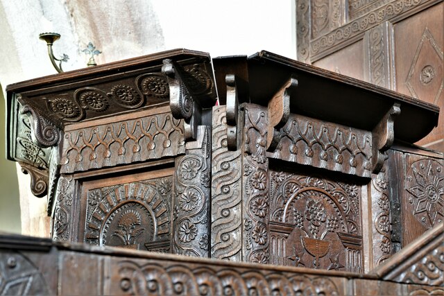
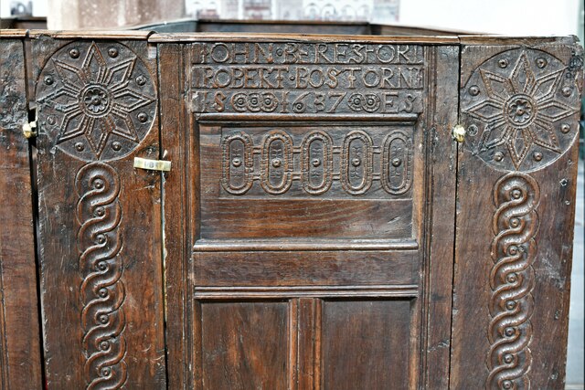
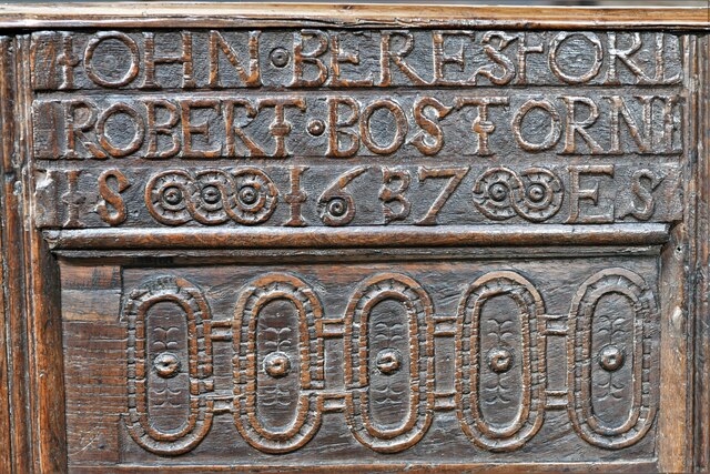
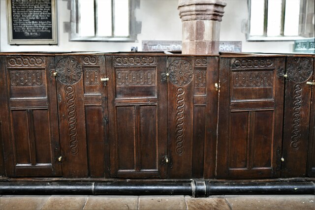
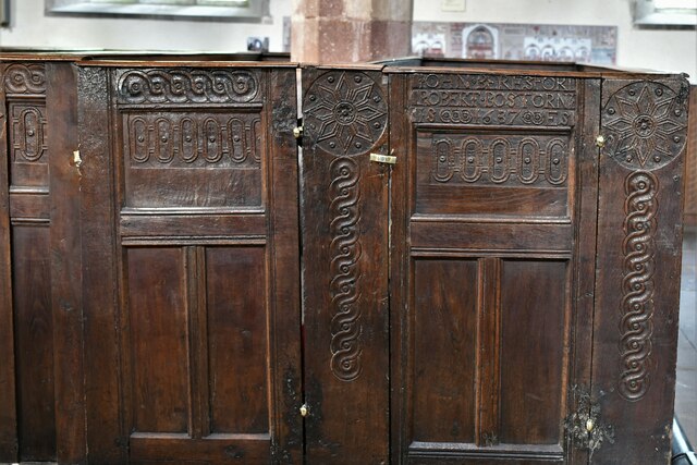
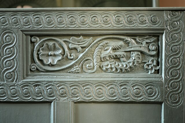
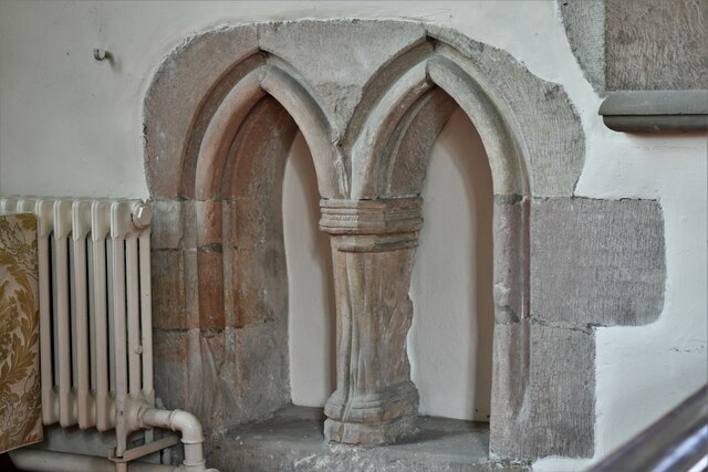
Alstonefield is known for its historic church, St. Peter's, which dates back to the Norman era and features a tower dating from the 13th century. The village also boasts a village hall, a primary school, and a pub serving traditional food and drinks.

The economy of Alstonefield is primarily based on agriculture, with many residents involved in farming and livestock rearing. The village is also a popular tourist destination, attracting visitors with its scenic beauty and tranquil atmosphere. Tourism contributes significantly to the local economy, with several bed and breakfast accommodations, holiday cottages, and camping sites available to cater to the needs of visitors.

Overall, Alstonefield offers a peaceful and idyllic setting, combining natural beauty with a strong sense of community and history. It is a haven for those seeking a rural retreat or a base to explore the stunning Peak District National Park.

If you have any feedback on the listing, please let us know in the comments section below.

Alstonefield Images

Images are sourced within 2km of 53.107482/-1.814156 or Grid Reference SK1256. Thanks to Geograph Open Source API. All images are credited.

Old dew pond by Millway Lane A neglected dew pond sits dry, neglected and overgrown at the edge of Alstonefield.
Old dew pond by Millway Lane
A neglected dew pond sits dry, neglected and overgrown at the edge of Alstonefield.
Old dew pond by Gratton Lane An old dew pond sits dry and neglected in a field by Gratton Lane.
Old dew pond by Gratton Lane
An old dew pond sits dry and neglected in a field by Gratton Lane.
Negotiating a narrow squeeze stile Some squeeze stiles are much narrower at the bottom than at the top, which is fine for humans but can be problematic for dogs.
Negotiating a narrow squeeze stile
Some squeeze stiles are much narrower at the bottom than at the top, which is fine for humans but can be problematic for dogs.
Farm track climbing out of the dale A narrow track winds its way uphill to some farm buildings
Farm track climbing out of the dale
A narrow track winds its way uphill to some farm buildings
Alstonefield, St. Peter's Church
Alstonefield, St. Peter's Church: The nave
Alstonefield, St. Peter's Church: Incomplete last nave arch with south aisle beyond
Alstonefield, St. Peter's Church: Pew detail
Alstonefield, St. Peter's Church: The double-decker pulpit (1637-1639)
Alstonefield, St. Peter's Church: The double-decker pulpit (1637-1639) and Norman chancel arch
Alstonefield, St. Peter's Church: The double-decker pulpit (1637-1639) (detail) 1
Alstonefield, St. Peter's Church: Dated pew with churchwardens names in the NE block
Alstonefield, St. Peter's Church: Pews (1637-1639)
Alstonefield, St. Peter's Church: Dated pew with churchwardens names in the NE block
Alstonefield, St. Peter's Church: The Cotton Family Pew (detail)
Alstonefield, St. Peter's Church: Poppy head
Alstonefield, St. Peter's Church: Double-arched piscina This is so low suggesting that the chancel floor was raised at some time after it was installed.
Alstonefield, St. Peter's Church: Double-arched piscina
This is so low suggesting that the chancel floor was raised at some time after it was installed.
Show me another place!

Alstonefield is located at Grid Ref: SK1256 (Lat: 53.107482, Lng: -1.814156)

Administrative County: Staffordshire

District: Staffordshire Moorlands

Police Authority: Staffordshire

What 3 Words

///deposits.clip.cringes. Near Newhaven, Derbyshire

Related Wikis

Alstonefield

Alstonefield (alternative spelling: Alstonfield) is a village and civil parish in the Peak District National Park and the Staffordshire Moorlands district...

St Peter's Church, Alstonefield

The Church of St Peter in Alstonefield, Staffordshire Moorlands, England is a grade I listed Anglican parish church. The oldest parts are 12th century...

Wolfscote Hill

Wolfscote Hill is a limestone hill near the village of Hartington in the Derbyshire Peak District. The summit is 388 metres (1,273 ft) above sea level...

Wetton, Staffordshire

Wetton is a village in the Peak District National Park, North Staffordshire, at the top of the east side of the Manifold Valley. The population recorded...

Long Low, Wetton

Long Low is a Neolithic and Bronze Age site in the English county of Staffordshire. It is about 2 km SE of Wetton (grid reference SK122539).It consists...

Tissington Trail

The Tissington Trail is a bridleway, footpath and cycleway in Derbyshire, England, along part of the trackbed of the former railway line connecting Ashbourne...

Redhurst Crossing railway station

Redhurst Crossing railway station was a minor station on the Leek and Manifold Light Railway, located between Wetton Mill railway station, Staffordshire...

Wetton Mill railway station

Wetton Mill railway station was a minor station on the Leek and Manifold Light Railway serving the nearby Wetton Mill in Wetton, Staffordshire. The site...

Nearby Amenities

Located within 500m of 53.107482,-1.814156
Barrier: stile
Foot: yes
Lat/Long: 53.1072899/-1.8120435
Barrier: stile
Foot: yes
Lat/Long: 53.1078221/-1.8067615
Barrier: stile
Foot: yes
Material: stone
Stile: squeezer
Lat/Long: 53.1107487/-1.8132063
Barrier: stile
Foot: yes
Lat/Long: 53.1065127/-1.8123325
Barrier: stile
Foot: yes
Lat/Long: 53.1045513/-1.8102875
Barrier: stile
Foot: yes
Lat/Long: 53.1086764/-1.8121372
Barrier: stile
Foot: yes
Lat/Long: 53.1050681/-1.8112254
Barrier: stile
Foot: yes
Stile: squeezer
Lat/Long: 53.1072452/-1.8120379
Barrier: stile
Material: stone
Source: survey;gps
Stile: squeezer
Lat/Long: 53.107462/-1.8120424
Barrier: stile
Steps: 2
Stile: stepover
Lat/Long: 53.1081533/-1.8096441
Fixme: gate, stile?
Lat/Long: 53.1037536/-1.8130228
Barrier: stile
Material: stone
Source: survey;bing;gps
Stile: squeezer
Lat/Long: 53.1046869/-1.8127048
Fixme: gate, stile?
Lat/Long: 53.1049674/-1.8162835
Fixme: gate, stile?
Lat/Long: 53.1050696/-1.8166759
Barrier: stile
Steps: 1
Stile: stepover
Lat/Long: 53.1113059/-1.8103297
Information: route_marker
Tourism: information
Lat/Long: 53.1060257/-1.8152914
Information: route_marker
Tourism: information
Lat/Long: 53.1072601/-1.8120187
Information: route_marker
Tourism: information
Lat/Long: 53.108293/-1.8092507
Information: route_marker
Tourism: information
Lat/Long: 53.1112866/-1.8103235
Barrier: stile
Material: stone
Source: survey;gps
Stile: stepover
Lat/Long: 53.1107539/-1.8131902
The data included in this document is from www.openstreetmap.org. The data is made available under ODbL.

Have you been to Alstonefield?

Leave your review of Alstonefield below (or comments, questions and feedback).