Alston Moor

Civil Parish in Cumberland Eden

England

Alston Moor

Alston Moor View from the B6277.
Alston Moor Credit: Sandy Gerrard

Alston Moor is a civil parish located in the county of Cumberland, in the northwestern region of England. Situated in the scenic Pennine Hills, it is known for its picturesque landscapes and rich history. With a population of around 1,200 people, it is a small but vibrant community.

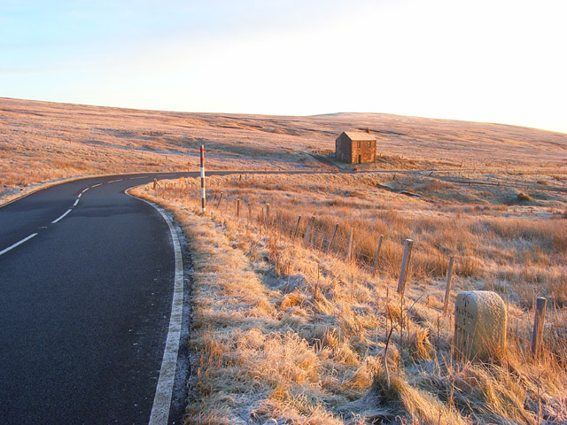
The area has a long history of lead mining, dating back to the Roman times. It was one of the most important lead mining regions in Europe during the 18th and 19th centuries. The remnants of this mining heritage can still be seen today, with several disused mine shafts and buildings scattered across the countryside.

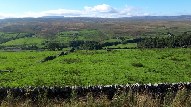
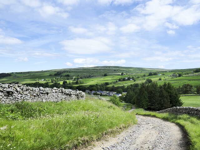
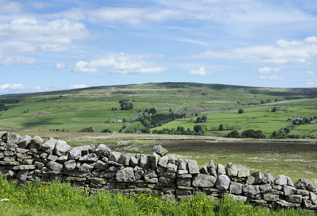
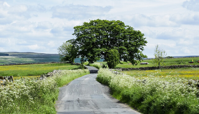
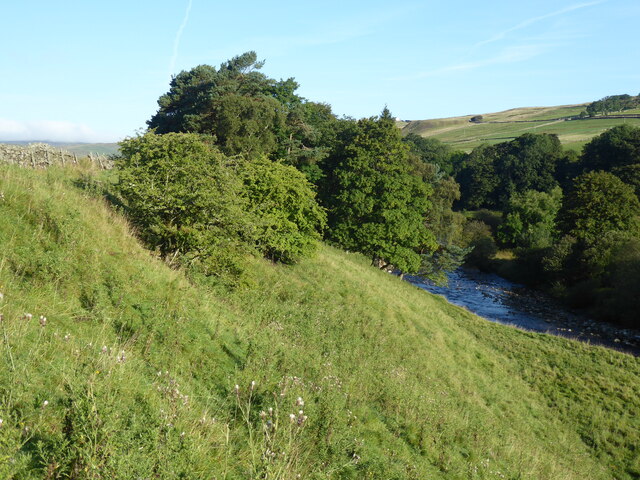
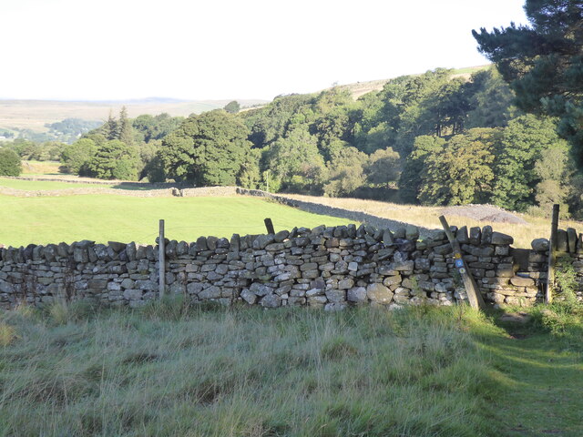
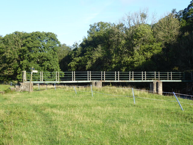
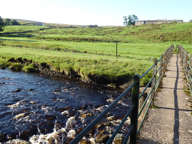
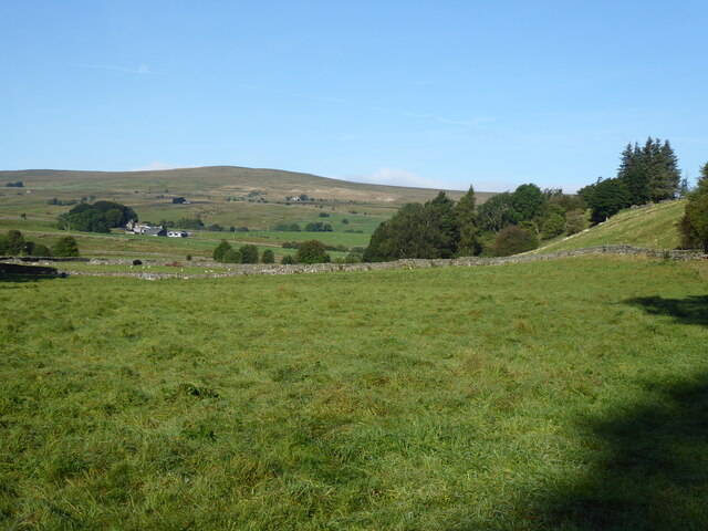
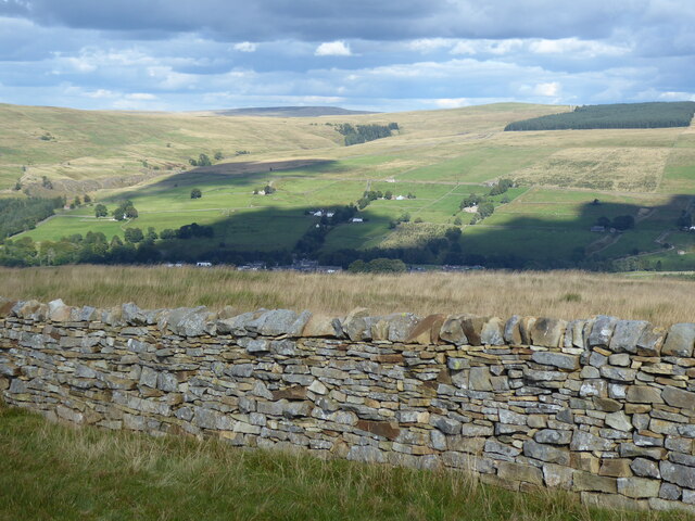
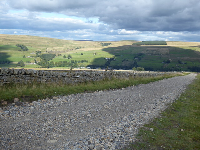
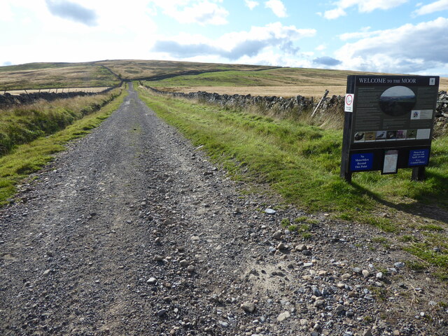
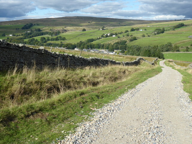
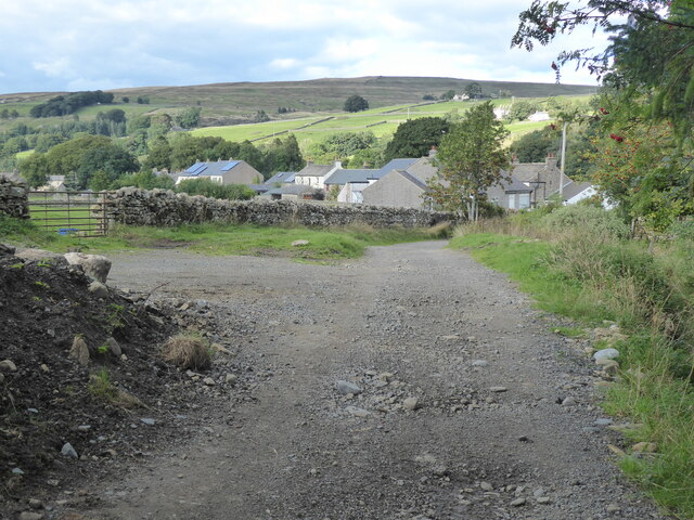
Alston Moor is blessed with stunning natural beauty, with rolling hills, lush green fields, and charming villages. The surrounding countryside offers numerous opportunities for outdoor activities, such as hiking, cycling, and wildlife spotting. The Pennine Way, a famous long-distance footpath, passes through the area, attracting many walkers and nature enthusiasts.

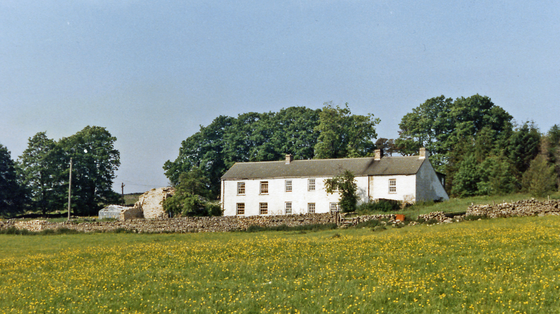
The parish is home to a close-knit community, with a range of amenities and services available to residents and visitors alike. There are several shops, pubs, and restaurants, as well as a primary school and a community center. The local economy is primarily based on agriculture, tourism, and small-scale businesses.

Alston Moor is a place of tranquility and natural beauty, attracting those seeking a peaceful retreat or outdoor adventure. With its rich history, stunning landscapes, and friendly community, it is a hidden gem in the heart of Cumberland.

If you have any feedback on the listing, please let us know in the comments section below.
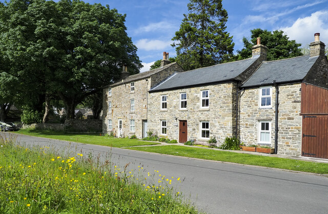
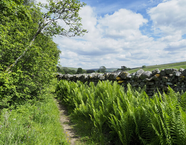
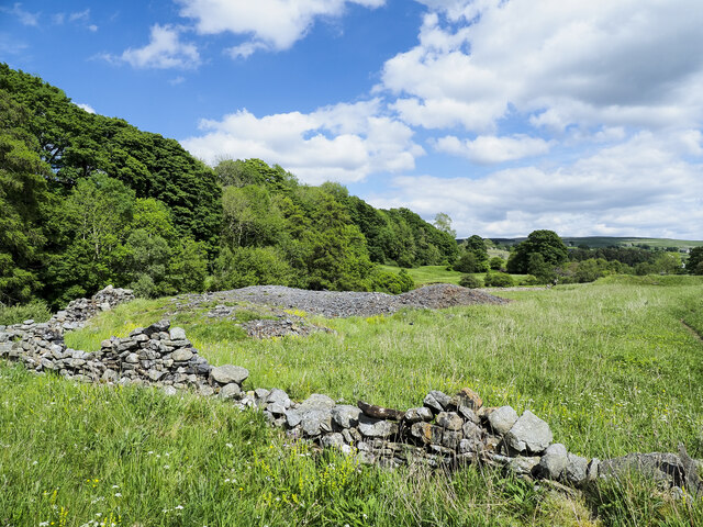
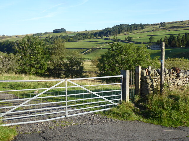
Alston Moor Images

Images are sourced within 2km of 54.77269/-2.414065 or Grid Reference NY7342. Thanks to Geograph Open Source API. All images are credited.

Alston Moor View from the B6277.
Alston Moor
View from the B6277.
Pennine Way descending towards Garrigill The roofs of houses in Garrigill can be seen close to the centre of the image.
The hill dome in the distance lies beyond the valley of the River South Tyne and is named vaguely on OS Maps as (part of ) Alston Moor, and / or as Middle Fell.
Pennine Way descending towards Garrigill
The roofs of houses in Garrigill can be seen close to the centre of the image. The hill dome in the distance lies beyond the valley of the River South Tyne and is named vaguely on OS Maps as (part of ) Alston Moor, and / or as Middle Fell.
Grassy moorland beyond dry stone wall The wall is on the north side of the road which carries the route of the Pennine Way. The moorland beyond it is named vaguely and broadly on OS maps as Alston Moor.
The hill dome in the distance lies beyond the valley of the River South Tyne and is also named vaguely on OS Maps as (part of ) Alston Moor, and / or as Middle Fell.
Grassy moorland beyond dry stone wall
The wall is on the north side of the road which carries the route of the Pennine Way. The moorland beyond it is named vaguely and broadly on OS maps as Alston Moor. The hill dome in the distance lies beyond the valley of the River South Tyne and is also named vaguely on OS Maps as (part of ) Alston Moor, and / or as Middle Fell.
Trees beside minor road - summer version The road is heading towards the village at Garrigill. An image made just over four years earlier from an almost identical position conveys a quite different feeling with snow remnants on the distant moorland slopes - <a title="https://www.geograph.org.uk/photo/5716864" href="https://www.geograph.org.uk/photo/5716864">Link</a> .
Trees beside minor road - summer version
The road is heading towards the village at Garrigill. An image made just over four years earlier from an almost identical position conveys a quite different feeling with snow remnants on the distant moorland slopes - Link .
The Old Fox The house with the brown door was once a pub; The Fox. It closed apparently in the 1930s but as late as the 1980s the name lettering and other detail could still be discerned on the wall despite coats of paint and rendering - <a title="https://www.geograph.org.uk/photo/6725477" href="https://www.geograph.org.uk/photo/6725477">Link</a> .
The Old Fox
The house with the brown door was once a pub; The Fox. It closed apparently in the 1930s but as late as the 1980s the name lettering and other detail could still be discerned on the wall despite coats of paint and rendering - Link .
Path, ferns and wall close to River South Tyne The footpath is the route of the Pennine Way, here heading towards Garrigill. The river lies to the left, beyond bushes and trees.
Path, ferns and wall close to River South Tyne
The footpath is the route of the Pennine Way, here heading towards Garrigill. The river lies to the left, beyond bushes and trees.
Mine spoil heap beside Pennine Way The amount of spoil is relatively small but it's greater than just the exposed stony material. It extends to the right where it's grassed over and ends at what must be a mine level which is almost hidden and is flooded to its roof.
Mine spoil heap beside Pennine Way
The amount of spoil is relatively small but it's greater than just the exposed stony material. It extends to the right where it's grassed over and ends at what must be a mine level which is almost hidden and is flooded to its roof.
The Pennine Way near Garrigill
The Pennine Way near Low Redwing
The Pennine Way near High Skydes
The Pennine Way near Dryburn
The Pennine Way near Meadow Flat
View towards Garrigill from the Pennine Way
The Pennine Way near Black Band
The Pennine Way near Crossgill Farm
The Pennine Way near Garrigill
Show me another place!

Alston Moor is located at Grid Ref: NY7342 (Lat: 54.77269, Lng: -2.414065)

Administrative County: Cumbria

District: Eden

Police Authority: Cumbria

What 3 Words

///fumes.puddings.binds. Near Alston, Cumbria

Nearby Locations

Alston Moor

Related Wikis

Related Videos

Alston Fair, Cumbria, Spring Bank Holiday Monday, 29/05/2023.

Fantastic Weather for the Alston Fair on this lovely Spring Bank Holiday Monday with lots of fun things to do at the highest Market ...

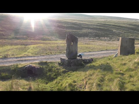
VIEWS ALONG THE RIVER TYNE The source of the River South Tyne

Views along the River Tyne. This video shows us in the summer of 2023, walking to the source of the South Tyne. It is across the ...

Garrigill Circular - Cumbria

Good evening everyone!! I hope everyone is well! Apologies for the quietness of late, been super busy with new job, life and ...

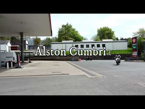
The Lovely Market Town Of Alston, North Pennines Cumbria.

High up in the North Pennines Alston claims to be the highest market town in England, being about 1000 ft above sea level in the ...

Nearby Amenities

Located within 500m of 54.77269,-2.414065
Barrier: stile
Material: stone
Stile: stepover
Lat/Long: 54.7710989/-2.4202742
Information: guidepost
Tourism: information
Lat/Long: 54.7710777/-2.4202616
Ford: yes
Lat/Long: 54.7706565/-2.4202613
Barrier: cattle_grid
Lat/Long: 54.7690112/-2.4116064
Ford: yes
Lat/Long: 54.7720099/-2.4096811
Power: pole
Lat/Long: 54.774305/-2.4209328
Power: pole
Lat/Long: 54.7738312/-2.4198416
Power: pole
Lat/Long: 54.7733459/-2.4187405
Power: pole
Lat/Long: 54.7728607/-2.4176395
Power: pole
Lat/Long: 54.7725724/-2.4169689
Power: pole
Lat/Long: 54.7721628/-2.4155858
Power: pole
Lat/Long: 54.7717857/-2.4142794
Power: pole
Lat/Long: 54.7711879/-2.4122084
Power: pole
Lat/Long: 54.7708525/-2.4110702
Power: pole
Lat/Long: 54.7705214/-2.409932
Power: pole
Lat/Long: 54.770196/-2.408826
Power: pole
Lat/Long: 54.7699005/-2.4106669
Power: pole
Lat/Long: 54.7713506/-2.4147297
Power: pole
Lat/Long: 54.7739439/-2.4179413
Power: pole
Lat/Long: 54.7742108/-2.4175628
Power: pole
Lat/Long: 54.7745576/-2.4179042
Power: pole
Lat/Long: 54.7749244/-2.418258
Power: pole
Lat/Long: 54.7752712/-2.4186045
Ford: yes
Lat/Long: 54.7743902/-2.4127614
The data included in this document is from www.openstreetmap.org. The data is made available under ODbL.

Have you been to Alston Moor?

Leave your review of Alston Moor below (or comments, questions and feedback).