Alsager
Civil Parish in Cheshire
England
Alsager

Alsager is a civil parish located in the ceremonial county of Cheshire, England. Situated in the southern part of the county, Alsager is approximately 7 miles northwest of the city of Stoke-on-Trent and 23 miles southeast of the city of Chester. It covers an area of about 2.5 square miles and has a population of over 11,000 residents.
The town of Alsager has a rich history, with evidence of human settlement dating back to the Neolithic period. During the Roman era, a road known as the Salt Road passed through the area, connecting the salt mines of Cheshire with other parts of the country. Today, remnants of this ancient road can still be seen.
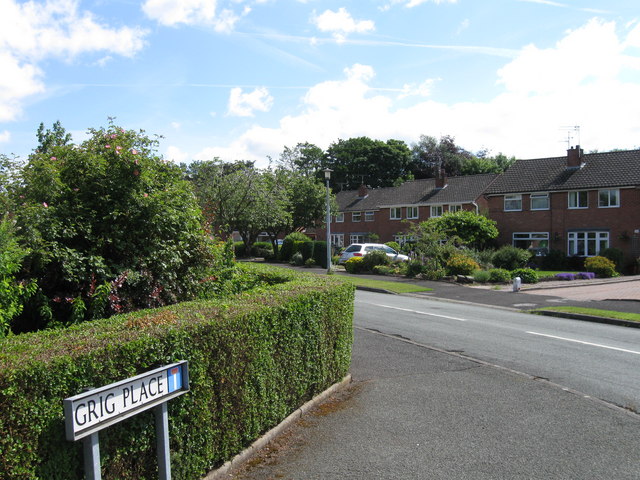
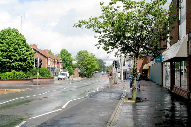
Alsager offers a range of amenities and services to its residents, including several primary schools, a high school, a library, and a leisure center. The town center features a variety of shops, restaurants, and cafes, providing a vibrant hub for both locals and visitors.
Nature enthusiasts can enjoy the beautiful green spaces in and around Alsager, such as the Alsager Mere, a lake formed during the last Ice Age. The area is also home to several parks and nature reserves, providing opportunities for outdoor activities and wildlife spotting.
Transport links in Alsager are well-developed, with regular bus services connecting the town to nearby cities and towns. The town also has its own railway station, providing convenient access to other parts of the country.
Overall, Alsager offers a blend of historical significance, natural beauty, and modern amenities, making it an attractive place to live and visit in Cheshire.
If you have any feedback on the listing, please let us know in the comments section below.
Alsager Images
Images are sourced within 2km of 53.093798/-2.308336 or Grid Reference SJ7955. Thanks to Geograph Open Source API. All images are credited.


Alsager is located at Grid Ref: SJ7955 (Lat: 53.093798, Lng: -2.308336)
Unitary Authority: Cheshire East
Police Authority: Cheshire
What 3 Words
///fired.spellings.rated. Near Alsager, Cheshire
Related Wikis
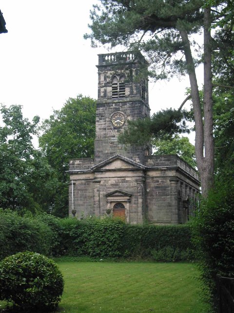
St Mary Magdalene's Church, Alsager
St Mary Magdalene's Church is in Crewe Road, Alsager, Cheshire, England. It is an active Anglican parish church in the deanery of Congleton, the archdeaconry...
Alsager
Alsager ( AWL-say-jər) is a town and civil parish in the unitary authority of Cheshire East in Cheshire, England. It is located to the north-west of Stoke...

Alsager Urban District
Alsager is a former Urban District in Cheshire, based in the town of Alsager. It was created in 1894 and abolished in 1974 when it was incorporated into...
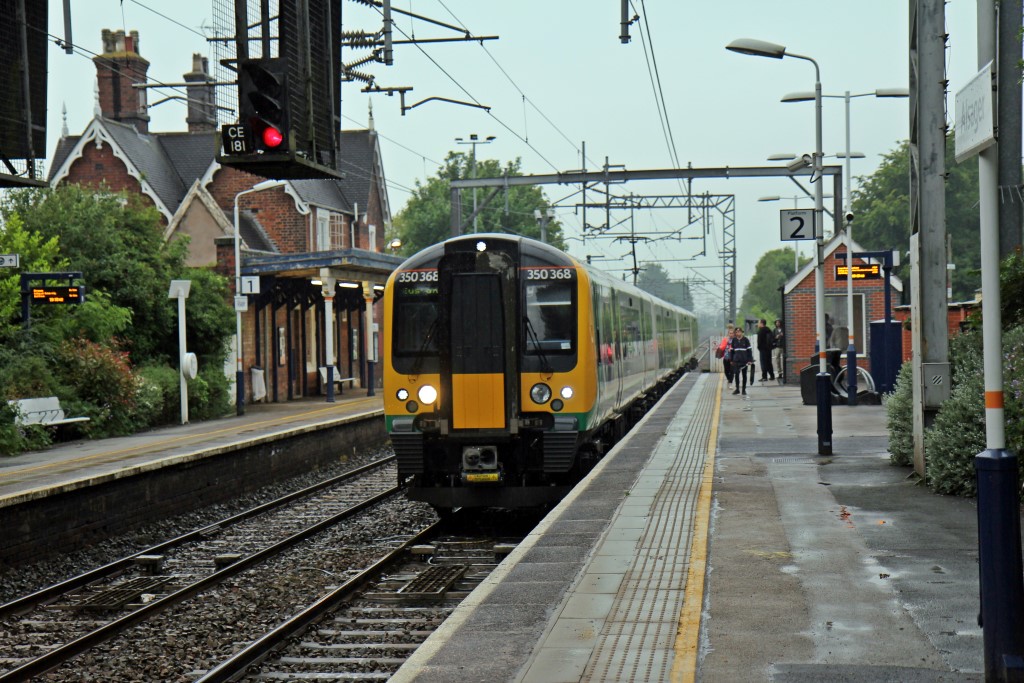
Alsager railway station
Alsager railway station serves the town of Alsager in Cheshire, England. It stands next to a level crossing and is approximately 600 yards from the town...
Nearby Amenities
Located within 500m of 53.093798,-2.308336Have you been to Alsager?
Leave your review of Alsager below (or comments, questions and feedback).