Low Plantation

Wood, Forest in Staffordshire Staffordshire Moorlands

England

Low Plantation

Old dew pond by Millway Lane A neglected dew pond sits dry, neglected and overgrown at the edge of Alstonefield.
Old dew pond by Millway Lane Credit: Ian Calderwood

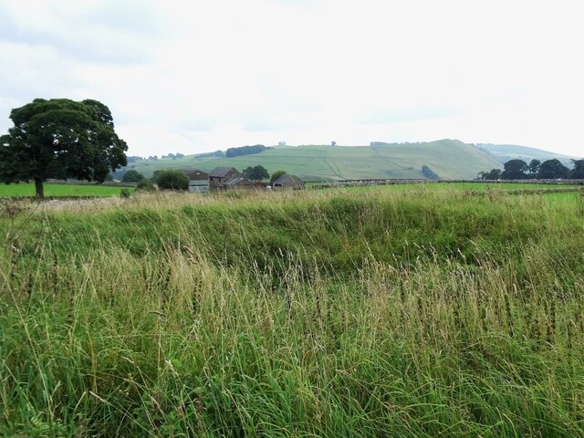
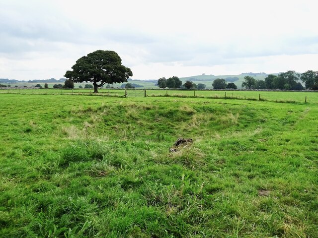
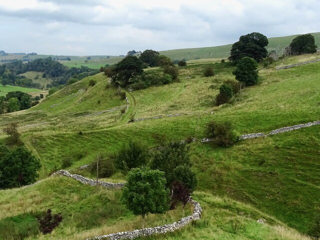
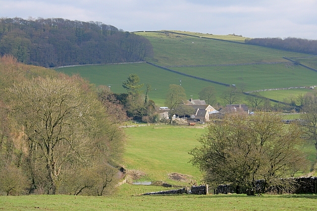
Low Plantation is a woodland area located in Staffordshire, England. Nestled amidst the picturesque countryside, it is a popular destination for nature enthusiasts and outdoor lovers. The plantation covers a vast area, primarily consisting of densely packed trees, creating a serene and tranquil environment.

The woodland is predominantly composed of deciduous trees such as oak, beech, and birch, adding to the natural beauty of the area. The rich biodiversity found within Low Plantation makes it an ideal habitat for a variety of wildlife. Visitors may encounter various bird species, including woodpeckers, owls, and songbirds, filling the air with their melodious tunes. Additionally, small mammals like squirrels, rabbits, and foxes can often be spotted darting among the undergrowth.

Low Plantation offers a range of recreational activities for visitors to enjoy. There are several well-maintained walking trails that meander through the woodland, allowing individuals to explore the area at their own pace. These paths provide opportunities for nature observation, providing a chance to appreciate the flora and fauna that thrives within the plantation.

As an area of natural beauty, Low Plantation is also a popular spot for picnics and family outings. Its peaceful ambiance, coupled with scenic views, makes it an ideal location to relax and unwind. In addition, the woodland provides a natural playground for children, offering them a chance to engage in imaginative play and discover the wonders of nature.

Overall, Low Plantation in Staffordshire, England, offers a serene and captivating experience for individuals seeking a connection with nature. Its diverse ecosystem, coupled with recreational opportunities, makes it a must-visit destination for both locals and tourists alike.

If you have any feedback on the listing, please let us know in the comments section below.

Low Plantation Images

Images are sourced within 2km of 53.105972/-1.8090497 or Grid Reference SK1256. Thanks to Geograph Open Source API. All images are credited.

Old dew pond by Millway Lane A neglected dew pond sits dry, neglected and overgrown at the edge of Alstonefield.
Old dew pond by Millway Lane
A neglected dew pond sits dry, neglected and overgrown at the edge of Alstonefield.
Old dew pond by Gratton Lane An old dew pond sits dry and neglected in a field by Gratton Lane.
Old dew pond by Gratton Lane
An old dew pond sits dry and neglected in a field by Gratton Lane.
Negotiating a narrow squeeze stile Some squeeze stiles are much narrower at the bottom than at the top, which is fine for humans but can be problematic for dogs.
Negotiating a narrow squeeze stile
Some squeeze stiles are much narrower at the bottom than at the top, which is fine for humans but can be problematic for dogs.
Farm track climbing out of the dale A narrow track winds its way uphill to some farm buildings
Farm track climbing out of the dale
A narrow track winds its way uphill to some farm buildings
Alstonefield, St. Peter's Church
Alstonefield, St. Peter's Church: The nave
Alstonefield, St. Peter's Church: Incomplete last nave arch with south aisle beyond
Alstonefield, St. Peter's Church: Pew detail
Alstonefield, St. Peter's Church: The double-decker pulpit (1637-1639)
Alstonefield, St. Peter's Church: The double-decker pulpit (1637-1639) and Norman chancel arch
Alstonefield, St. Peter's Church: The double-decker pulpit (1637-1639) (detail) 1
Alstonefield, St. Peter's Church: Dated pew with churchwardens names in the NE block
Alstonefield, St. Peter's Church: Pews (1637-1639)
Alstonefield, St. Peter's Church: Dated pew with churchwardens names in the NE block
Alstonefield, St. Peter's Church: The Cotton Family Pew (detail)
Alstonefield, St. Peter's Church: Poppy head
Alstonefield, St. Peter's Church: Double-arched piscina This is so low suggesting that the chancel floor was raised at some time after it was installed.
Alstonefield, St. Peter's Church: Double-arched piscina
This is so low suggesting that the chancel floor was raised at some time after it was installed.
Show me another place!

Low Plantation is located at Grid Ref: SK1256 (Lat: 53.105972, Lng: -1.8090497)

Administrative County: Staffordshire

District: Staffordshire Moorlands

Police Authority: Staffordshire

What 3 Words

///should.sponge.available. Near Newhaven, Derbyshire

Related Wikis

Alstonefield

Alstonefield (alternative spelling: Alstonfield) is a village and civil parish in the Peak District National Park and the Staffordshire Moorlands district...

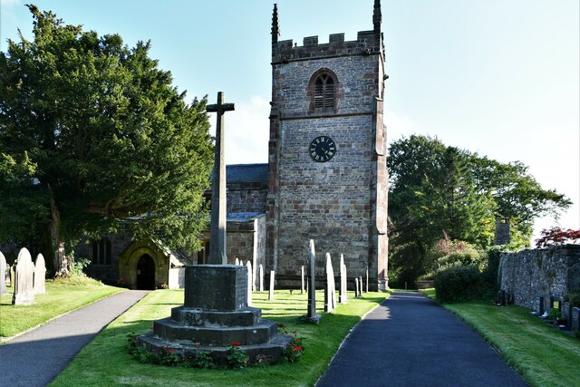
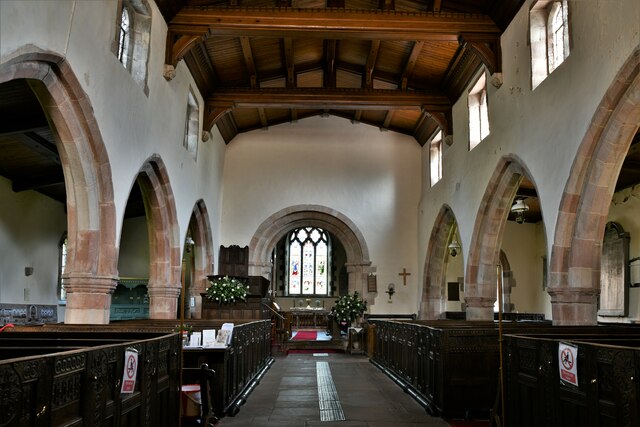
St Peter's Church, Alstonefield

The Church of St Peter in Alstonefield, Staffordshire Moorlands, England is a grade I listed Anglican parish church. The oldest parts are 12th century...

Wolfscote Hill

Wolfscote Hill is a limestone hill near the village of Hartington in the Derbyshire Peak District. The summit is 388 metres (1,273 ft) above sea level...

Wetton, Staffordshire

Wetton is a village in the Peak District National Park, North Staffordshire, at the top of the east side of the Manifold Valley. The population recorded...

Tissington Trail

The Tissington Trail is a bridleway, footpath and cycleway in Derbyshire, England, along part of the trackbed of the former railway line connecting Ashbourne...

Long Low, Wetton

Long Low is a Neolithic and Bronze Age site in the English county of Staffordshire. It is about 2 km SE of Wetton (grid reference SK122539).It consists...

Eaton and Alsop

Eaton and Alsop is a civil parish within the Derbyshire Dales district, in the county of Derbyshire, England. Largely rural, Along with the adjacent Newton...

Alsop en le Dale railway station

Alsop en le Dale railway station was opened in 1899 near Alsop en le Dale and Alstonefield, villages in Derbyshire southeast of Buxton. It was on the...

Nearby Amenities

Located within 500m of 53.105972,-1.8090497
Barrier: stile
Foot: yes
Lat/Long: 53.1072899/-1.8120435
Barrier: stile
Foot: yes
Lat/Long: 53.1078221/-1.8067615
Barrier: stile
Foot: yes
Lat/Long: 53.1073943/-1.8051153
Barrier: stile
Foot: yes
Material: stone
Source: survey;gps
Stile: stepover
Lat/Long: 53.1055653/-1.8023126
Barrier: stile
Foot: yes
Lat/Long: 53.1024253/-1.8080102
Barrier: stile
Foot: yes
Lat/Long: 53.1065127/-1.8123325
Barrier: stile
Foot: yes
Lat/Long: 53.1034451/-1.8092232
Barrier: stile
Foot: yes
Lat/Long: 53.1045513/-1.8102875
Barrier: stile
Foot: yes
Lat/Long: 53.1018345/-1.8074118
Barrier: stile
Foot: yes
Lat/Long: 53.1027607/-1.8084348
Barrier: stile
Foot: yes
Lat/Long: 53.1086764/-1.8121372
Barrier: stile
Foot: yes
Lat/Long: 53.1050681/-1.8112254
Barrier: stile
Foot: yes
Stile: squeezer
Lat/Long: 53.1072452/-1.8120379
Barrier: stile
Material: stone
Source: survey;gps
Stile: squeezer
Lat/Long: 53.107462/-1.8120424
Barrier: stile
Steps: 2
Stile: stepover
Lat/Long: 53.1081533/-1.8096441
Fixme: gate, stile?
Lat/Long: 53.1037536/-1.8130228
Barrier: stile
Material: stone
Source: survey;bing;gps
Stile: squeezer
Lat/Long: 53.1046869/-1.8127048
Fixme: gate, stile?
Lat/Long: 53.1049674/-1.8162835
Barrier: entrance
Source: survey;gps
Lat/Long: 53.1042036/-1.8066132
Barrier: stile
Material: stone
Source: survey;gps
Stile: squeezer
Lat/Long: 53.1051742/-1.8056137
Barrier: stile
Material: stone
Source: survey;gps
Stile: stepover
Lat/Long: 53.1065249/-1.8023523
Fixme: stile or gate?
Lat/Long: 53.1068453/-1.8043098
Information: route_marker
Tourism: information
Lat/Long: 53.1060257/-1.8152914
Information: route_marker
Tourism: information
Lat/Long: 53.1072601/-1.8120187
Information: route_marker
Tourism: information
Lat/Long: 53.108293/-1.8092507
The data included in this document is from www.openstreetmap.org. The data is made available under ODbL.

Have you been to Low Plantation?

Leave your review of Low Plantation below (or comments, questions and feedback).