Alpington
Civil Parish in Norfolk South Norfolk
England
Alpington
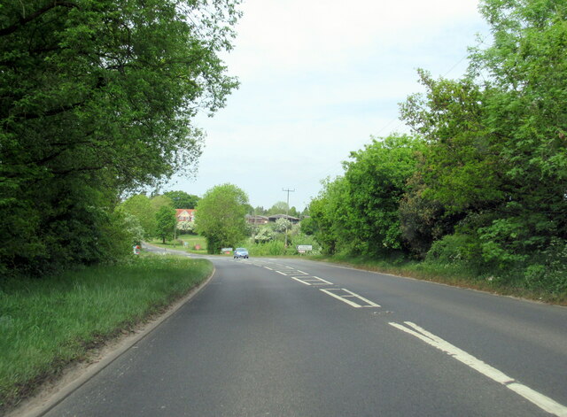
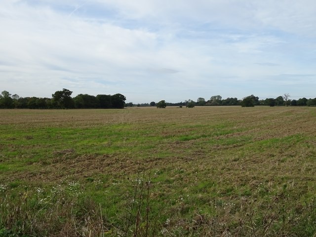
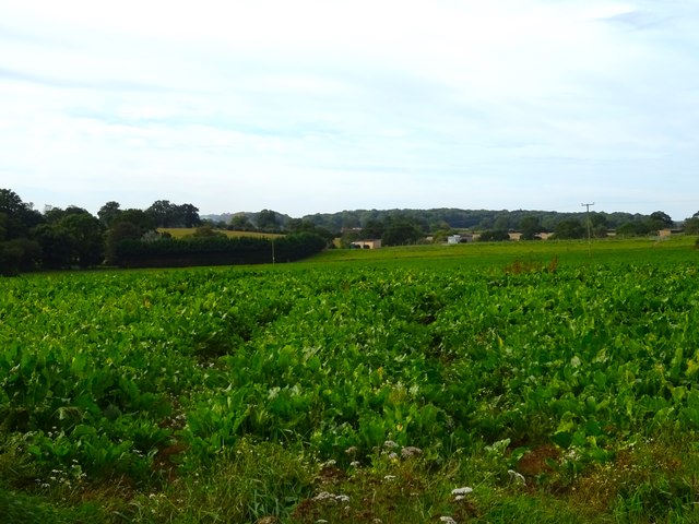
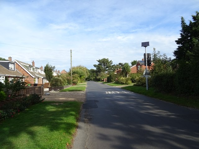
Alpington is a civil parish situated in the county of Norfolk, England. It is located approximately 10 miles south-east of Norwich, the county's capital city. The village is nestled in a rural area, surrounded by picturesque countryside and farmland.
Alpington is a small and close-knit community with a population of around 700 residents. The village is characterized by its tranquil atmosphere and traditional English charm. It offers a peaceful and idyllic setting for those seeking a quiet and rural lifestyle.
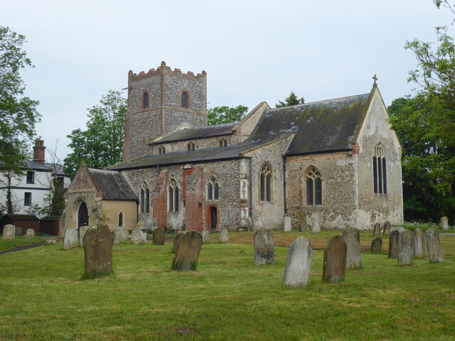
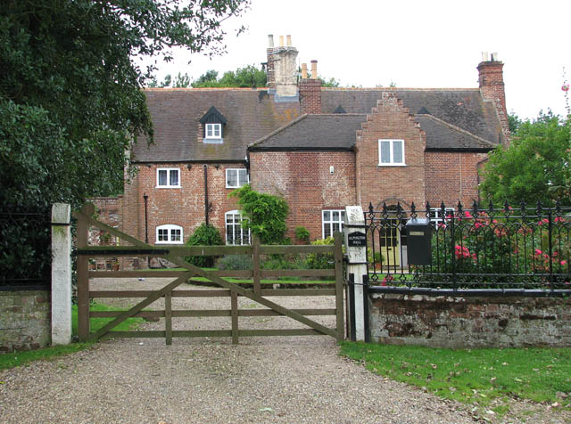
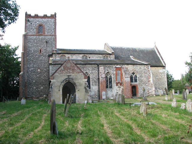
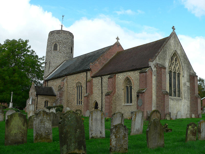
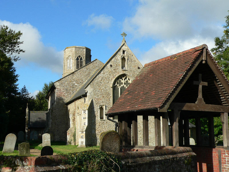
The focal point of the village is the All Saints Church, a beautiful medieval building that dates back to the 14th century. The church is a prominent landmark and serves as a reminder of the area's rich historical heritage. Additionally, there is a village hall that serves as a hub for community activities and events.
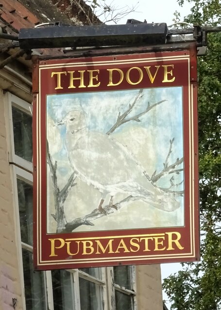
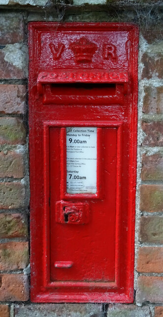
The village of Alpington benefits from a range of amenities and services, including a primary school, a post office, and a local shop. There are also several pubs and restaurants in the surrounding area, providing opportunities for socializing and dining out.
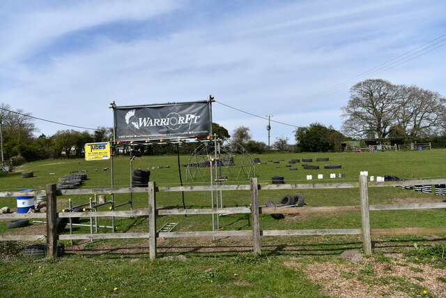
The countryside surrounding Alpington offers ample opportunities for outdoor activities such as walking, hiking, and cycling. There are numerous footpaths and bridleways that crisscross the area, allowing residents and visitors to explore the beautiful landscapes and enjoy the fresh air.
Overall, Alpington is a charming and peaceful village that offers a high quality of life for its residents. Its rural location, combined with its historical heritage and community spirit, make it an attractive place to live or visit in Norfolk.
If you have any feedback on the listing, please let us know in the comments section below.
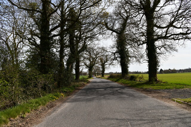
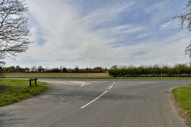
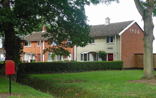
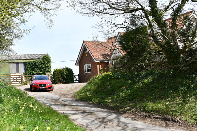
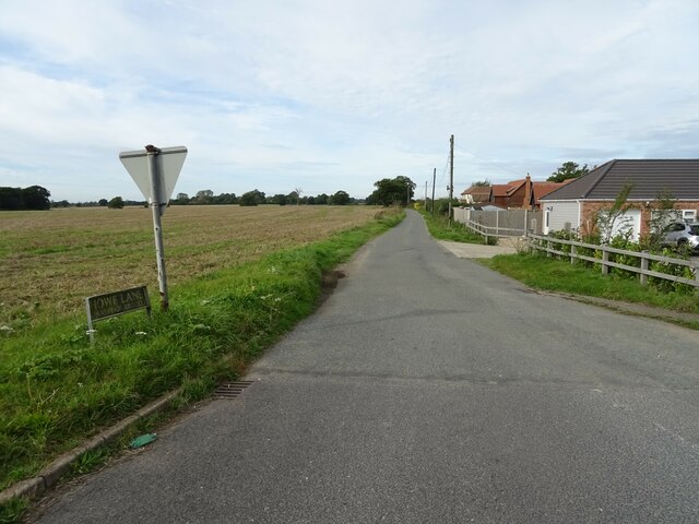
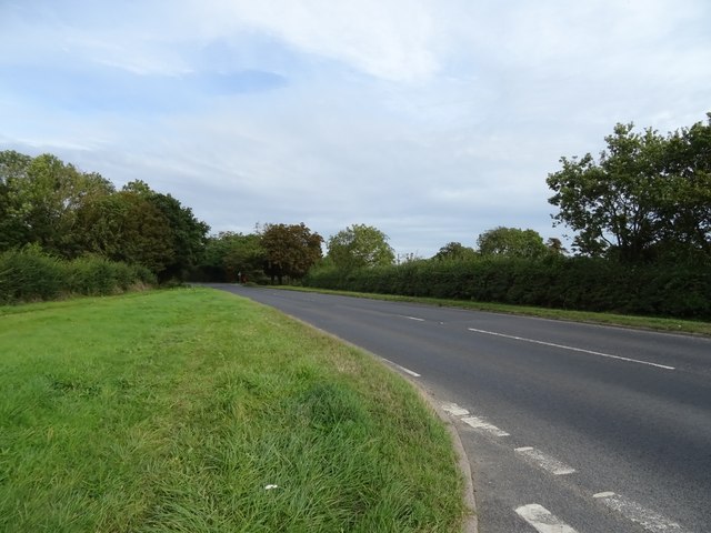
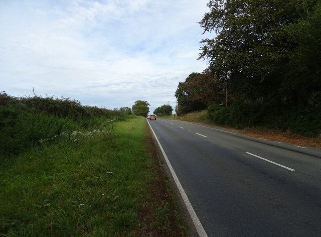
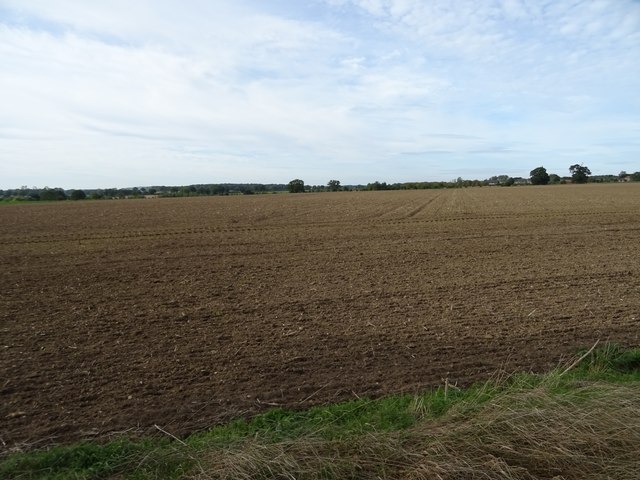
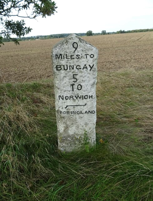
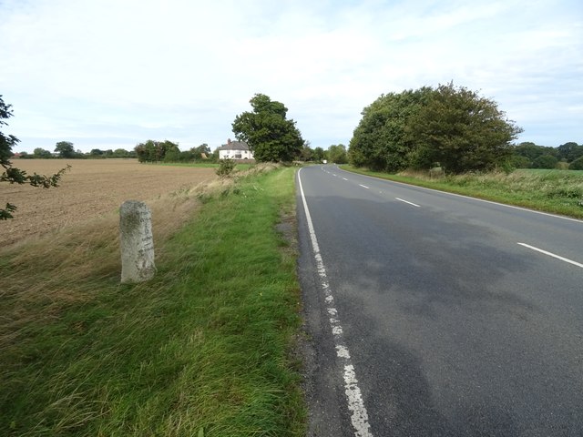
Alpington Images
Images are sourced within 2km of 52.562989/1.382628 or Grid Reference TG2901. Thanks to Geograph Open Source API. All images are credited.
Alpington is located at Grid Ref: TG2901 (Lat: 52.562989, Lng: 1.382628)
Administrative County: Norfolk
District: South Norfolk
Police Authority: Norfolk
What 3 Words
///duplicity.ribs.contracts. Near Poringland, Norfolk
Related Wikis
Alpington
Alpington is a village and civil parish in the English county of Norfolk. It is situated about six miles (10 km) south-east of Norwich and is closely associated...
Yelverton, Norfolk
Yelverton is a village and civil parish in the English county of Norfolk, situated some 5 miles (8.0 km) south east of Norwich and closely associated with...

Bergh Apton
Bergh Apton is a village and civil parish in the South Norfolk district of Norfolk, England, 7 miles (11 km) south-east of Norwich just south of the A146...
Brooke, Norfolk
Brooke is a village and civil parish in the South Norfolk district of Norfolk, England, about 7 miles south of Norwich and roughly equidistant from Norwich...

Bergh Apton Anglo-Saxon cemetery
Bergh Apton Anglo-Saxon cemetery is a late-5th to late-6th century Anglo-Saxon burial site discovered at Bergh Apton, Norfolk. The site was excavated in...

Framingham Earl
Framingham Earl is a small village and civil parish in the English county of Norfolk. The village is located 5.8 miles (9.3 km) north-west of Loddon and...
Poringland
Poringland is a village in the district of South Norfolk, England. It lies 5 miles (8.0 km) south of Norwich city centre and 10 miles (16 km) north of...

Holverston
Holverston is a civil parish in the county of Norfolk, England ¾ mile (1¼ km) southeast of Rockland St. Mary. It includes the 16th century Holverston Hall...
Nearby Amenities
Located within 500m of 52.562989,1.382628Have you been to Alpington?
Leave your review of Alpington below (or comments, questions and feedback).